

Vuillemin Atlas of 1861
Step 0 of 0
1
E98 - Title Page: Atlas illustre de geographie commerciale et industrielle
2
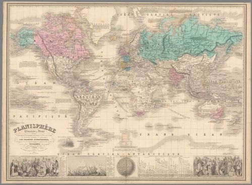
E98 - Pl. 1. Planisphere : Elementaire et Illustre
3
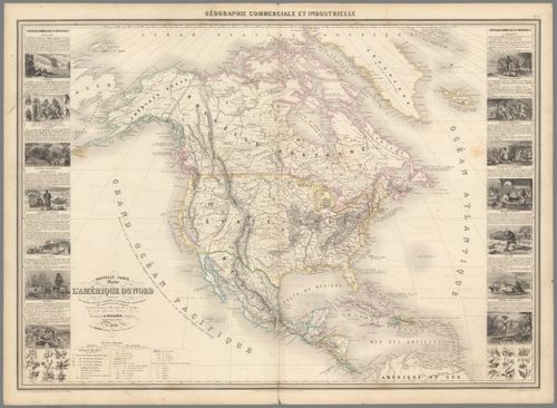
E98 - Pl. 15. Nouvelle carte illustree de l'Amerique du Nord
4
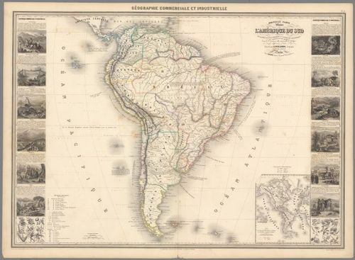
E98 - Pl. 16. Nouvelle carte illustree de l'Amerique du Sud
5
E98 - Text: Introduction
6
E98 - Text: (Continues) Introduction. Carte composant l'atlas de geographie commercile ...
7
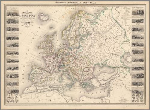
E98 - Pl. 2. Nouvelle carte illustree de l'Europe
8
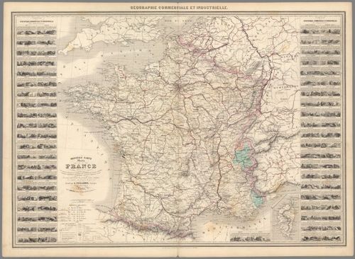
E98 - Pl. 3. Nouvelle carte illustree de la France
9
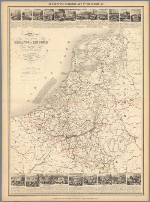
E98 - Pl. 4. Nouvelle Carte Illustrée des Royaumes de Hollande et the Belgique
10
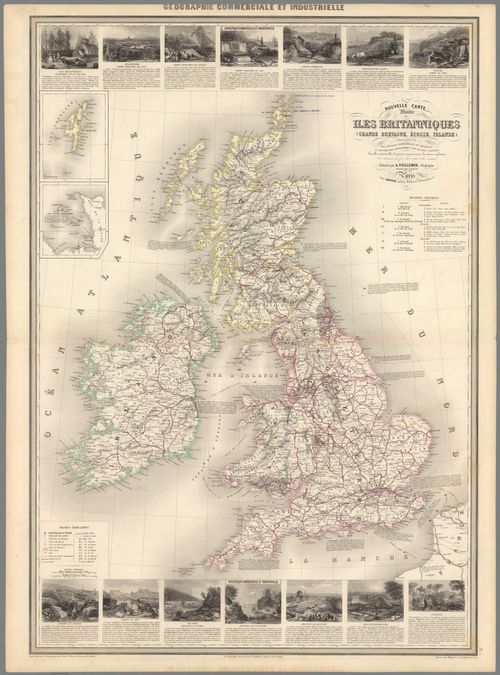
E98 - Pl. 5. Nouvelle Carte Illustree des Isles Britanniques
11
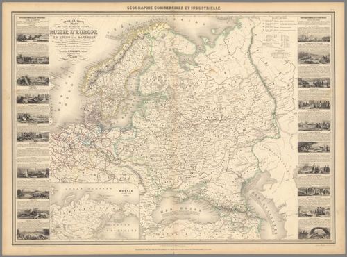
E98 - Pl. 6. Nouvelle Carte Illustree des etats de Nord de l'Europe donnant la Russie d'Europe
12
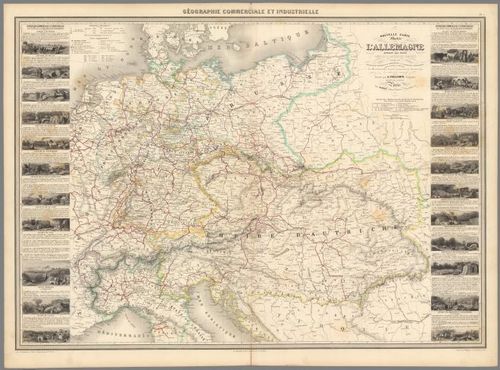
E98 - Pl. 7. Nouvelle Carte Illustree de l'Allemagne
13
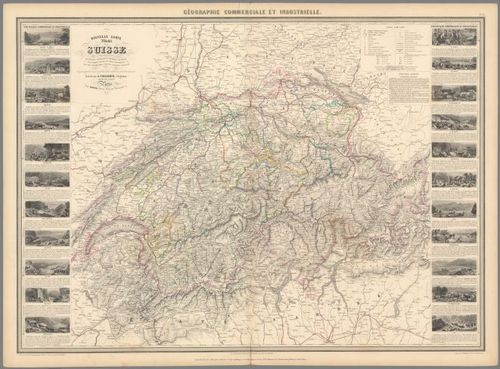
E98 - Pl. 8. Nouvelle Carte Illustree de la Suisse
14
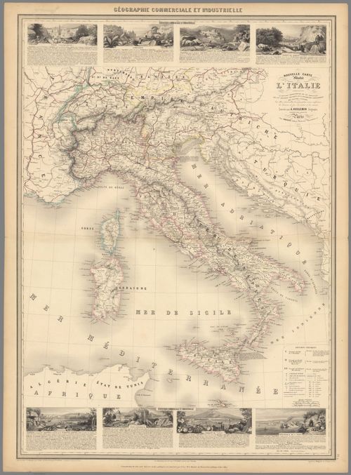
E98 - Pl. 9. Nouvelle Carte Illustree de l'Italie
15
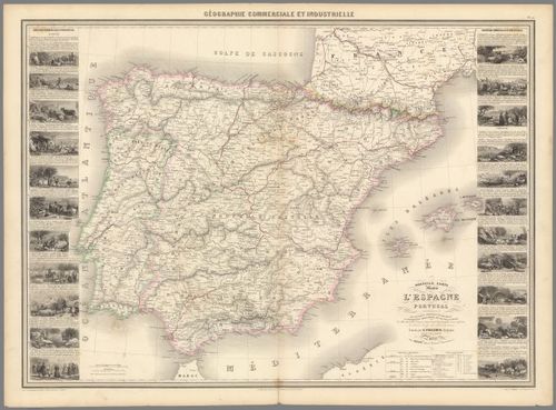
E98 - Pl. 10. Nouvelle Carte Illustree de L'Espagne et de Portugal
16
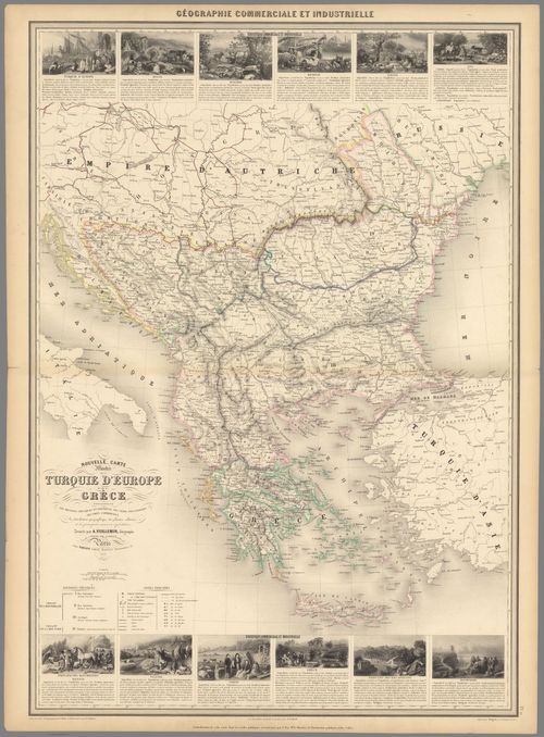
E98 - Pl. 11. Nouvelle Carte Illustree de la de la Turquie d'Europe et de la Grece
17
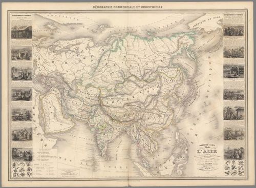
E98 - Pl. 12. Nouvelle Carte Illustree de l'Asie
18
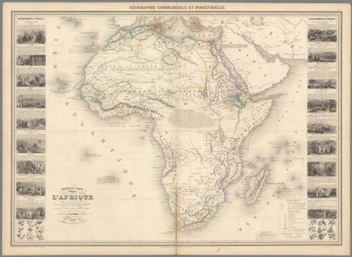
E98 - Pl. 13. Nouvelle Carte Illustree de l'Afrique
19
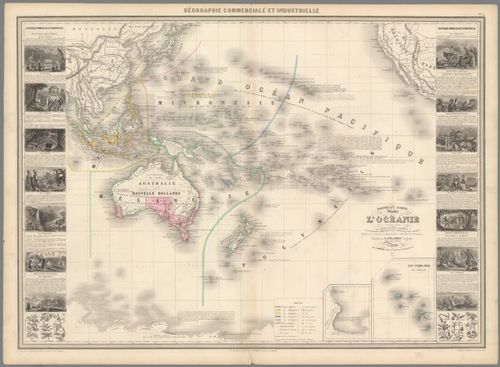
E98 - Pl. 14. Nouvelle carte illustree de l'Oceanie
Place a DOT on the image