

Member Favorite Maps - California Map Society (CMS)
Step 0 of 0
1
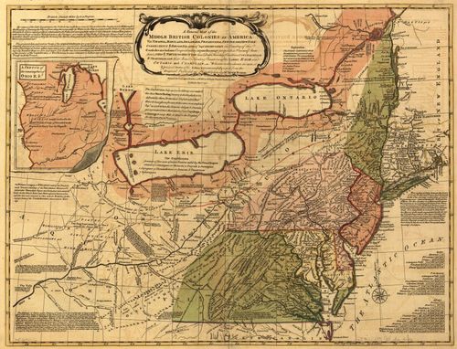
A Map of the Middle British Colonies in America - Ken Habeeb
2
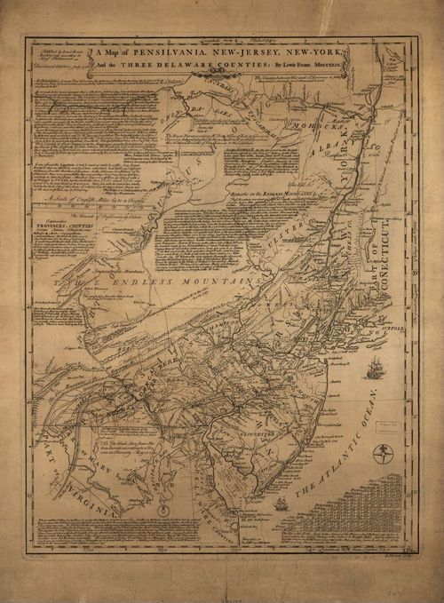
A Map of Pennsylvania, New-Jersey, New-York, and the Three Delaware Counties - from Ken Habeeb
3
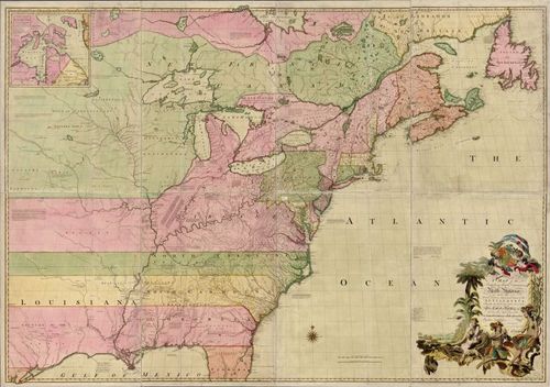
A Map of the British and French Dominions in North America - from Ken Habeeb
4
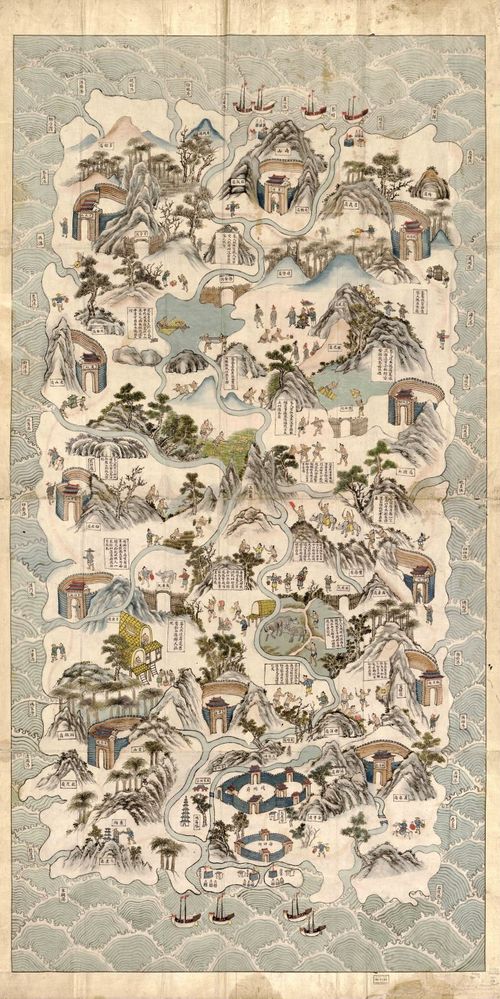
Qiong Jun di yu quan tu (Hainan Island) - 1836 - from Linda Rui Feng
5
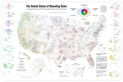
The United States of Blooming Risks - Dan Scollon
6
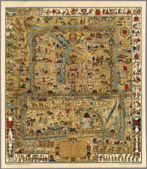
Frank Dorn’s Map of Peiping (Beijing) - Edward Lanfranco
7
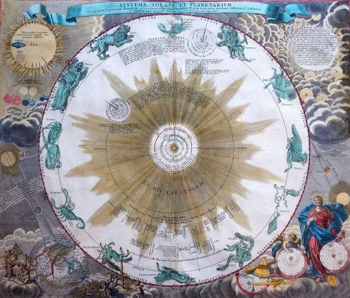
Systema Solare et Planetarium - Nick Kanas
8
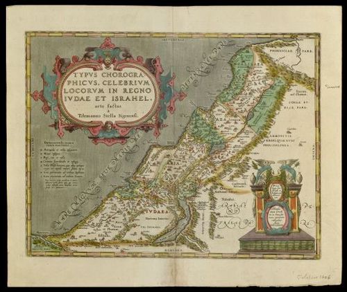
Typus Chorographicus - Leonard Rothman, MD
9
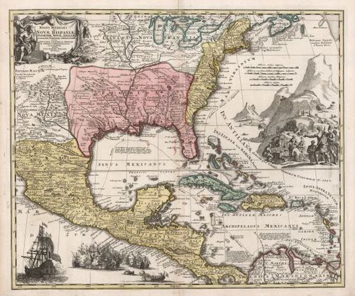
Regni Mexicani seu Nova Hispaniae - Thomas Sander
10
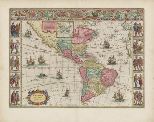
Americae Nova Tabula - Richard Breiman
11

Jo Mora's Yosemite Pictorial Carte - Peter Hiller
12
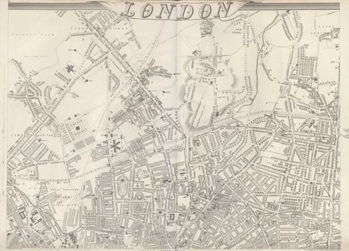
Shows part of north London in 1863 - Stephen Johnson
13
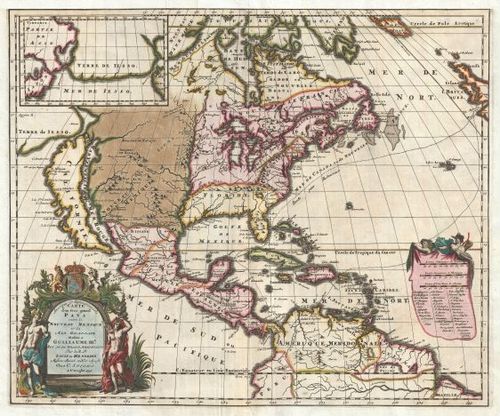
Louis Hennepin's Map of North America - Thomas Worth
14
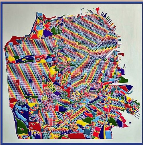
Miriam Sweeney's Pride of San Francisco Map - David Kageyama
15
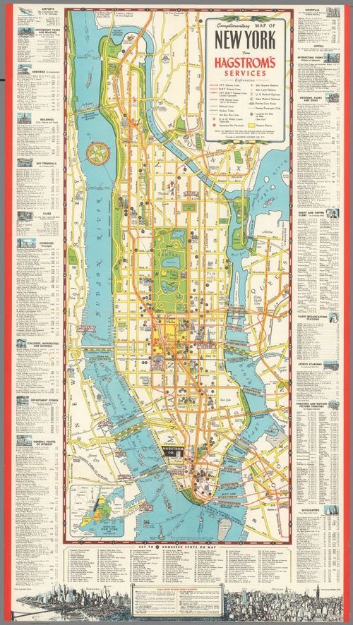
Complimentary map of New York from Hagstrom Services - 1946 - Jack Gerwe
16
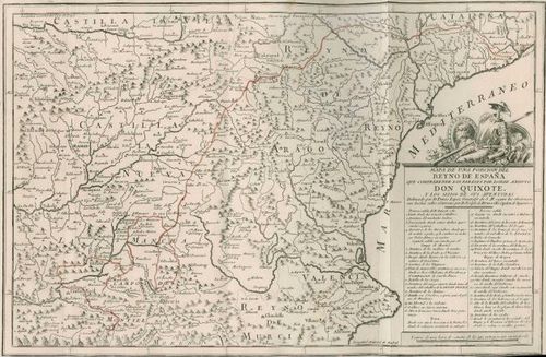
Mapa de una Porcion del Reyno de España que Comprehende los Parages por Donde Anduvo Don Quixote y los Sitios de sus Aventuras - Steve Hanon
17
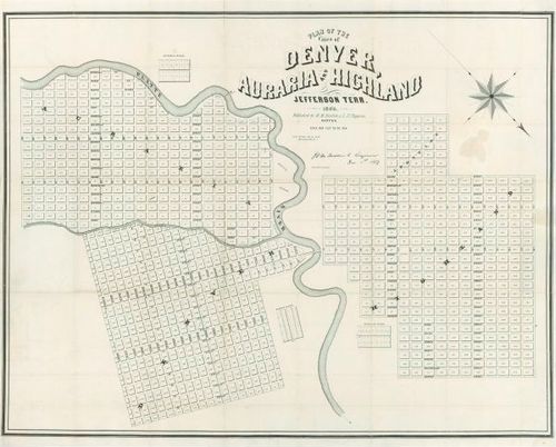
The first printed map of Denver - Wes Brown
18
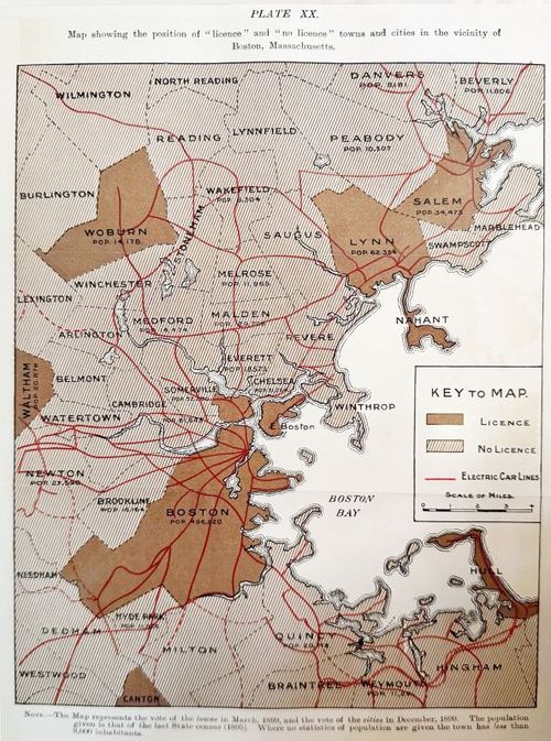
Temperance Problem and Social Reform Map - Boston 1900 - Kris Butler
19
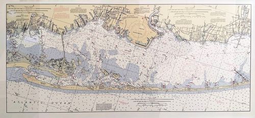
Fire Island – NOAA Nautical Chart - Larry Lusk
Place a DOT on the image