

The American South in the 19th Century
Step 0 of 0
1
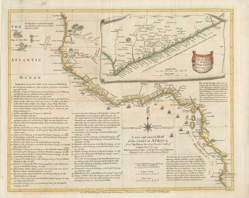
E68 - Coast of Africa Map - 1755
2
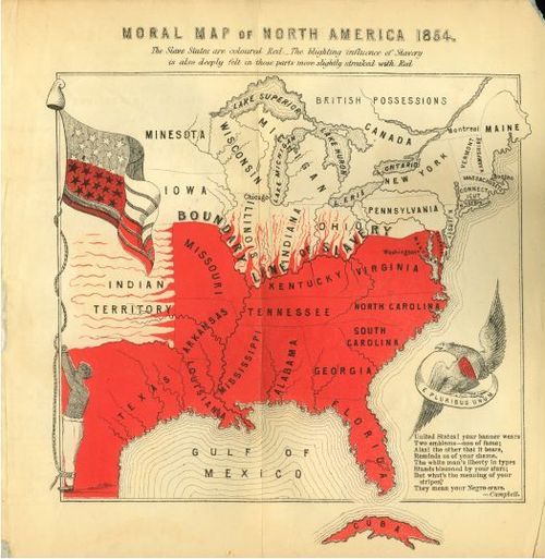
E68 - Moral Map of North America USA - 1854
3
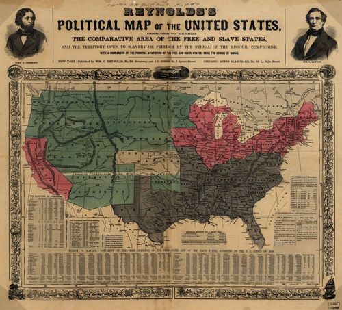
E68 - Reynolds Political Map of the United States - 1856
4
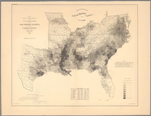
E68 - Map Showing The Distribution Of The Slave Population Of The Southern States - 1861
5
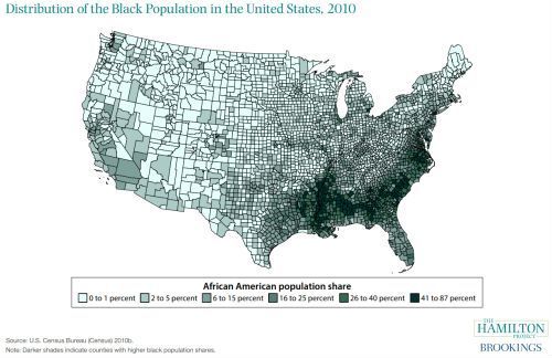
E68 - Blacks as Percent of Total Population 2010
6
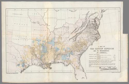
E68 - A Map of the Cotton Kingdom and Its Dependencies in America - 1861
7
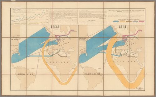
E68 - Carte figurativede coton 1858 et 1861
8
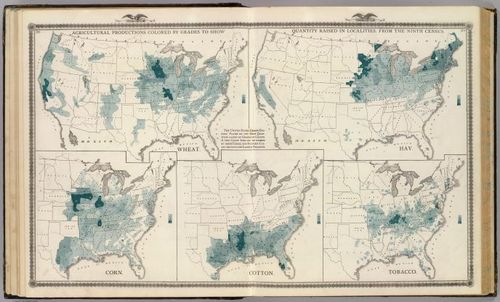
E68 - Agricultural productions colored by grades to show quantity raised in localities - 1875
9
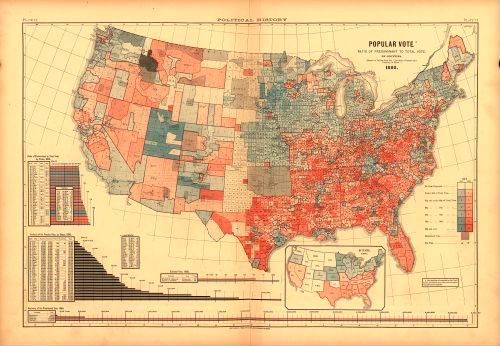
E68 - Popular Vote 1880
10
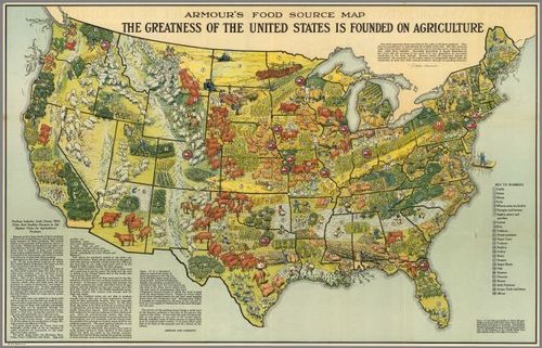
E68 - Armour s Food Source Map - 1922
Place a DOT on the image