

Various Topo Maps
Step 0 of 0
1
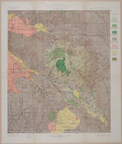
E239 - Land Classification and Density of Standing Timber, California San Jacinto Quadrangle - i1836
2
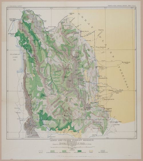
E239 - Lewis and Clark Forest Reserve Montana - 1899 - i1840
3
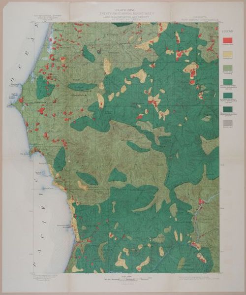
E239 - Land Classification and Density of Standing Timber, Oregon Port Orford Quadrangle - i1842
4
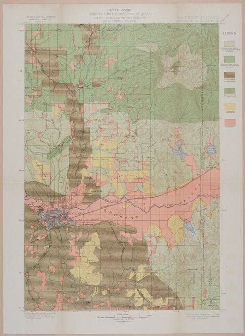
E239 - Land Classification and Density of Standing Timber, Washington - Idaho Spokane Quadrangle -i1844
5
E239 - Land Classification and Density of Standing Timber, California Pyramid Peak Quadrangle - i1846
6
E239 - Land Classification and Density of Standing Timber, Wyoming - South Dakota Newcastle Quadrangle - i1848
7
E239 - Land Classification and Density of Standing Timber, California - Nevada Markleeville Quadrangle - i1850
Place a DOT on the image