The Paper Bigelow Art Collection
Step 0 of 0
1

2

3

4

5

6

7

8

9

10

11

12

13

14

15

16

17

18

19

20

21

22

23

24

25

26

27

28

29

30

31

32

33
![[ 2025-08-24 15:21:31 ]](https://pxpbstrg.s3.us-west-1.amazonaws.com/images/thumbs/1756048961.jpg)
34
![[ 2025-08-24 15:22:45 ]](https://pxpbstrg.s3.us-west-1.amazonaws.com/images/thumbs/1756049009.jpg)
35
![[ 2025-08-24 15:23:32 ]](https://pxpbstrg.s3.us-west-1.amazonaws.com/images/thumbs/1756049051.jpg)
36

37

38

39

40

41

42

43

44

45

46

47

48

49

50

51

52

53

54

55

56

57

58

59

60

61

62

63

64

65

66

67

68

69

70

71

72

73

74

75

76

77

78

79

80

81

82

83

84

85

86

87

88

89
![[ 2025-01-02 16:25:59 ]](https://pxpbstrg.s3.us-west-1.amazonaws.com/images/thumbs/1735835267.jpg)
90

91

92

93

94

95

96

97
![[ 2025-07-24 13:46:19 ]](https://pxpbstrg.s3.us-west-1.amazonaws.com/images/thumbs/1753364850.jpg)
98
![[ 2025-07-24 13:47:58 ]](https://pxpbstrg.s3.us-west-1.amazonaws.com/images/thumbs/1753365086.jpeg)
99
![[ 2025-08-24 17:39:08 ]](https://pxpbstrg.s3.us-west-1.amazonaws.com/images/thumbs/1756057191.jpg)
100
![[ 2025-08-24 17:39:54 ]](https://pxpbstrg.s3.us-west-1.amazonaws.com/images/thumbs/1756057219.jpg)
101
102
![[ 2025-10-13 17:10:19 ]](https://pxpbstrg.s3.us-west-1.amazonaws.com/images/thumbs/1760375475.png)
103
![[ 2025-10-13 17:11:19 ]](https://pxpbstrg.s3.us-west-1.amazonaws.com/images/thumbs/1760375544.png)
104
105
106

107
108

109
110
111
112

113
114
115
116
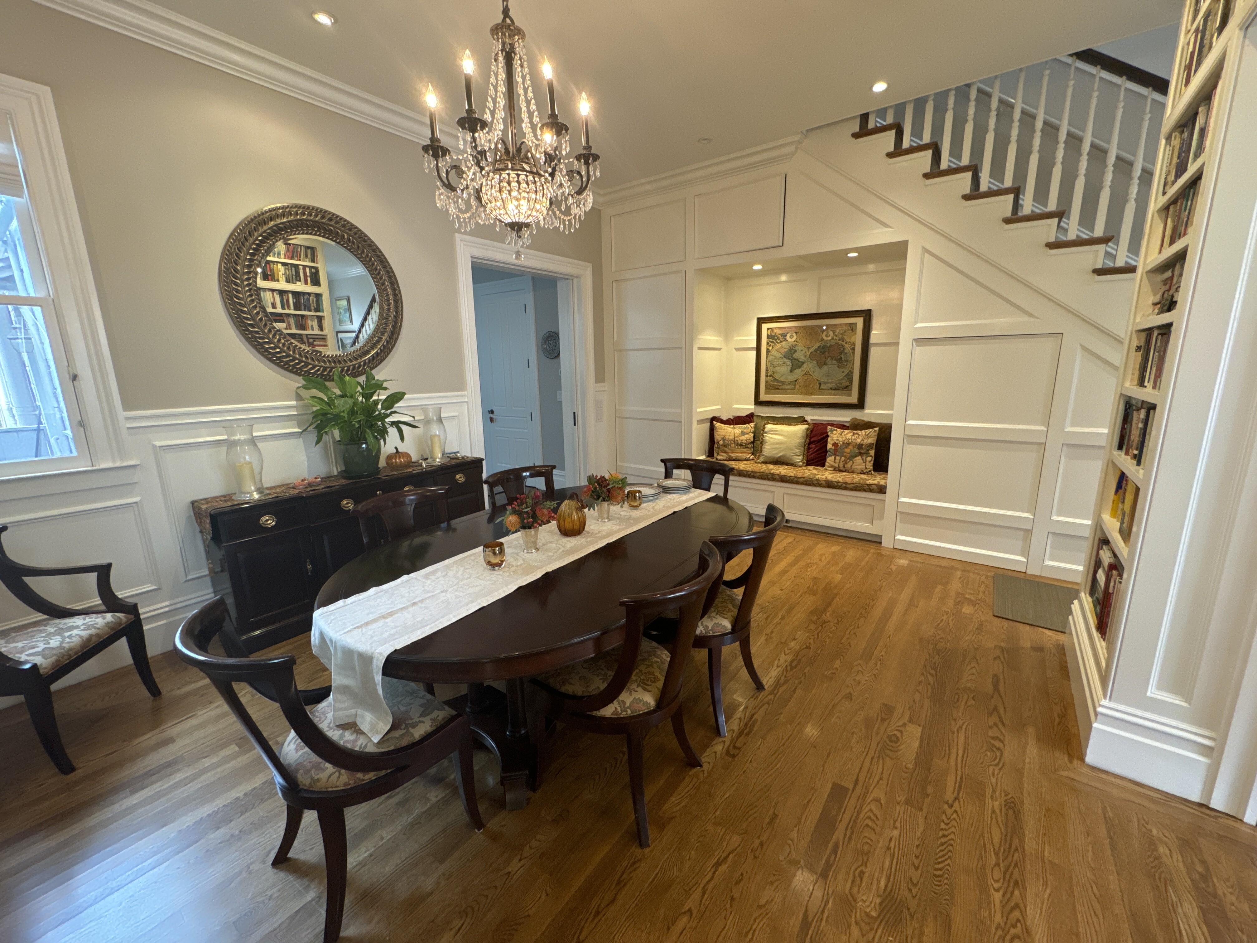
Paper-Bigelow Residence
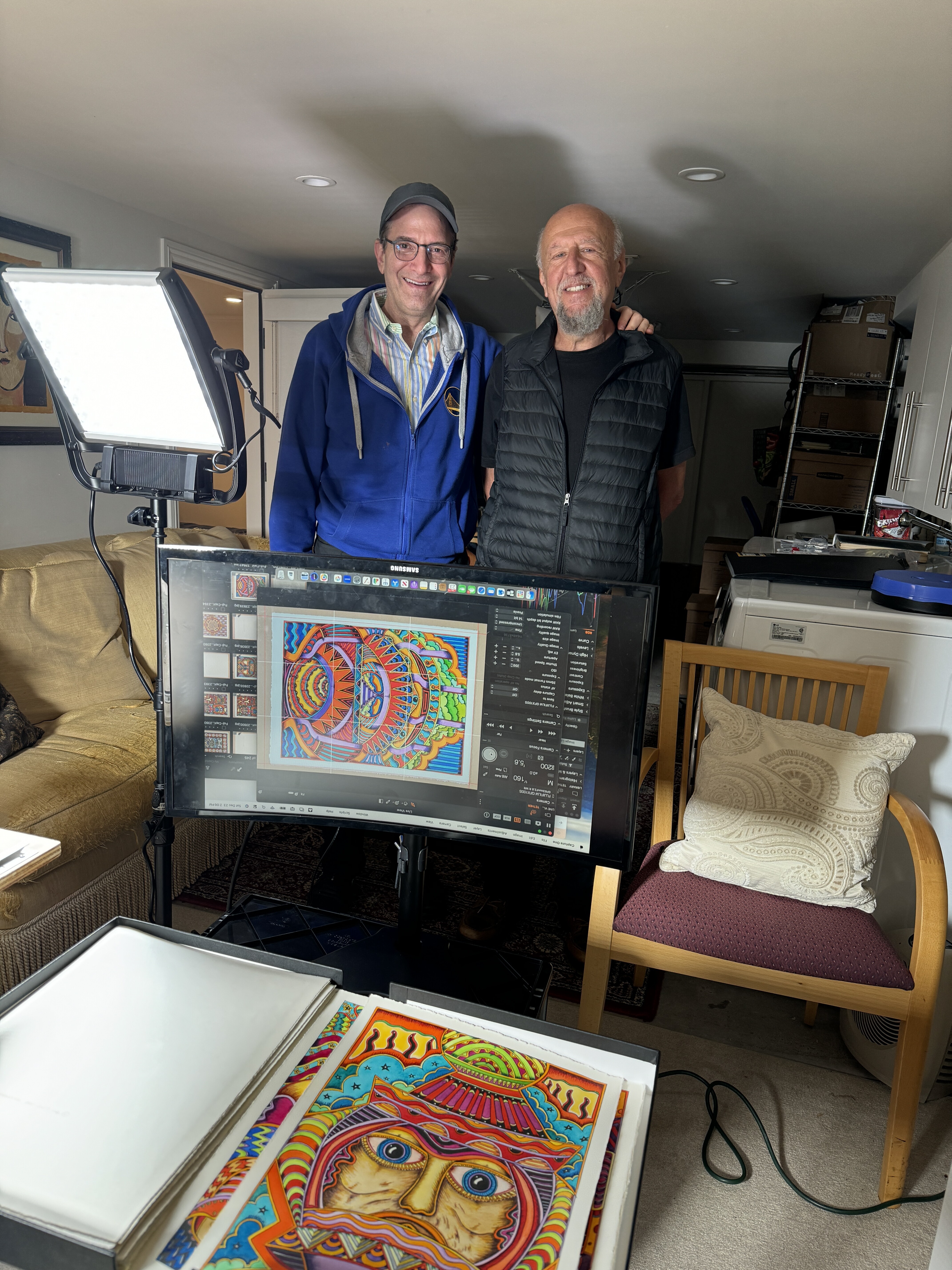
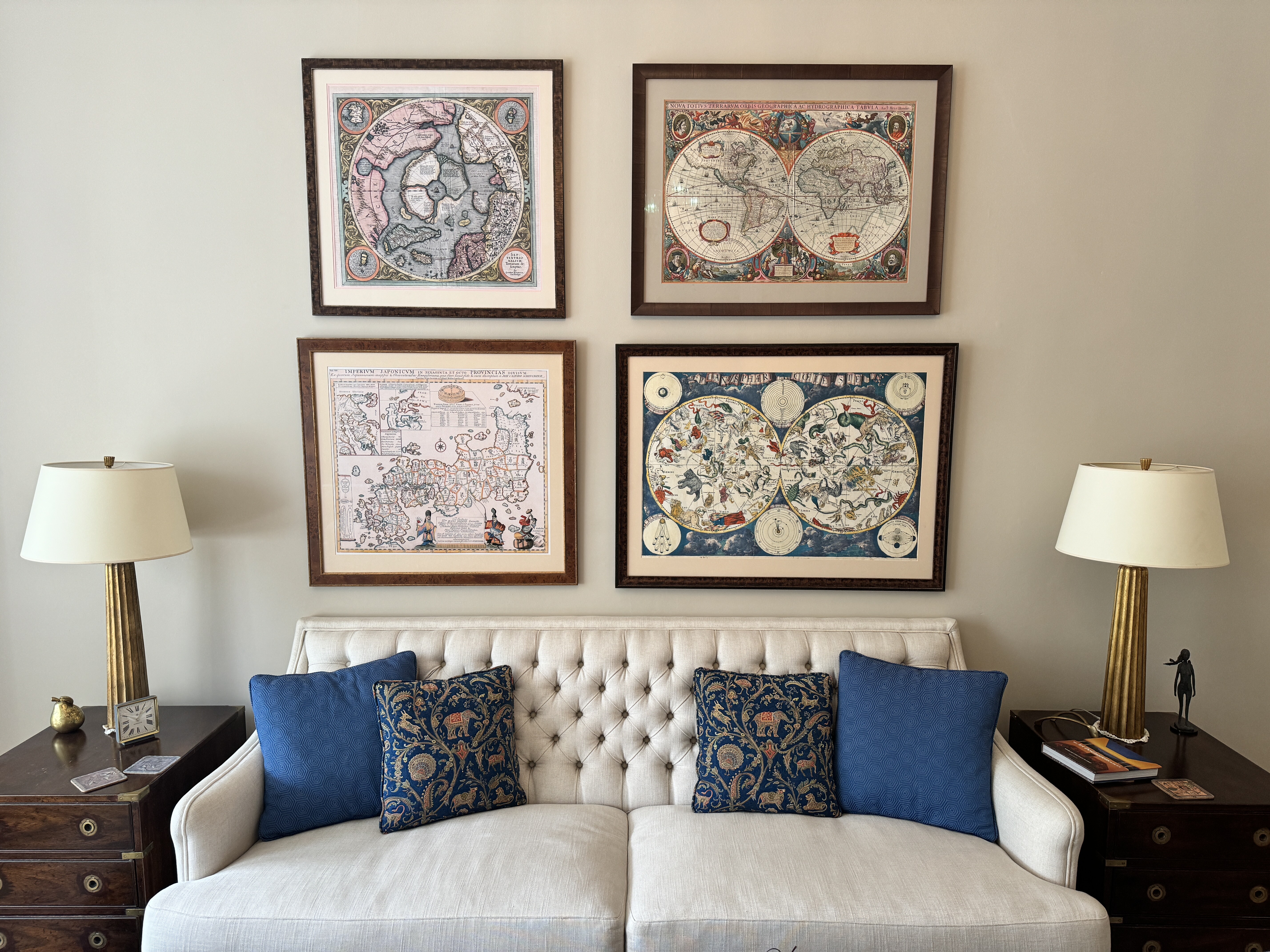
Welcome to the Paper-Bigelow art collection. This is an example of how Pixeum can help a collector to share the stories of their collection. And in this sequence, I’m going to share just a few of the items in our collection. Eleanor and I love art and maps, but, more than that, we love the artists who created these works. We love their stories and their inspiration. And we especially love the story of how we came to purchase each piece and how each piece inspires us.
Tom Paper
tom@pixeum.org
1st Floor of Paper - Bigelow Residence
Entry - 1st Floor - Paper-Bigelow Residence
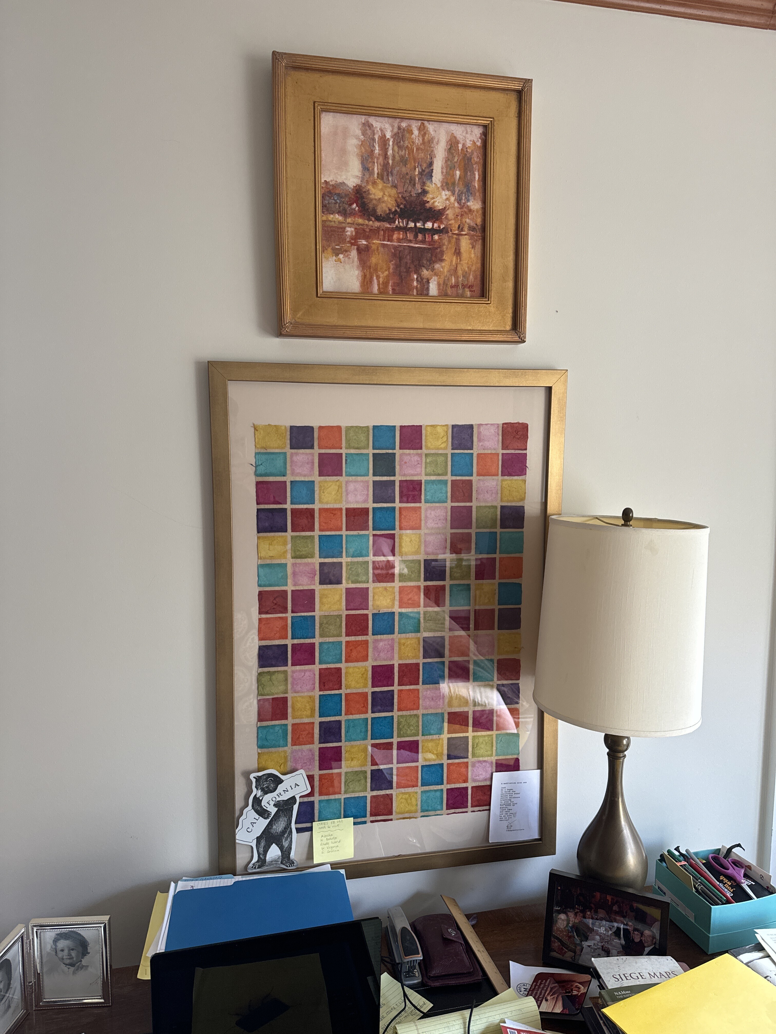
Flax Sheet - Eleanor Bigelow - date unknown
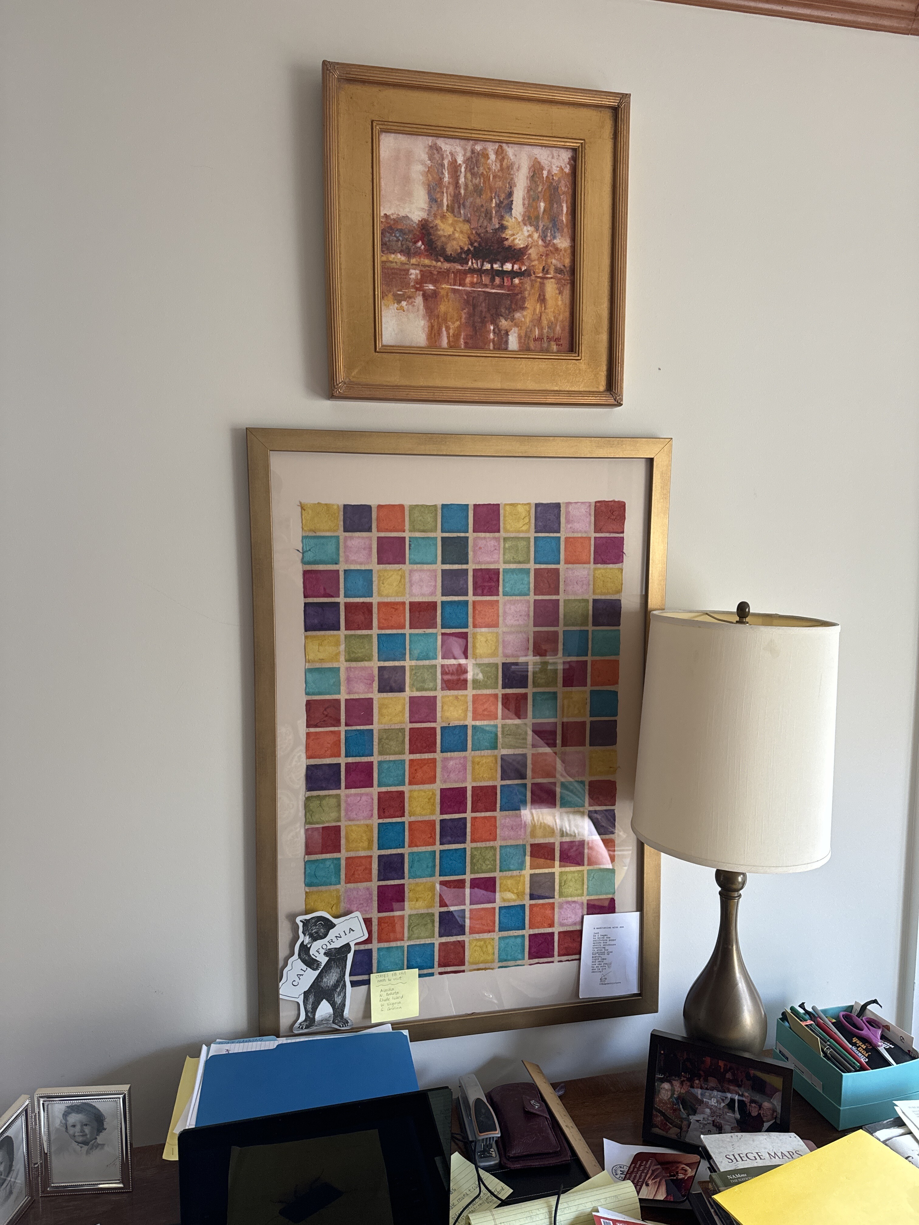
The dirty little secret about this piece is that it’s a piece of paper that Eleanor bought for about $50 from the art store called Flax and had framed.
A theme as you may have guessed in our collection is that doesn’t have to be expensive and can even be found in certain situations. This is a found situation. bought this sheet from flax and was so taken by it that she decided to have it framed. More than one of our friends have seen this piece and asked us about who the artist was and we giggled and telling them that we bought it for three dollars at an art supply store. Artwork by Eleanor from a sheet bought at Flax.

00:00
Okay. So you went to flax, right? Yes. It's from Flax Art Supply, and it's, it's handmade paper.
00:10
Did you cut it? No, they cut it. That's the way they sell them.
00:15
And sheet, I know. But it's not a perfect cut on the right side, correct?
00:19
And did you cut it that way? They go, that's the way it was made.
00:23
Because it's handmade. It's imperfect. Oh, so that was a sheet.
00:27
You bought it as a sheet. I bought, it wasn't put And so that's the way the sheet was.
00:31
And I did notice that it's hanging out in portrait mode on your So there is no, necessarily, I'm curious.
00:40
Did the left side go on the bottom upstairs or the right side?
00:45
Okay.
Venice - Jann Pollard - 1995
Venice by the artist Jann Pollard, a Bigelow family friend who originally was a neighbor on Parrott drive. Jann is also an art teacher and one of her students over the years has been Eleanor’s sister, Megan Bigelow. We own several of Jann’s pieces and appreciate their colorful and tranquil beauty.
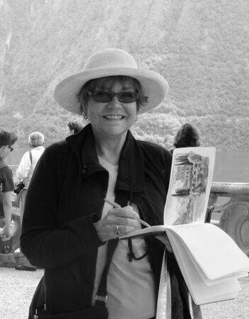
Jann Pollard is a Bigelow family friend who originally was a neighbor of the Bigelow family on Parrott drive. Jann is an artist and an art teacher. Megan Bigelow has taken several of Jann’s classes, including a few taught in France. We own several of her pieces, which we find beautiful and calming and often take us to another place we love.
Jann Pollard artist link here.
Eleanor met Jann Pollard in San Mateo, CA, in the 1970's when Jann and her family moved across the street. This piece is titled "Venice Textures." The original was painted in watercolor. Jann published 95 archival limited edition IRIS giclee prints on Arches Cold Press paper. Each print was inspected and signed by Jann. This is print number 37/95.
I left my hearts in San Francisco - by Miriam Sweeney
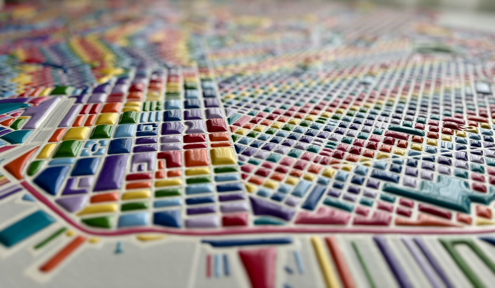
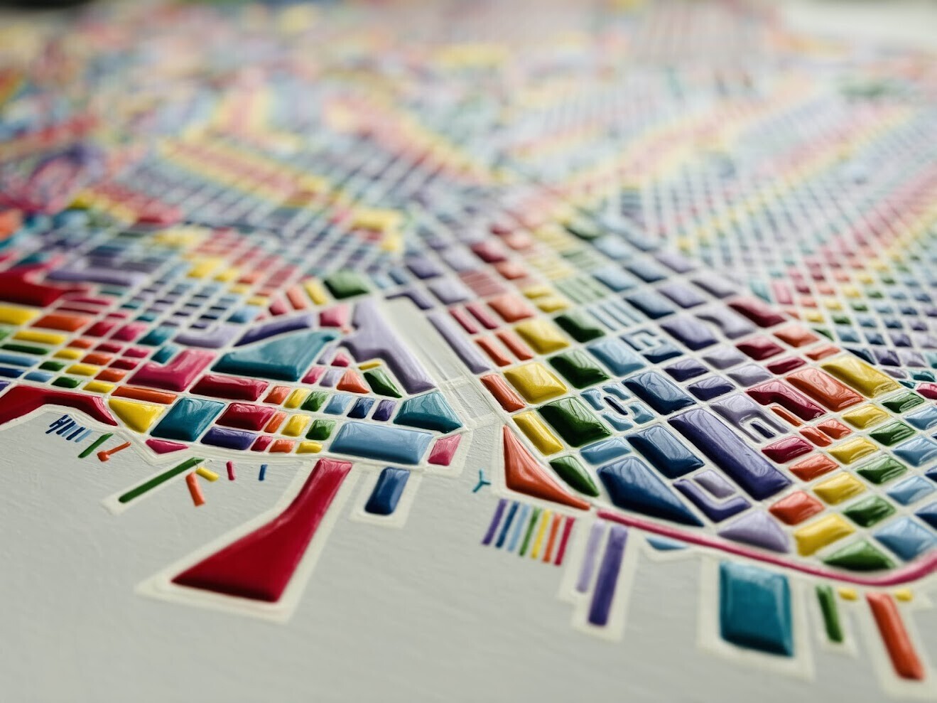
When we first saw this piece at an Artspan show at the JCC, the artist Miriam Sweeney, encouraged us to touch it and run our hands over it. We encourage you to do the same and also to find the seven hearts.
This piece by Miriam Sweeney has become a centerpiece of our collection. It’s one of the first things you see upon entering our house. It’s a map, so we love it for that reason alone, but it’s also a piece of art that is fun, colorful, tactile, and evocative of all the places in San Francisco that we love. The map literally has seven hearts on it that Miriam made to encourage viewers to find.
See Miriam’s exhibit on Pixeum here.

June 2024 - Eleanor and I bought this piece at an art span event at the JCC a couple months ago. We are delighted by how colorful it is and how it reminds us of our home and that we love it so much. Seven hearts in a bit of a treasure hunt are on this map which we encourage people to touch. Miriam encourage us to touch it so we will encourage our guests to our home to touch it as well.
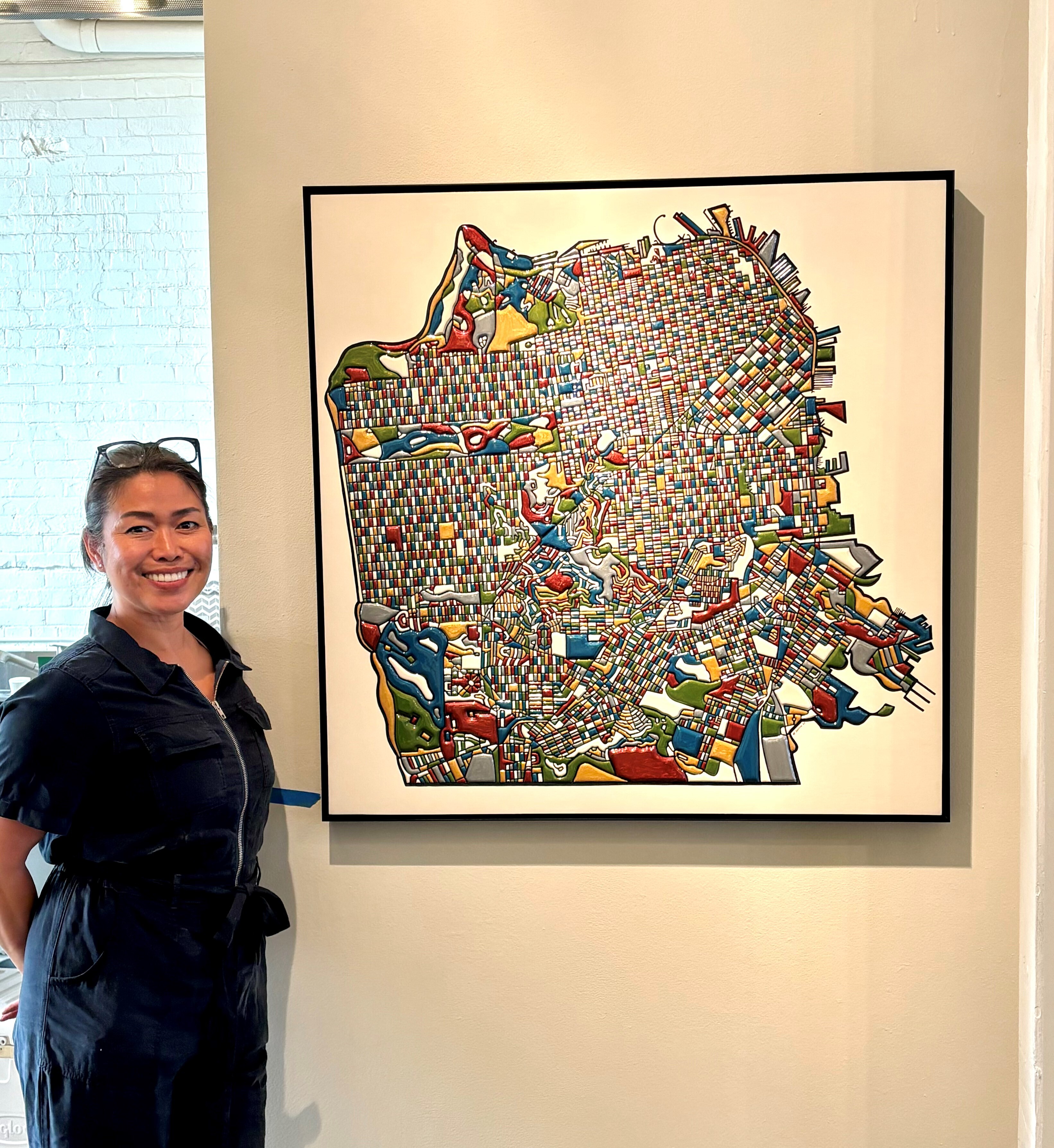
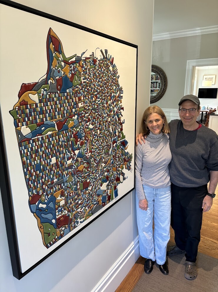
Below: Tom and Eleanor with Matt McKinley of McKinley Art Solutions.


[ 2024-06-18 20:08:44 ]
Living Room - 1st Floor - Paper-Bigelow Residence
San Francisco Bay Area - 1797 - La Perousse
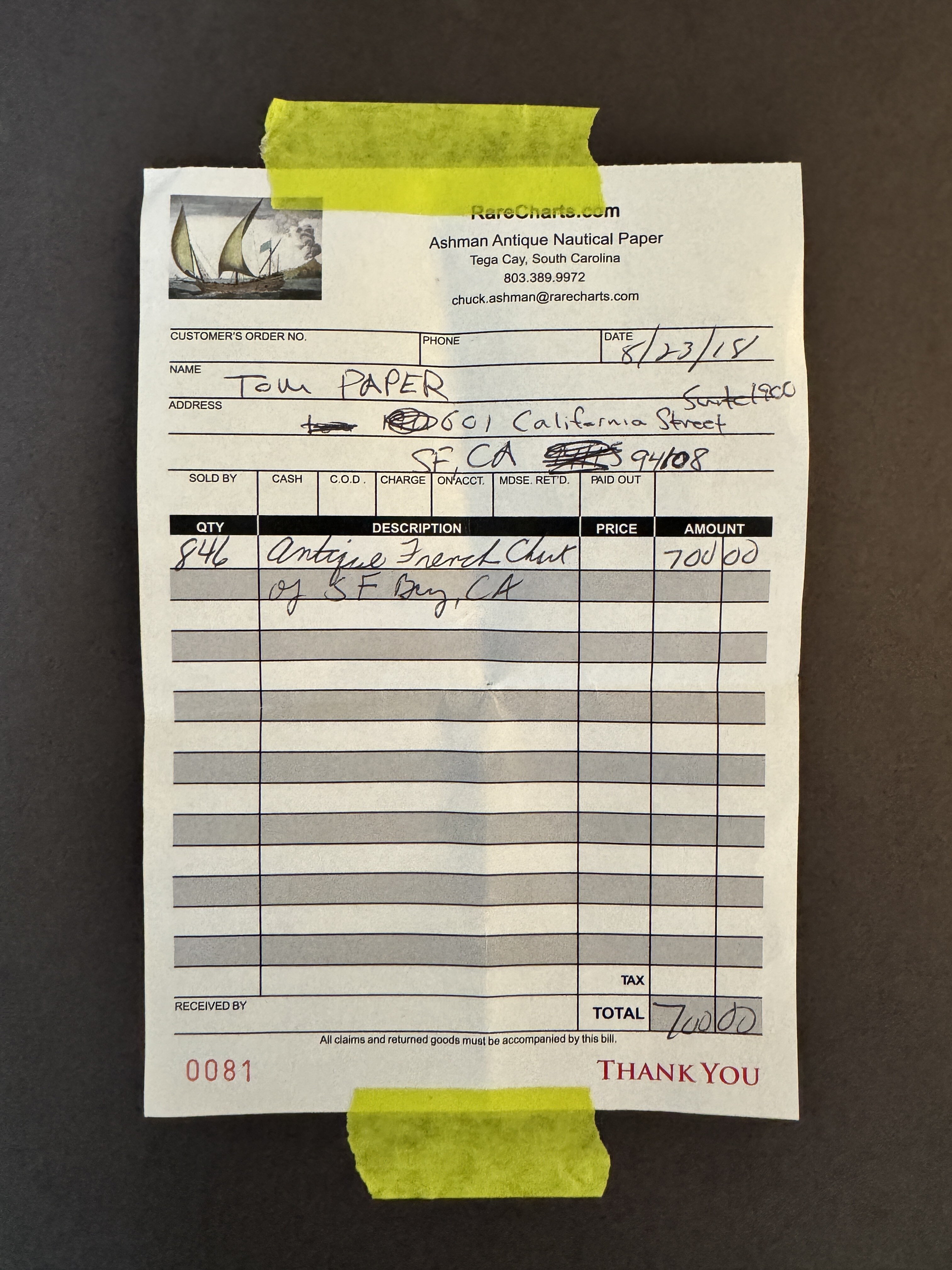
One of my first maps purchased and one of my all-time favorites. My friend and map dealer Jim Schein calls it "The map of the seven rabbits." A 1797 map by La Perousse, leader of a French expedition that stopped in the Bay Area. This map opened my eyes to maps as a gateway for better understanding of history, science and art.

Purchased by Tom Paper at the SF Map Fair, 2018.
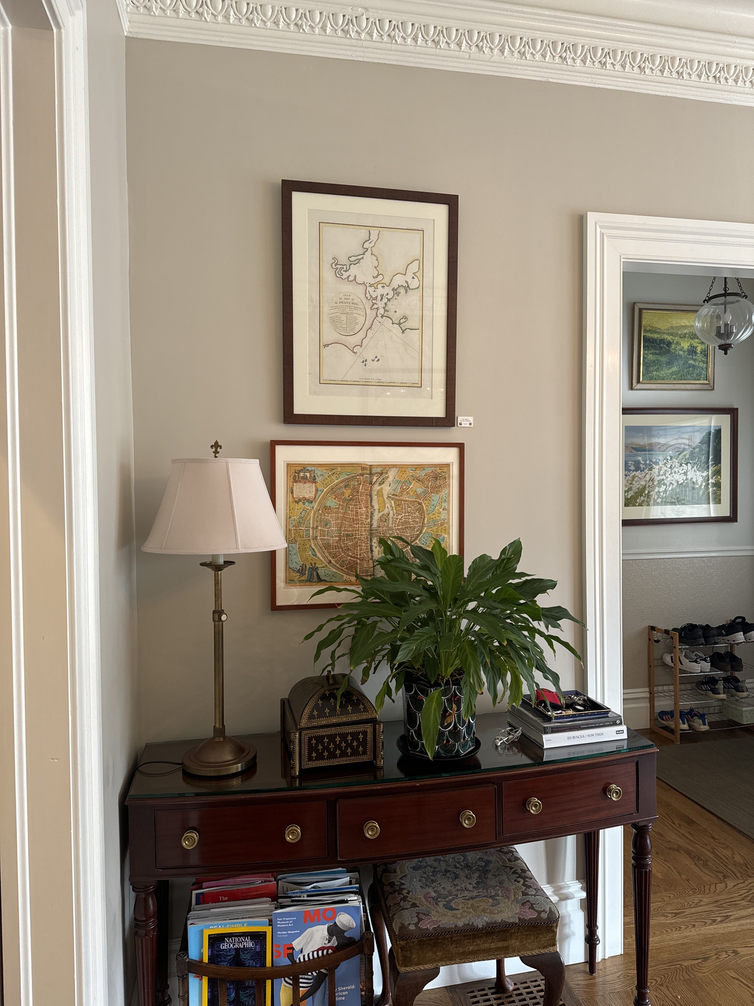
“This is the earliest obtainable map of San Francisco Bay. The map may seem a little hard to decipher by modern standards. It is oriented to the Northeast, the peninsula emerging from the right is the location of the modern urban center of modern Francisco, with the Golden Gate being the tiny entrance into he larger bay. The general form of San Pablo Bay, which leads into Suisun Bay is evident at the top of the map. The greater part of San Francisco Bay, extending towards the right side of the map is significantly truncated. The map identifies 21 place names, including Alcatraz, the Presidio, Merced, the Mission of San Francisco, and other landmarks, alphanumerically via a table integrated into the title cartouche...La Perouse did not personally survey the Bay, instead he most likely obtained the data for this map from the Spanish pilot Francisco Antonio Mourelle de la Rúa (1750-1820) in Manilla...La Perouse died tragically on a shipwreck near the Solomon Islands. His journals were shipped back to Europe from Australia before the shipwreck and posthumously published in 1797, along with an accompanying atlas volume, from which this map was drawn, Atlas du voyage de La Perouse.” geographicus.com
Cram's San Francisco - 1898
This map shows the plans for San Francisco in 1898 (the plats or prospective streets). Reality was quite different, especially in the Sunset and Golden Gate Park, where everything was sand. Even in the 1927 and 1937, dunes remained throughout much of the Sunset.
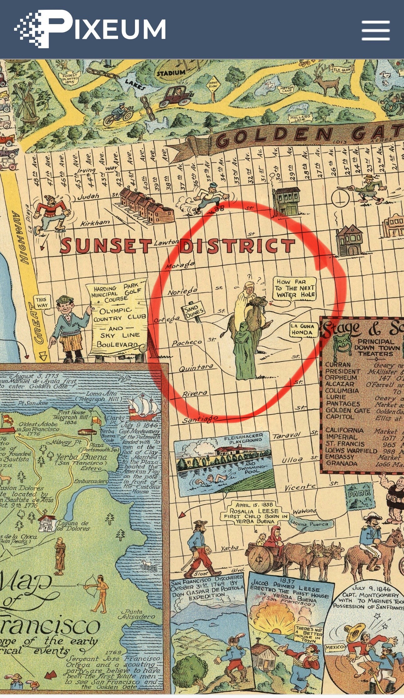

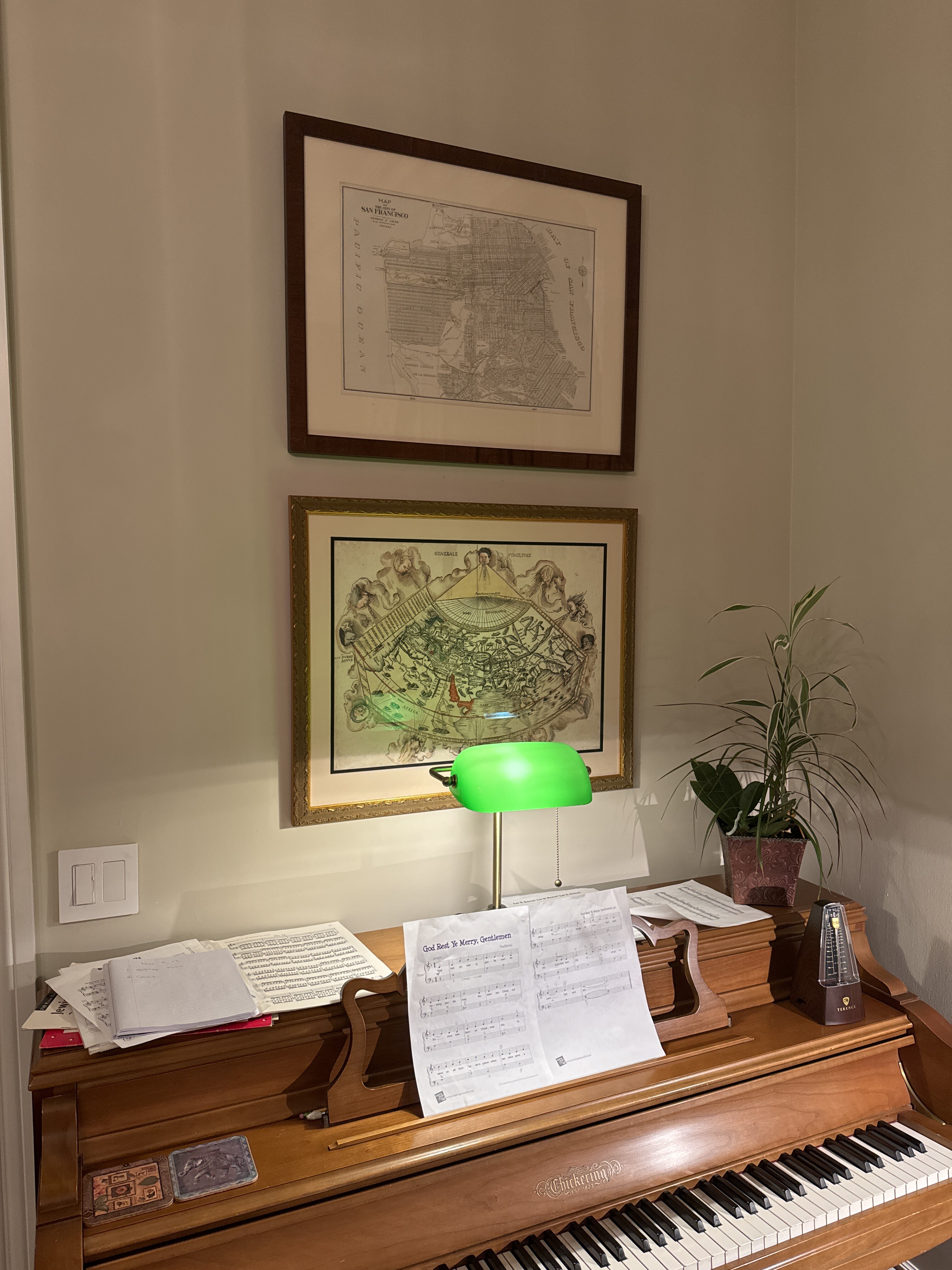
One of our earlier purchases. A very basic platted map. Shows streets as if they were developed. Truth was that at the time of this map, the Sunset was sand dunes and Golden Gate Park did not exist.
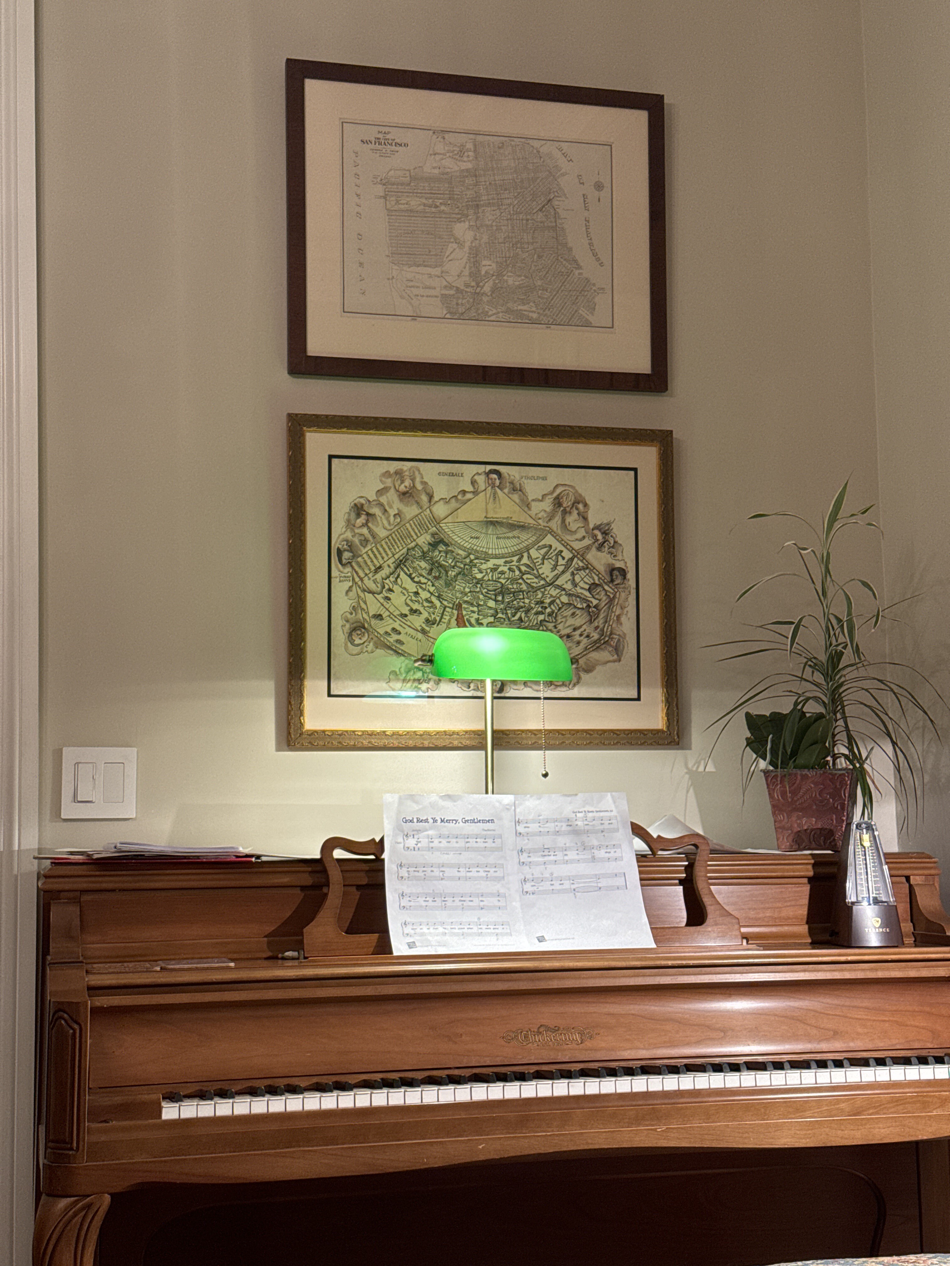
The World - Martin Waldseemueller - 1513
1513 map of the world using knowledge from Ptolemy, who had passed away 1300 years prior! This embodies the renaissance. I love the anemoi or Greek/Roman wind gods around the edges, as well as the Red Sea.
From raremaps.com: Striking example of Waldseemüller's Ptolemaic world map, from the important 1513 Strasbourg edition of Ptolemy's Geographia. In his landmark catalog of world maps, Rodney Shirley called this map "one of the most attractive Ptolemaic maps ever produced” (Shirley, map 34). The Strasbourg edition is widely considered the most important edition of Ptolemy's Geographia. The whirling wings surround the world as it was known to Ptolemy, the oikumene. The basic cartography of the map follows Ptolemy, although Waldseemüller does open up the Indian Ocean in the East and also eliminates the land to the south of the Indian Ocean which appeared in earlier maps. There is a very early use of longitude and latitude lines, along with notes on the climates in the left margin beyond the map. Waldseemüller likely began work on the Geographia map in ca. 1505, when he was a professor of cosmography in St.-Dié. Waldseemüller worked on the Ptolemy with Matthias Ringmann, who collated the texts, while Waldseemüller compiled the maps. However, when their patron René II died in 1508, the St.-Dié Press closed down. Ringmann died in 1511. These events stalled the project and it was only in 1513 that the Ptolemy appeared, printed by Waldseemüller’s friend Johann Schott. Raremaps.com
From Perplexity: The Anemoi were the ancient Greek gods of the winds, each associated with a cardinal direction, a season, and distinct weather phenomena. Born from the dawn goddess Eos and the Titan Astraeus, the four principal Anemoi were Boreas (north wind, bringer of winter), Zephyrus (west wind, bringer of gentle spring breezes), Notus (south wind, bringer of summer storms), and Eurus (east or southeast wind, often linked to autumn)127. In Roman mythology, these deities were known as the Venti, with Boreas becoming Aquilo, Zephyrus as Favonius, and Notus as Auster14.
By the Renaissance, these wind gods became popular decorative motifs on world maps, often depicted as human heads with puffed cheeks blowing wind, or as winged figures. Their names—such as Septentrio (north), Aquilo (north-northeast), and Favonius (west)—were used to label the compass directions and winds on these maps, reflecting both classical heritage and navigational utility1. This iconography drew from ancient Greek and Roman art, such as the Tower of the Winds in Athens, where each wind god was personified on the building’s friezes5. The Anemoi thus bridged mythology, meteorology, and cartography, symbolizing the enduring influence of classical antiquity on early modern European science and art15.
Citations:
- https://en.wikipedia.org/wiki/Anemoi
- https://study.com/academy/lesson/anemoi-definition-greek-mythology.html
- https://www.theoi.com/Titan/AnemosBoreas.html
- https://pantheon.org/articles/g/gods_of_the_winds.html
- https://www.ancient-origins.net/ancient-technology/ingenious-invention-tower-winds-001902
- https://study.com/academy/lesson/the-aurae-in-greek-mythology-zephyrus-boreas-notus-eurus.html
- https://www.theoi.com/Titan/Anemoi.html
- https://www.reddit.com/r/AskHistorians/comments/j1yebz/why_do_old_maps_have_mythical_creatures_blowing/
- https://www.pinterest.com/pin/2111131055582031/
- https://en.wikipedia.org/wiki/The_Situations_and_Names_of_Winds
Answer from Perplexity: https://www.perplexity.ai/search/write-a-200-word-history-of-th-kIyTBxwRToaGidIhXyhN_w?utm_source=copy_output
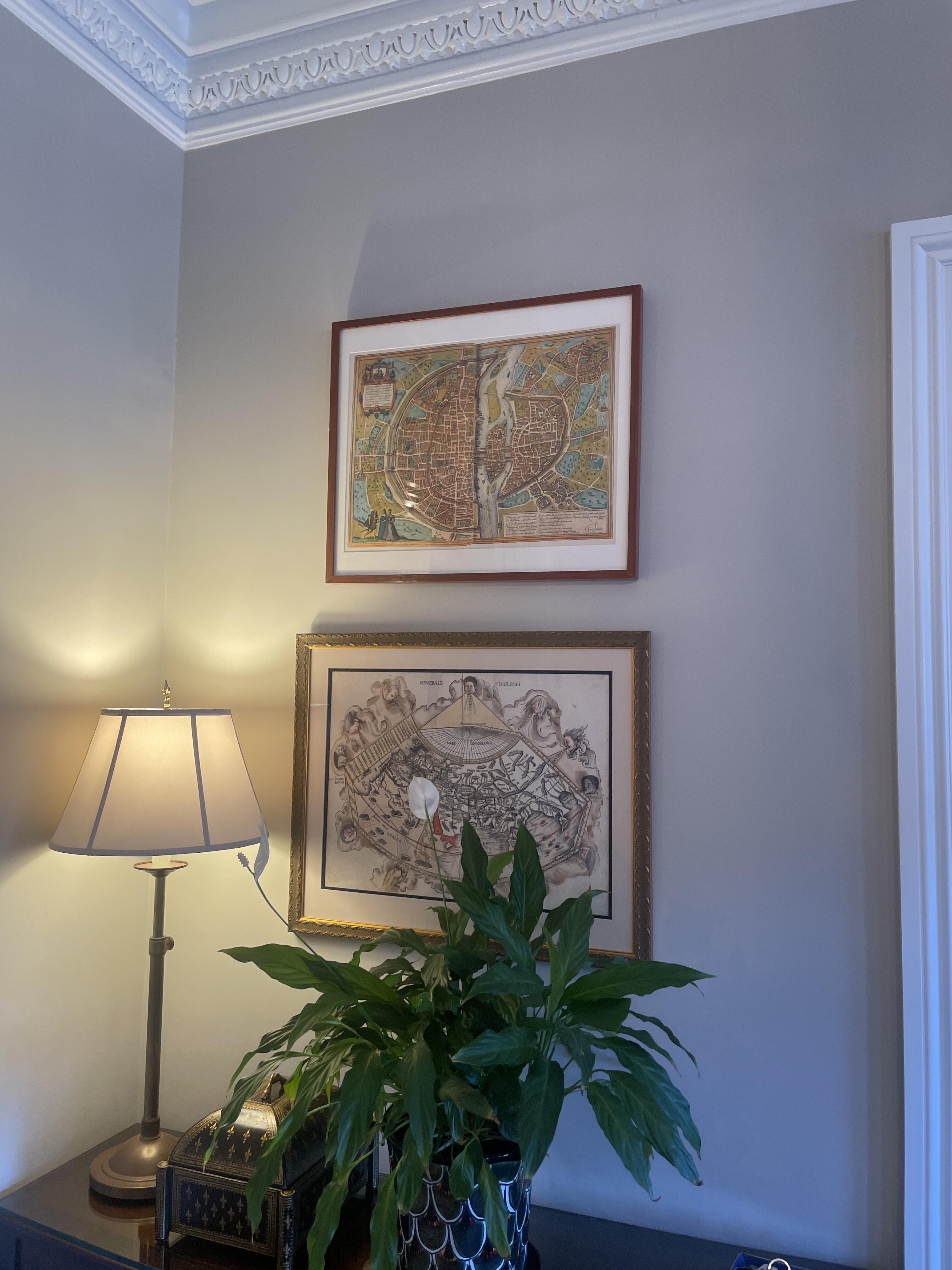
Paris - Braun & Hogenberg - 1572
davidrumsey.com | perplexity | sanderusmaps.com
A print of a super-famous map of Paris by Braun and Hogenberg in 1572. Eleanor bought this framed map at a thrift sale.
Psalter Map - artist unknown - 1265
perplexity |
From the late 13th century, this is the Psalter Map, because it was found a Psalter, which is book of psalms. This map is called a mappa mundi, which historian Felicitas Schmieder refers to as "Geographies of Salvation" as they report the narrative of Christ's interaction with our world. The map includes Jerusalem, the Garden of Eden, the Red Sea, the Dead Sea, Gog and Magog, as well as a section of monstrous races.
The Psalter Map is a one of the most famous examples of a midieval mappa mundi. It was likely part of a psalm or prayer book. I love it because it is only marginally geographic and instead speaks to symbols of faith and fear. It has Jerusalem in the center and the Garden of Eden. It also a section on the right of fantastic beasts from other lands.
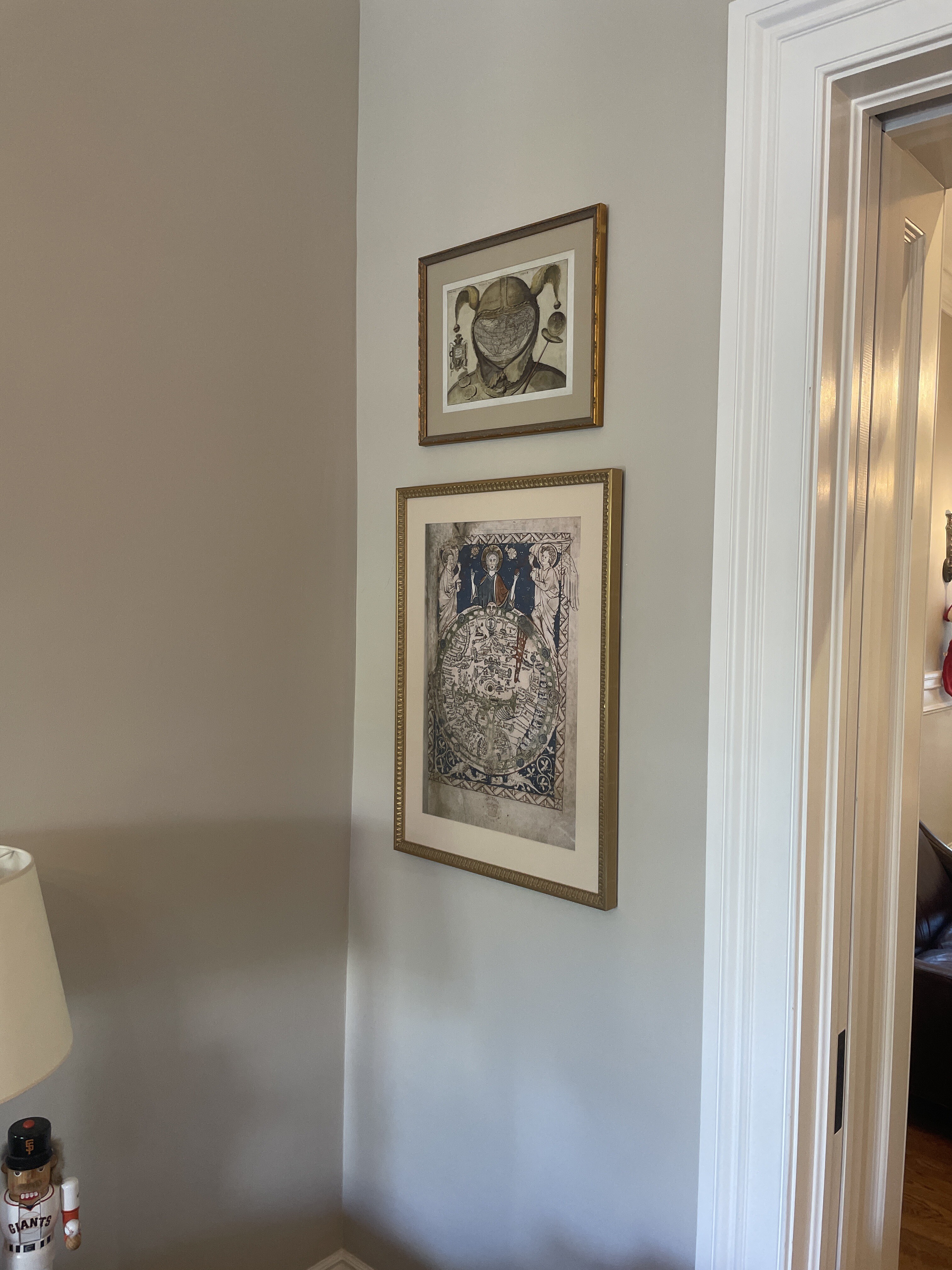
“The Psalter map is an English map from the thirteenth century that includes much information within it's small area Like many medieval maps, this world map subjectively presents Jerusalem, as enlarged and at the center, as Jesus overlooks the world. The map also contains many indicators of the materiality of the Middle Ages, including buildings, boats, "monstrous" human races (along the right-hand side) and the wind. Thus, the map acts as a record of how people experienced the world during this time period.” History Fine Prints (on etsy)
“Psalter World Map is the name historiography gave to a medieval world map that has been found in a psalter. This mappa mundi is now conserved at the British Library in London. The small map (c. 9.5 cm or 3.7 in high) shows a lot of detail. It was written around 1260; the author is unknown. According to historian Anna-Dorothee von den Brincken, it looks like a small version of the Ebstorf Map from Northern Germany. It is a typical mappa mundi that does not only show the geographical and historical knowledge, but also puts it into the frame of salvation history. Jesus Christ appears in the East (i.e. "above"), as the maps of Christian Middle Ages have East above, not North, giving a blessing with his right hand.” wikipedia
“A psalter is a volume containing the Book of Psalms, often with other devotional material bound in as well, such as a liturgical calendar and litany of the Saints. Until the later medieval emergence of the book of hours, psalters were the books most widely owned by wealthy lay persons and were commonly used for learning to read. Many Psalters were richly illuminated and they include some of the most spectacular surviving examples of medieval book art.” wikipedia
The Fool’s Cap Map of the World - artist unknown - 1585
Created around 1585 by an unknown artist and cartographer, The Fool’s Cap Map of the World remains a mystery. The map is filled with Latin inscriptions and quotations that underscore themes of human folly, vanity, and the limitations of worldly knowledge. The jester, traditionally a figure who could mock authority, here symbolizes the world itself as a place of absurdity and irrationality, questioning the very act of mapping and the pretensions of those who claim to understand the world.
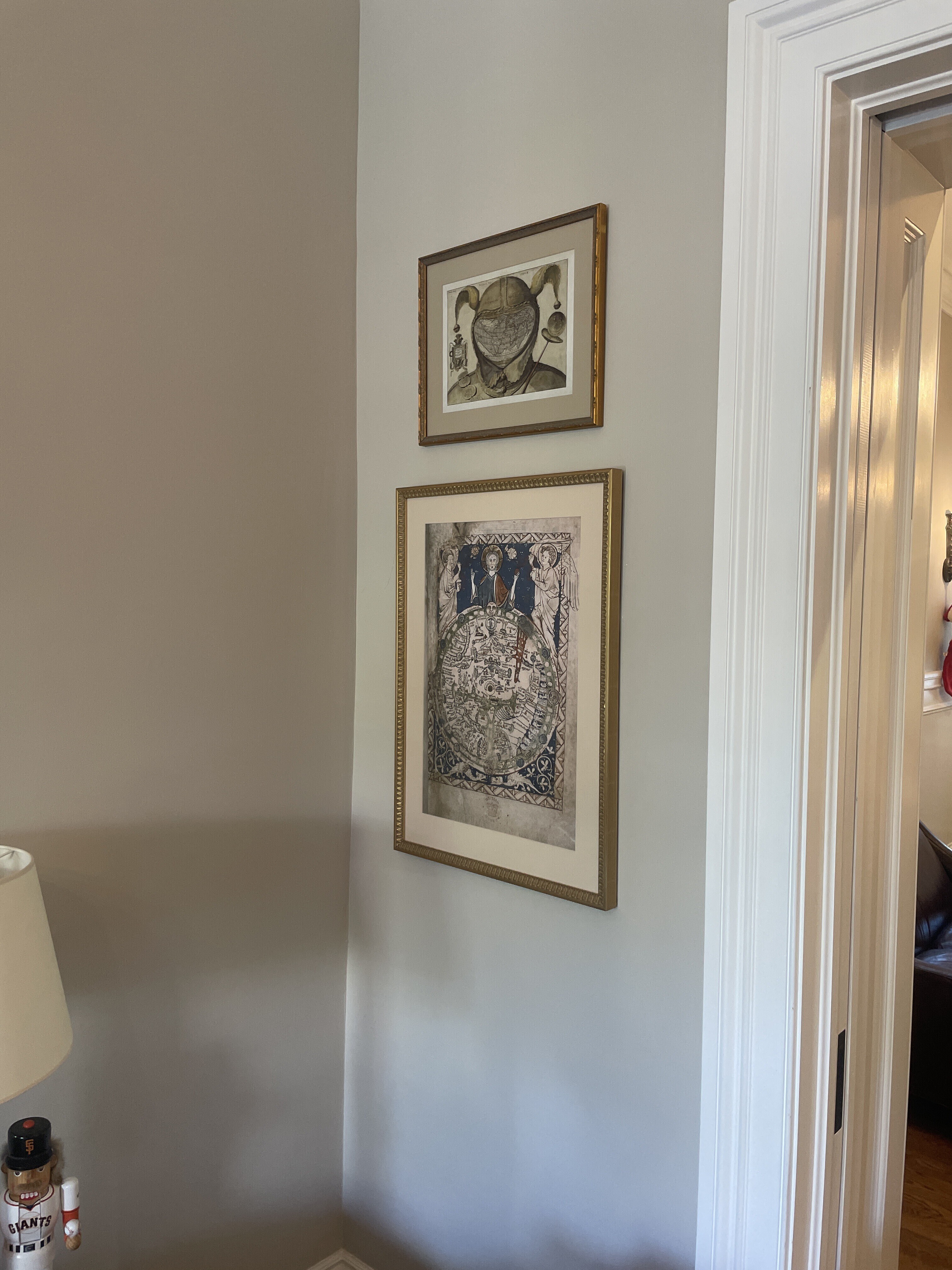
The Fool’s Cap Map of the World is a striking and enigmatic cartographic artwork created between 1580 and 1590 by an unknown artist during Europe’s Age of Discovery123. The map ingeniously overlays a heart-shaped (cordiform) world map—based on the influential works of Abraham Ortelius, Gerardus Mercator, and Oronce Finé—onto the face of a court jester, with the jester’s cap, bells, and staff completing the visual metaphor134. The map is filled with Latin inscriptions and quotations that underscore themes of human folly, vanity, and the limitations of worldly knowledge. Notable phrases include “Vanity of vanities, all is vanity” from Ecclesiastes, and references to the philosopher Cornutus: “Who doesn’t have donkey’s ears?”1239.
Scholars interpret the map as both a satirical critique of the era’s cartographic ambitions and a broader commentary on the hubris and ignorance of humanity. Some speculate it was influenced by the Familists, a Christian sect that emphasized self-reflection and global perspective19. The jester, traditionally a figure who could mock authority, here symbolizes the world itself as a place of absurdity and irrationality, questioning the very act of mapping and the pretensions of those who claim to understand the world235. The Fool’s Cap Map remains a powerful visual reminder of the limits of human knowledge and the enduring folly of pride.
Citations:
- https://en.wikipedia.org/wiki/Fool's_Cap_Map_of_the_World
- https://www.atlasobscura.com/articles/16th-century-fools-map
- https://publicdomainreview.org/collection/fools-cap-map-of-the-world/
- https://www.rmg.co.uk/collections/objects/rmgc-object-206385
- https://bigthink.com/strange-maps/480-the-fools-cap-map-of-the-world/
- https://www.replicaprints.com/single-post/2017/01/11/the-foolscap-map
- https://www.ancient-origins.net/artifacts-other-artifacts/cartographic-comedy-16th-century-fool-s-cap-map-world-007923
- https://longstreet.typepad.com/thesciencebookstore/2016/03/in-the-fools-cap-a-map.html
- http://nectar.northampton.ac.uk/16049/1/Hulme_Alison_Globalization_2018_The_Fools_Cap_map_of_the_world_exploring_critical_cosmopolitanism_through_cartographic_critique.pdf
- https://stevenpressfield.com/2013/07/the-foolscap-method-2/
- https://commons.wikimedia.org/wiki/File:Fool's_Cap_World_Map_RMG_L8314-001.jpg
- https://www.tandfonline.com/doi/abs/10.1080/14747731.2018.1543574
Answer from Perplexity: https://www.perplexity.ai/search/write-a-200-word-summary-of-th-e_jYsVzqR1.fL6EcGhh9rA?utm_source=copy_output
This rather sinister image is one of the biggest mysteries in the history of western cartography. Most often referred to simply as the Fool’s Cap Map of the World, it is unknown why, when, where and by whom it was made. The only thing that can be said about it with some certainty is that it dates from ca. 1580-1590. But sources even differ as to the type of projection used, some referring to it as ptolemaic (i.e. equidistant conic), others claiming it owes more to the techniques of Mercator and/or Ortelius (and being an enthusiast rather than a specialist, I’m not one to call this). The map shows the world ‘dressed up’ in the traditional garb of a court jester: the double-peaked, bell-tipped cap (1) and the jester’s staff (2). The face is hidden (or replaced) by the map, giving the whole image an ominous, threatening quality that feels anachronistically modern. The archetype of the Fool, presented here in his incarnation as the court jester, is a first indicator of the map’s deeper meaning. In previous ages, the Fool was a court figure allowed to mock majesty and to speak truth to power. These were rare and useful correctives to the corrupting absolutism of the monarchies of the day. But criticism of this sort was only possible if it was de-fanged by the grotesque appearance of the Fool - preferably a hunchbacked, slightly loopy-headed dwarf, i.e. someone not to be taken too seriously. The Big Think
https://bigthink.com/strange-maps/480-the-fools-cap-map-of-the-world
Celestial Planisphere - Frederick de Wit - 1680
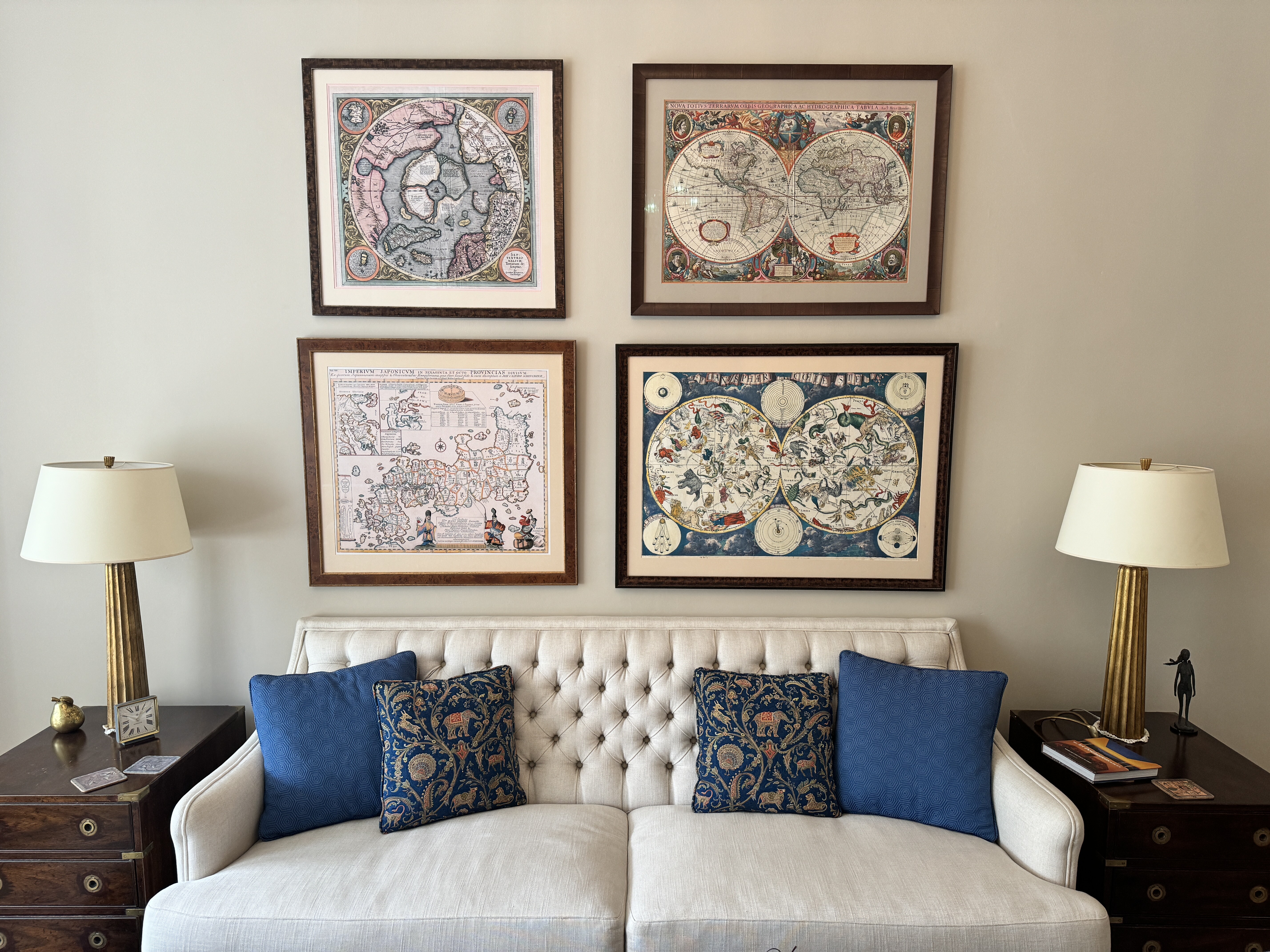
The Planisphaerium Coeleste is a celestial map created in 1680 by the Dutch cartographer Frederick de Wit. The map shows the two main celestial hemispheres, rendered in a polar stereographic projection. The six surrounding diagrams are of the Copernican, Ptolemaic, and Tychonic theoretical systems of cosmology, as well as the phases of the moon, the diurnal rotation of Earth, and the Moon’s orbit around Earth.
The Planisphaerium Coeleste is a celebrated celestial map created in 1680 by Frederick de Wit, one of the most prominent Dutch cartographers of the late 17th century. This map is renowned for its decorative grandeur and scientific ambition, reflecting the intellectual currents of the Golden Age of Dutch mapmaking15. The Planisphaerium Coelestefeatures two main celestial hemispheres, each centered on the ecliptic poles and rendered in a polar stereographic projection, which allows for a comprehensive and visually striking representation of the night sky12. The map is embellished with pictorial constellations, with particular emphasis on the signs of the zodiac and other notable star groups, all vividly colored and often highlighted in gold12.
Surrounding the hemispheres are six supplementary diagrams that illustrate major cosmological theories of the era: the Copernican, Ptolemaic, and Tychonic systems, as well as the phases of the moon, the diurnal rotation of Earth, and the Moon’s orbit around Earth12. These elements make the map not only a navigational and astronomical tool but also a compendium of contemporary scientific thought. De Wit’s map was likely inspired by the celestial hemispheres on Joan Blaeu’s 1658 world map, but it stands out for its independent publication and rarity—it was not part of any major atlas, and only a handful of institutional copies are known to exist today12. The Planisphaerium Coeleste thus represents both the zenith of Dutch decorative cartography and a significant artifact in the history of astronomy5.
Citations:
- https://www.raremaps.com/gallery/detail/69271/planisphaerium-coeleste-de-wit
- https://www.swaen.com/listing/planisphaerium-coeleste/24125
- https://en.wikipedia.org/wiki/File:Planisph%C3%A6ri_c%C5%93leste.jpg
- https://www.christies.com/en/lot/lot-5963498
- https://www.geographicus.com/P/AntiqueMap/planisphaeriumcoeleste-dewit-1680
- https://www.geographicus.com/P/AntiqueMap/planisphaeriumcoeleste2-dewit-1680
- https://prints.sciencesource.com/featured/planisphere-coeleste-star-map-1680-science-source.html
- https://www.loc.gov/item/2013586109/
- https://victoriancollections.net.au/items/5216073119403a17c4ba14b3
- https://www.loc.gov/resource/gdcwdl.wdl_03447/
Answer from Perplexity: https://www.perplexity.ai/search/write-a-200-word-history-of-th-B5d2tXUaT4eLuZf8lVeR5w?utm_source=copy_output
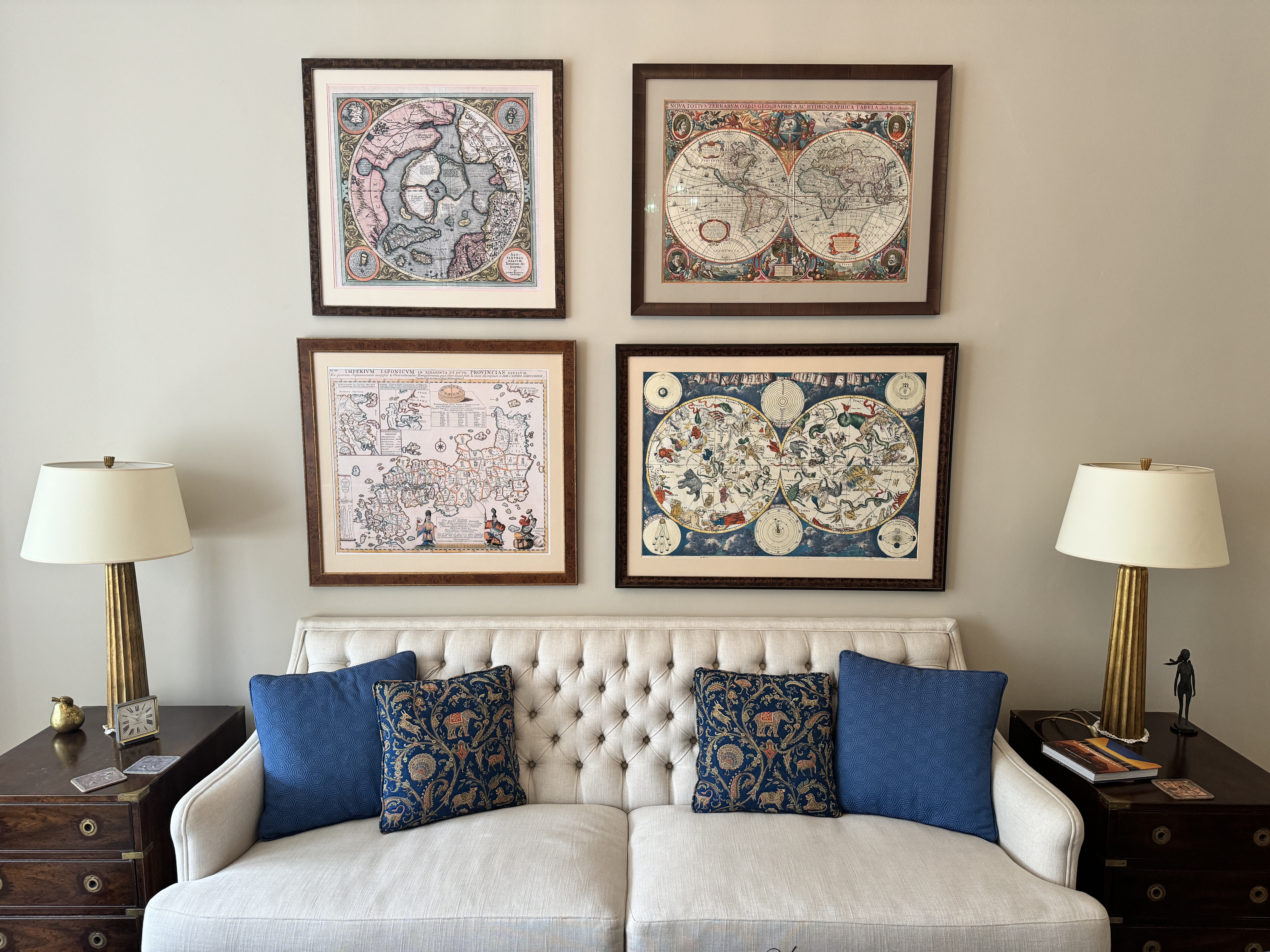
”Planisphaeri coeleste, 1680, a celestial planisphere featuring the constellations of the northern and southern hemispheres with traditional representations of the signs of the Zodiac and constellations, including Draco, Serpens and Hydra. Astronomy and celestial star chart map by the Dutch cartographer family Frederik de Wit. A star chart or star map is a map of the night sky. Astronomers divide these into grids to use them more easily. They are used to identify and locate astronomical objects such as stars, constellations and galaxies. They have been used for human navigation since time immemorial. A planisphere is a type of star chart. The Atlas Coelestis is a star atlas published posthumously in 1729, based on observations made by the First Astronomer Royal, John Flamsteed.” alamy.com
The World - Hendrik Hondius - 1630
One of my all-time favorite maps, by Hendrik Hondius, in 1630, during the Dutch Golden Age, when the world was not yet fully discovered and the conventional wisdom was that California was an island. It’s a map, and a piece of art and a statement about the importance of science in a world that had previously been dominated by religion and tradition.
raremaps.com (Barry Ruderman)
1636 Henricus Hondius
[English Edition!] Nova Totius Terrarum Orbis Geographica Ac Hydrographica Tabula
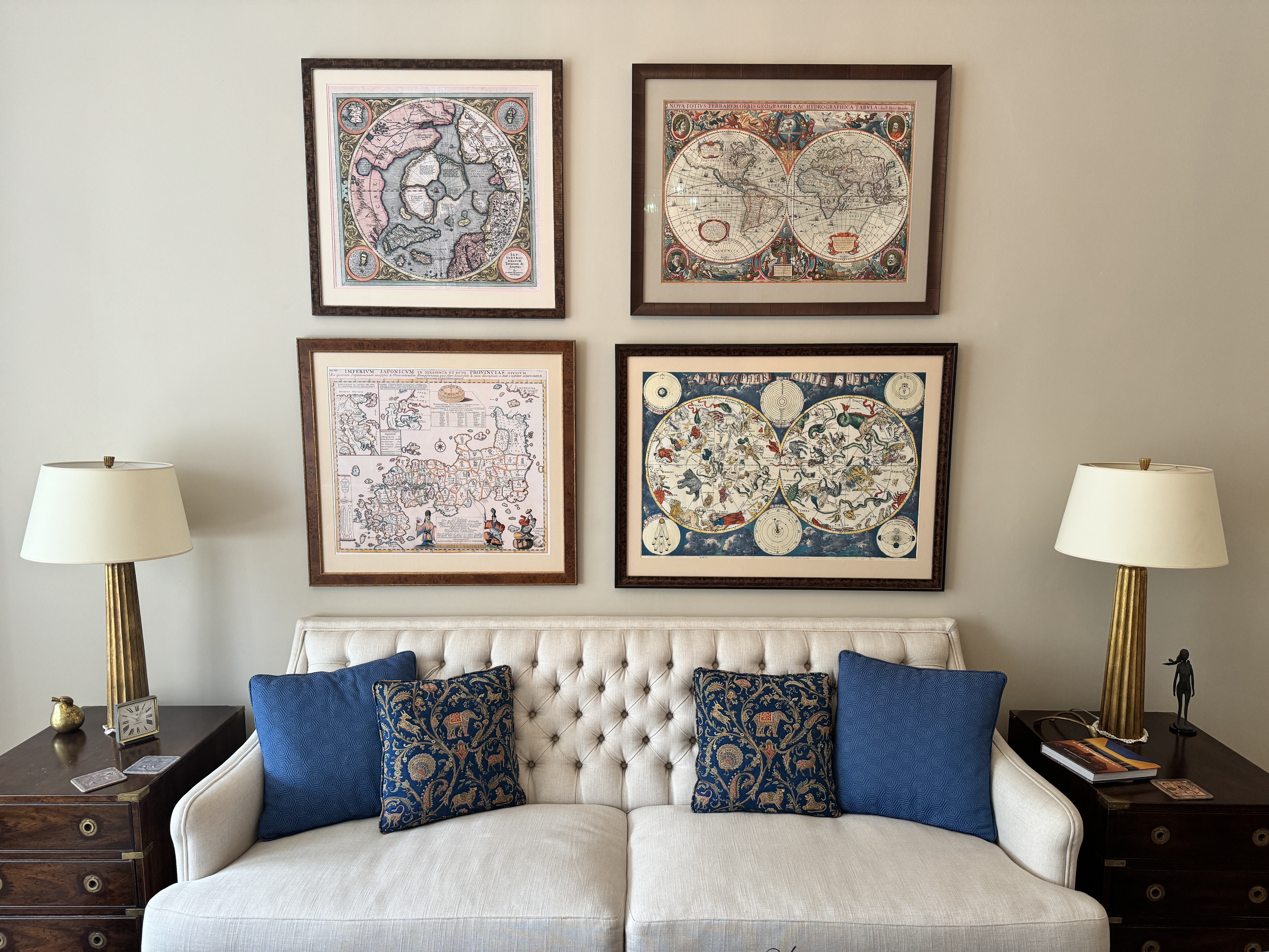
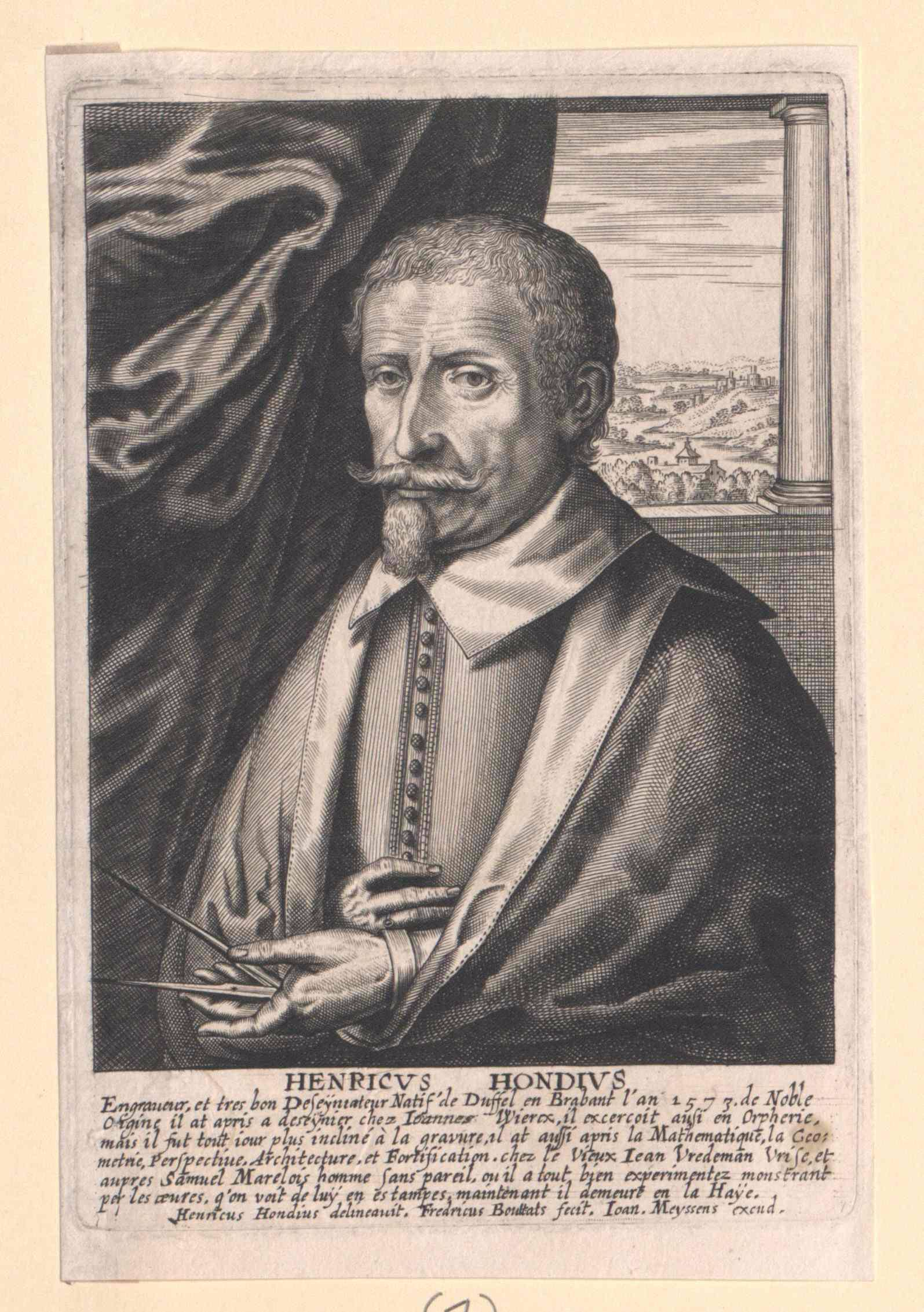
Hendrik Hondius (1573 - 1650) was a Dutch Golden Age engraver, cartographer and publisher. This wonderful and very detailed map was first published around 1630, in his famous atlas Atlantis Maioris. It was the first dated map published in an atlas, and therefore the first widely available map, to show any part of Australia. The map is within decorative border, with portraits of Julius Caesar, Ptolomey, Gerhard Mercator and Jodocus Hondius and tableaus depicting the 4 elements - Earth, Air, Fire and Water. Terra Incognita Maps
Nova Totius Terrarum Orbis Geographica ac Hydrographica Tabula is a map of the world created by Hendrik Hondius in 1630, and published the following year at Amsterdam, in the atlas Atlantis Maioris Appendix. Illustrations of the four elements of fire, air, water, and land are included. In the four corners, there are portraits of Julius Caesar, Claudius Ptolemy, and the atlas's first two publishers, Gerard Mercator and Jodocus Hondius, the father of Hendrik.[39] Among its claims to notability is the fact that it was the first dated map published in an atlas, and therefore the first widely available map, to show any part of Australia, the only previous map to do so being Hessel Gerritsz' 1627 Caert van't Landt van d'Eendracht ("Chart of the Land of Eendracht"), which was not widely distributed or recognised. The Australian coastline shown is part of the west coast of Cape York Peninsula, discovered by Jan Carstensz in 1623. Curiously, the map does not show the west coast features shown in Gerritsz' Caert. Wikipedia
https://collections.leventhalmap.org/search/common...

Japan - Engelbert Kaempfer - 1692
raremaps.com | gim-international
This image of Japan, published in 1727, is based on a drawing by Engelbert Kaempfer (1651-1716), a German physician working at the Dutch trading post in Japan from 1690-1692. It has an inset map of the Kamchatka Peninsula (now part of Russia), Daoist deities, Buddhist rosaries, and a Japanese compass.
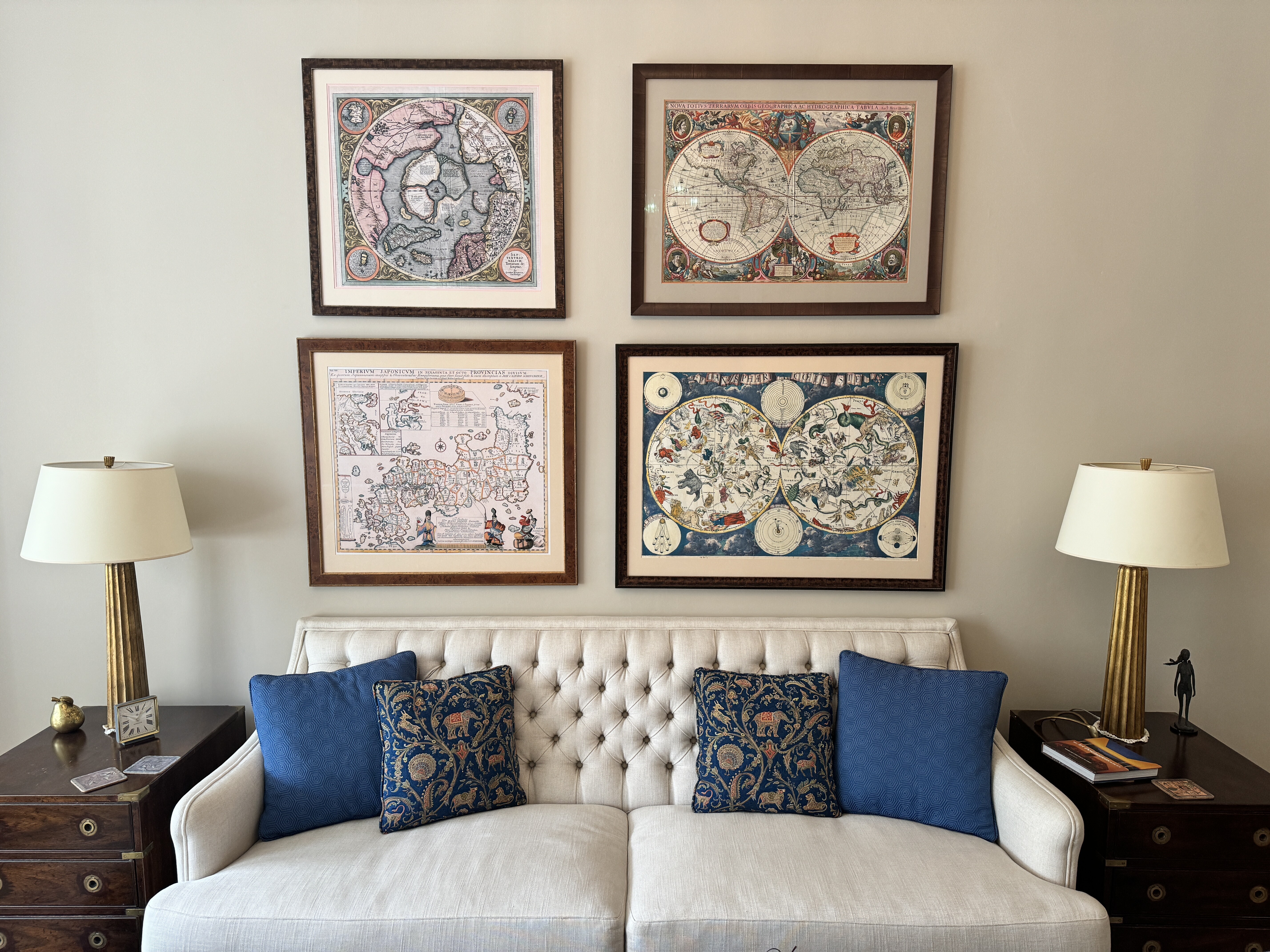
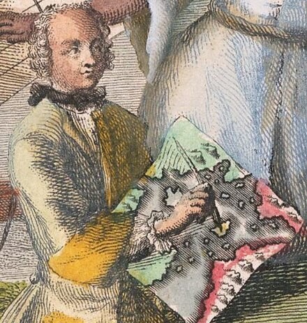
Wikipedia
Engelbert Kaempfer (September 16, 1651 – November 2, 1716) was a German naturalist, physician, and explorer writer known for his tour of Russia, Persia, India, South-East Asia, and Japan between 1683 and 1693. He wrote two books about his travels. Amoenitatum exoticarum, published in 1712, is important for its medical observations and the first extensive description of Japanese plants (Flora Japonica). His History of Japan, published posthumously in 1727, was the chief source of Western knowledge about the country throughout the 18th and mid-19th centuries when it was closed to foreigners. Wikipedia
Engraving after a drawing by Engelbert Kaempfer (1651-1716) showing Japan with inset maps of the Tsugaru-Kaikyo and of the Kamchatka Peninsula (now part of Russia). Also depicted are Daoist deities, Buddhist rosaries, and a Japanese compass. From Kaempfer’s 'The History of Japan' (1727). Kaempfer was a German physician working at the Dutch trading post in Japan from 1690-1692, where he assembled a large collection. On returning to Europe he wrote 'The History of Japan', which records many aspects of the country in the Genroku period (1688-1704). Getty Images
North Pole - Gerardus Mercator - 1569
First published in 1595, based on a world map published in 1569, by Gerardus Mercator, famous for the Mercator projection. Shows Greenland, Iceland, and the mythical island of Frisland. California is identified as a Spanish territory, far to the north of its usual location. The Biblical land of Gog, usually associated with Tartary, is shown in Asia, just across the Strait of Anian. Inset maps show the Faeroe Isles, the Shetland Isles, and Frisland.
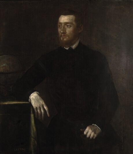
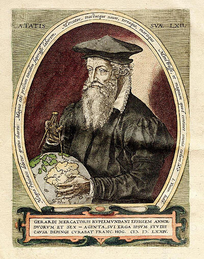
Mercator | 1569 world map
Modern climate scientists are looking hard at historic Arctic maps. As winter sea ice shrinks and cracks appear, they try to understand the reasons for these changes, and determine what we should expect in the future. Centuries ago, though, when people tried to map the Arctic, they weren't too concerned with what was happening to it, they just wanted to know what the heck was up there. And, if they didn't know, they pretty much made it up. Such was the case with the first known map of the Arctic: the Septentrionalium Terrarum, which is filled with magnetic stones, strange whirlpools, and other colorful guesses. The map's creator, the Flemish cartographer Gerardus Mercator, is best known for the "Mercator projection," the now-famed method of taking the curved lines of the Earth and transforming them into straight ones that can be used on a flat map. The Mercator projection was invented for sailors, who, thanks to its design, could use it to plot a straight-line course from their point of origin to their destination. In 1569, Mercator came out with a map of the world based on this principal. Etsy
This is the second edition of Gerard Mercator's map of the North Pole or Arctic, one of the great cartographer's most interesting and important maps. Mercator's Arctic projection has its roots in his magnificent 1569 wall map of the world in which Mercator first introduces his revolutionary projection. As regards the Arctic, the difficulty with the Mercator Projection is that to accurately depict the Polar Regions, his map would have to be infinitely tall. Mercator compensated for this by including a polar projection, very similar to the map shown here, in the lower-left hand corner of his great map. This may rightly be considered to be the world's first specific map of the North Pole. Mercator later reissued this map in an expanded format for his 1595 atlas. Following a number of important expeditions to the Arctic in subsequent 10 years, Mercator's successor Jodocus Hondius reissued the original 1595 map with a number of revolutionary and highly significant changes. Geographicus
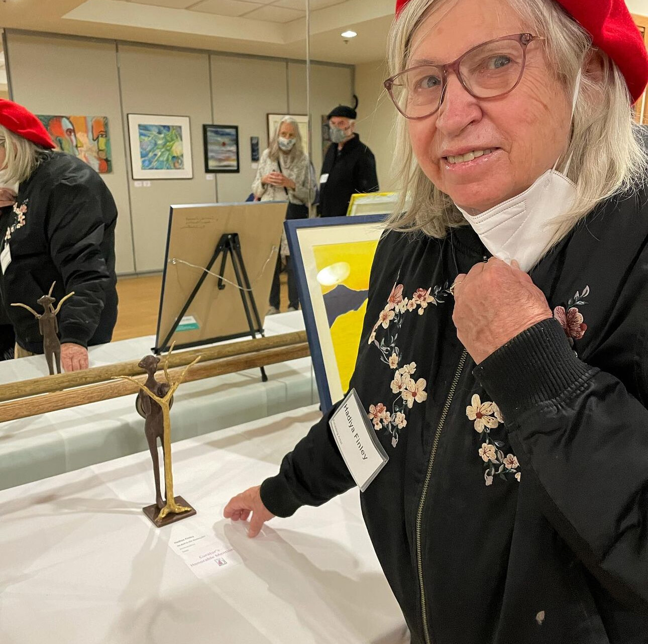
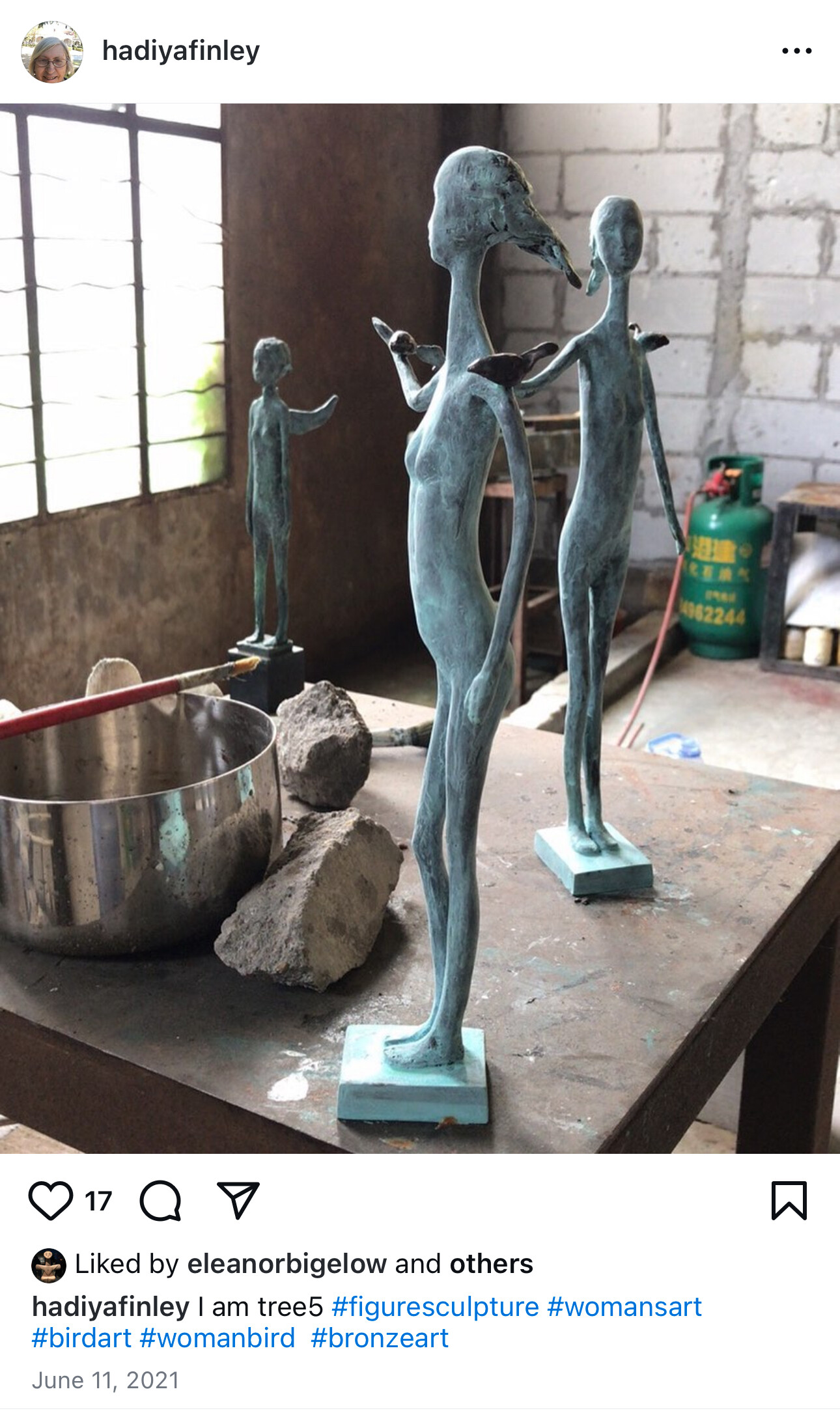
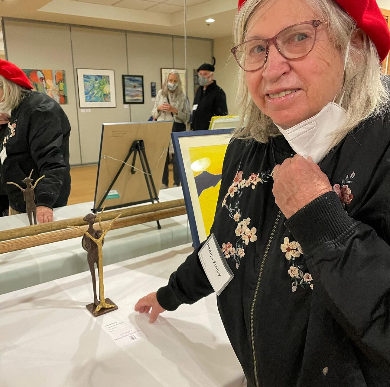
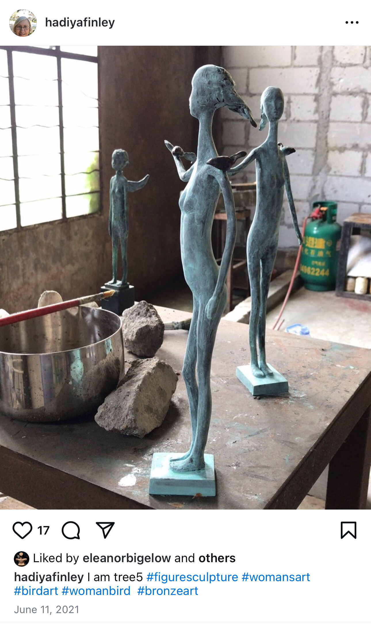
Sculpture - Hadiya Finley - 2020
Planiglobii Terrestris - Johann Baptist Homann - 1716
Planiglobii Terrestris was created by Johann Baptist Homann in 1716. This map exemplifies Enlightenment ideals, blending scientific accuracy with artistic flourish. Notable elements include two celestial maps, two maps showing the Earth’s orientation relative to the sun during the solstices, Australia and New Zealand incomplete, traces of the routes of certain explorers, and the absence of Antarctica.
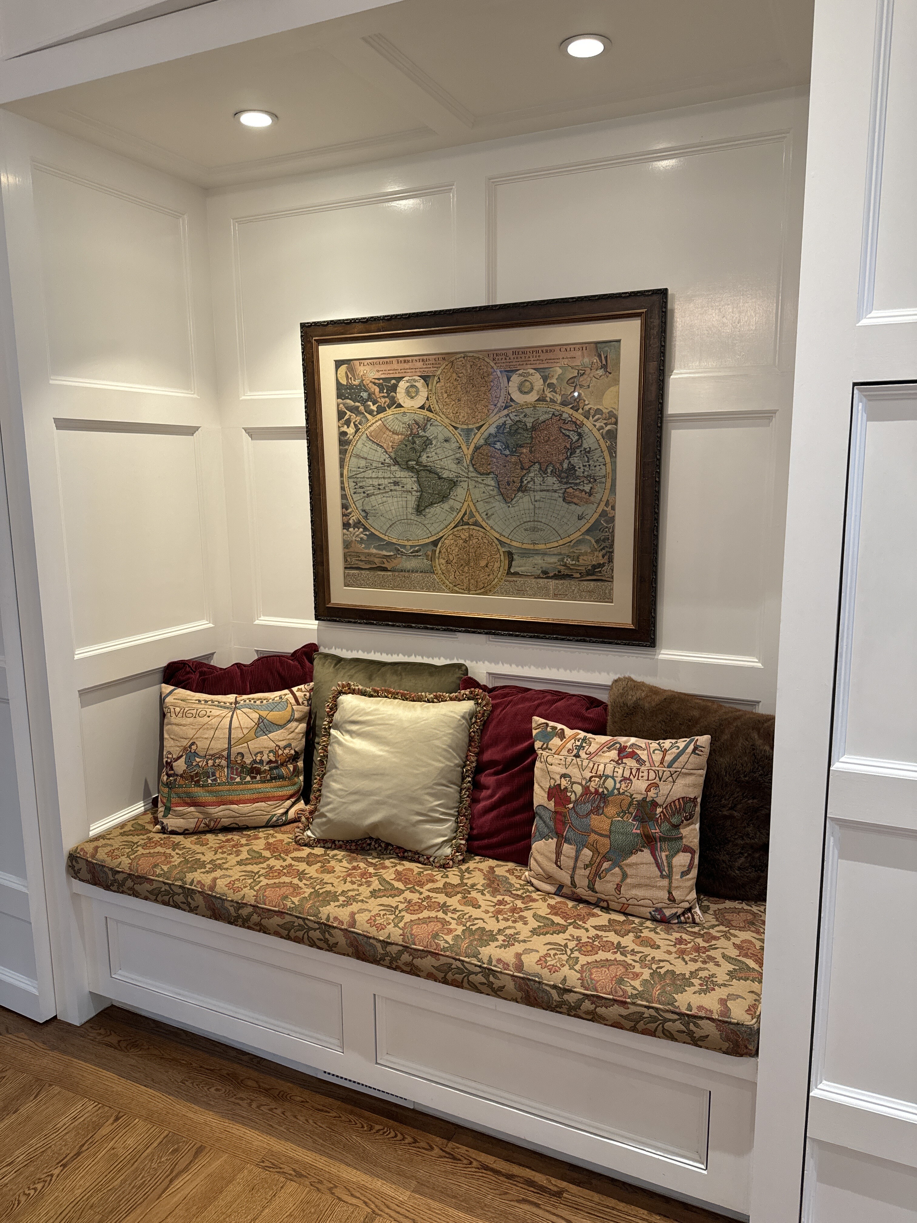
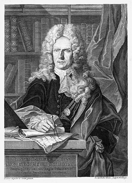
Johann Baptist Homann’s Planiglobii Terrestris Cum Utroq Hemisphaerio Caelesti Generalis Exhibitio is a landmark double-hemisphere world map first published around 1716, with editions circulating through the 1720s25. Homann, born in Bavaria in 1664, was among the most influential European cartographers of his era, transforming German mapmaking into a major force that rivaled France and the Netherlands34. After founding his Nuremberg publishing house in 1702, Homann became Imperial Geographer to Emperor Charles VI in 1715, granting him privileged access to the latest geographic data34.
This map exemplifies Enlightenment ideals, blending scientific accuracy with artistic flourish. It features detailed representations of the known continents, integrating recent discoveries and omitting much of the mythical geography common in earlier maps3. The map is notable for its decorative cartouches, allegorical figures, and celestial hemispheres, reflecting both the scientific and artistic ambitions of the period35. Homann’s use of thematic cartography and improved projection techniques made his maps highly valued for navigation, trade, and governance3.
After Homann’s death in 1724, his publishing house continued as Homann Heirs, ensuring his cartographic legacy endured throughout the 18th century34. The Planiglobii Terrestris remains a testament to the era’s quest for knowledge and the artistry of early modern cartography.
Citations:
- https://www.geographicus.com/P/ctgy&Category_Code=homann
- https://www.loc.gov/item/98687159/
- https://nwcartographic.com/blogs/essays-articles/map-maker-biography-johann-baptist-homann-1664-1724
- https://www.geographicus.com/P/AntiqueMap/totiusamericae-homann-1720
- https://www.vintage-maps.com/en/antique-maps/world-maps/homann-world-map-1710::1414
- https://www.vintage-maps.com/en/antique-maps/world-maps/homann-world-map-1720::12151
- https://www.vintage-maps.com/en/antique-maps/world-maps/homann-world-and-continents-1720::11811
- https://sanderusmaps.com/our-catalogue/antique-maps/world-and-polar-regions/antique-map-of-world-by-homann-j-b-29066
- https://retrographik.com/old-map-of-the-world-dated-circa-1720/
- https://en.wikipedia.org/wiki/Johann_Homann
Answer from Perplexity: https://www.perplexity.ai/search/write-a-200-word-history-of-th-u23rflX3TuGbyO3nChtQvg?utm_source=copy_output
*******************************
Homann was born in Oberkammlach near Kammlach in the Electorate of Bavaria. Although educated at a Jesuit school, and preparing for an ecclesiastical career, he eventually converted to Protestantism and from 1687 worked as a civil law notary in Nuremberg. He soon turned to engraving and cartography; in 1702 he founded his own publishing house.
Homann acquired renown as a leading German cartographer, and in 1715 was appointed Imperial Geographer by Emperor Charles VI. Giving such privileges to individuals was an added right that the Holy Roman Emperor enjoyed. In the same year he was also named a member of the Prussian Academy of Sciences in Berlin. Of particular significance to cartography were the imperial printing privileges (Latin: privilegia impressoria). These protected for a time the authors in all scientific fields such as printers, copper engravers, map makers and publishers. They were also very important as a recommendation for potential customers.
In 1716 Homann published his masterpiece Grosser Atlas ueber die ganze Welt (Grand Atlas of all the World). Numerous maps were drawn up in cooperation with the engraver Christoph Weigel the Elder, who also published Siebmachers Wappenbuch.
Homann died in Nuremberg in 1724. He was succeeded by his son Johann Christoph (1703-1730). The company carried on upon his death as Homann heirs company, managed by Johann Michael Franz and Johann Georg Ebersberger. After subsequent changes in management the company folded in 1852.[1] The company was known as "Homann Erben", "Homanniani Heredes", or "Heritiers de Homann" abroad. Wikipedia
“Diner-ware” - Leighton - date not known
I call this piece “Diner-Ware,” but all we know is that the artist is Leighton and that Eleanor bought it in 2024 (10/1/24) for $80 on Fillmore street. It reminds Eleanor of the simplicity of diners and the good times spent there. Apparently acquired from an East coast estate sale.
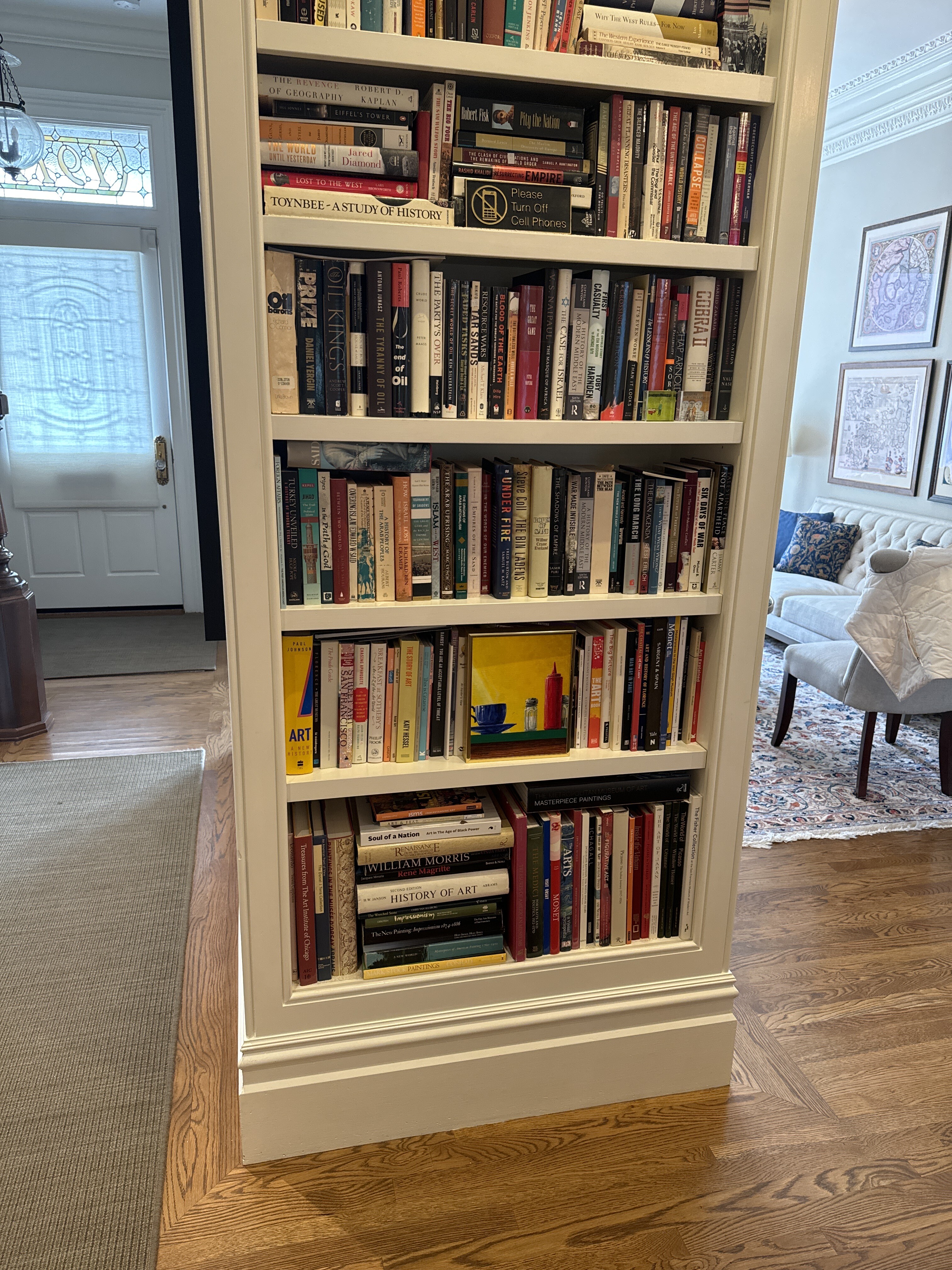
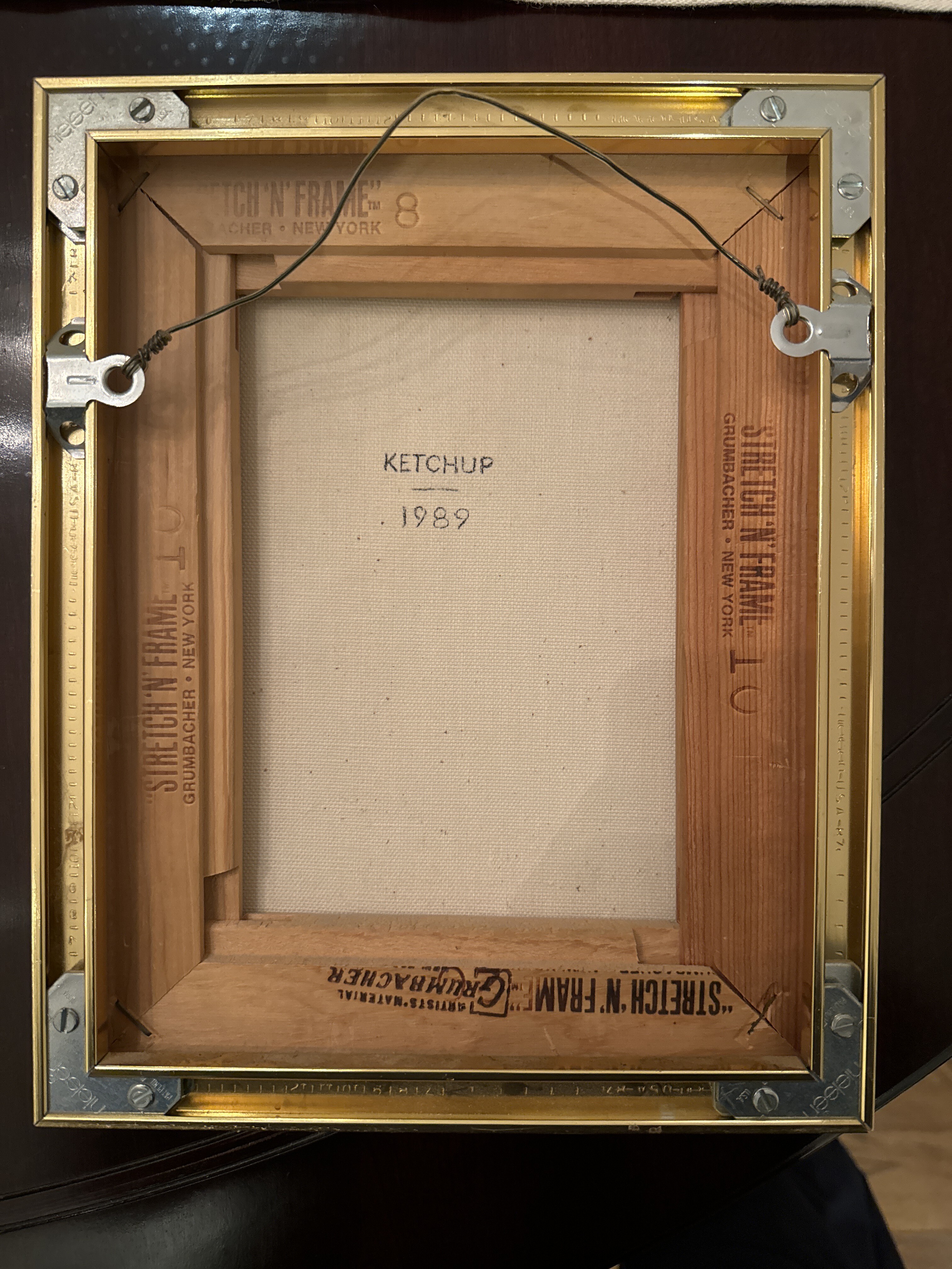
A praying skeleton. 1830/1835?, after W. Cheselden, ca. 1733.
Wellcome Collection - William Cheselden
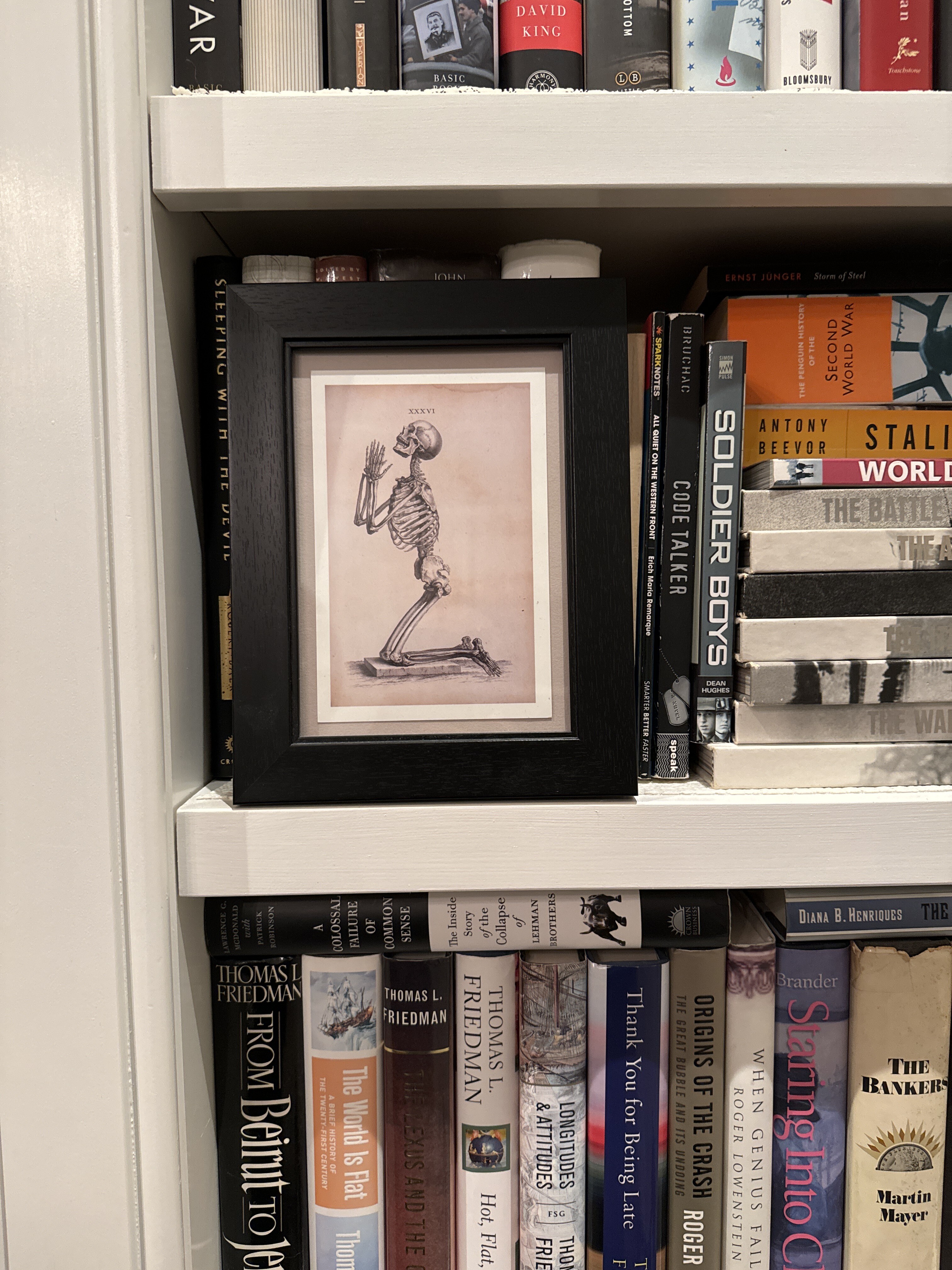
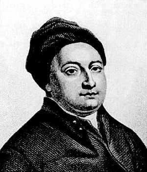
The praying skeleton image you’re inquiring about has an interesting history that connects to the work of William Cheselden, a prominent 18th-century British surgeon and anatomist. Here’s a detailed account of its origins and significance:
Origins in Cheselden’s Osteographia
The original praying skeleton illustration was created for William Cheselden’s masterpiece “Osteographia, or the Anatomy of the Bones,” published in 1733. This work was a groundbreaking anatomical atlas that set new standards for accuracy and artistic beauty in medical illustration.
Innovative Techniques
Cheselden employed innovative techniques to ensure the utmost accuracy in his skeletal depictions:
1. Camera Obscura: He had his artists, Gerard Vandergucht and Jacob Schijnvoet, use a camera obscura to create initial drawings, which was revolutionary for its time.
2. Active Involvement: Cheselden personally chose the poses for the skeletons and oversaw each stage of production, often making corrections to both drawings and copper plates.
The Praying Skeleton
The praying skeleton illustration was inspired by the meditative skeletons of Vesalius, an earlier anatomist. Cheselden chose this pose for a specific reason:
• It allowed him to “represent the figure in a larger scale” while still fitting it within the page constraints.
• The lateral view of the kneeling skeleton offered a unique perspective for anatomical study.
Later Adaptations
The popularity and influence of Cheselden’s work led to various adaptations:
1. Anatomy Textbook: In 1740, Cheselden adapted the praying skeleton figure for his “Anatomy of the Human Body,” where it appeared with arms tied behind its back.
2. 19th Century Reproduction: The 1830-1835 ink and watercolor version you’re referring to is likely a reproduction or adaptation of Cheselden’s original 1733 illustration.
Significance
Cheselden’s “Osteographia” and its illustrations, including the praying skeleton, were significant for several reasons:
• Scientific Accuracy: The use of the camera obscura and Cheselden’s meticulous oversight ensured unprecedented anatomical accuracy.
• Artistic Beauty: The illustrations were praised for their aesthetic quality as well as their scientific value.
• Educational Impact: The work became an essential study source for medical students for nearly a century.
The 1830-1835 ink and watercolor version represents the enduring influence of Cheselden’s work, demonstrating how his illustrations continued to be referenced and reproduced nearly a century after their original creation. This longevity speaks to the quality and importance of Cheselden’s contributions to both medical science and anatomical illustration.
Source: Perplexity
[ 2024-11-18 04:33:43 ]
Lucite blocks - Ted DeSanto - 2023
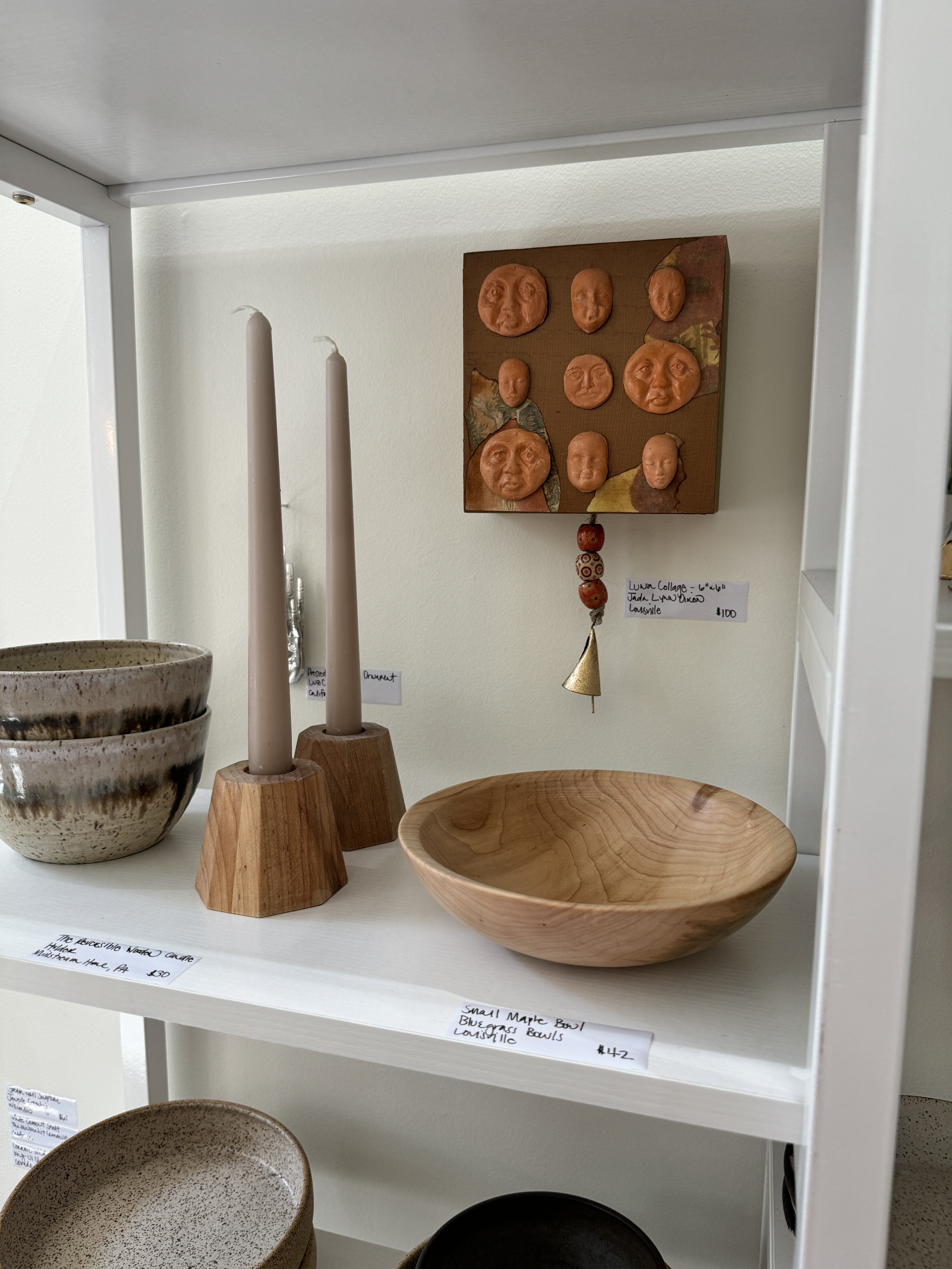
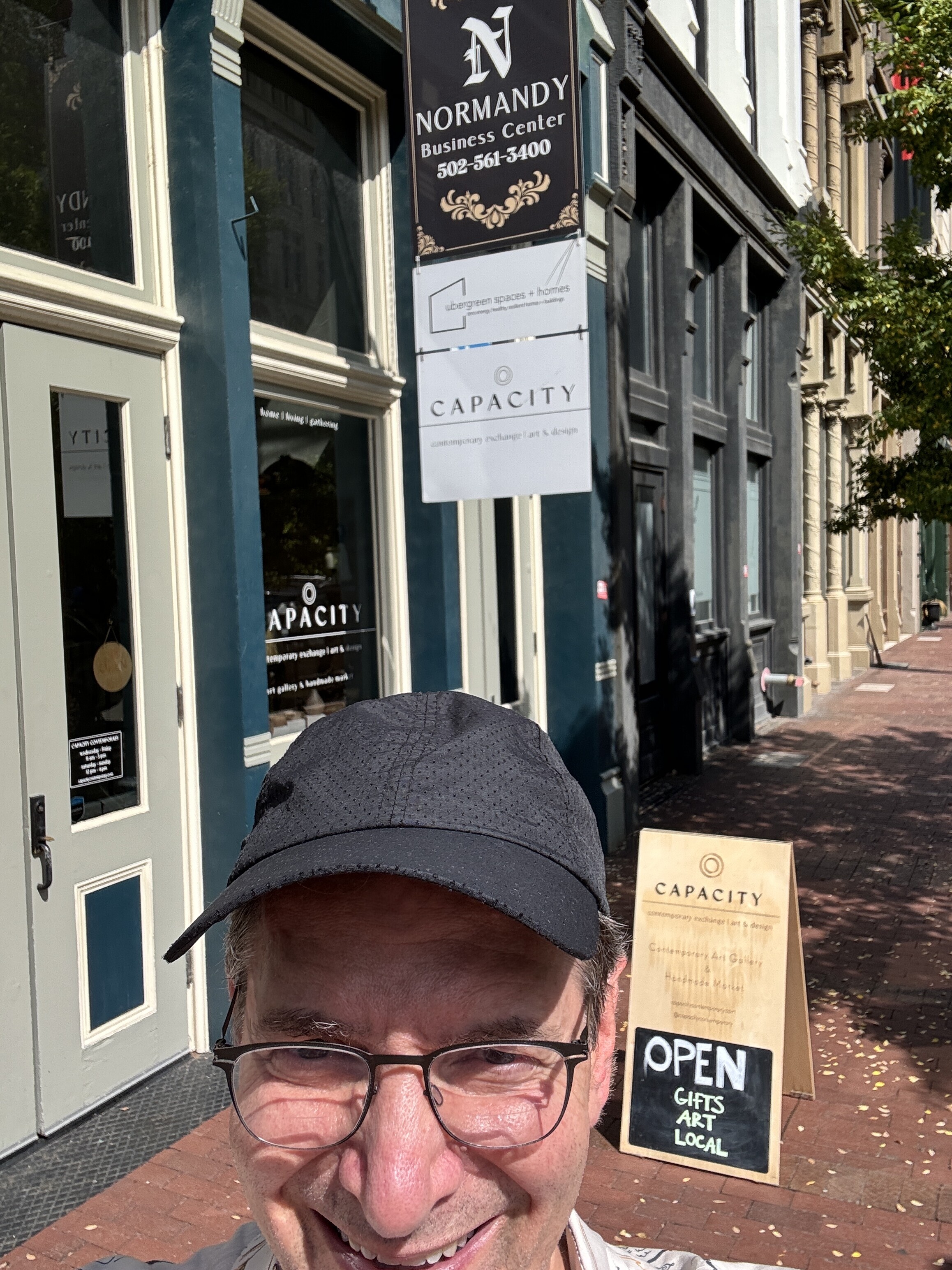
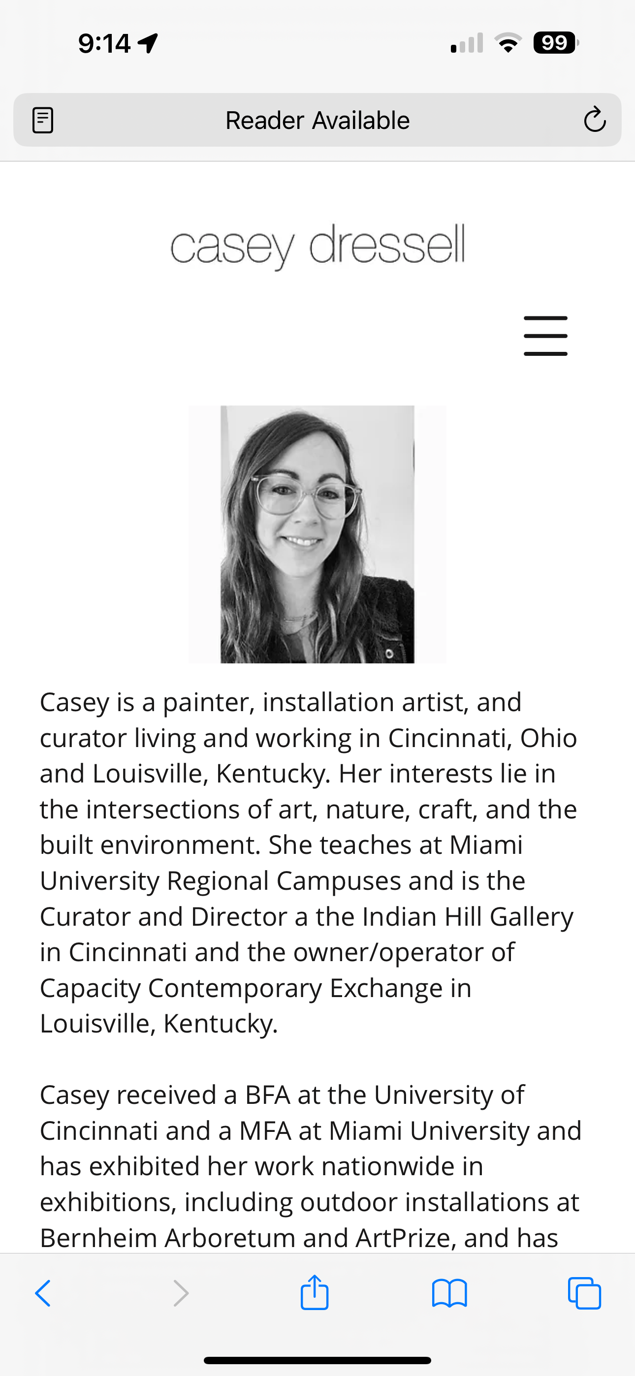
We bought these in Louisville in September 2024 at the gallery owned by Casey Dressell.
https://www.pyrogallery.com/taddesanto
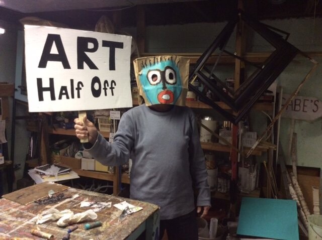
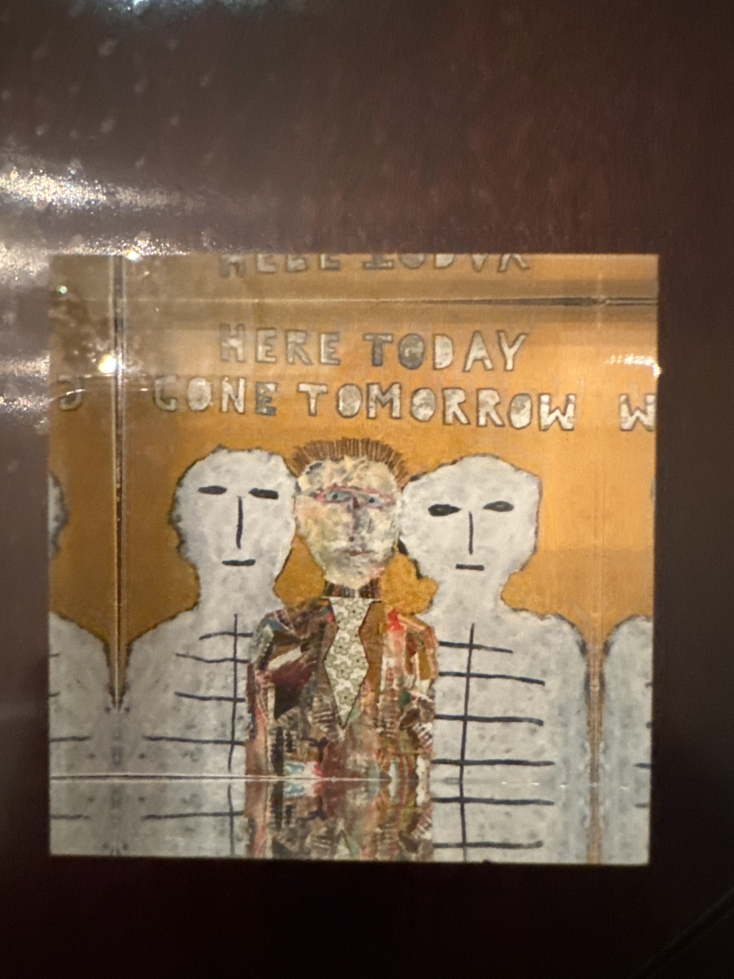
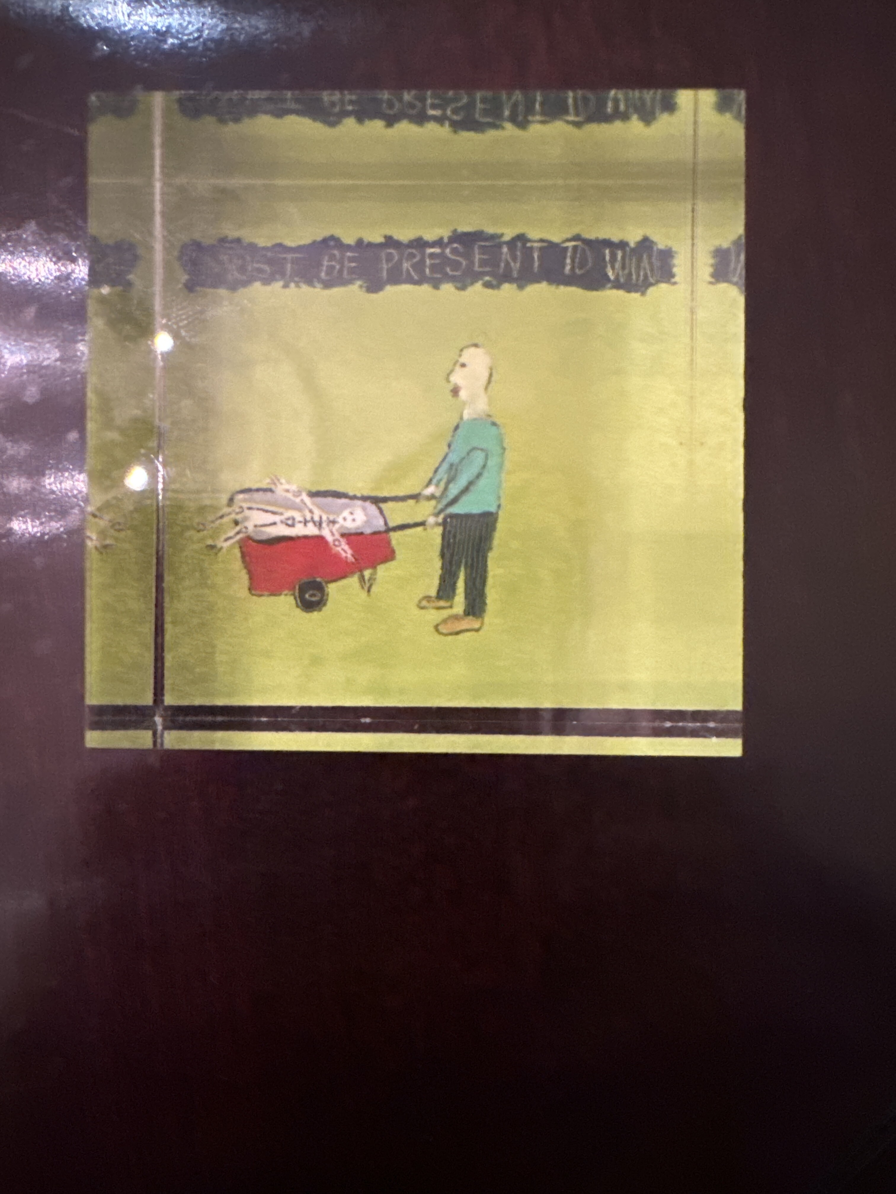
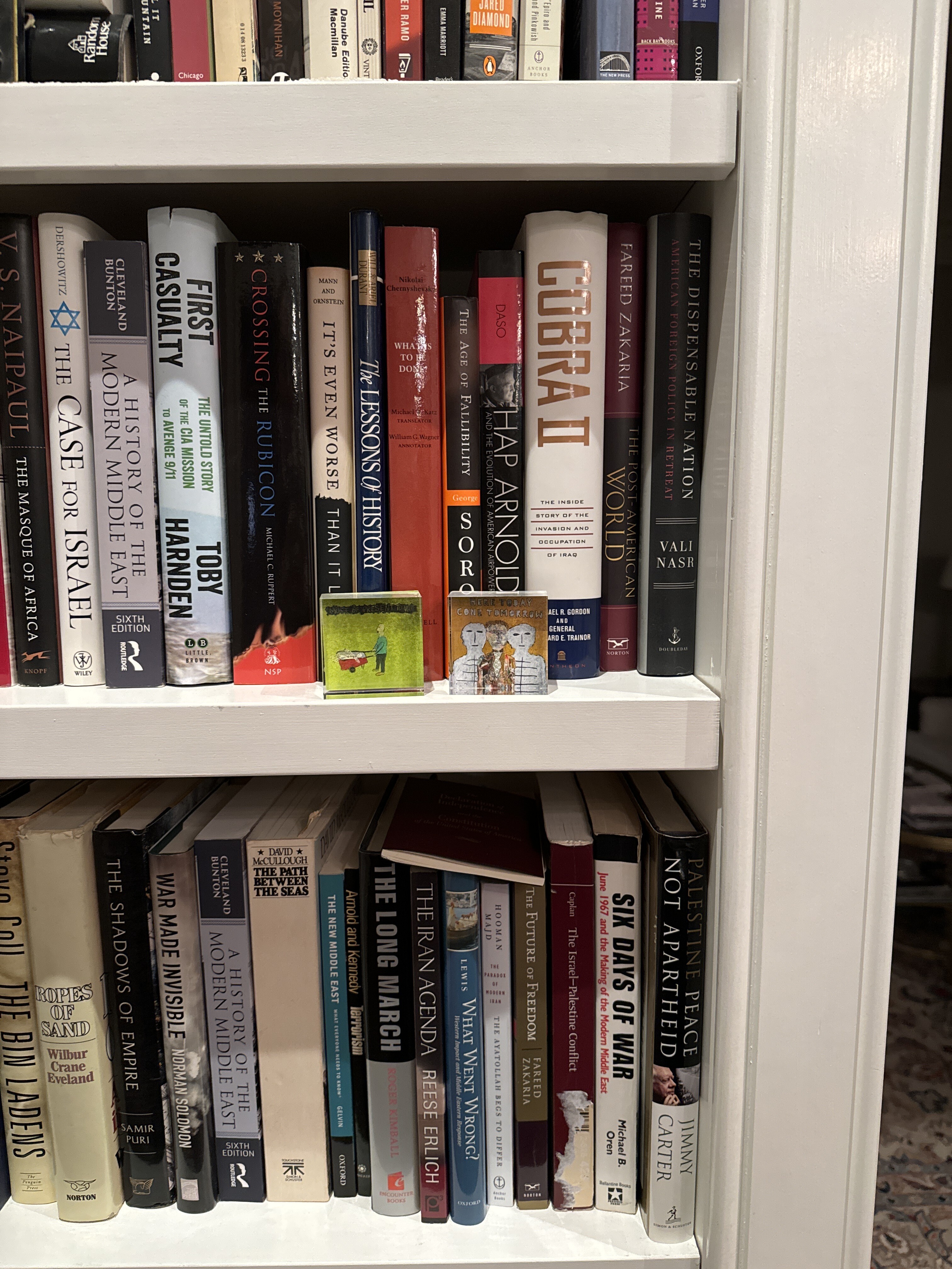
I am a 74 year-old self-taught artist. I have been showing and selling my work since 2005. I’ve exhibited my work at the New York City Outsider Art Fair, the Kentucky Museum of Art & Craft, the Kentucky Folk Art Center, Craft(s) Gallery & Mercantile, Edenside Gallery, Gallery Hertz, Swanson Contemporary, the Good Folk Fest and other venues. I have been fortunate to have my work travel beyond the Louisville metro area. The University of Kentucky has five of my pieces displayed in their newest residence hall. Two of my pieces were purchased from a 4-person show in Nashville coordinated by the Kentucky Folk Art Center. I have also sold work in Dallas, San Francisco, Phoenix, Ann Arbor, Lexington, Georgetown, CT, South Carolina and one to Scotland!
[ 2024-11-18 04:44:39 ]
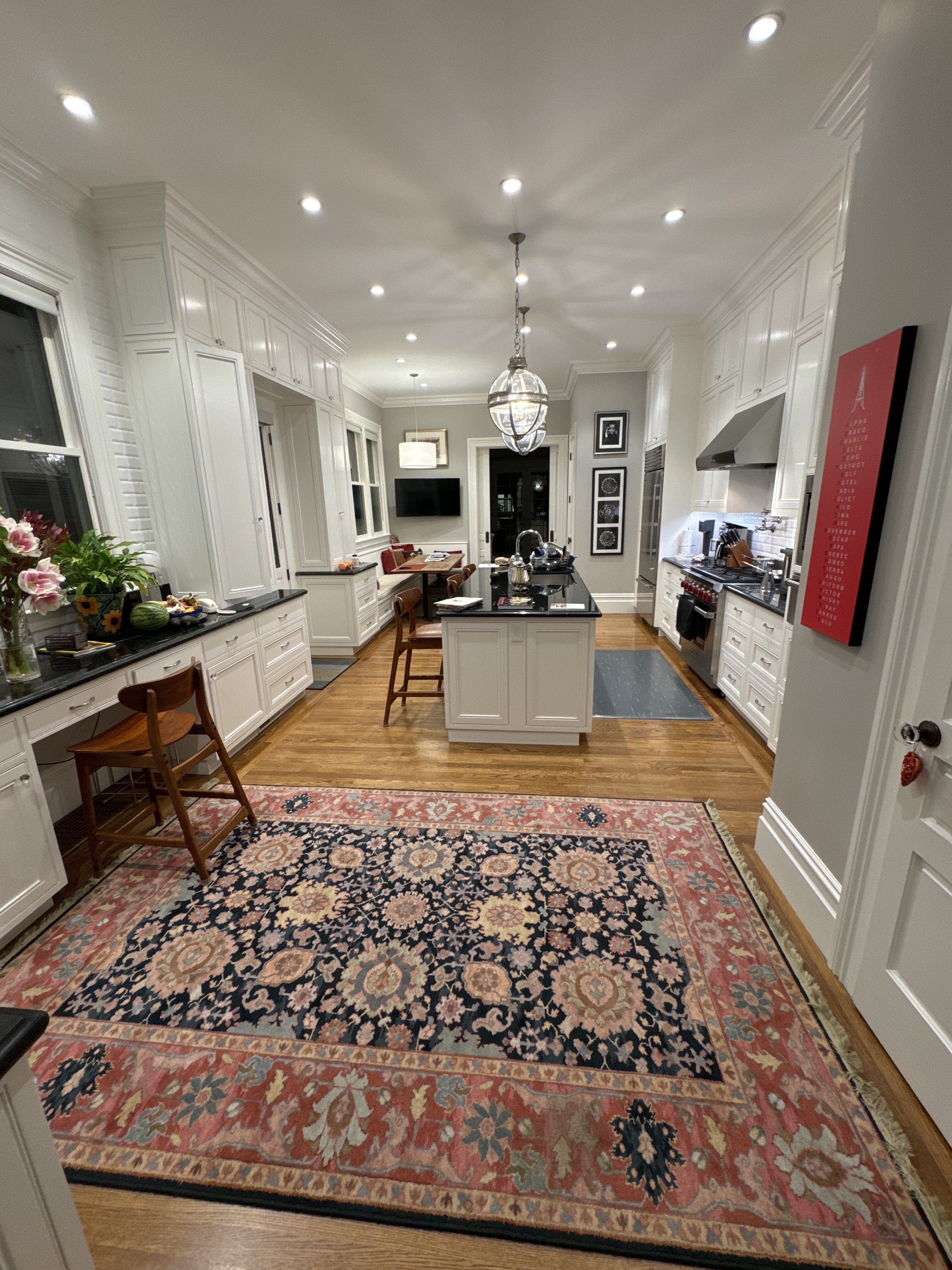
Kitchen - 1st Floor - Paper-Bigelow Residence
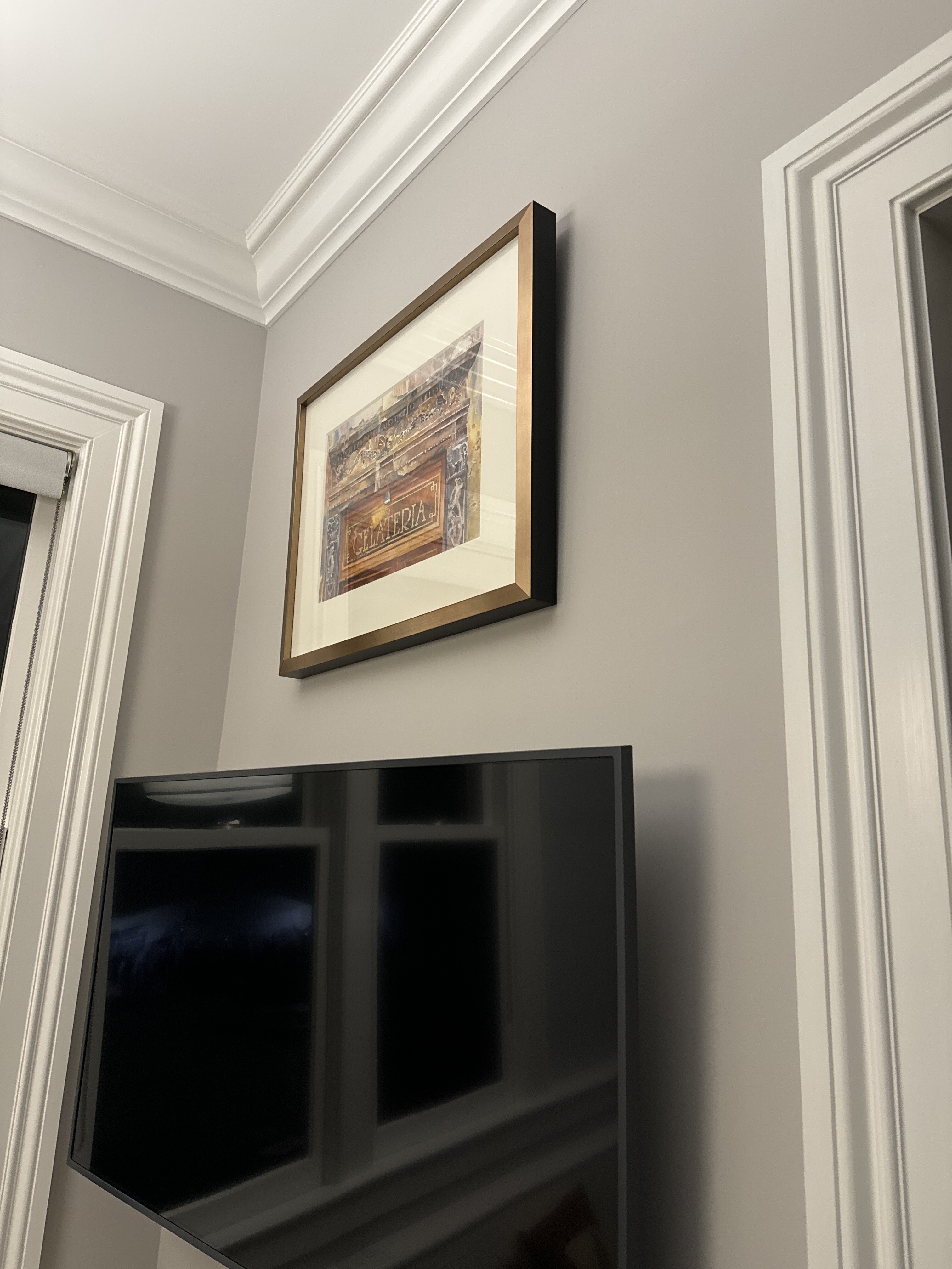
Gelateria - Jann Pollard
Lily Shanahan - Commissioned Art
Really? - Gail Morgan - 2024
Bot 6/22/2024 at Upstairs Art Gallery which is inside of Levin & Company bookstore in Healdsburg.
Link to Gail Morgan artist website here.
Link to Upstairs Art / Levin & Company / Instagram 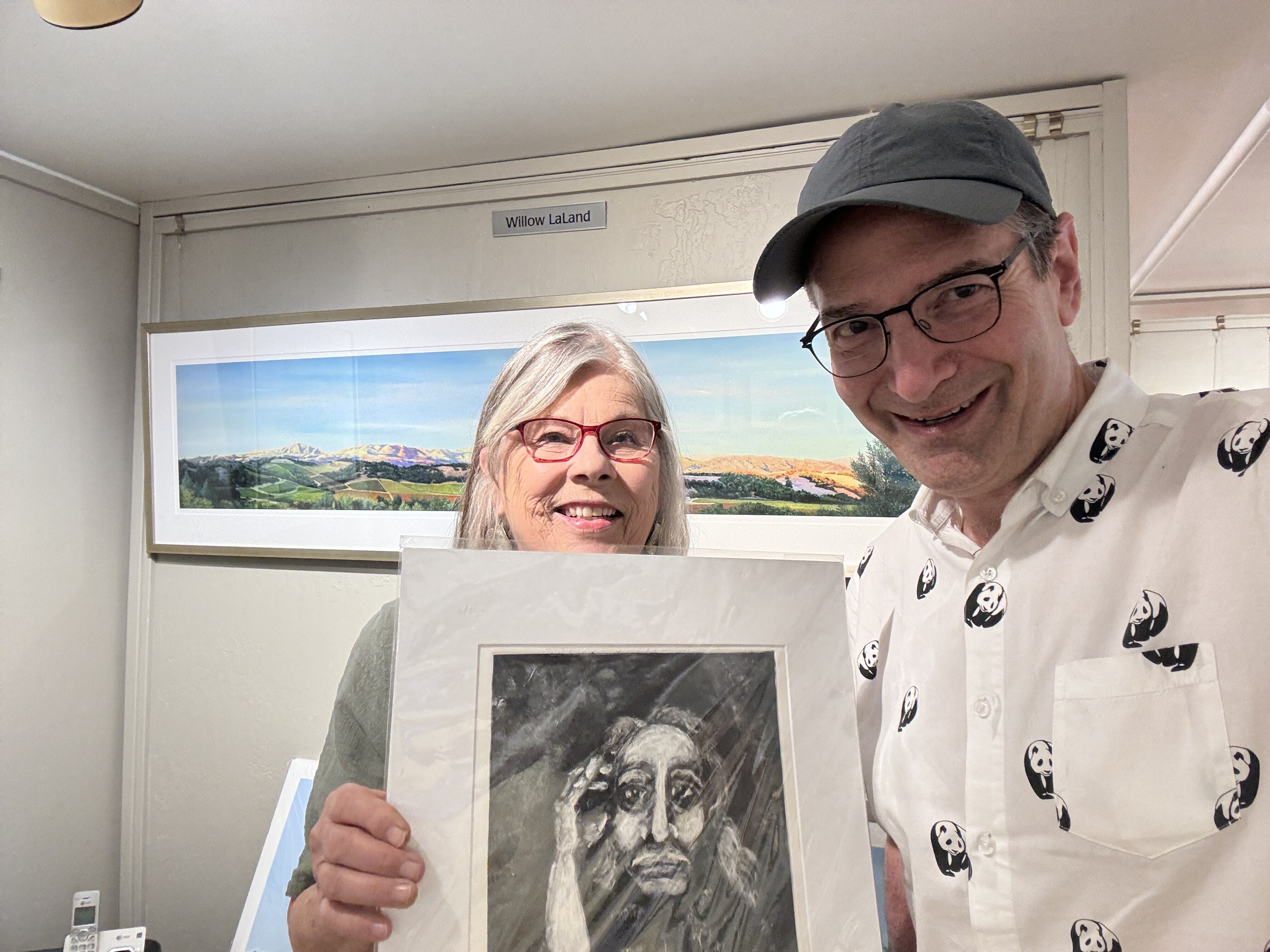
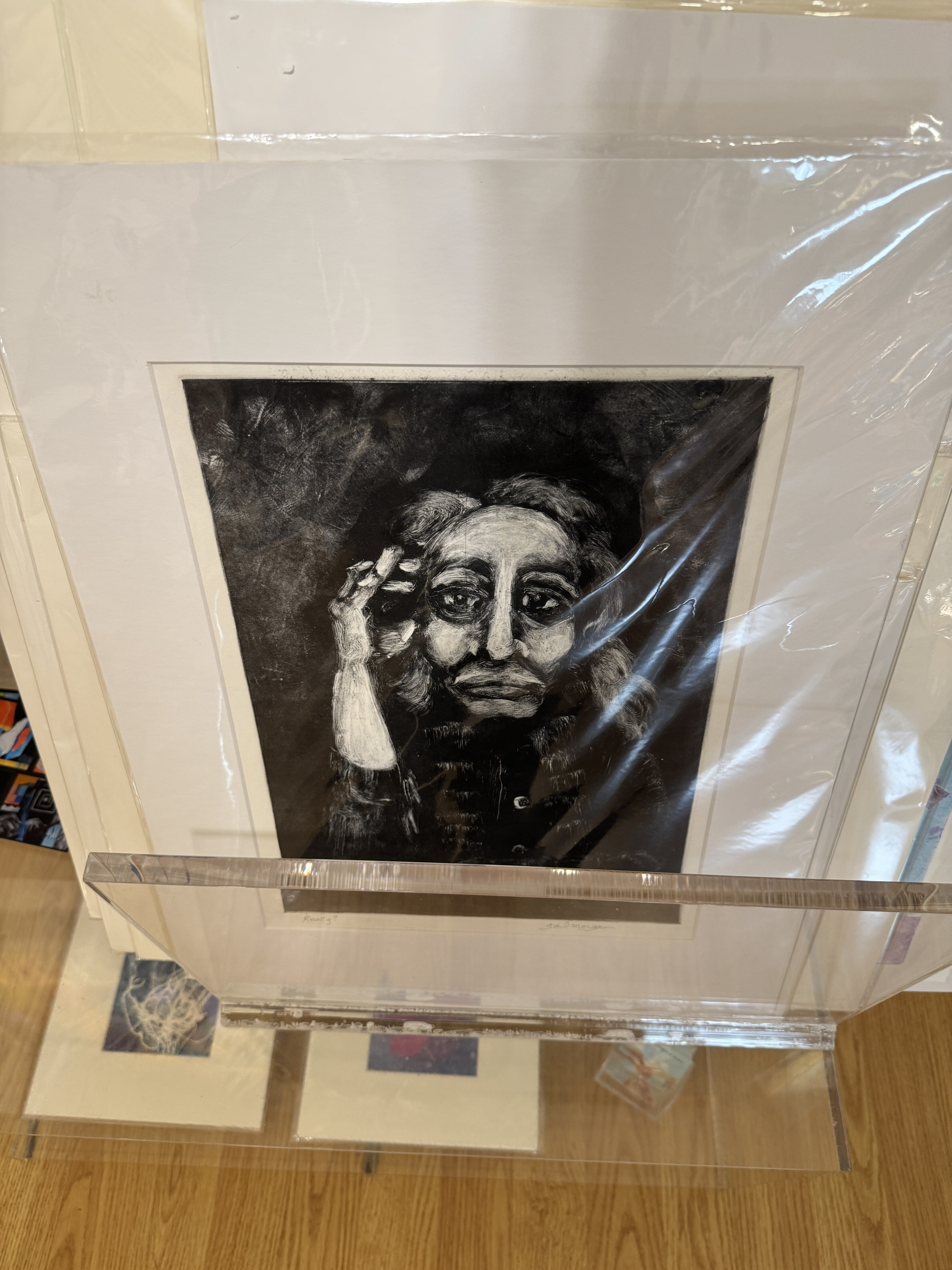
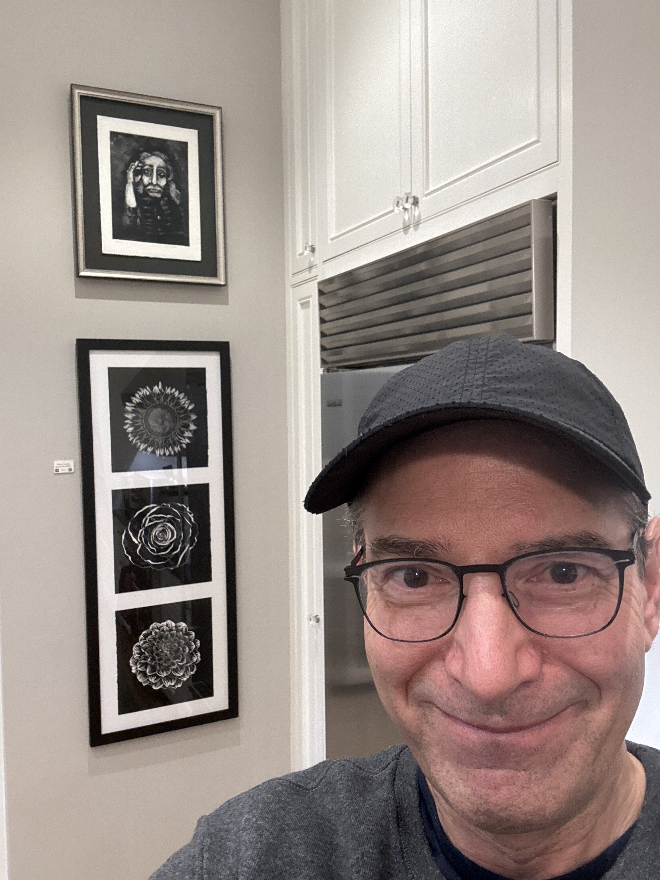
00:00
Okay, hi, gale. We just met Gail Morgan, and I'm gonna be buying this piece called Really And tell me about this, um.
00:09
And really is a portrait torso up of a woman with her hand against her head thinking.
00:18
And it is done. It's a monotype, but done with a subtractive method.
00:25
So of ink to plate with black, and then I've wiped away to create the image in it, wiped away the light spots.
00:33
And this one in particular, I think I was channeling a good friend who lives in Ivy Beach, mexico, um, who I communicate with often.
00:43
She's a very interesting lady with an interesting life. She seemed wise to me, very wise.
00:49
And she is a writer, um, and a translator, and fascinating.
00:56
She's lovely. And the title is, really, is she skeptical? Or Yes.
01:01
Well, in in our communications, we often talk about the news, and we go, really, that's great.
01:09
Okay. Thank you, Gail.
[ 2024-09-22 15:01:55 ]
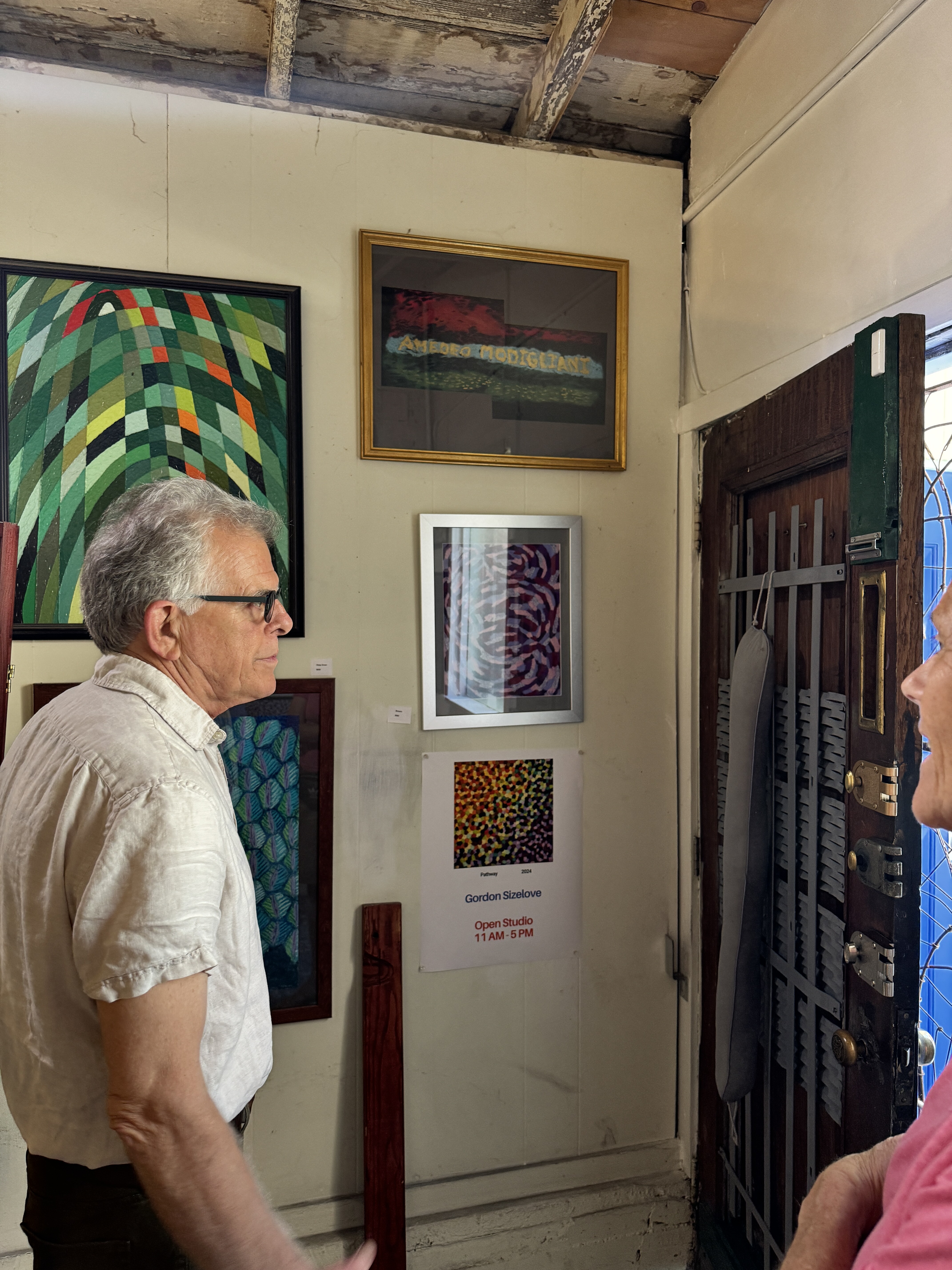
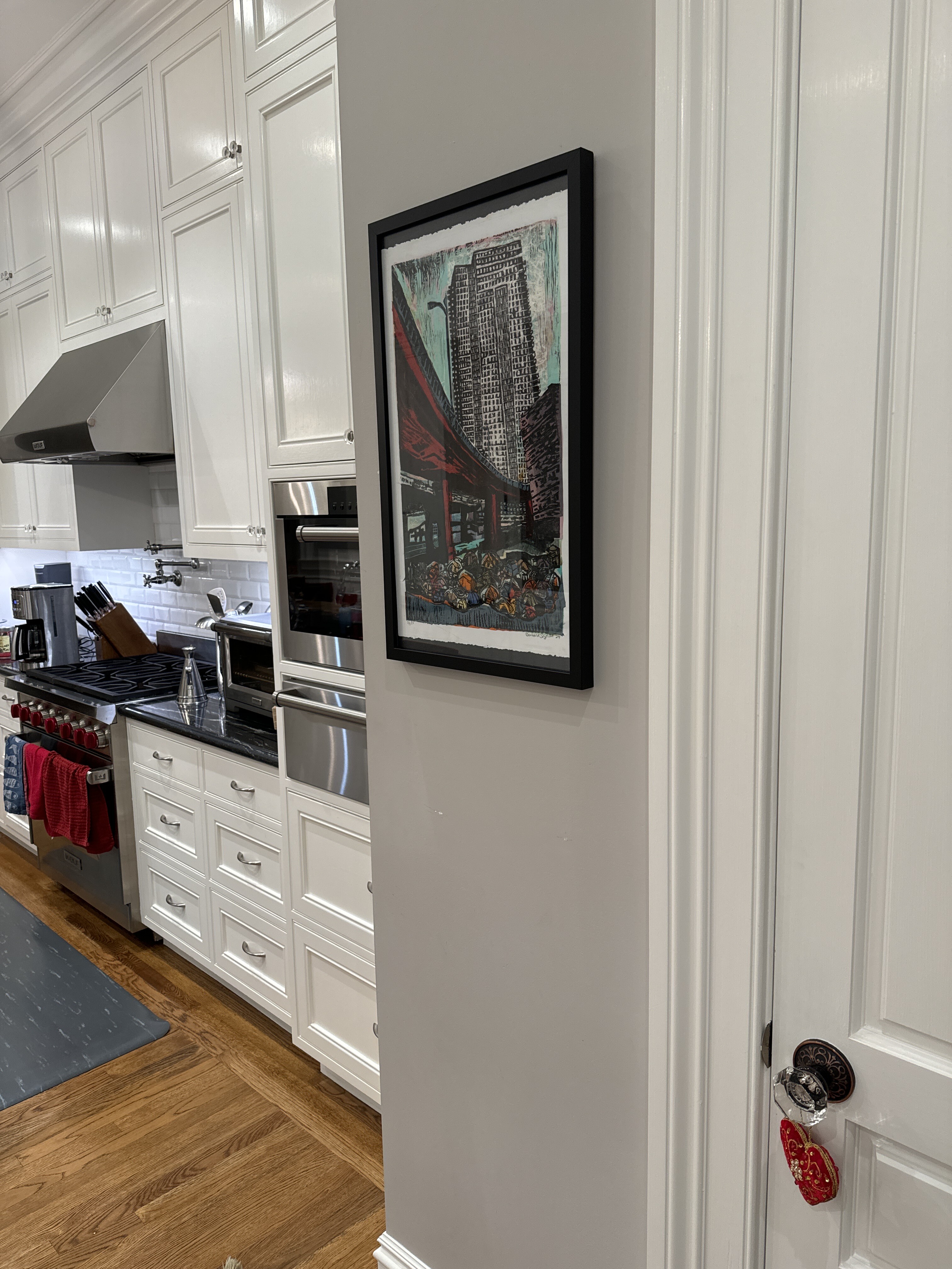
Two Ways of Living (named by TMP) - Barbara Sizelove - 2024
Eleanor and I bought this piece during open studios in October 2024. We visited Barbara and her husband Gordon, also an artist whose work we bought, at their South of Market home, which is also their studio. They were so very welcoming and kind. Barbara Sizelove artist link here.
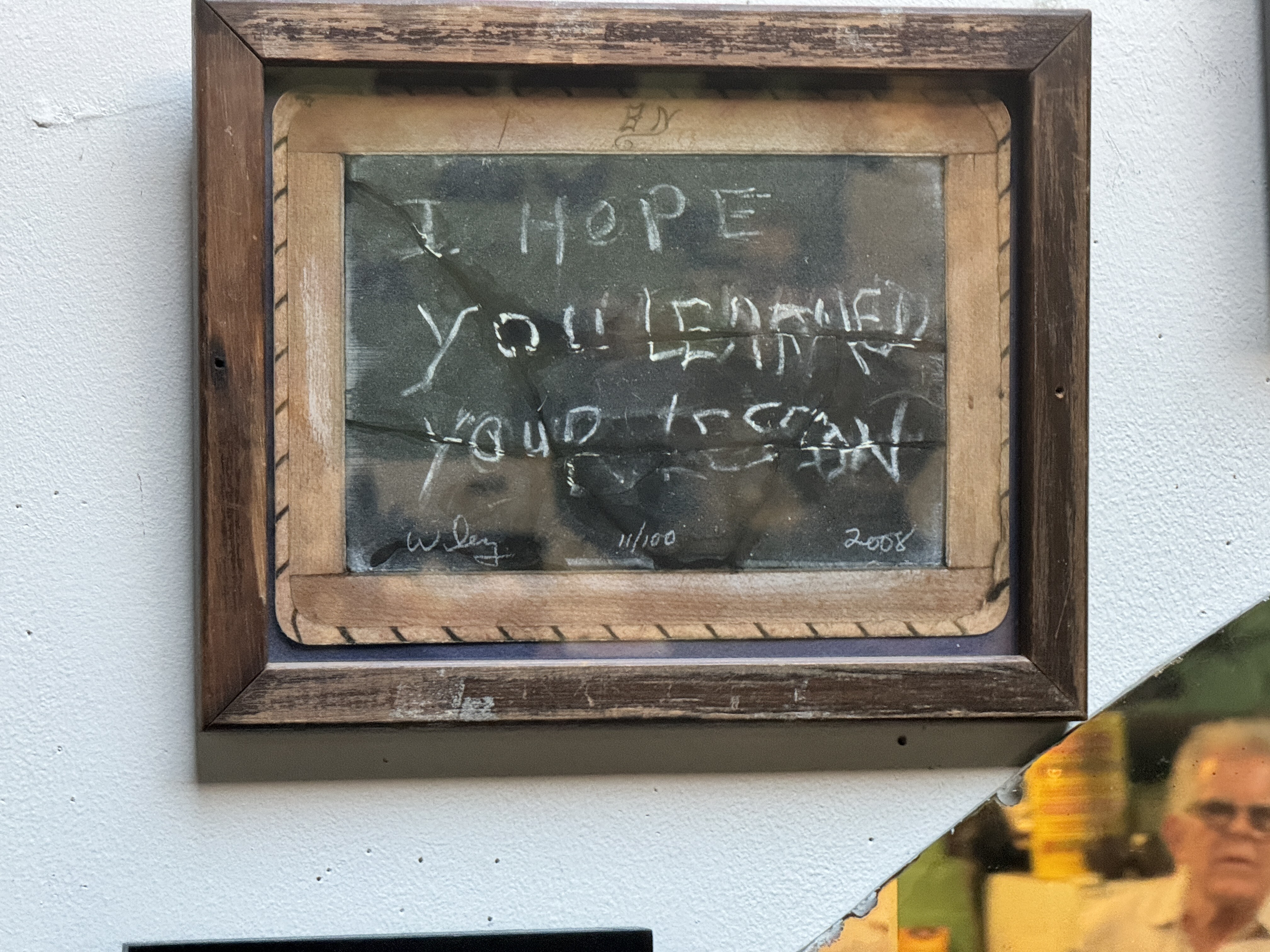
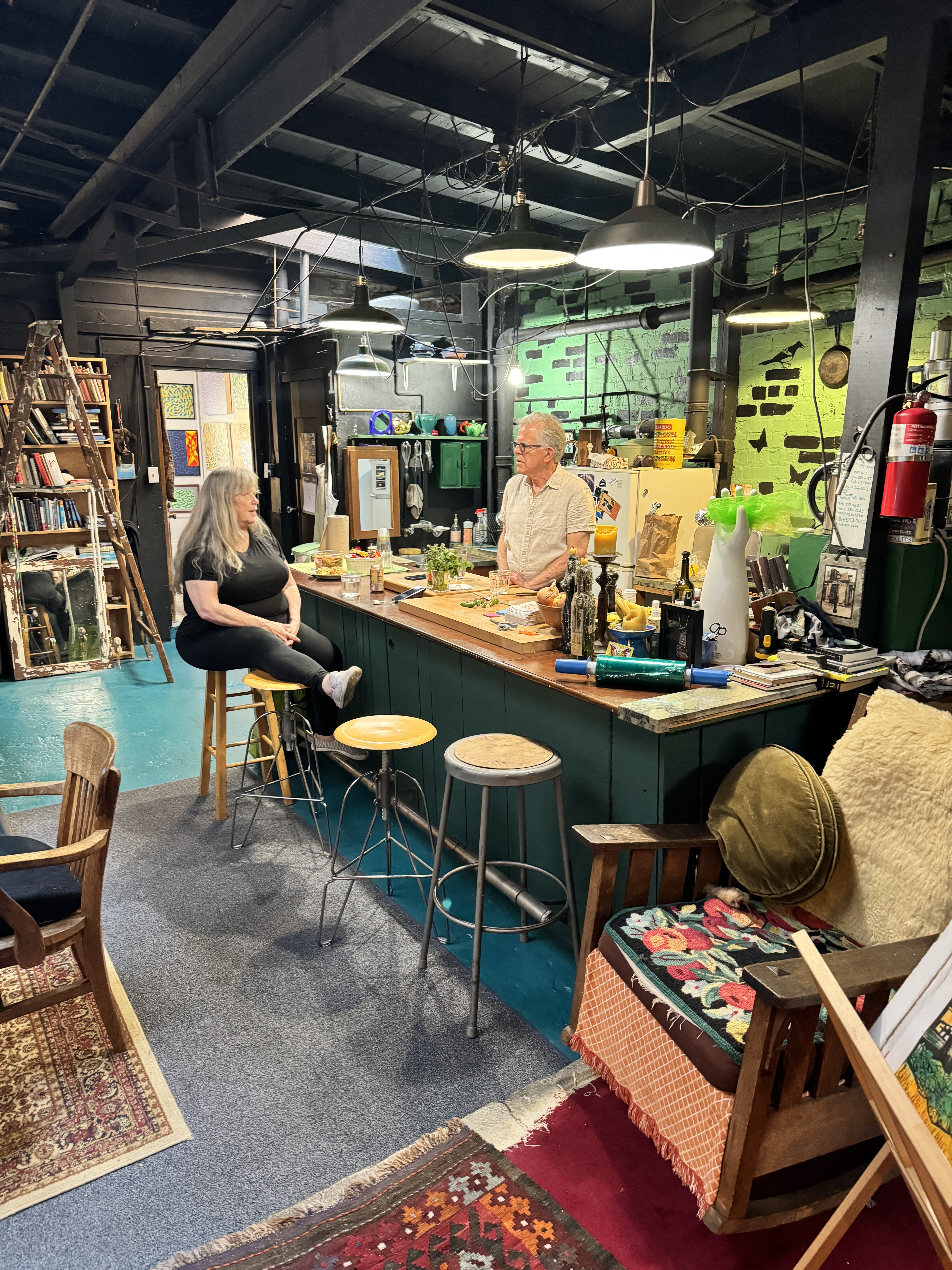
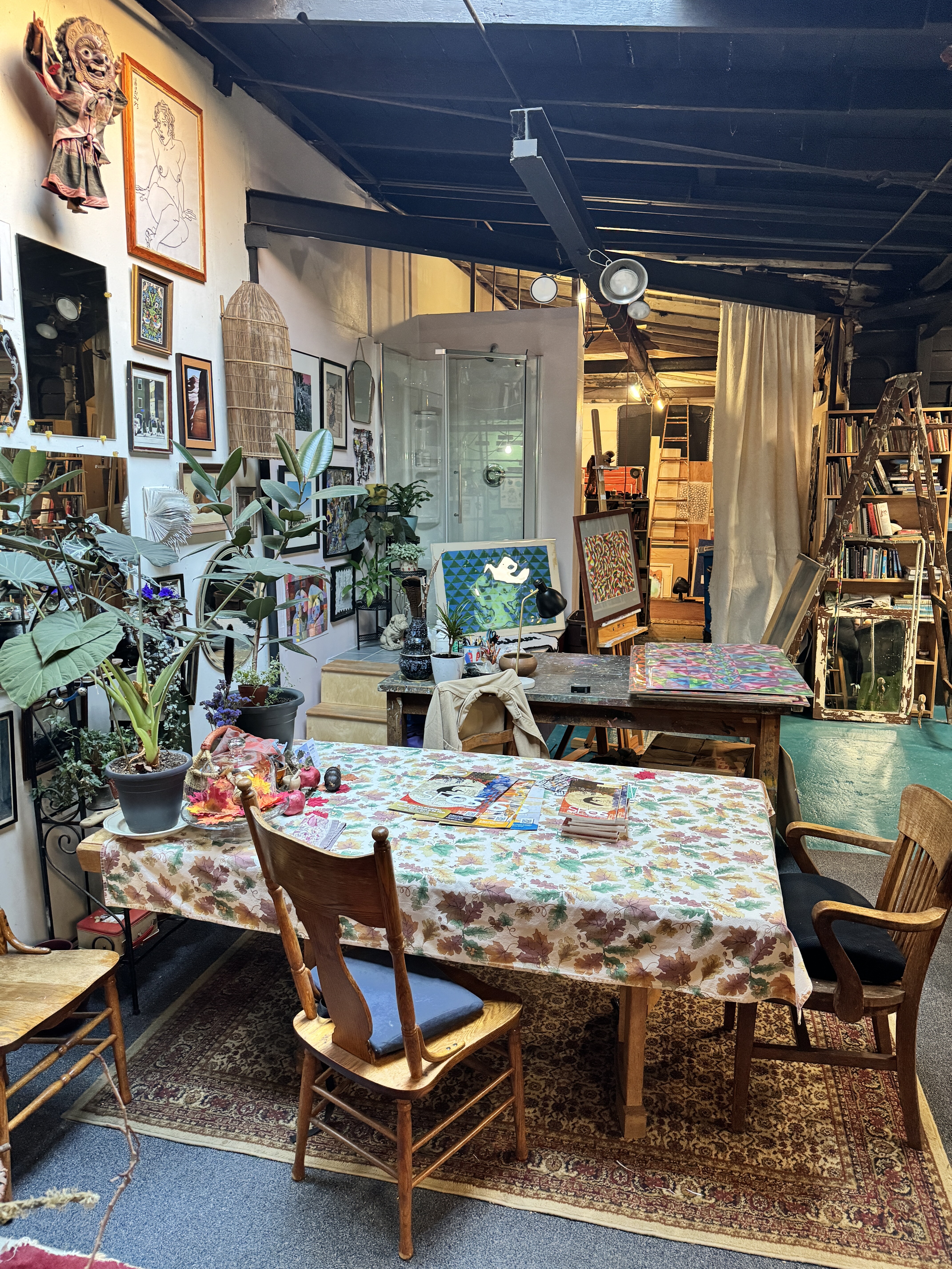
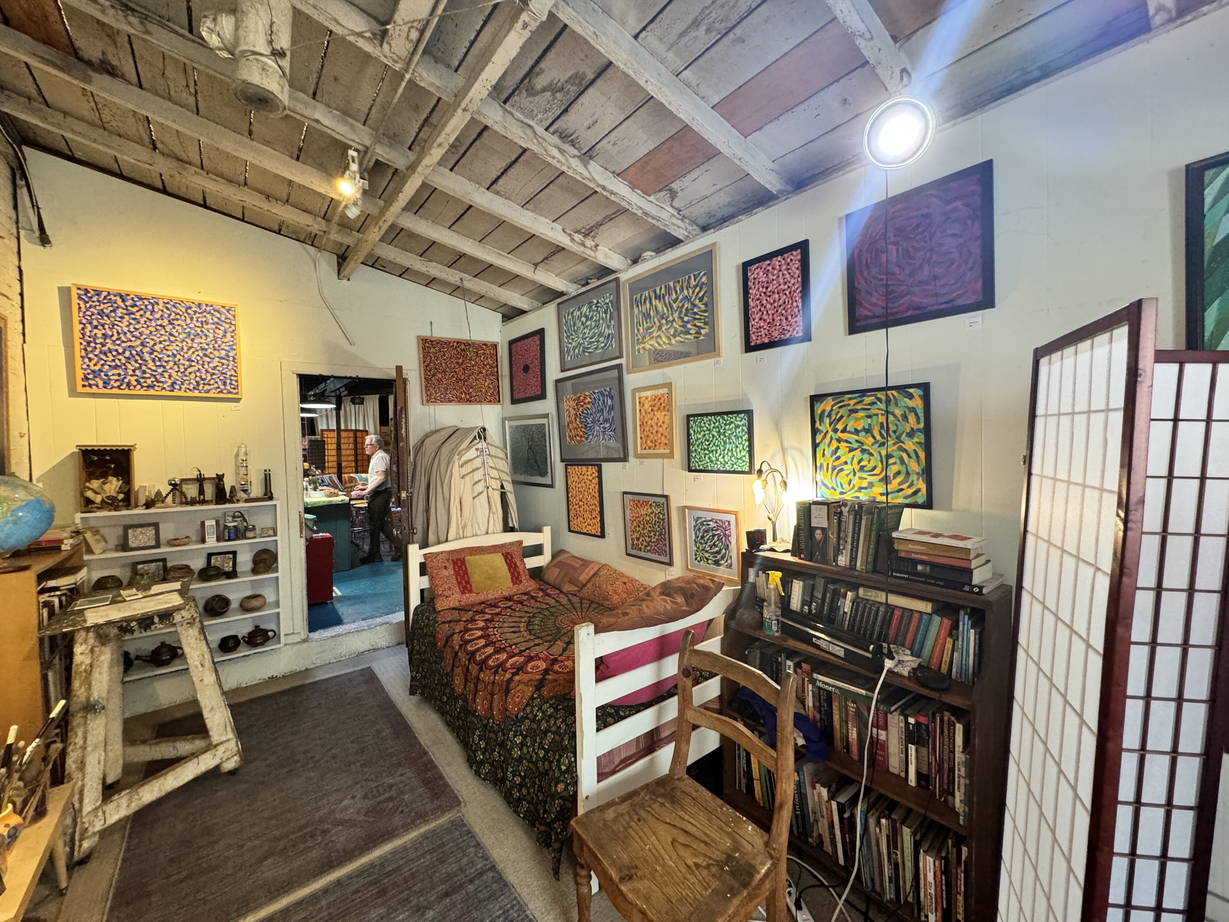
00:00
Eleanor and I bought this piece from Barbara Size Love at Open Studios in San Francisco in October of 2024.
00:12
We visited Barbara and her husband Gordon Studio in Soma, I think, in their home, slash studio.
00:23
And we loved the building, the red of the freeway and and then the the the the people who are all living in the homeless tents underneath it.
00:38
So sort of living above in the structured building, living below in the unstructured buildings.
00:44
The red, this is a print. It was done with several different color combinations for the sky and the under the freeway.
00:53
We like the red.
00:55
So there it is.
00:57
Nice.
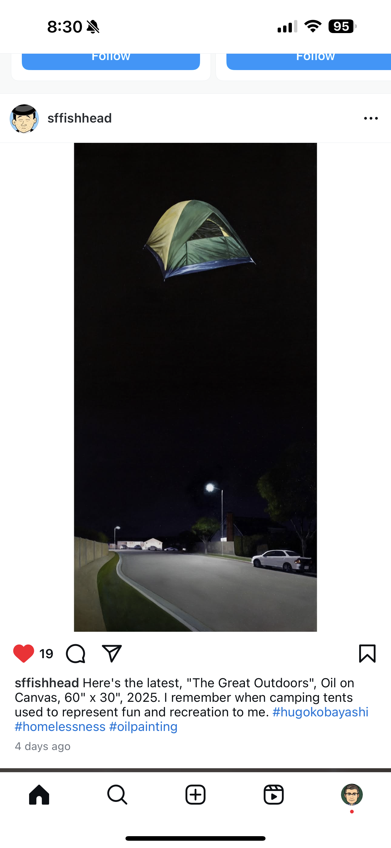
3/16/25 - just saw this on social media - Hugo Kobayashi is an artist that my friend collects
[ 2024-10-22 11:59:58 ]
I’ll Take A Case - Bob Johnson - 1992 - signed 2024
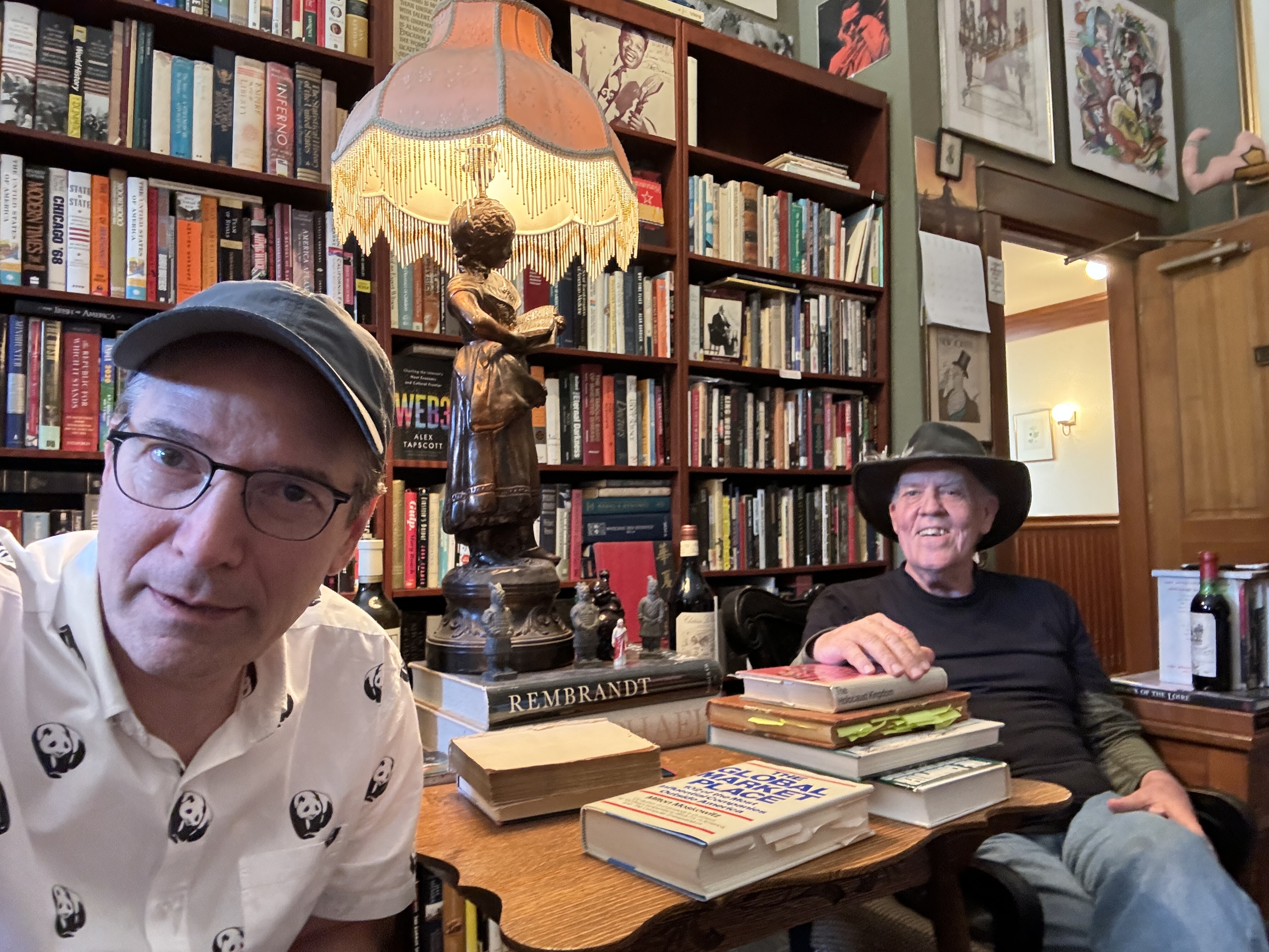
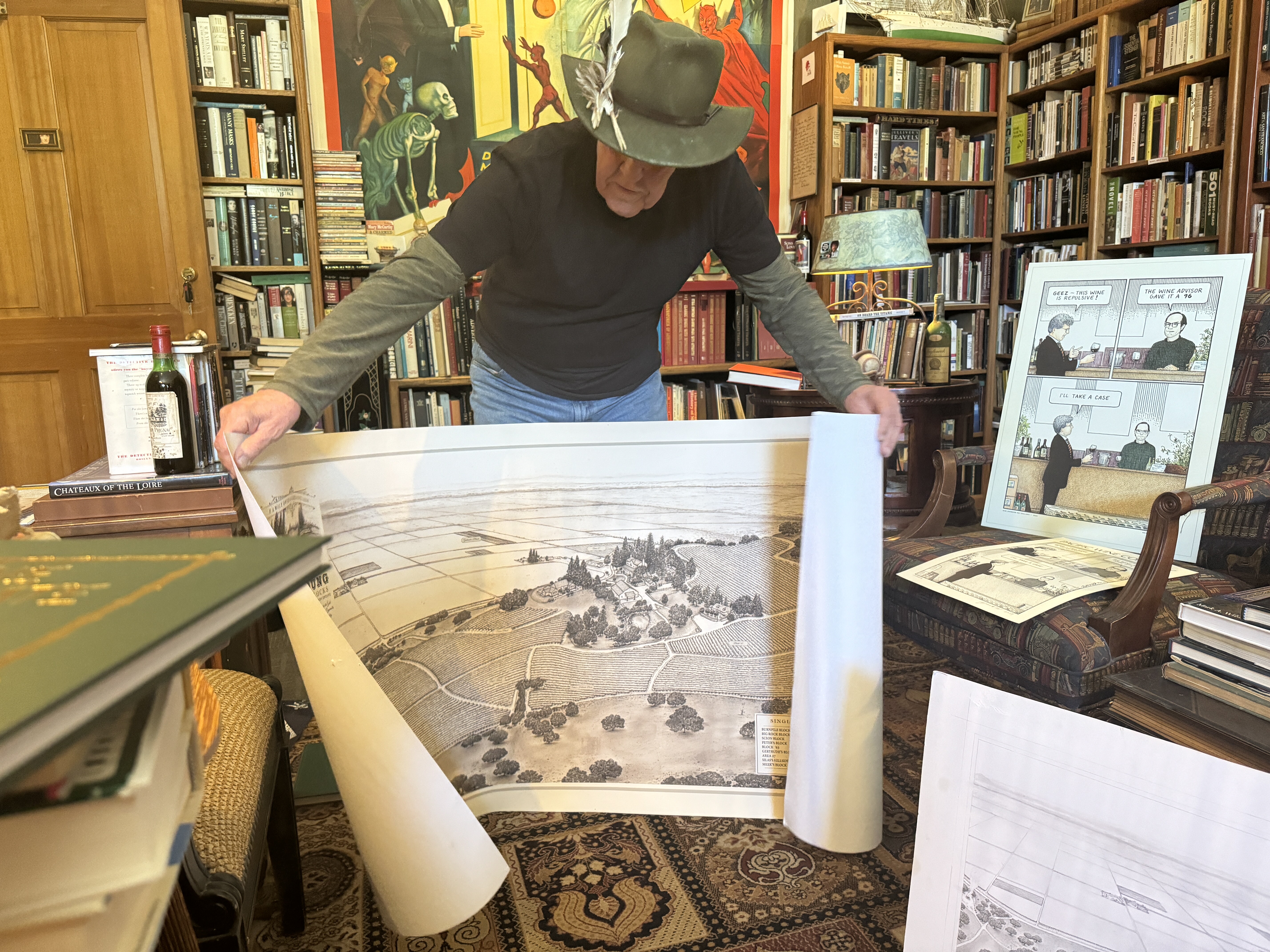
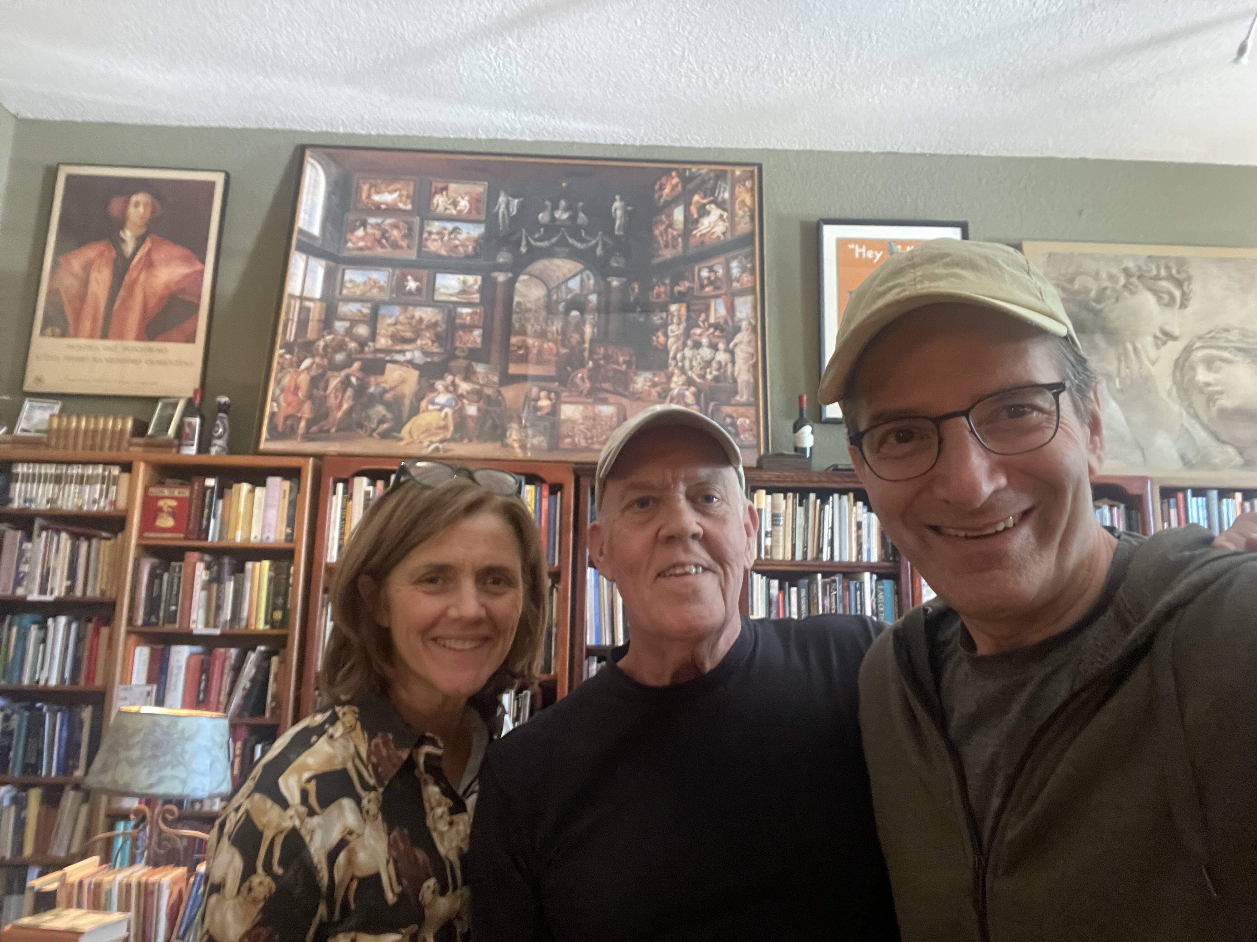
Another print we bought from Bob Johnson. He calls his place The Library of Shipwrecked Books and it’s one of my favorite places to visit when we go to Healdsburg. Comfortable chairs, lots of books and conversation with Bob, who a creative and adventurous spirit.


[ 2025-05-31 13:49:05 ]
Picasso…Party of Four - Bob Johnson
We bought this print in 2023 from Bob Johnson, artist, bookseller, and raconteur. Bob has an amazing library / book store on the square in Healdsburg. Bob creates wine labels, cartoon art like this piece and also pictorial maps of vineyards. He read from memory a beautiful poem to us the first time we met him. I just love this guy.


Window by John Joy - 2015
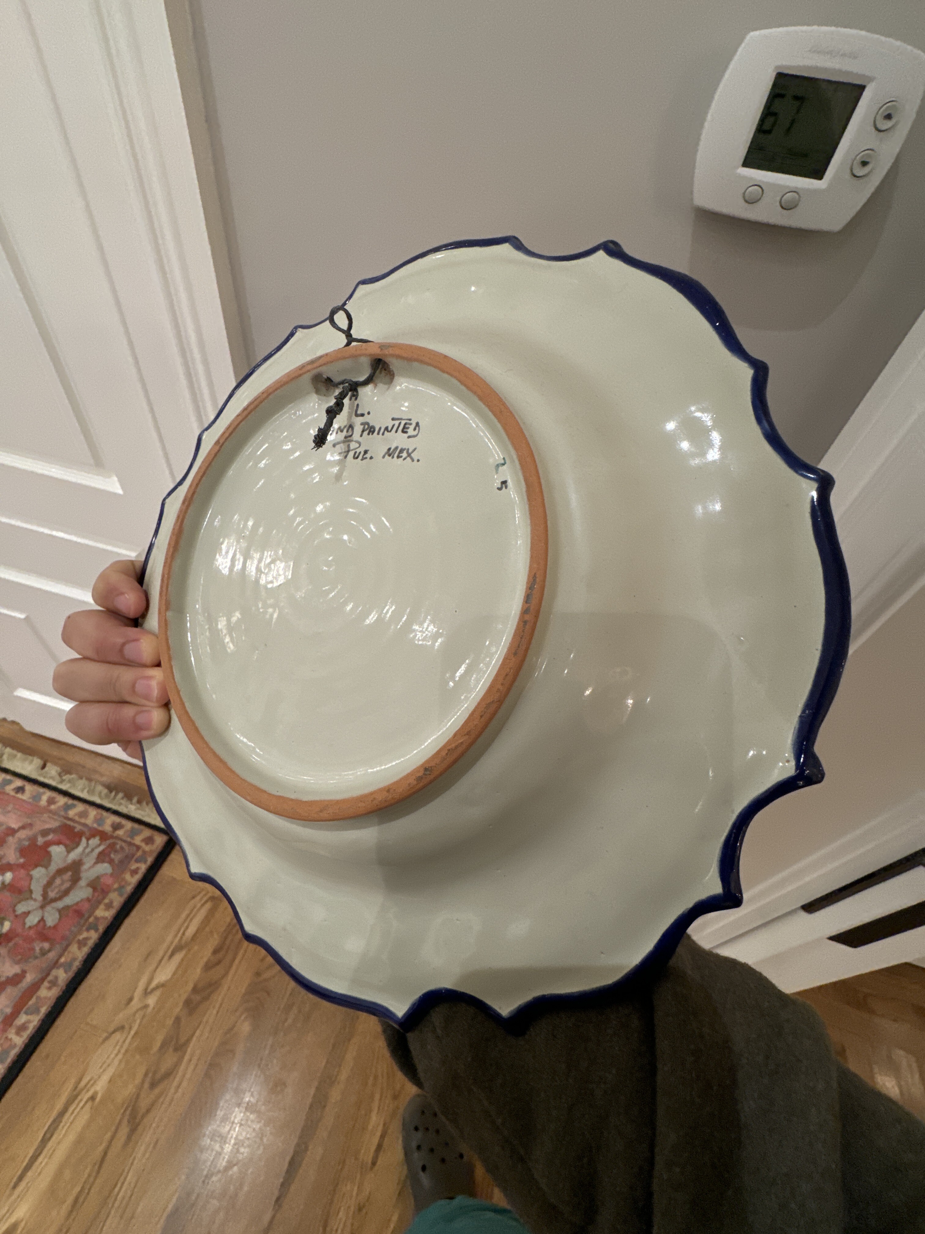
Plate - Mexico
[ 2025-08-24 15:21:31 ]
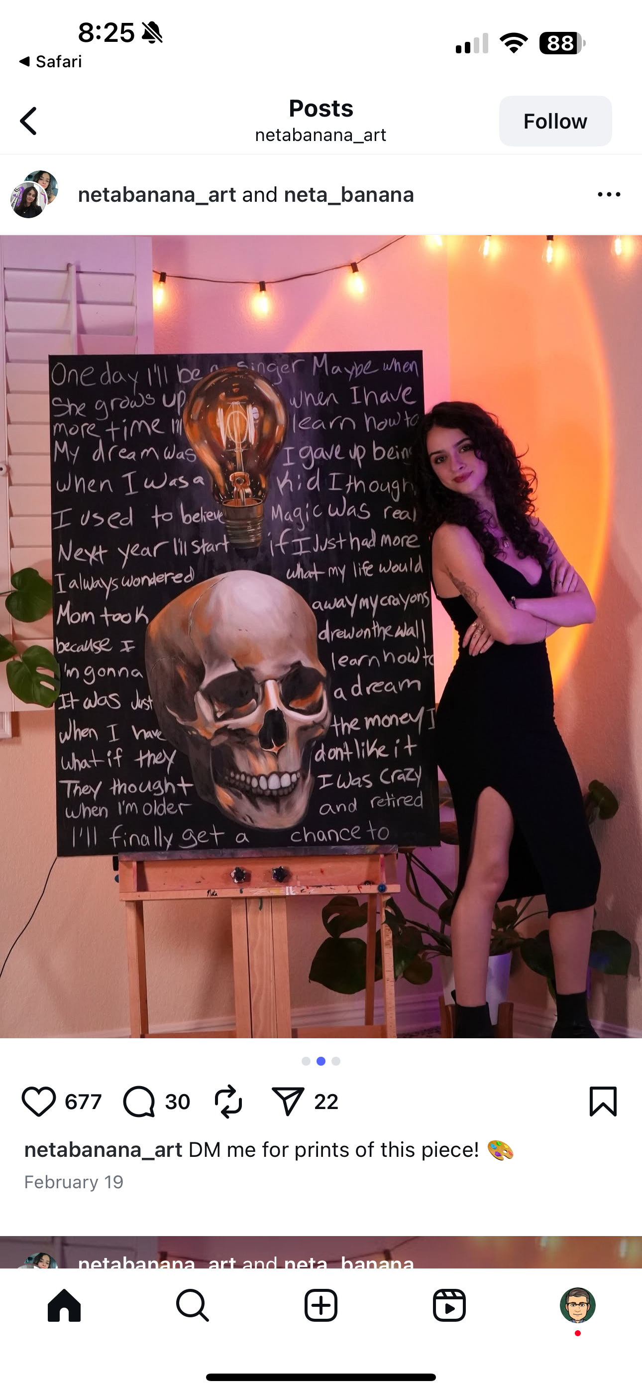
Israeli-born artist Neta Maman is a contemporary painter who divides her time between Los Angeles and the Tampa Bay area, creating highly expressive, color-saturated works that merge pop culture, personal narrative, and symbolism. A self-taught artist, she has built her practice through independent study and continuous experimentation, developing a visual language that combines bold portraiture, graphic motifs, and text to explore identity, femininity, and emotional resilience.instagram+4
Working under the moniker “Neta Banana,” Maman shares much of her work through online platforms, where her paintings and prints have attracted an international audience and collectors. She exhibits through art fairs and digital galleries such as Saatchi Art, extending her reach beyond her home studios in California and Florida.instagram+5
Maman’s paintings often feature intense color contrasts and layered imagery that echo both street art and comic aesthetics, while addressing themes like vulnerability, self-protection, and the power of personal myth. Living between Los Angeles and Tampa, she draws inspiration from both coasts—balancing the cinematic, urban energy of Southern California with the vibrant, sun-drenched atmosphere of Florida’s Gulf communities to inform the mood and palette of her work.missourimusicnotes.blogspot+3
- https://www.instagram.com/neta_banana/?hl=en
- https://www.instagram.com/netabanana_art/
- https://www.linkedin.com/in/netamaman
- https://missourimusicnotes.blogspot.com/2025/04/when-instagram-ad-knows-your-musical.html
- https://www.etsy.com/shop/NetaBananaArt
- https://www.saatchiart.com/account/profile/2652921
- https://www.thesuperfair.com/nyc-24-exhibitor-list
- https://www.saatchiart.com/en-gb/account/profile/2652921
- https://www.facebook.com/NetaBanana/
- https://en.wikipedia.org/wiki/Maman_(sculpture)
- https://x.com/netabanana?lang=en
- https://museum.imj.org.il/artcenter/newsite/en/exhibitions/?artist=Shachar
- https://escholarship.org/content/qt8j67w8h3/qt8j67w8h3_noSplash_f91694a7e7315e865f56c4096ba6078c.pdf
- https://www.facebook.com/groups/3238587069499399/posts/5169590219732398/

[ 2025-08-24 15:21:31 ]
Family Room - 1st Floor - Paper-Bigelow Residence
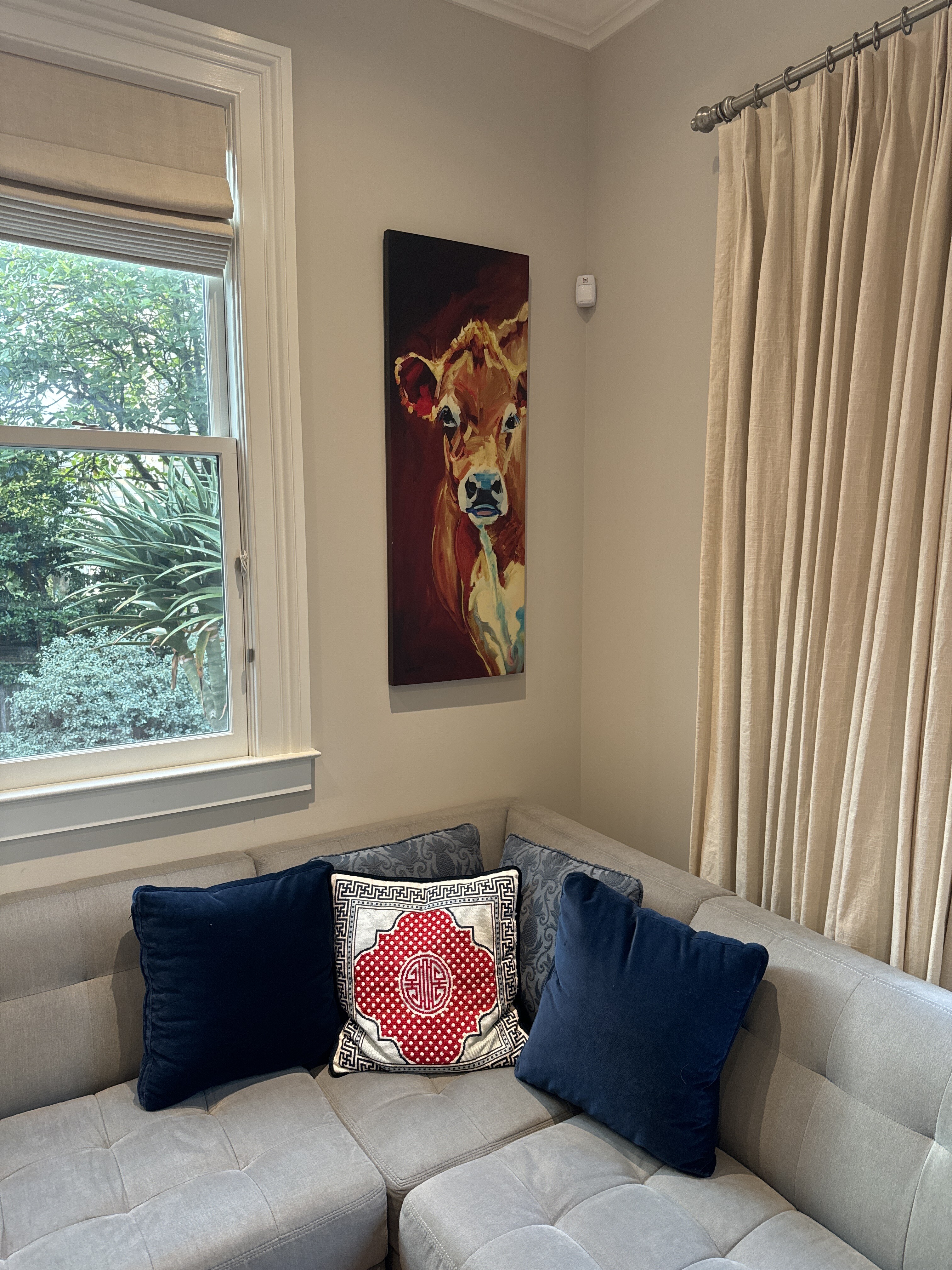
Street Cow - artist unknown
Eleanor found this piece on the street!
00:00
Well, they Eleanor found this piece on the street somewhere, and now it's become part of our collection.
00:07
Reminds me also of her grid that she bought it Flick or Blick or something, and framed it, and it's now also renowned piece of our collection.
[ 2024-05-21 05:37:18 ]
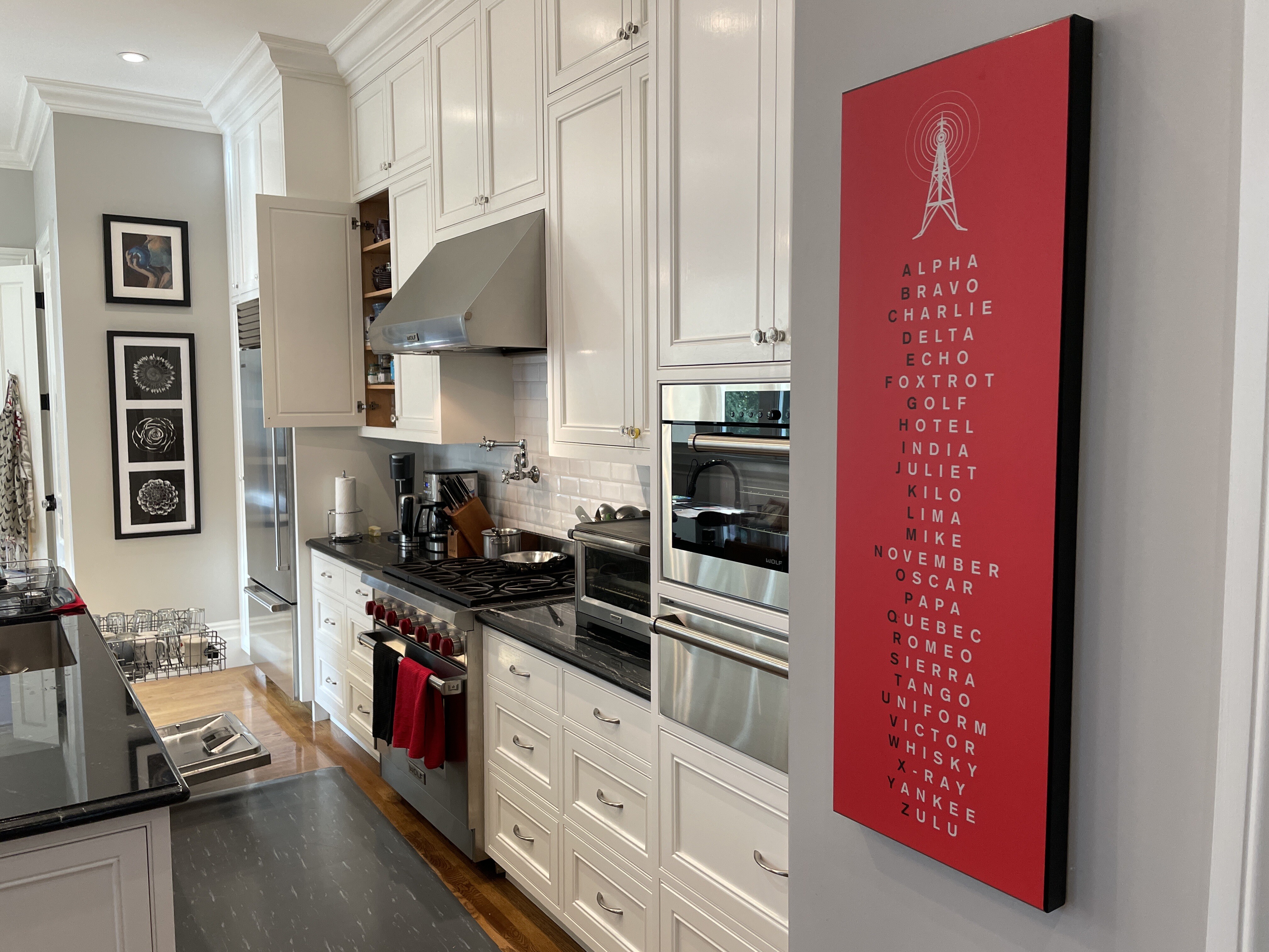
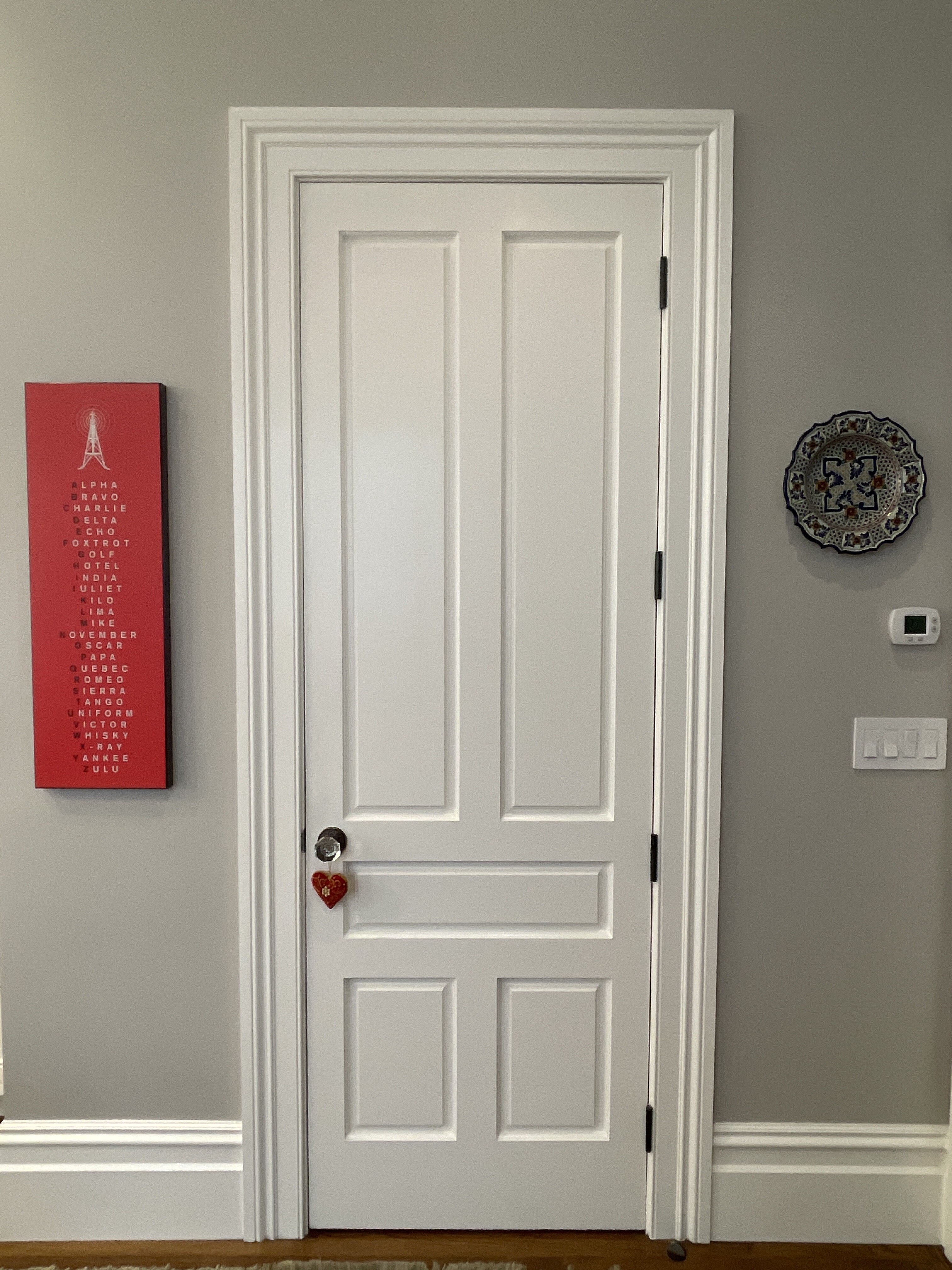
Aviator Alphabet
Eleanor and Tessa McMillan were in the brokerage business just out of college and they would call each other by their aviator alphabet initials, so they were EB and TB, because Tessa was pre-marriage Tessa Barrel.
Btw, I am Tango Papa. Reminds me a bit of Mother Night, right Lissa Healey?
The World - Cornelius de Jode - 1593
Bought this map on Etsy. Framed at Cheap Pete’s, which is usually not cheap, but in this case it was. Super heavy frame.
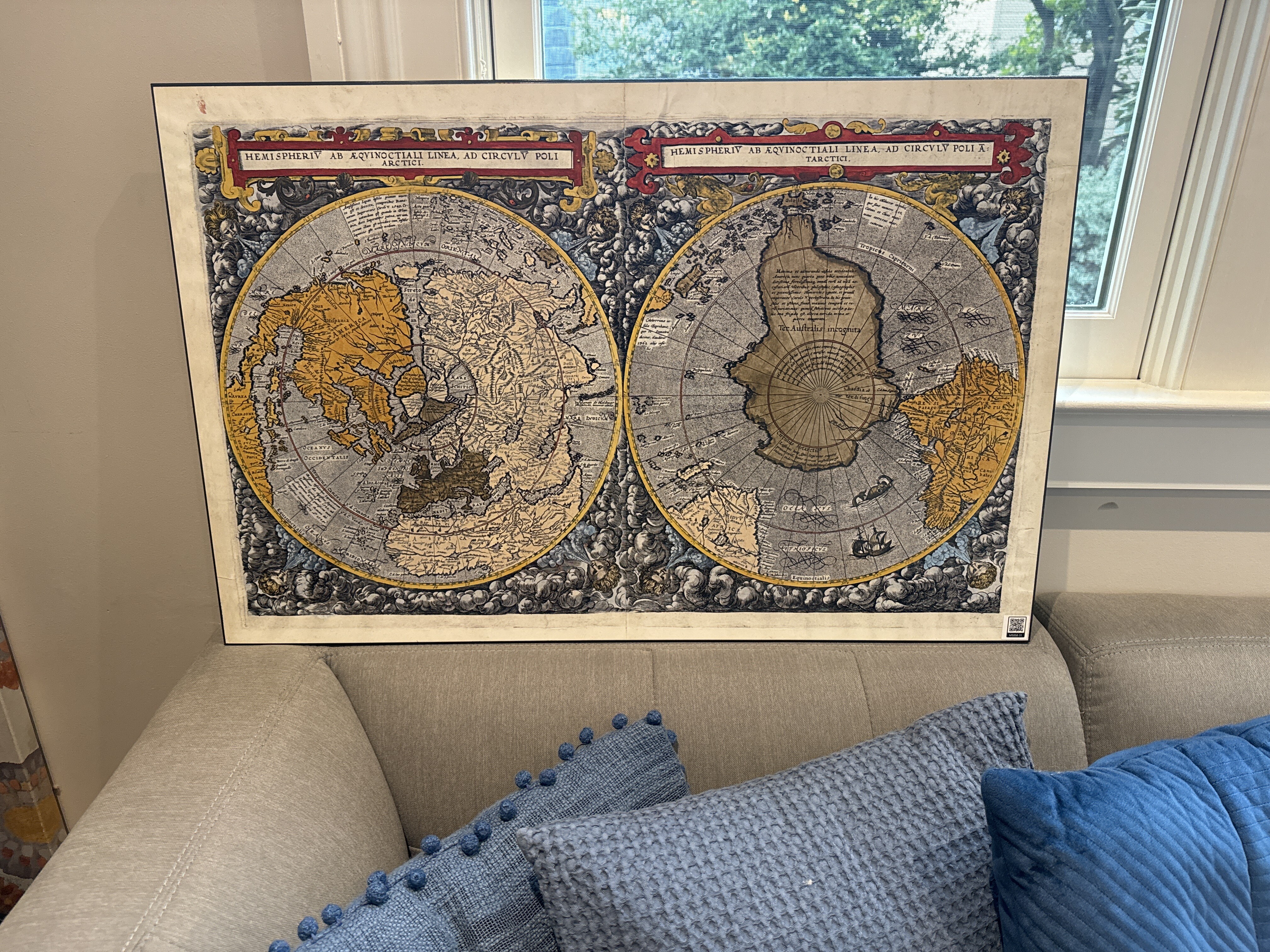
Speculum Orbis Terrae ("Mirror of the World") was an atlas published by Cornelis de Jode in Antwerp in 1593. The atlas was largely a continuation of unfinished works of his father, Gerard de Jode, who died in 1591. Contemporary scholars consider many of de Jode's maps to be superior, both in detail and style, to those of the competing atlas of the time, Theatrum Orbis Terrarum, by Ortelius. However, de Jode's atlas never sold well. After de Jode's death in 1600, the engraving plates were sold to J. B. Vrients (who also owned the Ortelius plates), and the complete work was not published again. Wikipedia
Cornelis de Jode (1568 – 17 October 1600) was a cartographer, engraver and publisher from Antwerp. He was the son of Gerard de Jode, also a cartographer. Cornelis studied science at Academy of Douai. When his father died in 1591, Cornelis de Jode took over the work on his father's uncompleted atlas, which he eventually published in 1593 as Speculum Orbis Terrae. Despite that contemporary scholars consider many of de Jode's maps to be copies of both Portuguese and Spanish cartographers in detail and style of atlas of the time Theatrum Orbis Terrarum by Ortelius. Wikipedia
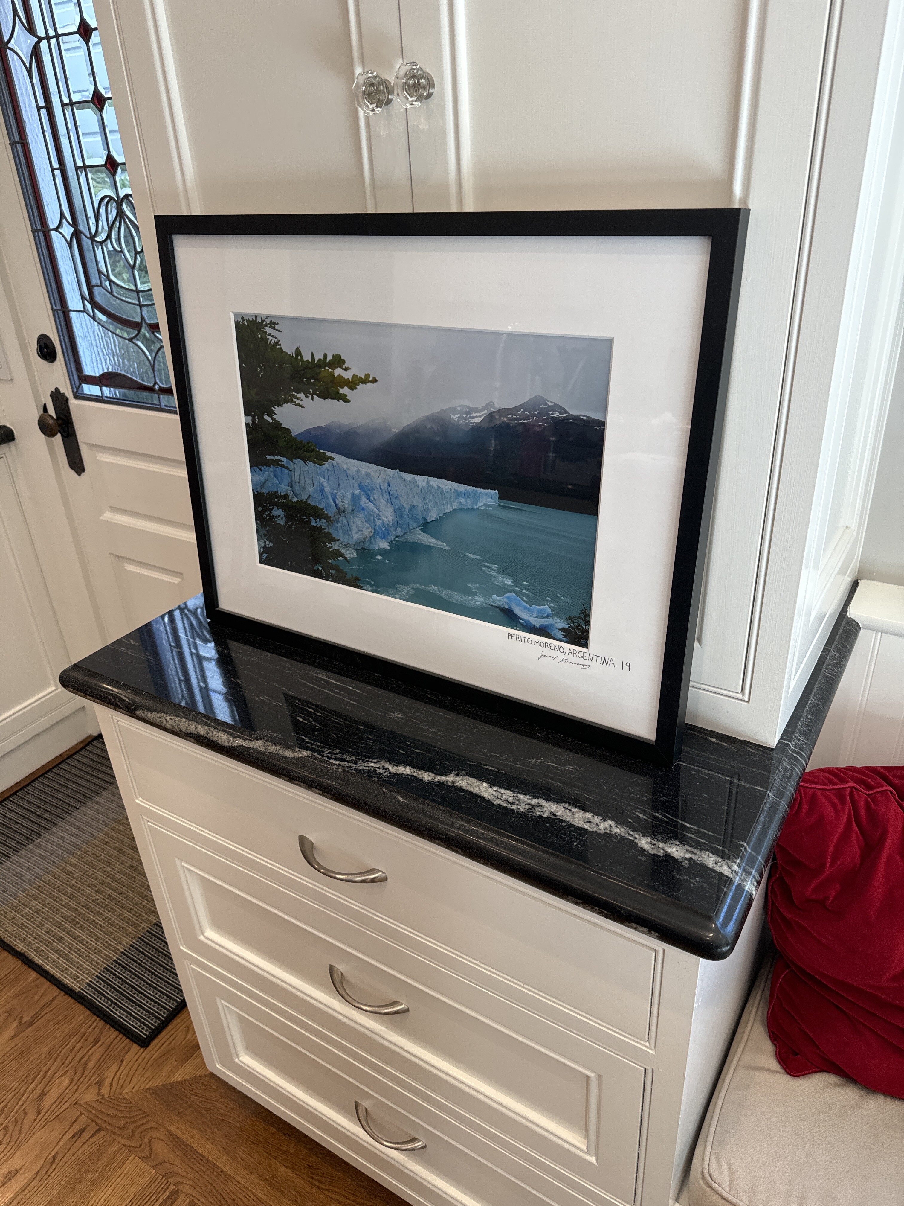
Perito Morena, Argentina - Jackson Karlenzig
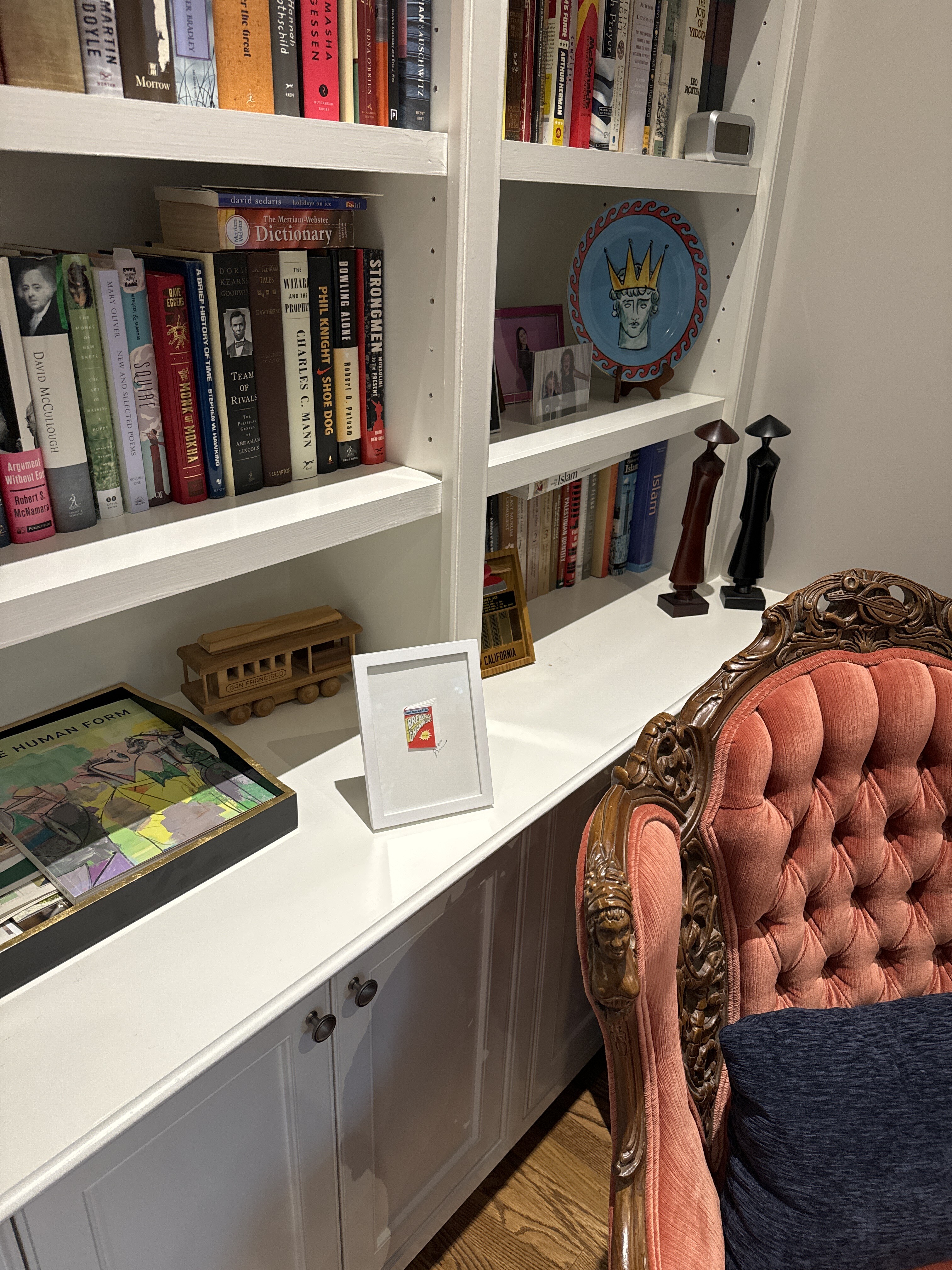
Tiny Book - Suze Riley - 2024
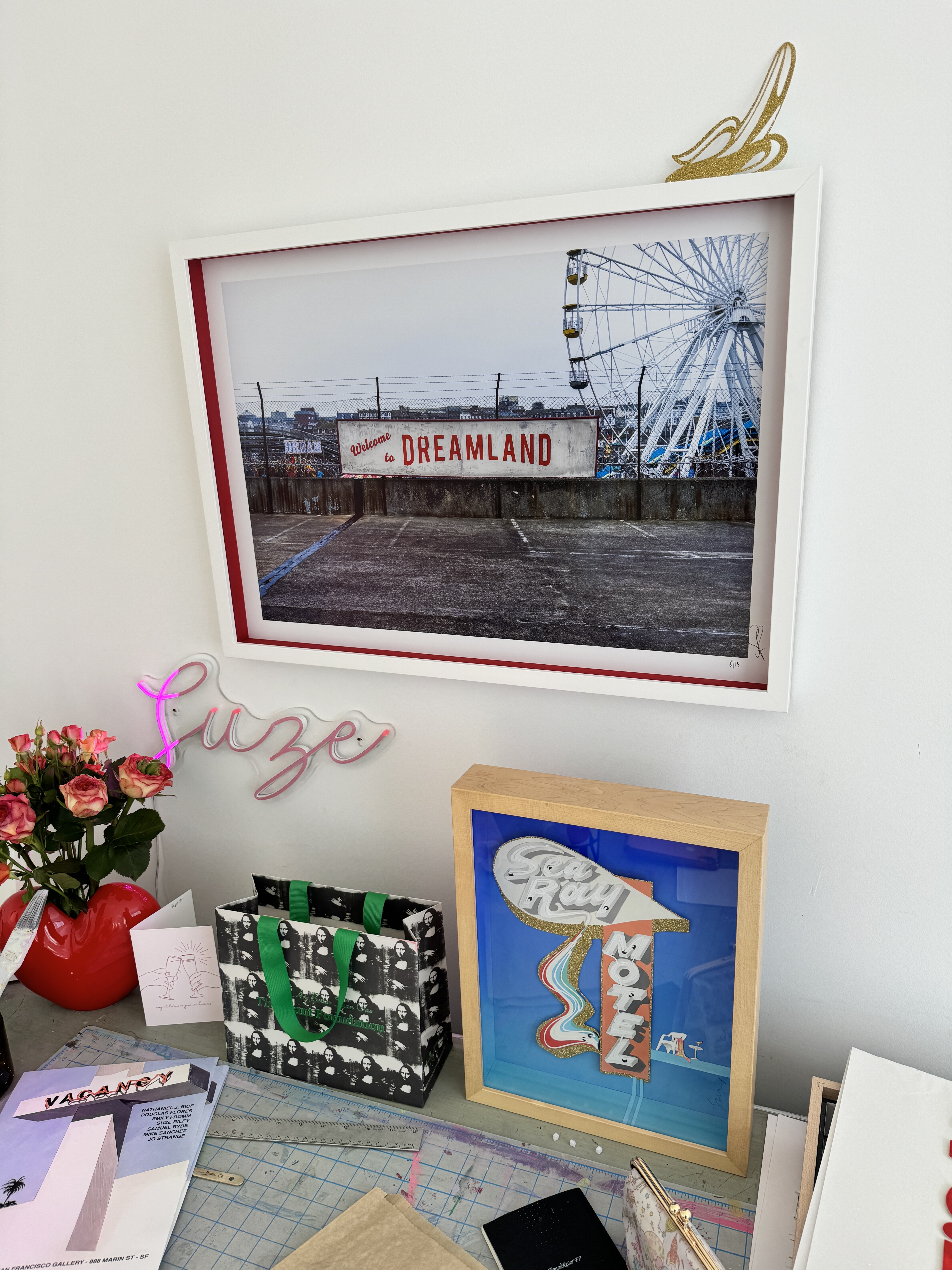
Size Riley is a neighbor, artist, mother of two, wife, triathlete and former graphic design progressional. We love her work and bought this small but mighty piece at Open Studios in October 2024.
https://www.suzecutspaper.com/about-1

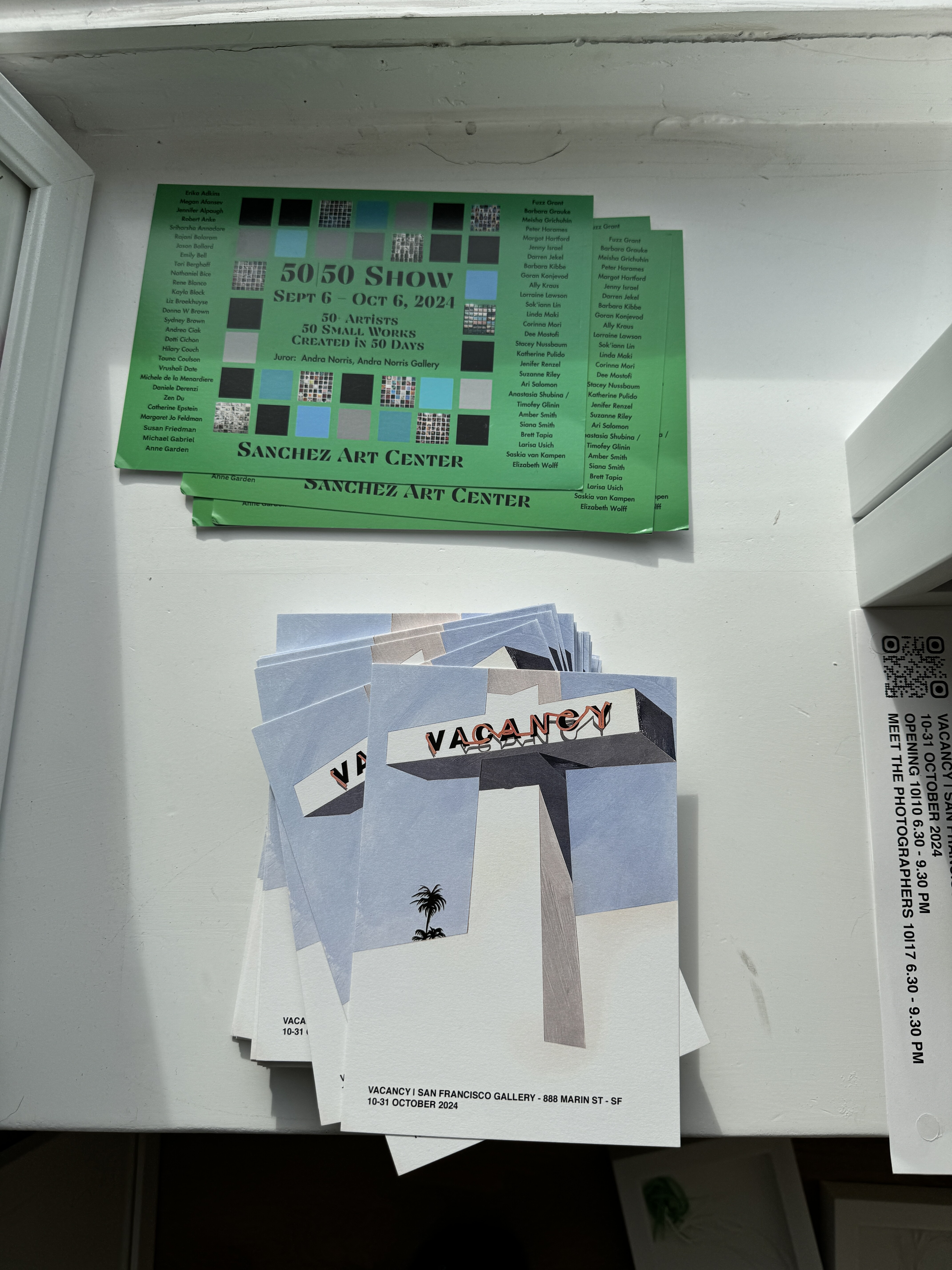
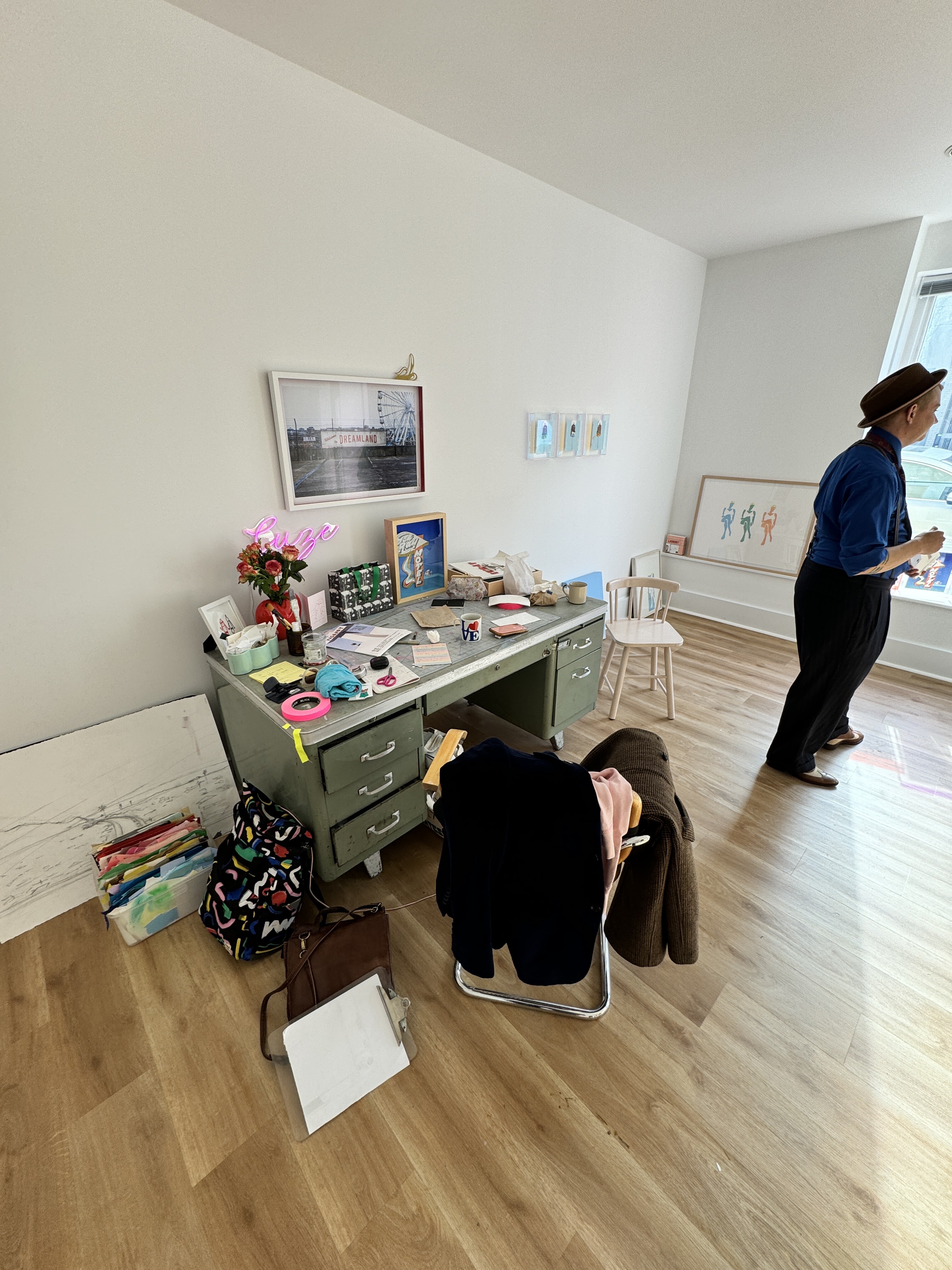
00:00
I went to open studios yesterday and saw Sues riley's office on Devisidero in California, and bought this small, but mighty Peace.
00:16
It's a miniature book of Um Kurd Vannigus Breakfast of Champions.
00:23
And Sus was a before kids was A-I believe was an advertising and maybe design and um has.
00:38
Kids who are now i guess SIX and ten or thereabouts and um got.
00:43
An office six months ago and has been working on her art and um was.
00:50
Really delighted to see her and what she's doing. I've got a few other pictures of her work.
00:57
And Um, she's married to Peter Friends, who is the son of Um Chini Chini Friends, and, oh my goodness, forgetting the father's name.
01:11
But anyway, they live across the street from us, and was great to support a local artist that's hyper local across the street.
01:21
Okay.
[ 2024-09-24 01:51:43 ]
2nd Floor - Paper-Bigelow Residence
Common Areas - 2nd Floor - Paper-Bigelow Residence
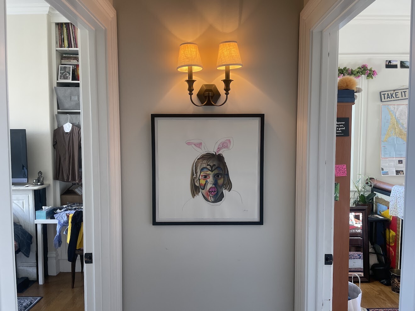
Scary Fun Face - Lily Shanahan
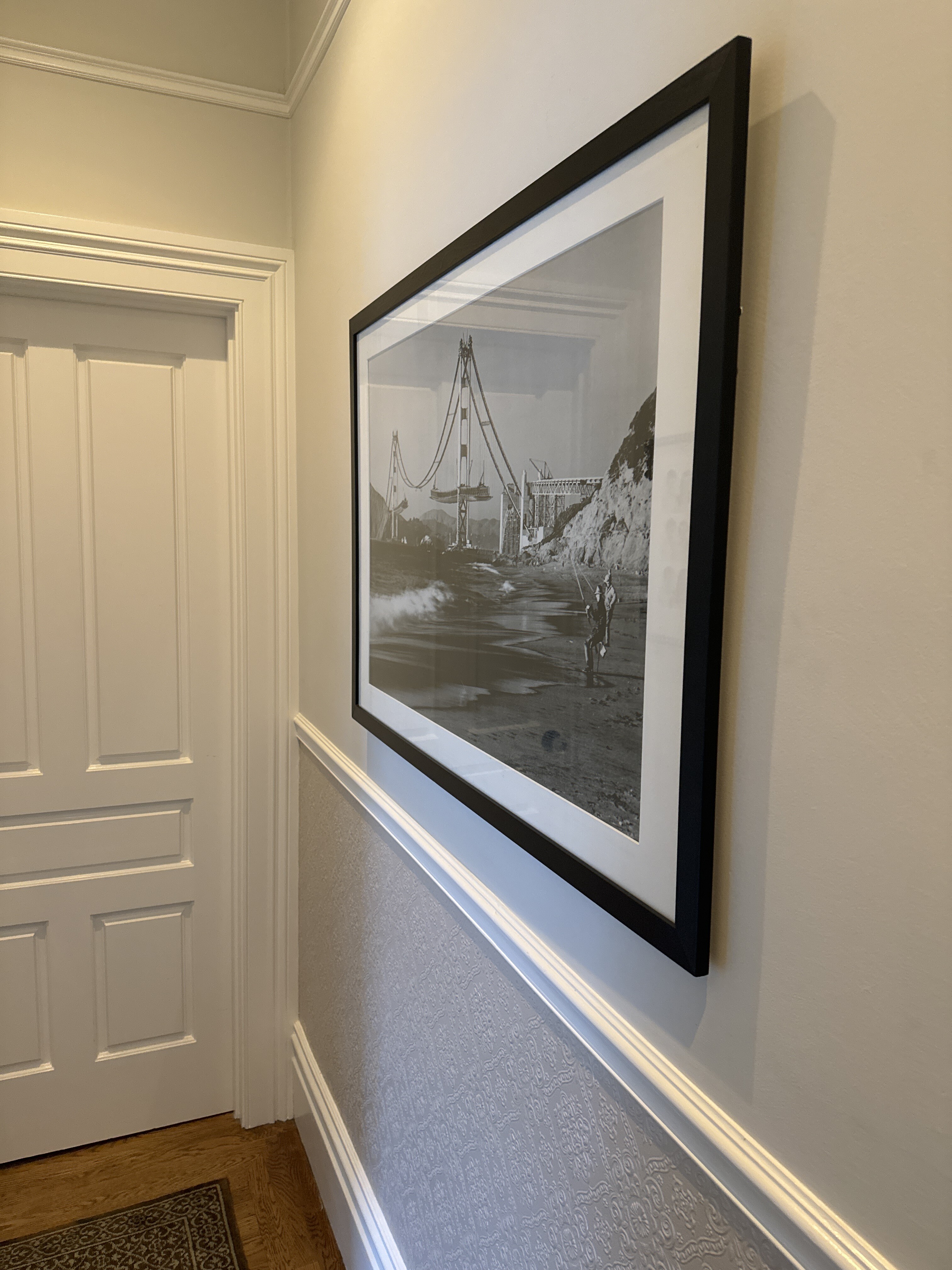
Golden Gate Bridge under construction - 1936
Tom’s Office - Second Floor - Paper-Bigelow Residence
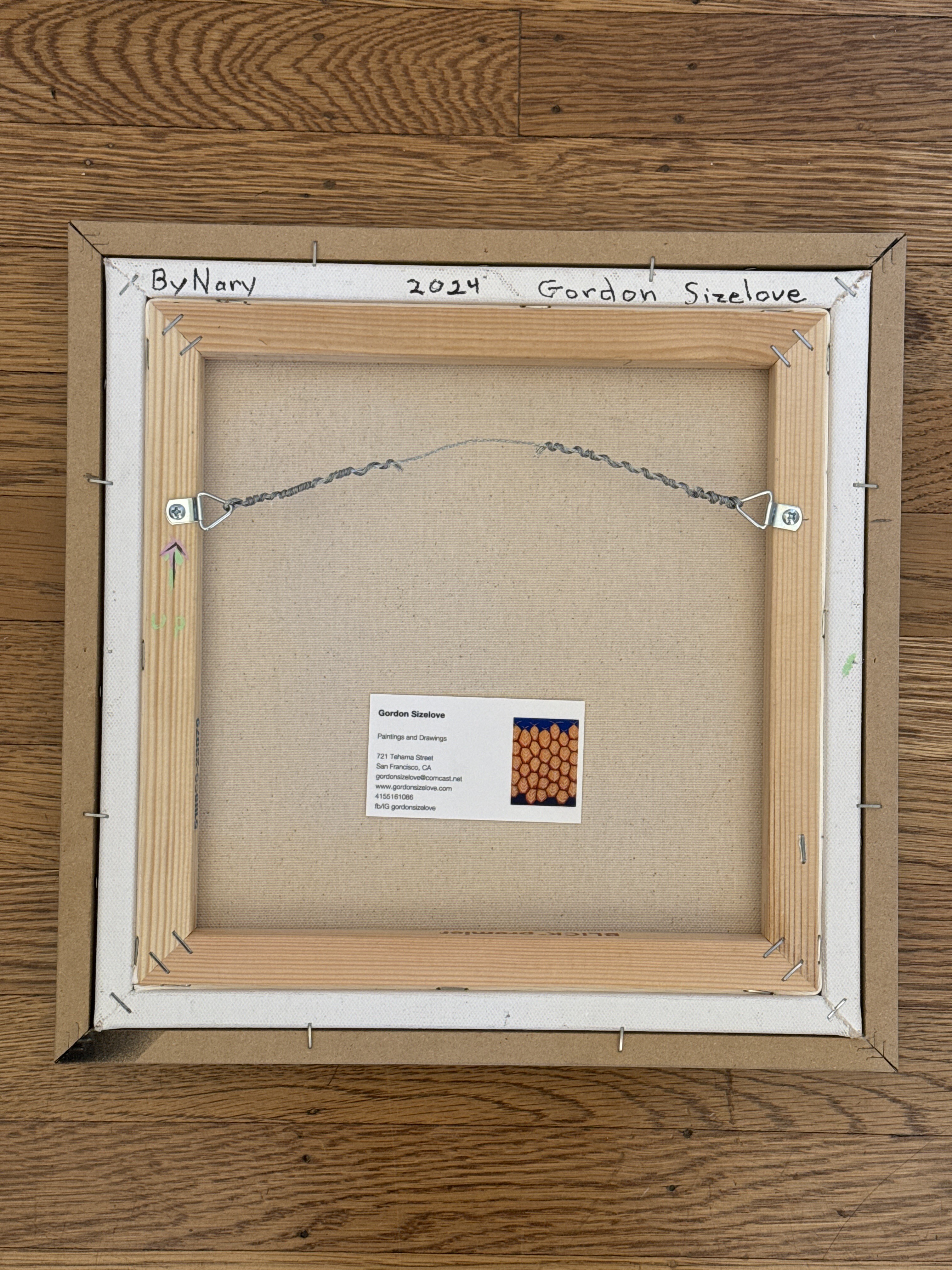
ByNary - Gordon Sizelove - 2024
Eleanor and I bought this piece during open studios in October 2024. We visited Gordon and his wife Barbara at their South of Market home, which is also their studio. They were so very welcoming and kind.
https://www.gordonsizelove.com/
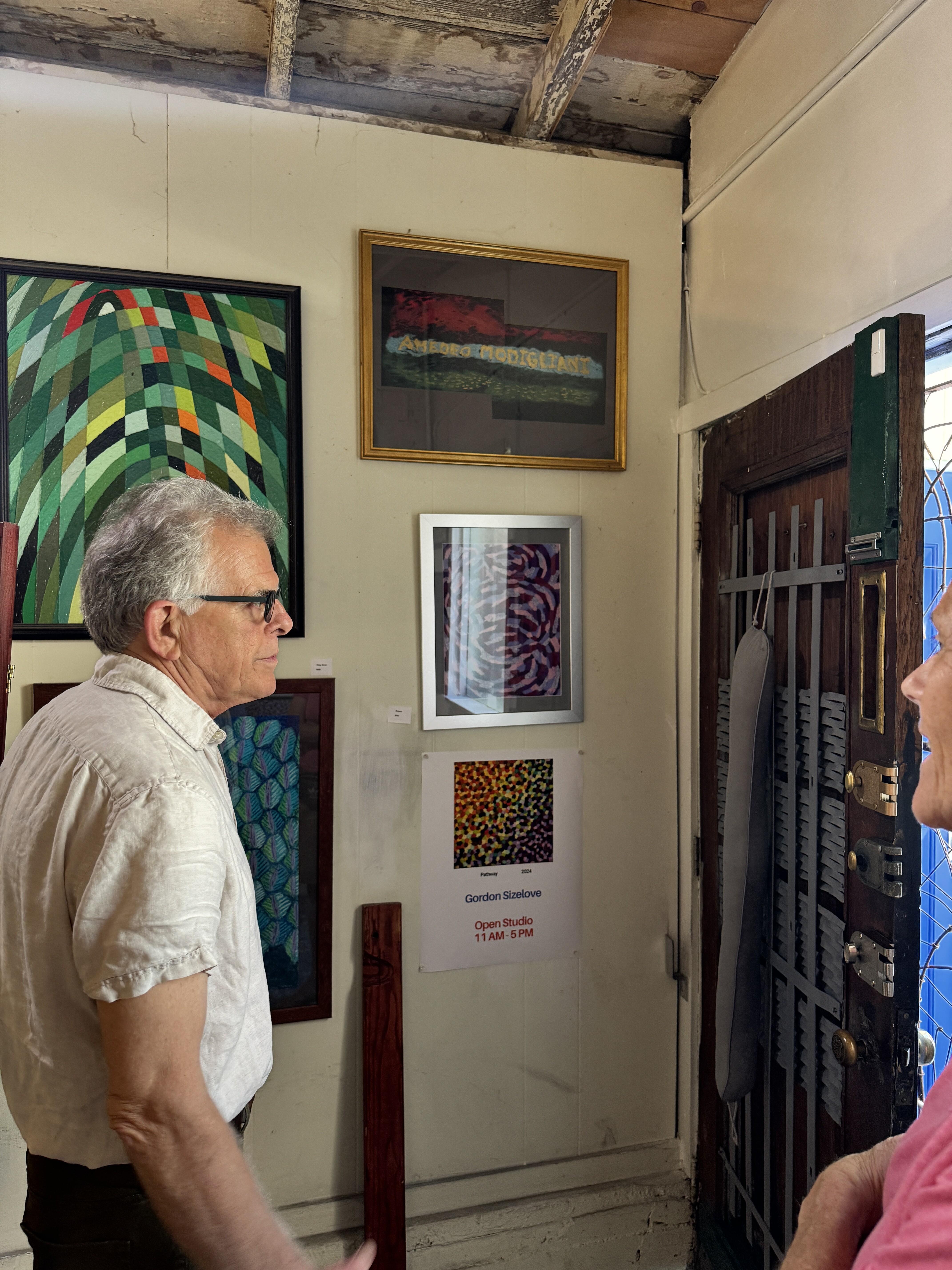
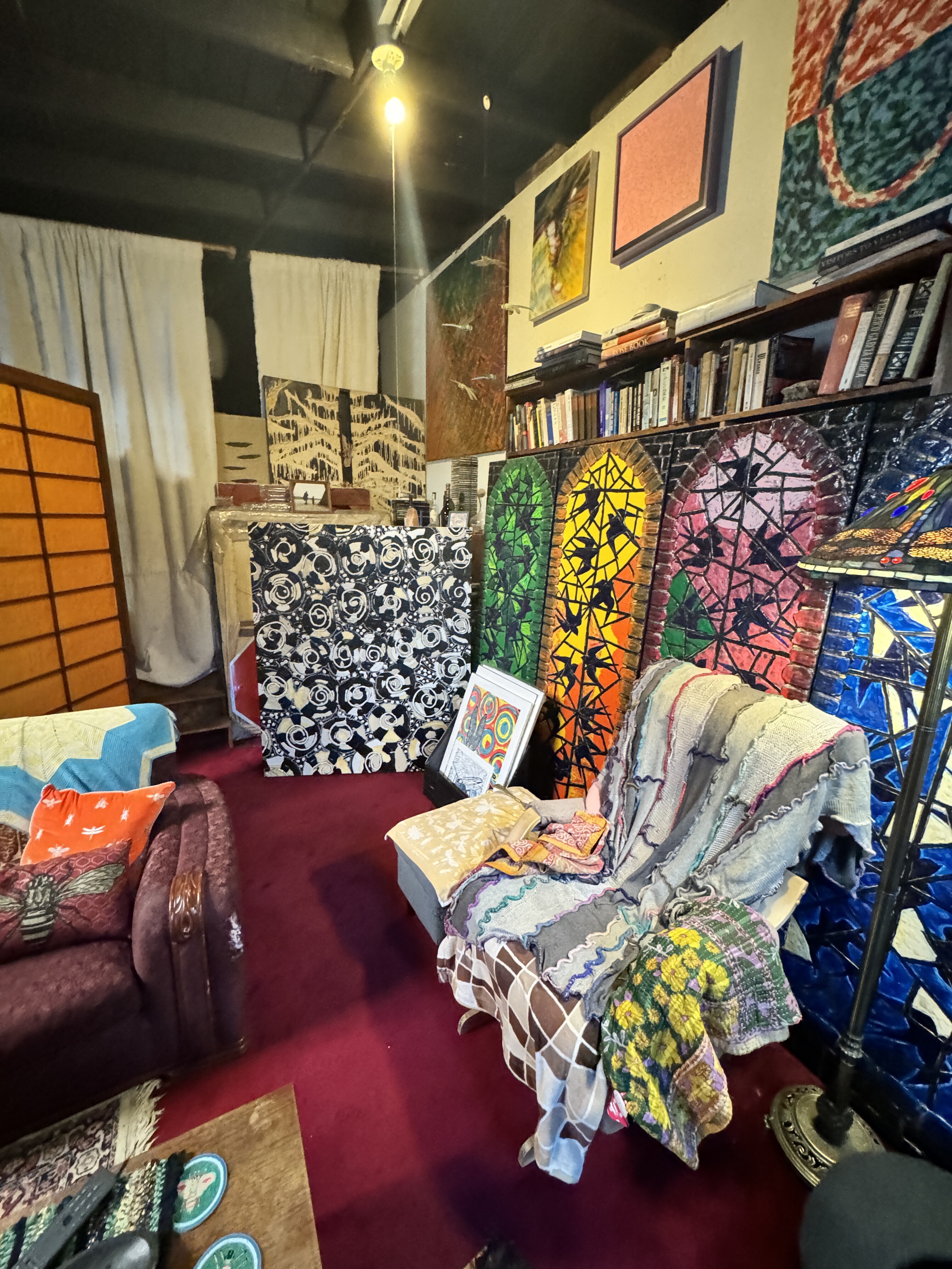
[ 2024-11-03 19:15:42 ]
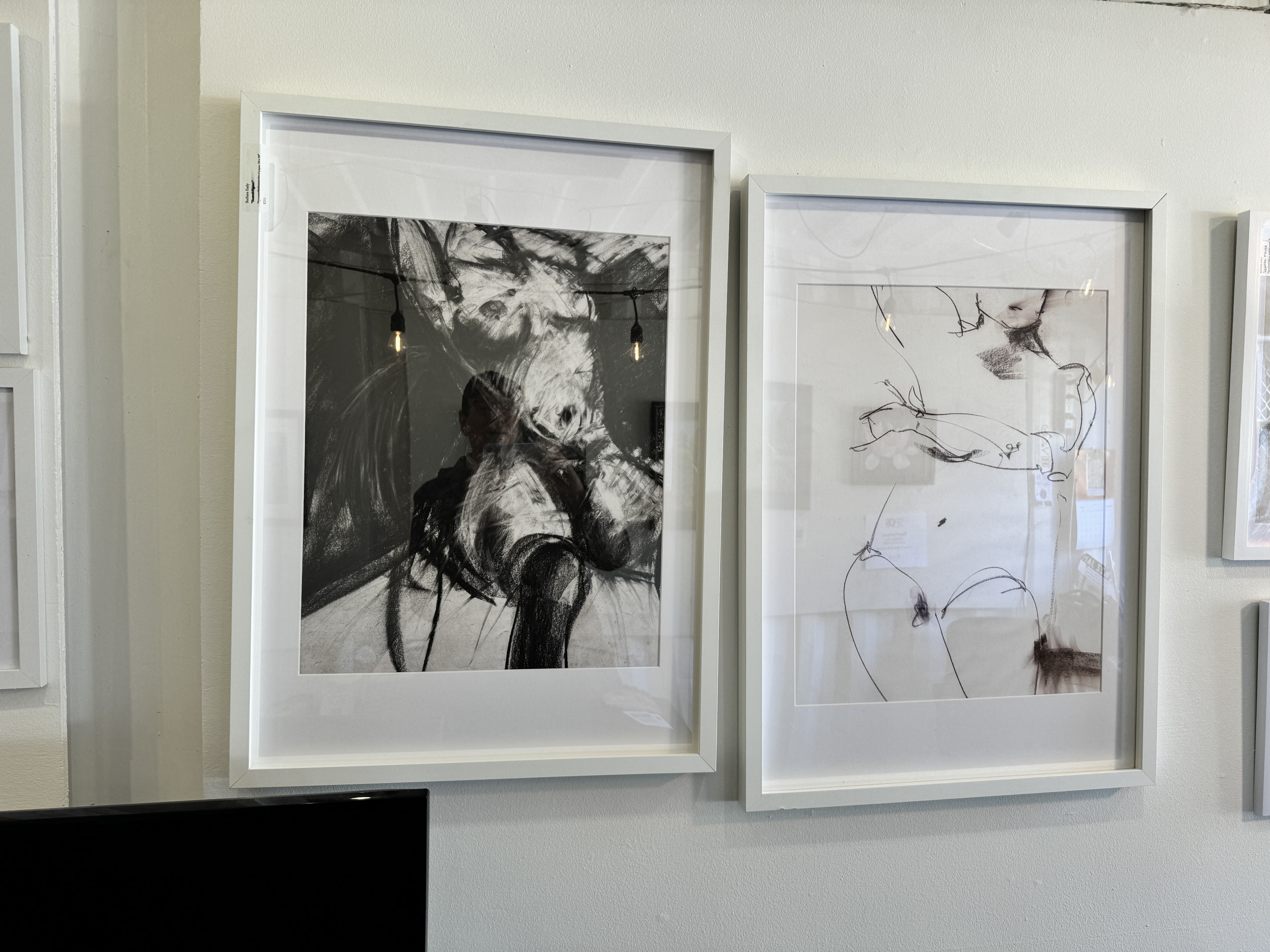
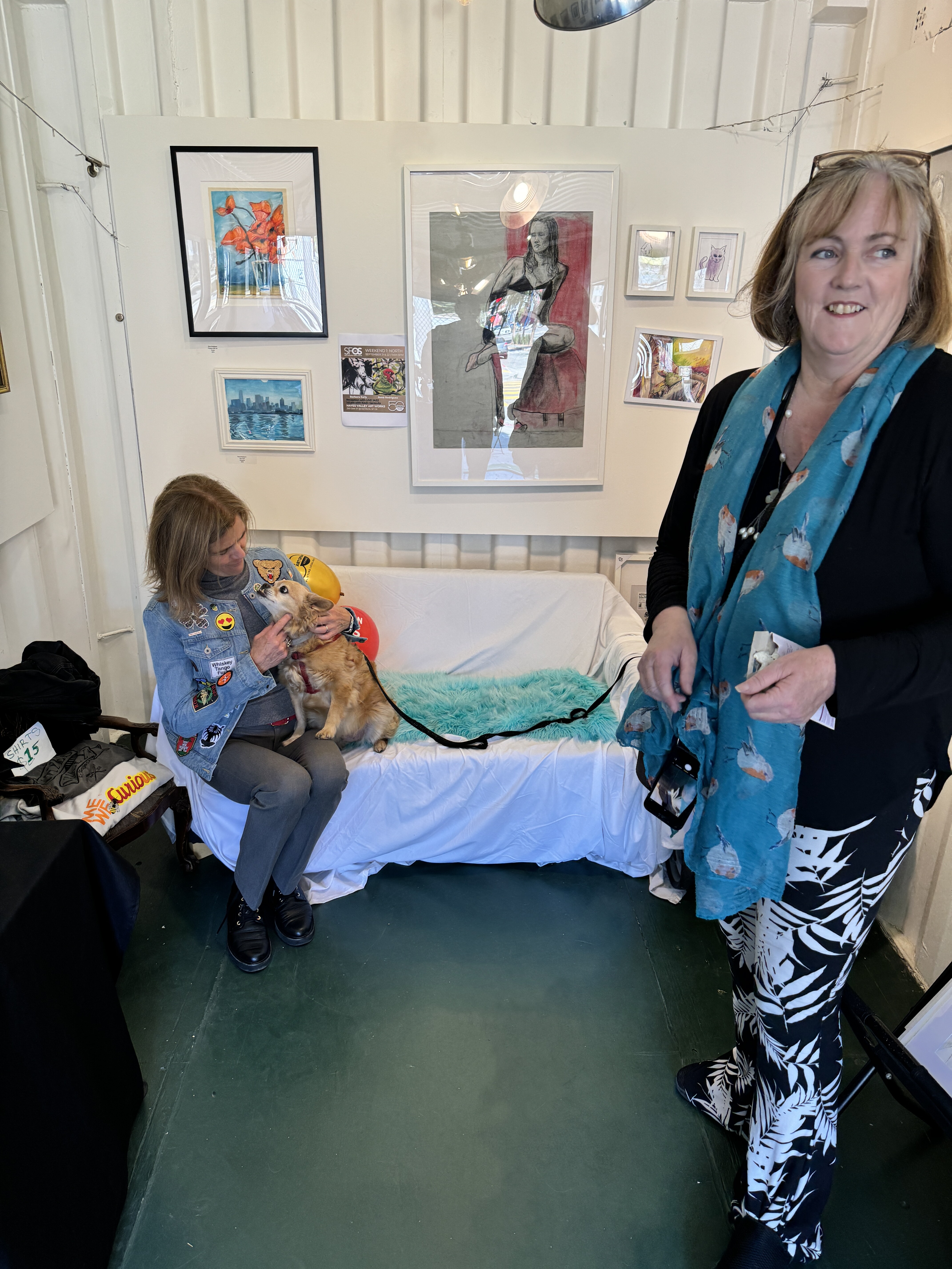
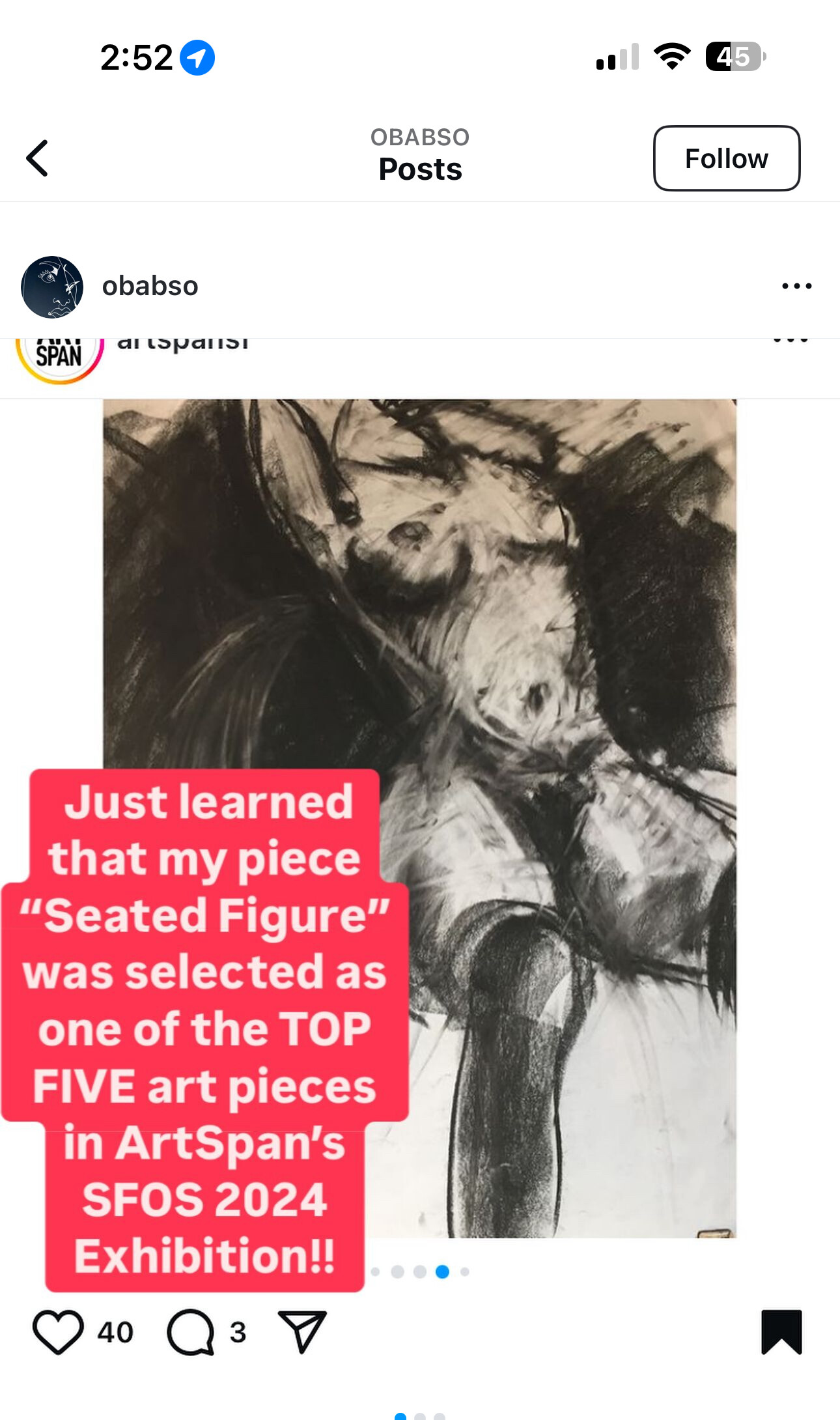
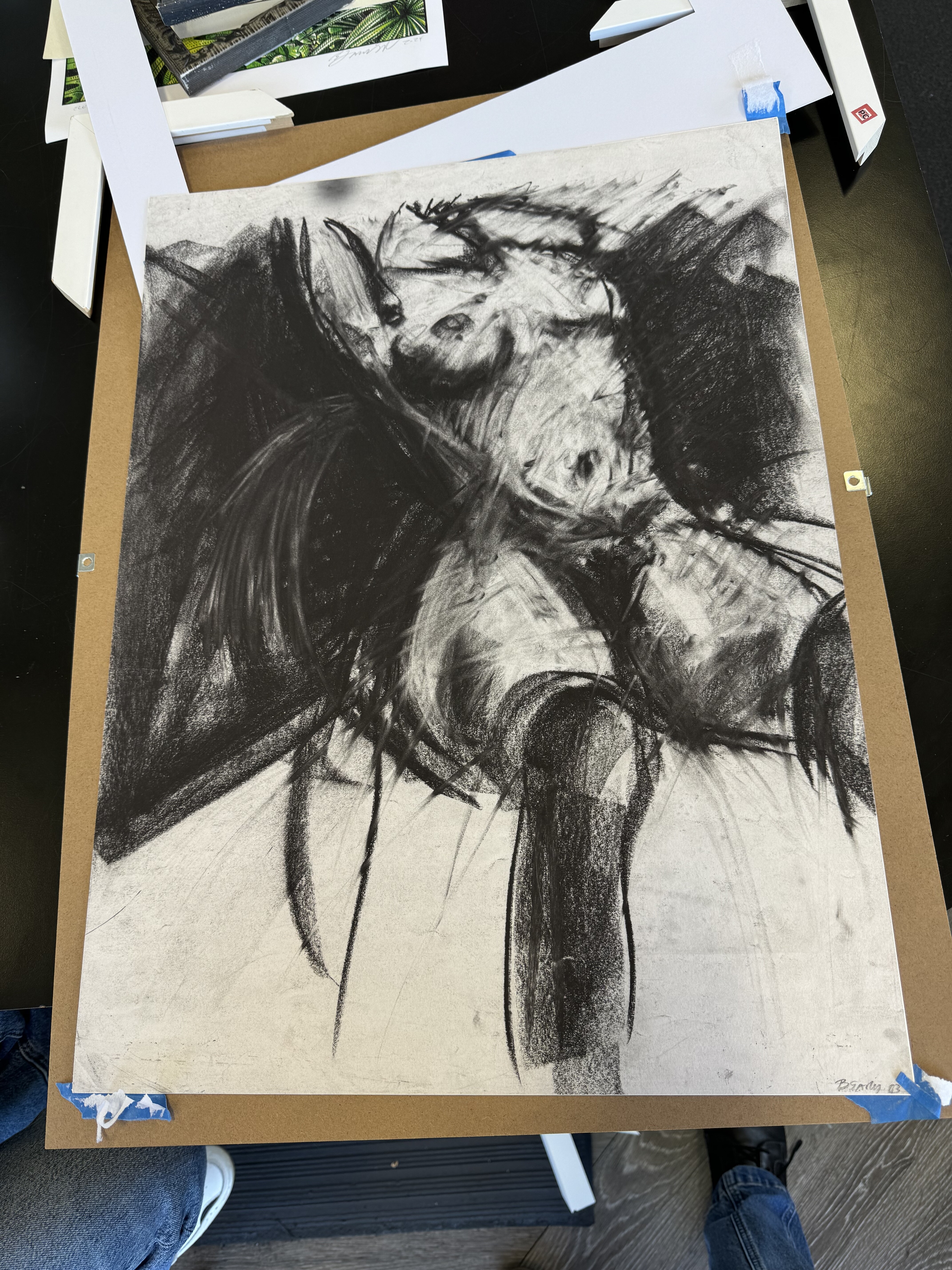
Seated Figure - Babs Early - 2024
When I asked the artist, Babs Early, about this piece and what was motivating her when she created it, she said “I was in a mood.” I believe it was her birthday on the day that we bought it.
Barbara Early babs.early@gmail.com
https://www.babsearly.com/
[ 2024-11-03 19:26:24 ]
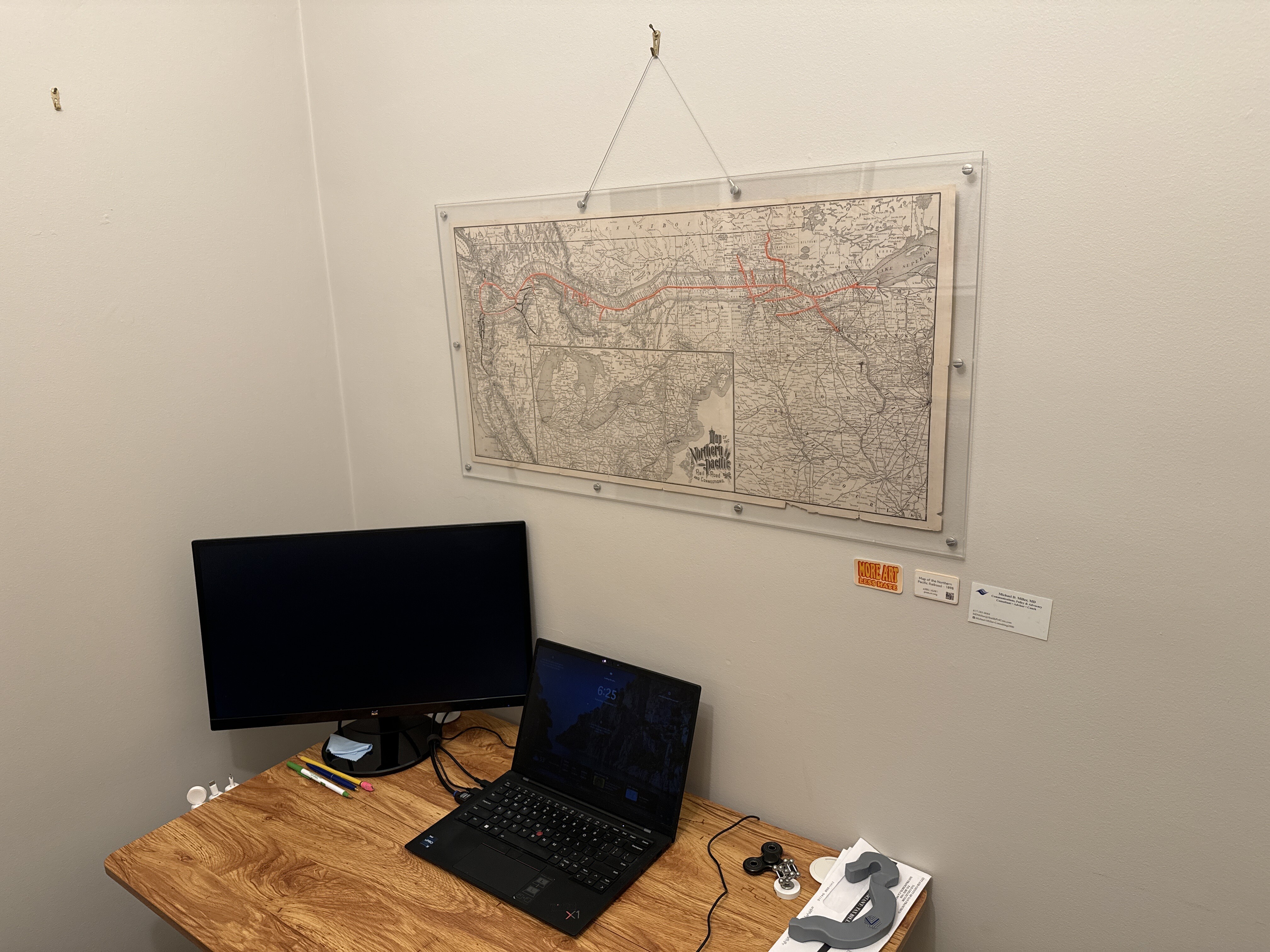
E205 - Northern Railroad Map - 1898 - M5853
Luna Collage - Jada Lynn Dixon - 2024
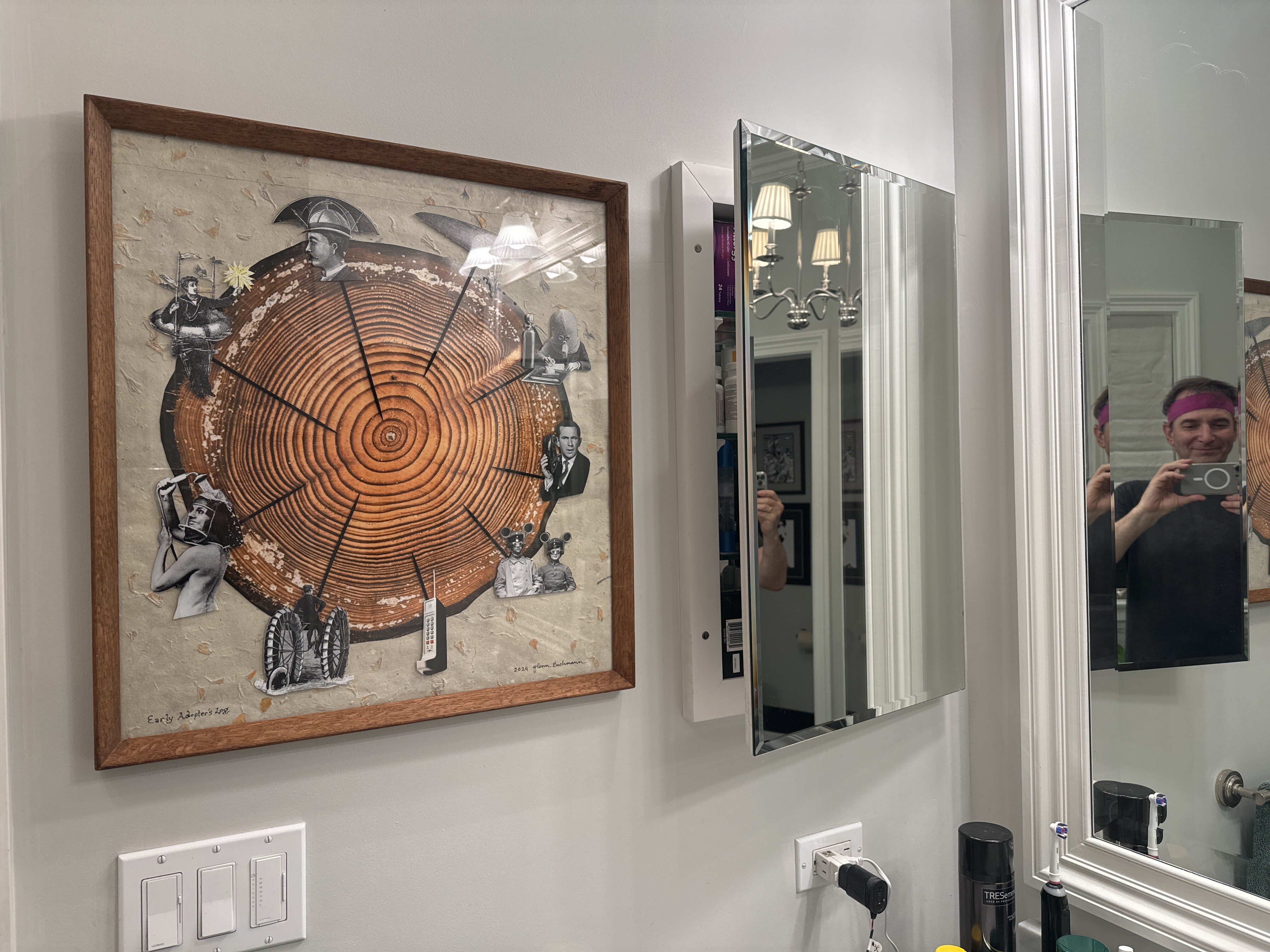
Early Adopter’s Log - Glenn Bachmann - 2024
I was really happy to buy this piece in October 2024 from Glenn Bachmann, who is an artist, photographer and the longtime leader of David Rumsey’s photo-archiving operation. I find this piece, titled Early Adopter’s Log, to be whimsical and thought-provoking. It was produced for a show whose theme was about nature, man and machines.
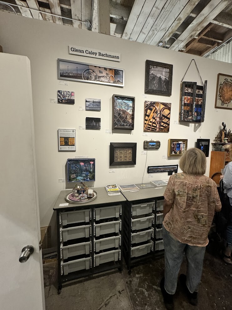
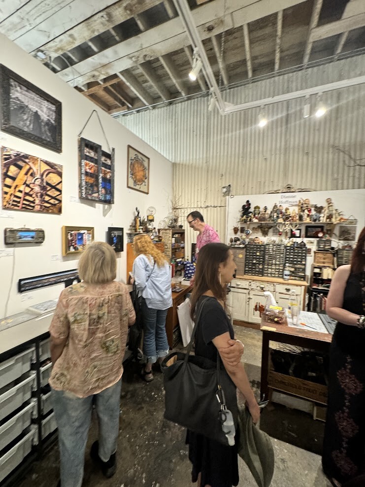
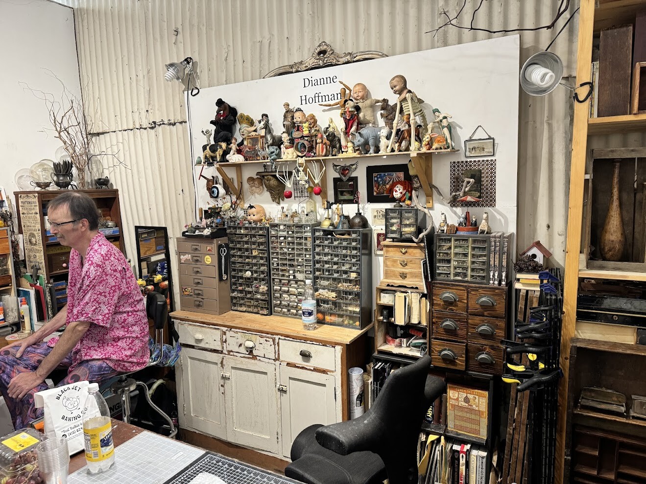
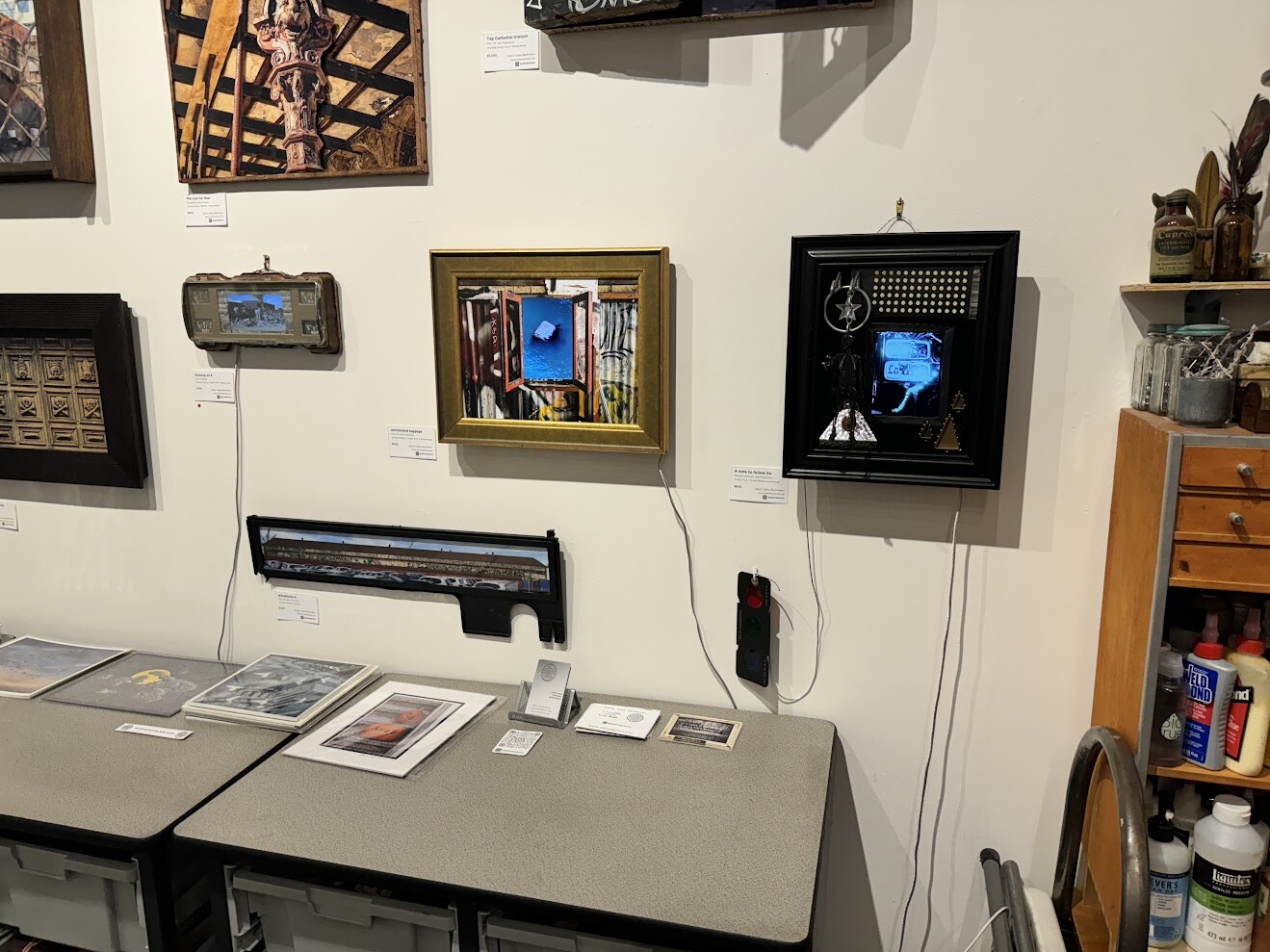
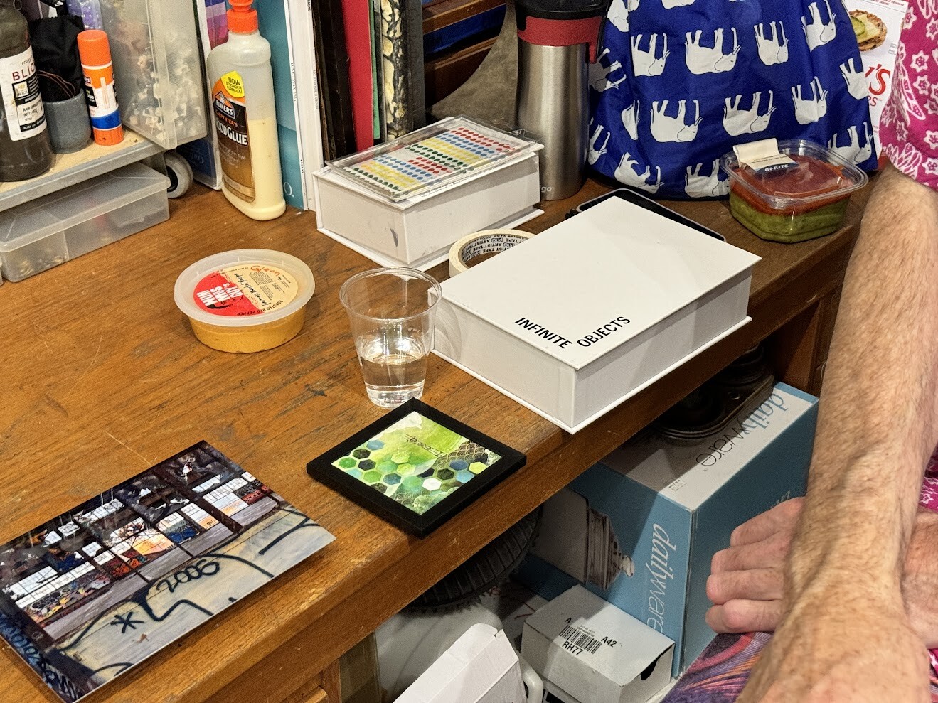
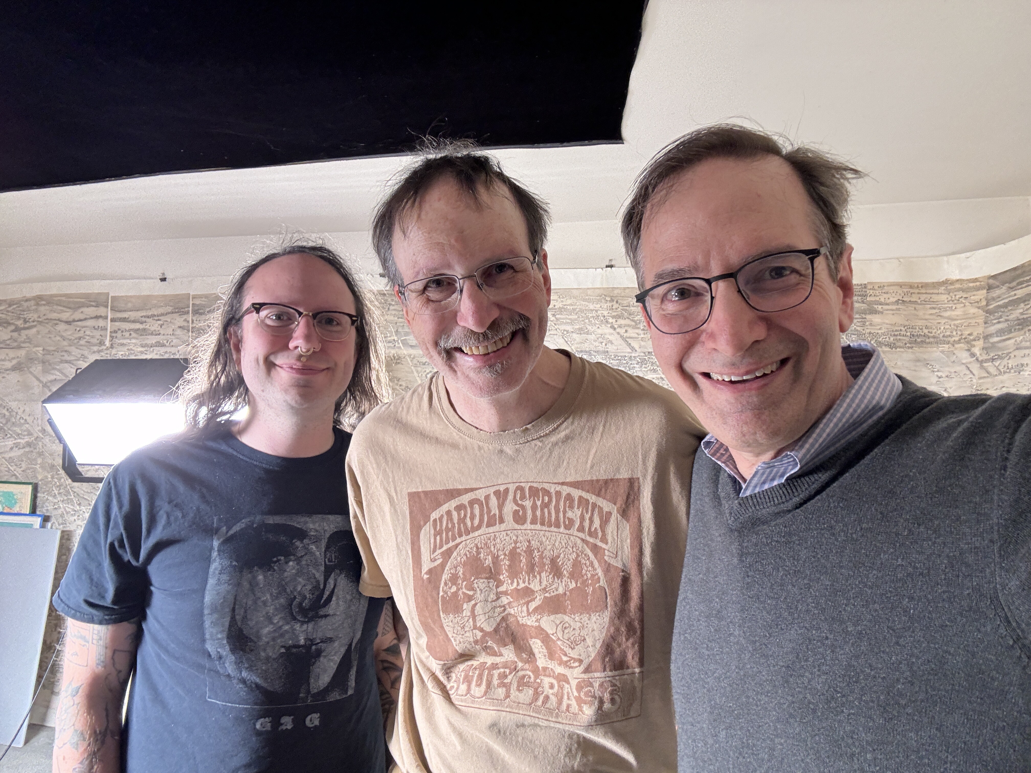
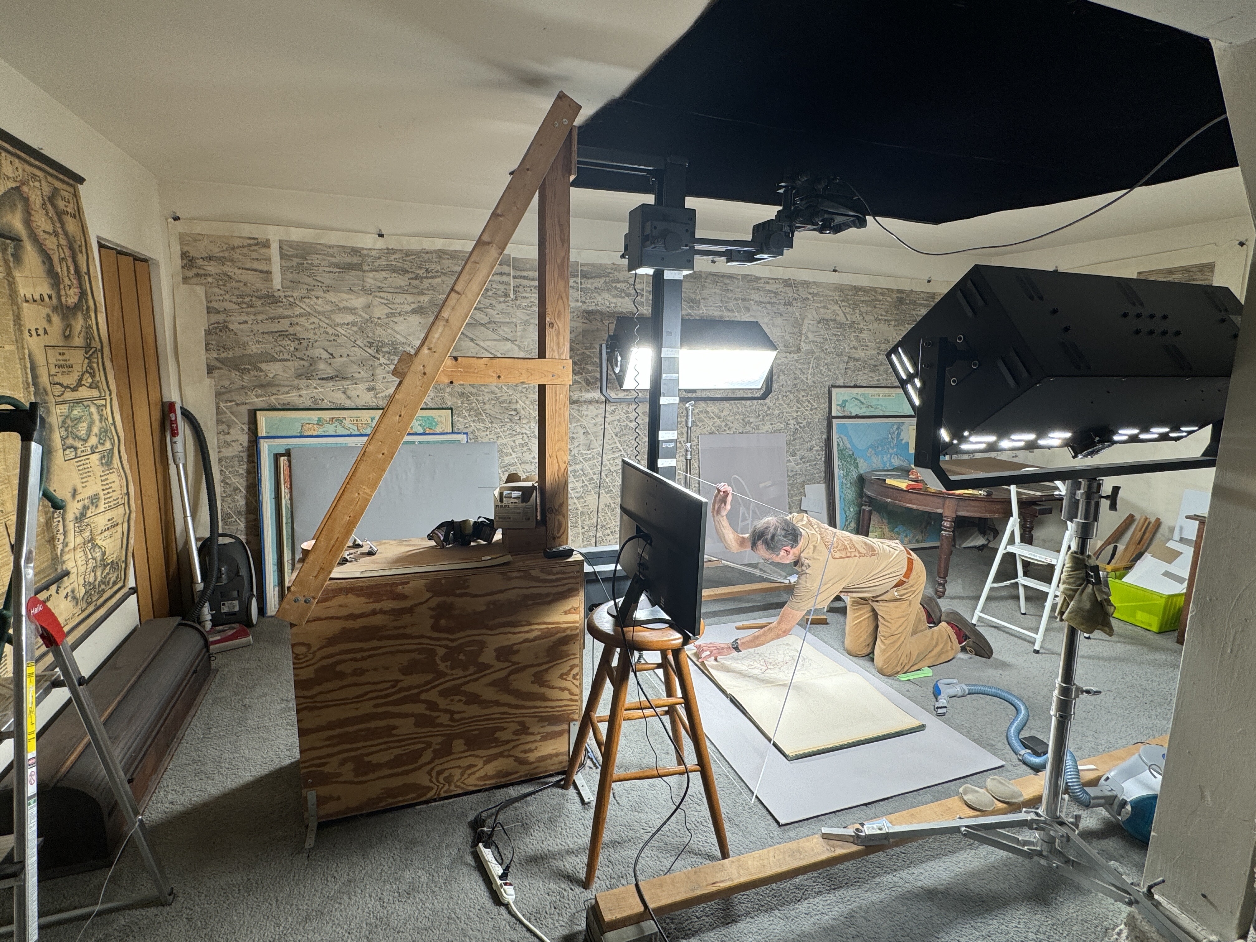
Photos below from my visit to Glenn doing a photoshoot at the David Rumsey archiving studio in SF on April 12, 2024.
10/8/24
00:00
Eleanor, and I bought this piece from Glenn Bachman at the Open Studios on October I think it was sixth.
00:09
And Glenn, the frame of this collage, if you will, is from David Romsey.
00:17
Glen is the main photographer who shoots in David romsey's studio in his garage.
00:24
She suits maps for David Romsey.
00:27
This piece was developed by Glen at the at the urging or request of someone who is doing a show about, I think it was nature and man or nature and the machines.
00:43
And this is what Glenn sort of came up with. I love it.
00:47
It's called The Early Adopters Log.
00:52
Um, a nice play on, sort of these logs that we've seen that show the the what happened at each ring in the tree, and him showing these whimsical, whimsical, um, images.
01:08
It's not a dark piece at all. It's whimsical and fun.
01:12
And I would have thought that machine and nature would have begot something a little darker.
01:19
But, but I think it's great.
01:22
It's really fun.
01:25
Get smart. The old cell phone. I don't know what the woman with the shower is, I guess not.
01:30
So that she doesn't get her hair wet.
01:33
And then the guy who looks like with it with the gas over his face, he's hilarious.
01:40
Um.
01:42
So it was really fun to see Glen and, and we're glad that we could support, support him.
01:49
Okay, that's it.
[ 2024-10-09 02:30:35 ]
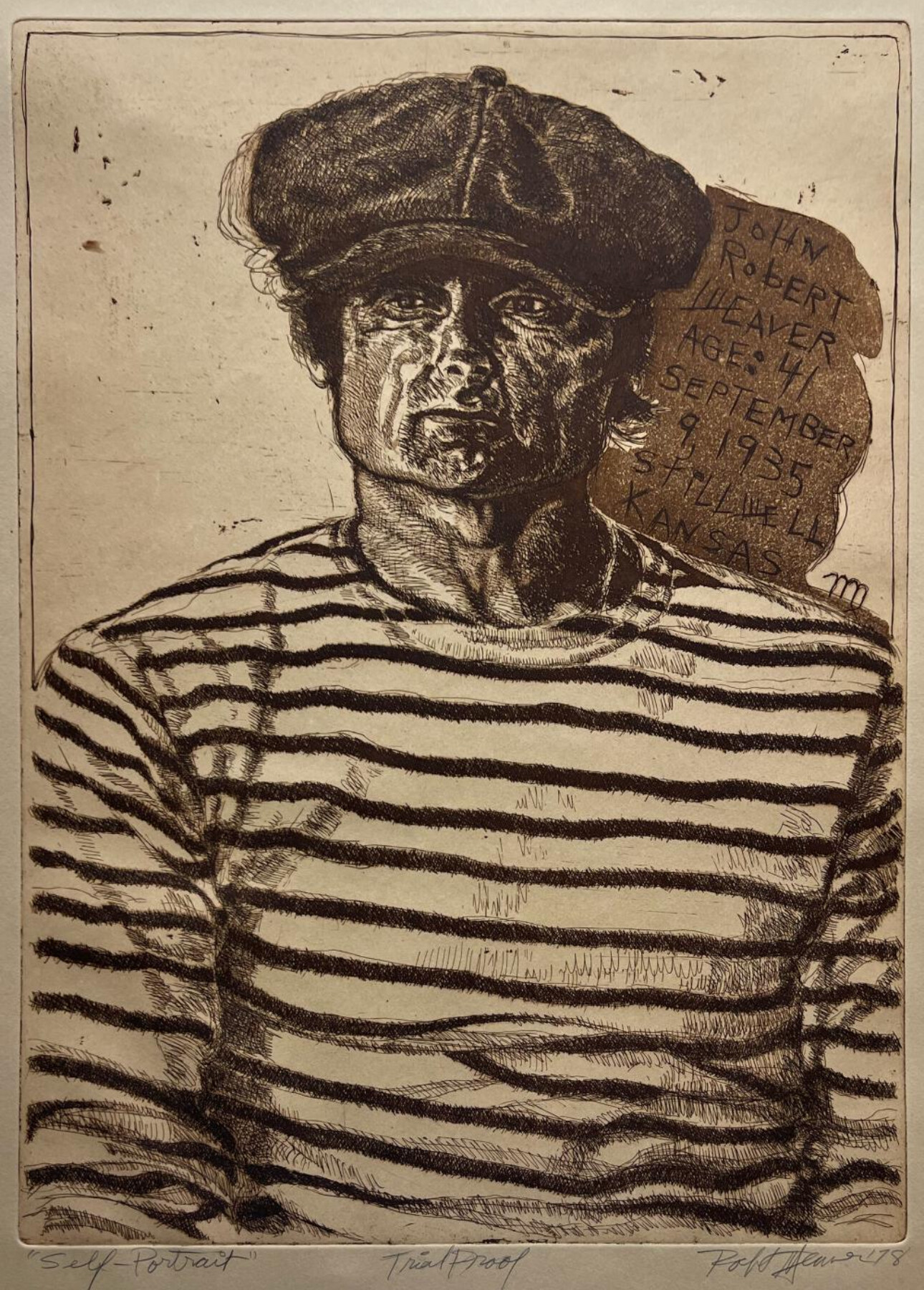
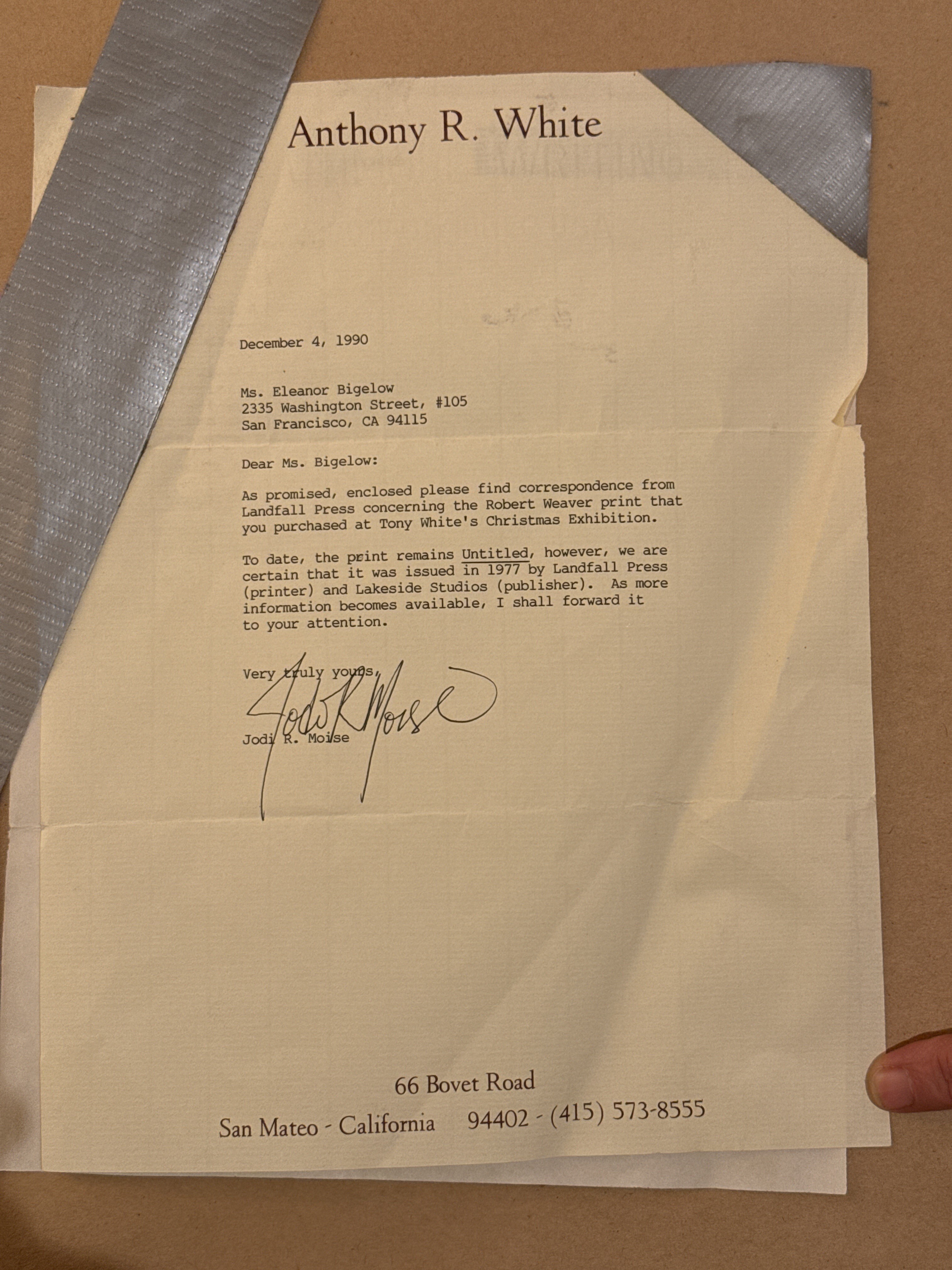
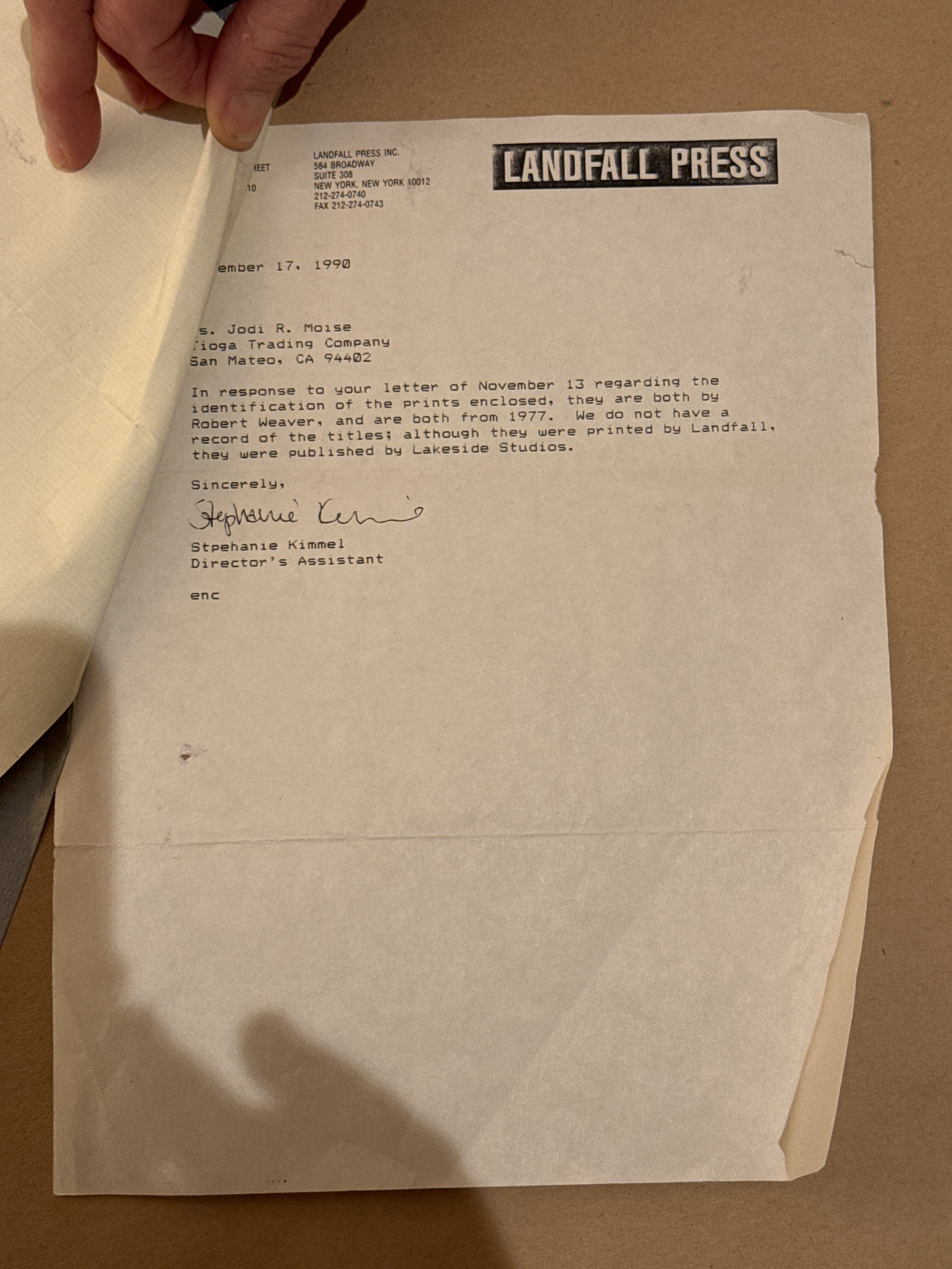
NO. 12 - John Robert Weaver - 1977
Eleanor bought this piece when she was just out of college for her dad, Tom Bigelow, who loved trains. Interestingly, Eleanor would meet and marry about me a decade later and I am and remain involved in our family’s business, which makes bolts and forgings for the railroads.
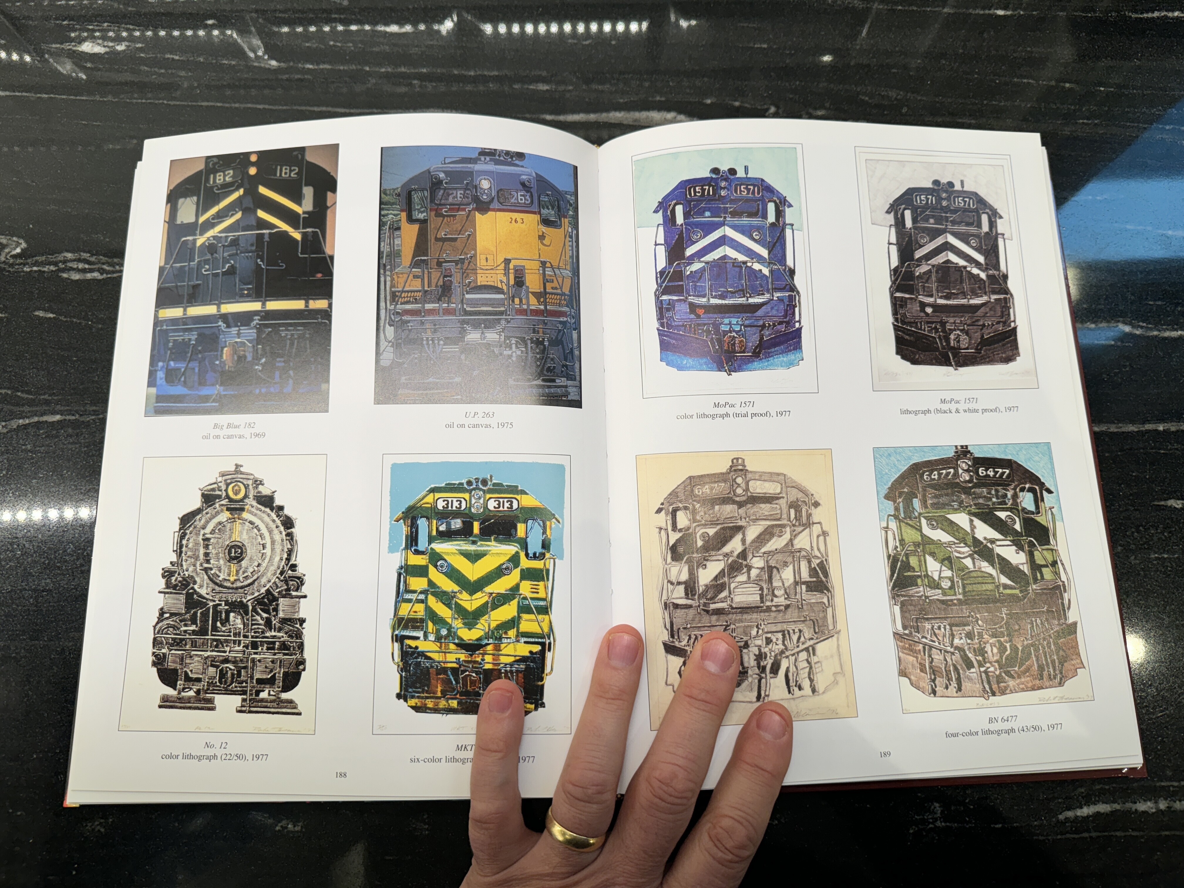
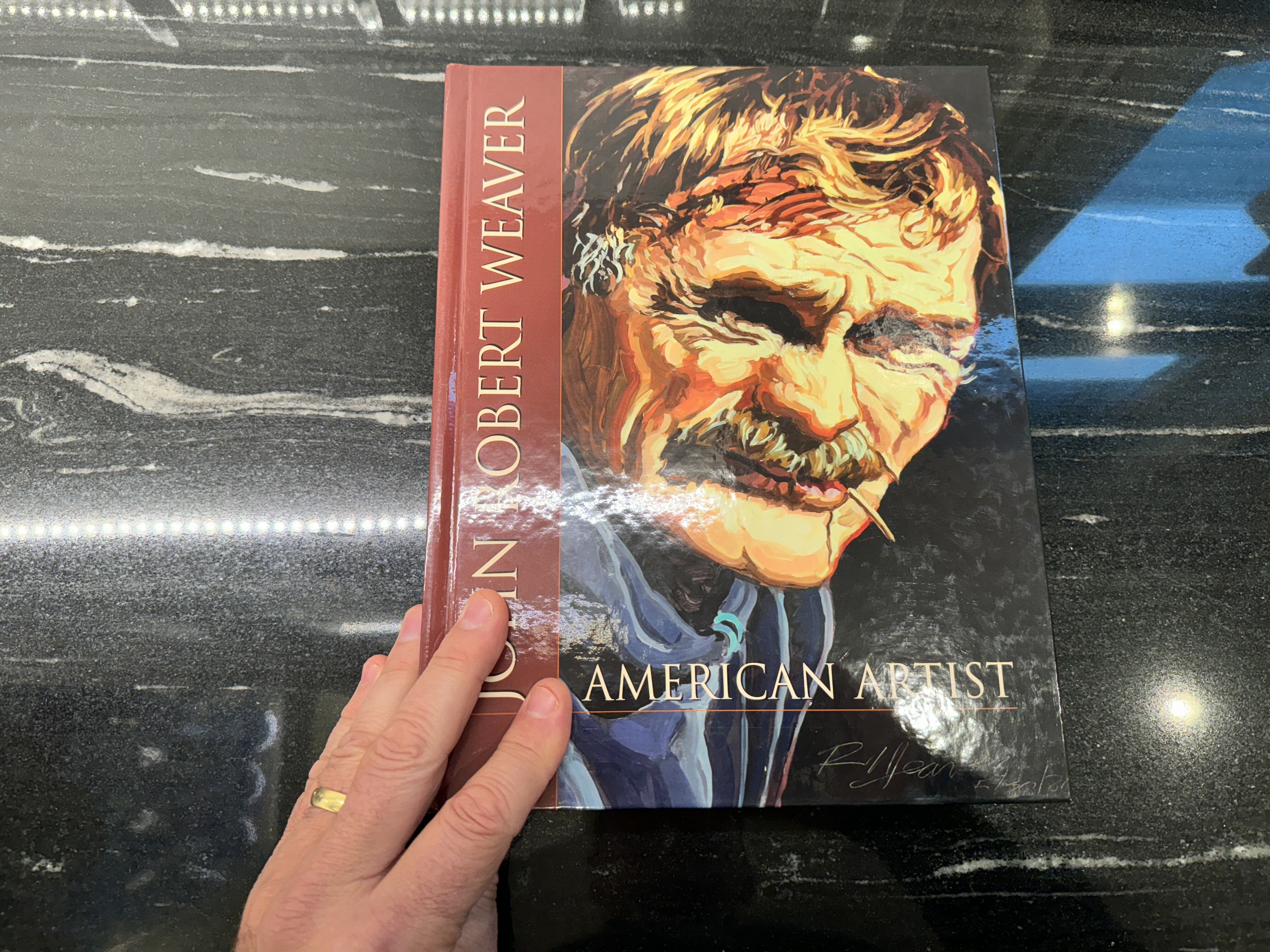
John Robert Weaver, also known as “Bob” Weaver, was a notable American artist with a diverse portfolio spanning illustrations, paintings, drawings, and prints.
Born on September 9, 1935, Weaver pursued his artistic education at the University of Nebraska-Lincoln (UNL), where he received his Master of Fine Arts degree in 1968. This academic achievement laid the foundation for his future career in the arts.
Madison Museum of Contemporary Art
 i24957
 i24958
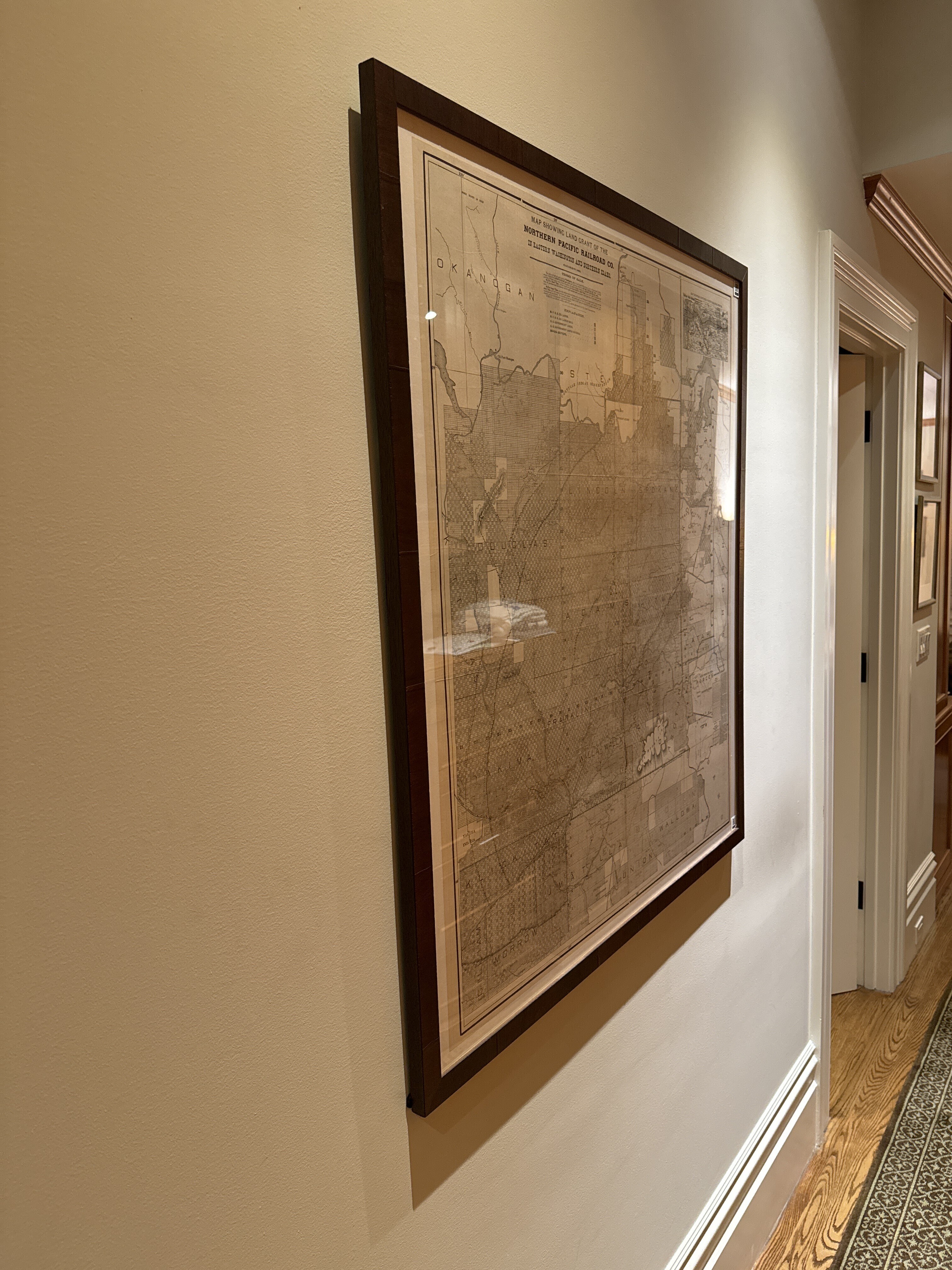
Northern Pacific Railroad in WA and ID - 1898
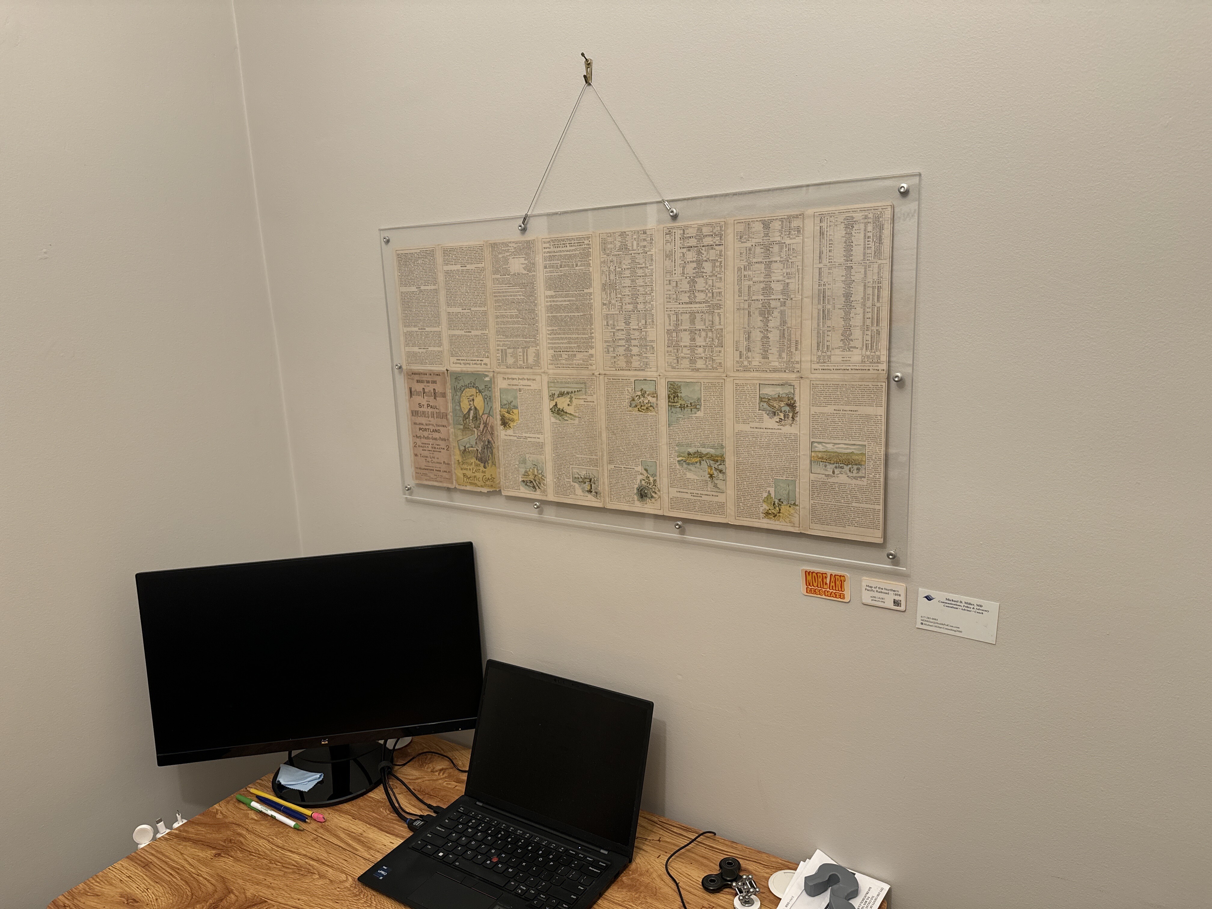
One of my first map purchases, in 2018, bought at the San Francisco Map Fair. Jim Schein framed this for me, after a considerable effort on his part because I wanted the map to be visible on both sides. It ultimately wasn’t do-able, so he had the map put onto a linen backing and then he framed it in plexi. I love it and gaze into it periodically.
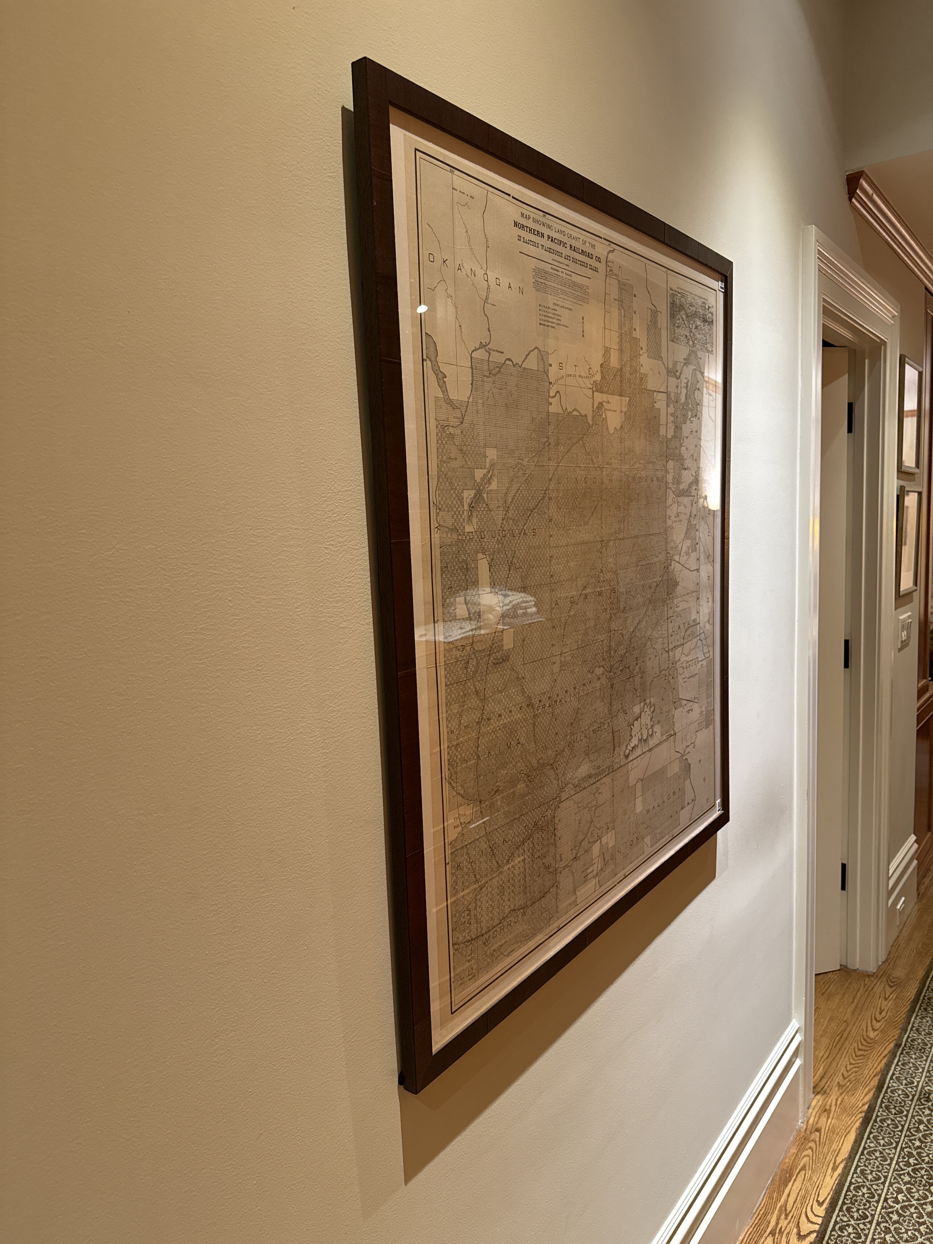

Northern Pacific Railroad (backside) - 1898
Shaoguang Ding - date unknown (pre-1996)
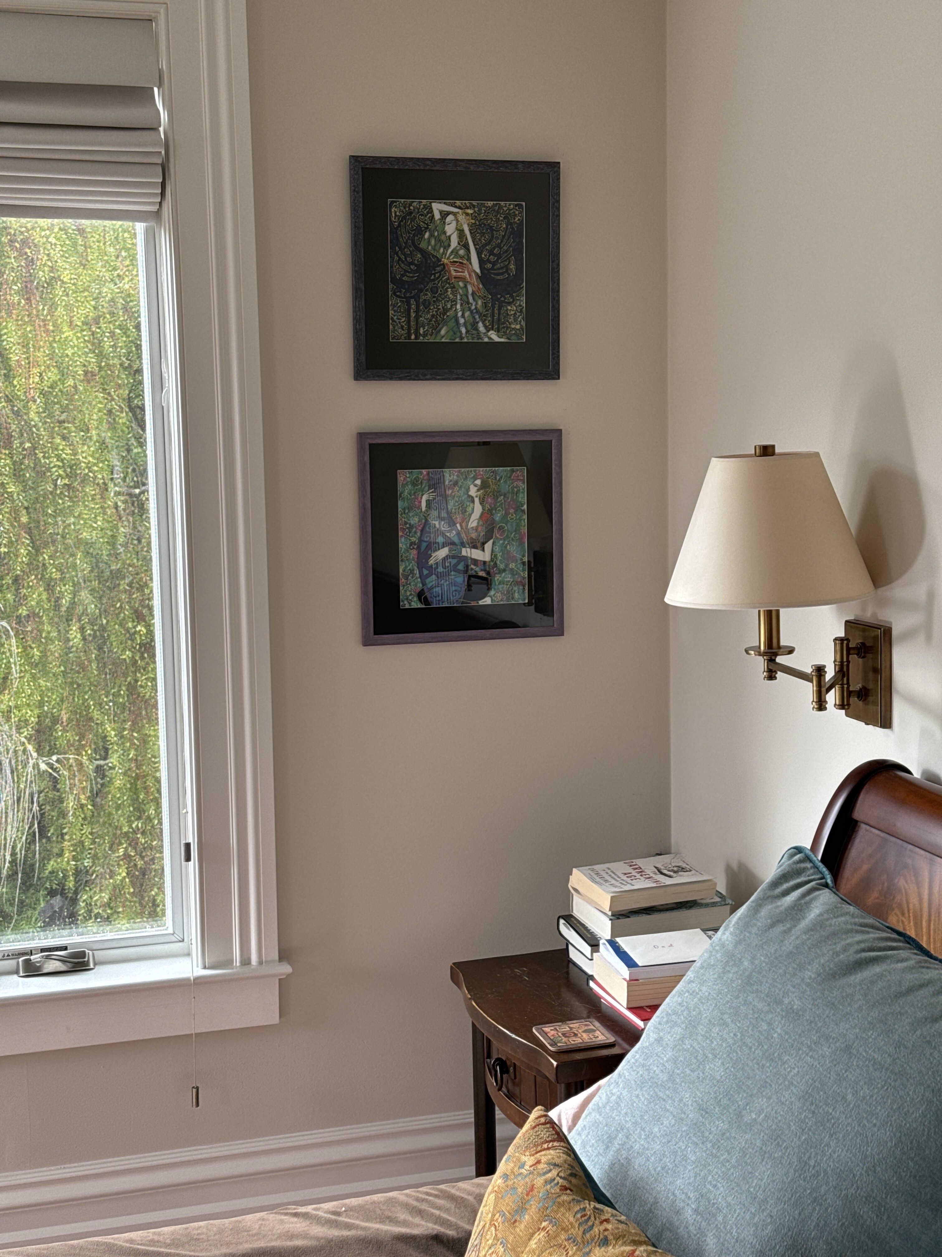
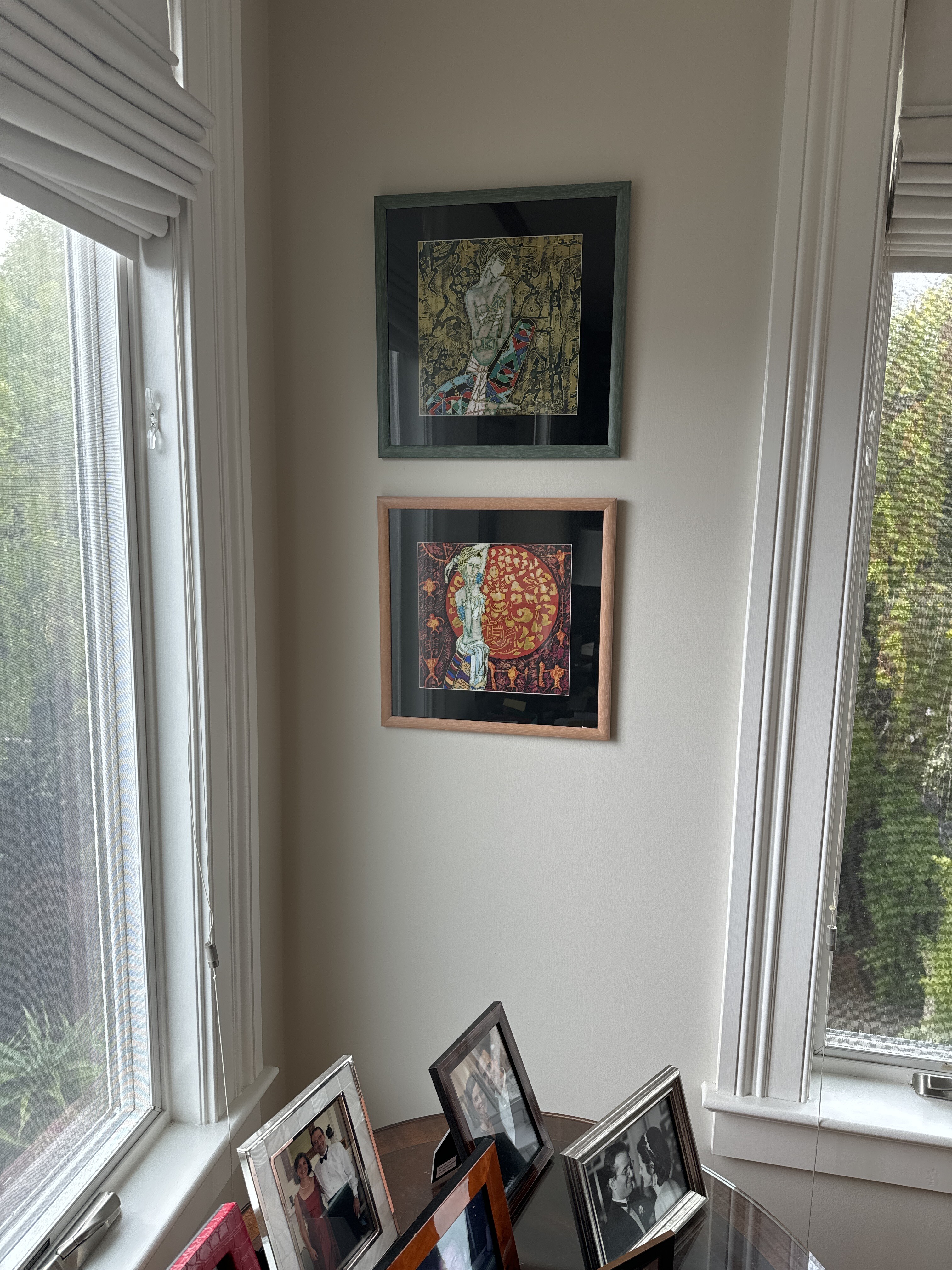
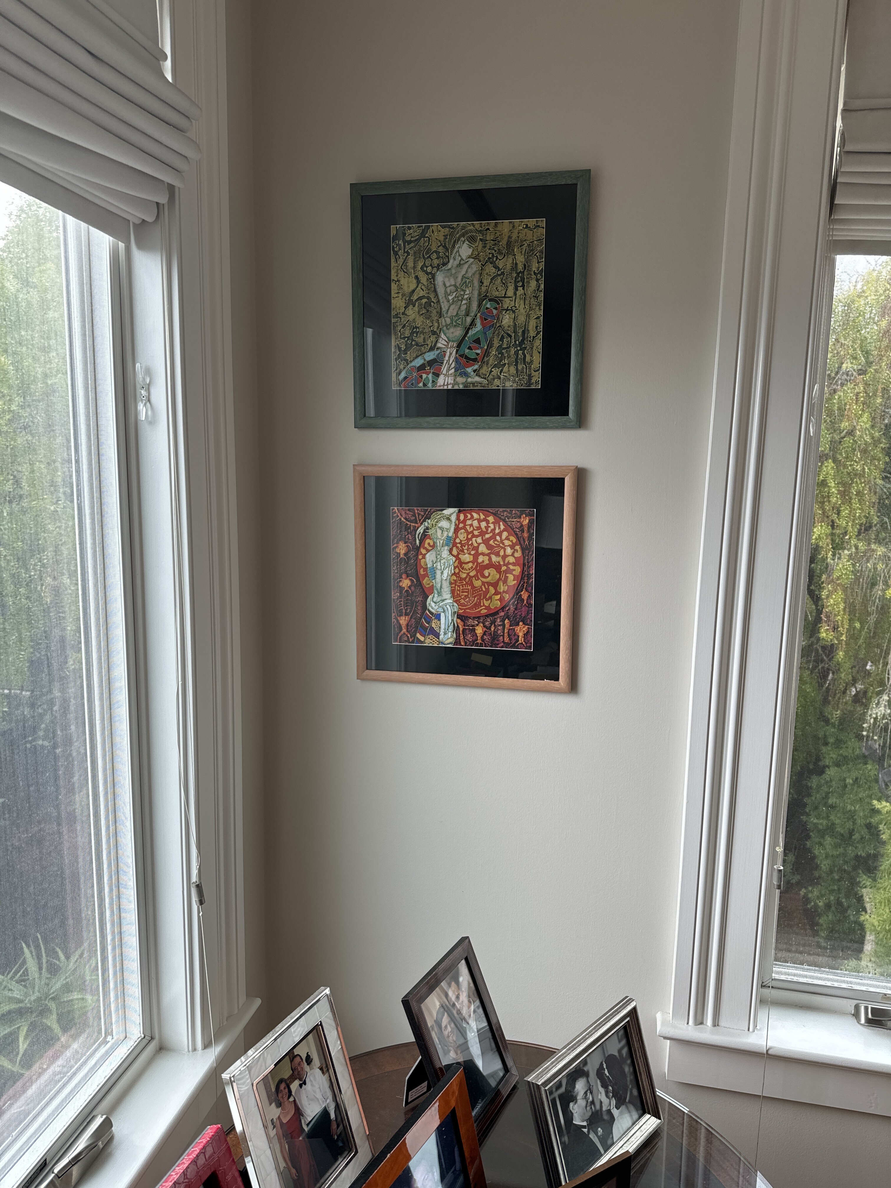
Eleanor bought this set of four pieces while she was in Shanghai in 1996. She bought them at the urging of Meg Beamon’s mom, who insisted that a particular gallery was amazing for its selection and value. We think the artist is Shaoguang Ding.
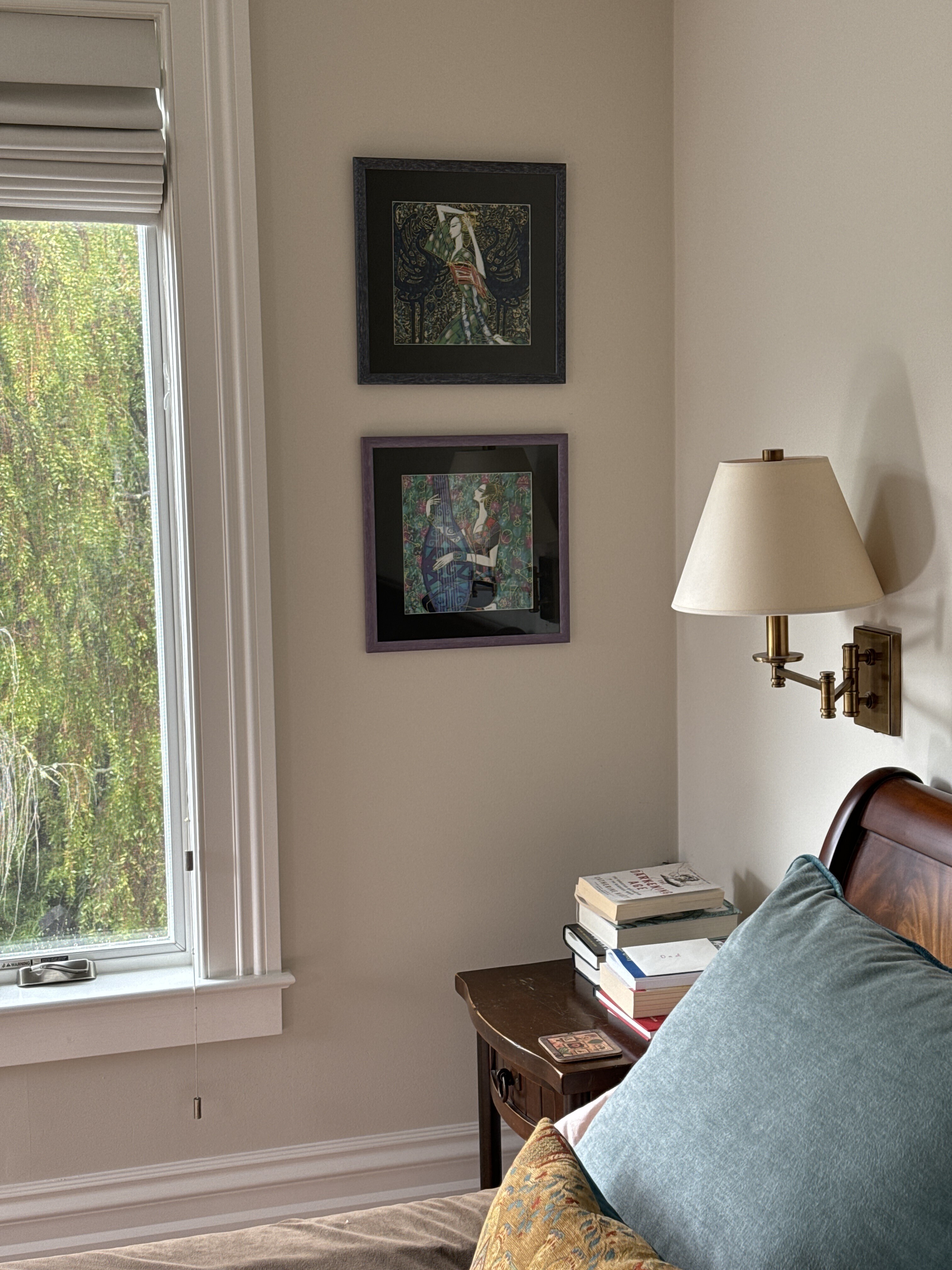

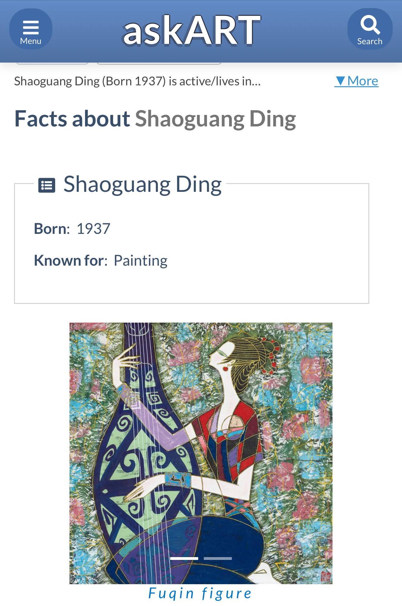
Shaoguang Ding (丁绍光), also known as Ting Shao Kuang, is a renowned Chinese artist born on October 7, 1939, in Yuncheng, Shanxi Province, China[1][5]. His early life was marked by turbulence, growing up during the Sino-Japanese War and subsequent civil war in China[1]. At the age of 9, Ding was abandoned by his parents, which led him to turn to painting as a means of expressing his emotions and coping with loneliness[1].
## Education and Early Career
Ding studied at the Central Academy of Arts and Crafts in Beijing, graduating in 1962[1][5]. During his studies, he was exposed to Western artists like Matisse, Picasso, and Modigliani, who greatly influenced his artistic style[1]. After graduation, Ding taught at the Yunnan Art Institute in Kunming, where he continued to paint in secret, often burning his works to avoid persecution for his abstract style[1].
## Artistic Style and Influences
Ding's artwork is characterized by a unique blend of traditional Chinese and Western influences[1]. His paintings often feature stylized female figures surrounded by vibrant abstractions, drawing inspiration from Ancient Egyptian and Art Nouveau aesthetics[1]. Ding is considered a leader of the Chinese art movement known as the Yunnan School[2].
## Notable Achievements
1. In 1979, Ding created a large mural titled "Beautiful, Rich, Magical Xishuangbanna" for the Great Hall of the People in Beijing[3][5].
2. In 1980, Ding moved to the United States, settling in Los Angeles, California, to pursue greater artistic freedom[1][3].
3. Between 1986 and 1996, Ding held over 400 personal art exhibitions worldwide[3][4].
4. In 1990, he was ranked 29th in the World Art Fair in Japan's One Hundred Art Master Leaderboard, being the only selected Chinese artist[3].
5. From 1993 to 1995, Ding was chosen as the representative painter of the United Nations for three consecutive years[3].
6. The United Nations has distributed several of Ding's limited edition prints globally, including "Light of Human Rights" (1993), "Mother" (1994), and "Religion and Peace" (1995)[3].
7. In 1999, the mayor of San Francisco declared an annual "Ding Shaoguang Day"[3].
## Legacy and Recognition
Ding Shaoguang's artworks have been collected by institutions and individuals in over 50 countries[3][4]. His paintings have achieved significant acclaim, with his piece "White Night" setting a record auction price for Chinese painters at HK$2 million in 1992 at Christie's[5]. In 1996, the National Art Museum of China organized a National Ding Shaoguang Prize exhibition[5].
Ding continues to create art and currently resides in the United States, where he has made a lasting impact on both Chinese and international art scenes[1][5].
Sources
[1] Artist: Ting Shao Kuang (b. 1939) - Goshen Art Gallery https://www.goshenartgallery.com/blog/artist-ting-shao-kuang
[2] Ting Shao Kuang Artwork for Sale | Renjeau Art Galleries https://www.renjeau.com/artist/kuang-ting-shao/
[3] Ding, Shaoguang https://www.acclv.com/ding-shaoguang.html
[4] Ding, Shaoguang - Asian Culture Alliance http://www.acclv.com/ding-shaoguang.html
[5] DING SHAOGUANG | 丁绍光 | CHINESE NEW ART https://www.chinesenewart.com/chinese-artists15/dingshaoguang.htm
Source: perplexity
Shaoguang Ding - date unknown (pre-1996)
Shaoguang Ding - date unknown (pre-1996)
Shaoguang Ding - date unknown (pre-1996)
E205 - Jann Pollard - PH1472 - M5861
Flowers and Golden Gate - Jann Pollard
Another favorite piece of ours by Jann Pollard (artist link here). The Golden Gate Bridge and the scenery around it is so beautiful.
Master Bathroom - 2nd Floor - Paper-Bigelow Residence
Deli Orbit Sphynx by Alp Ozberker
Alp Ozberker artist page here. Bought as a triptych (Deli Orbit Sphynx) in 2023 during show of Alp’s work at Jewish home on/near Post Street and Scott/Pierce.

“Alp Ozberker is an internationally recognized artist. He has been a regular feature at California art festivals for decades. Over the last 30 years Alp has become a virtual institution in San Francisco's parks and plazas, where he regularily shows in the warmer months.
Alp's trademark etchings are weird, whimsical and highly accessible. His works are popular with conference goers (from psychologists to software engineers), locals and international tourists. Alp's diverse body of work covers themes from travel to deep sea vents with an instantly recognizable style.”
[ 2024-08-15 03:57:06 ]
The Sphynx - Alp Ozberker - date unknown
At The Deli - Alp Ozberker - date unknown
Go Into Orbit - Alp Ozberker - date unknown
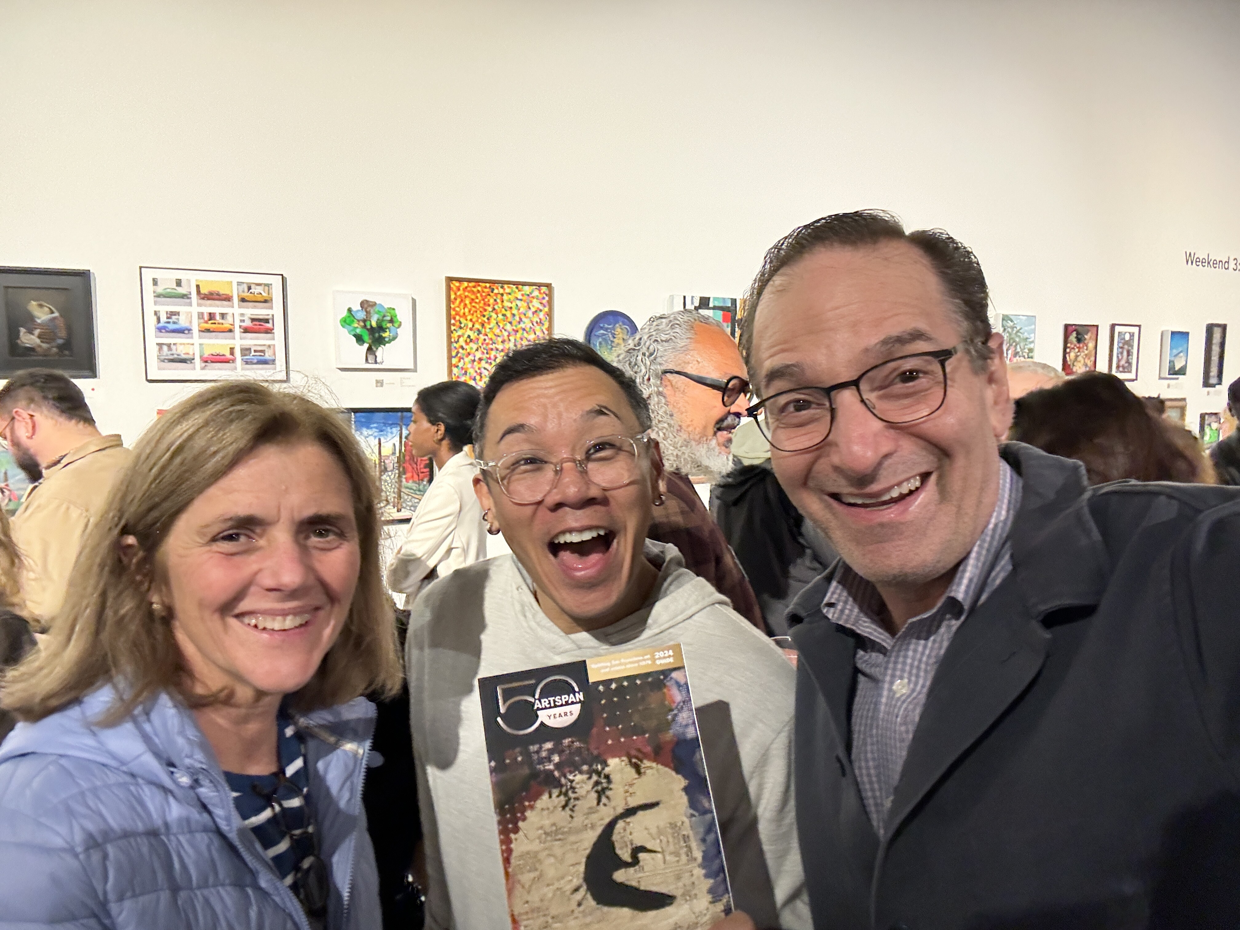
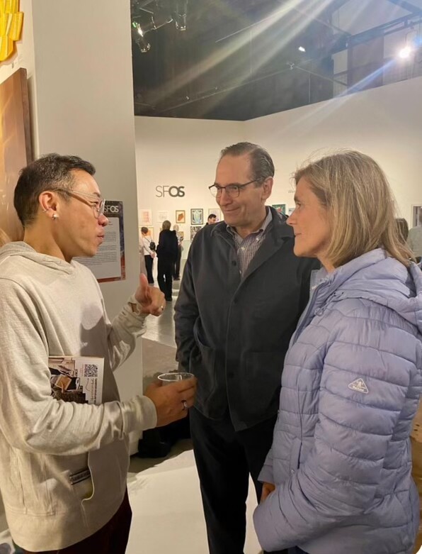
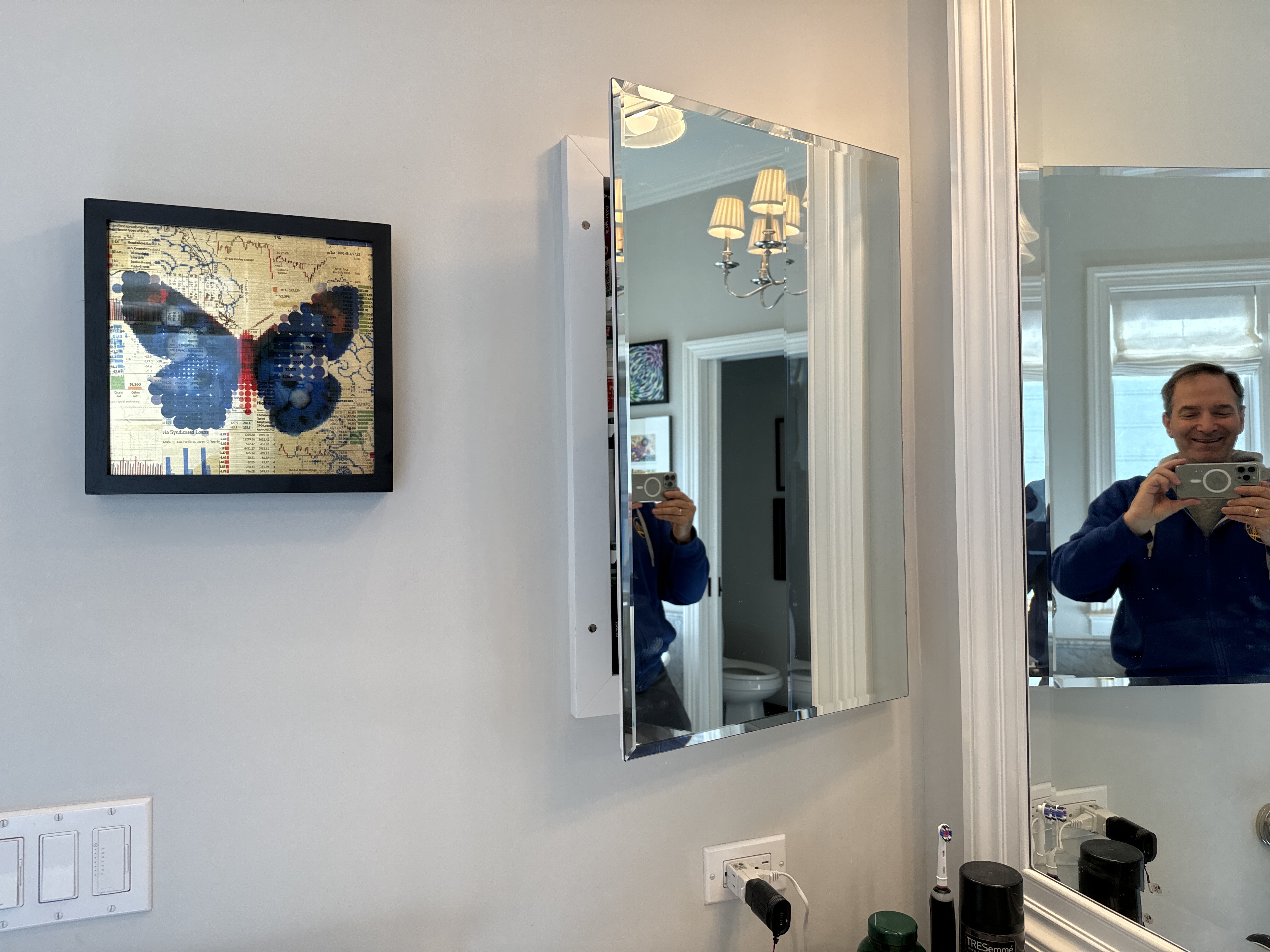
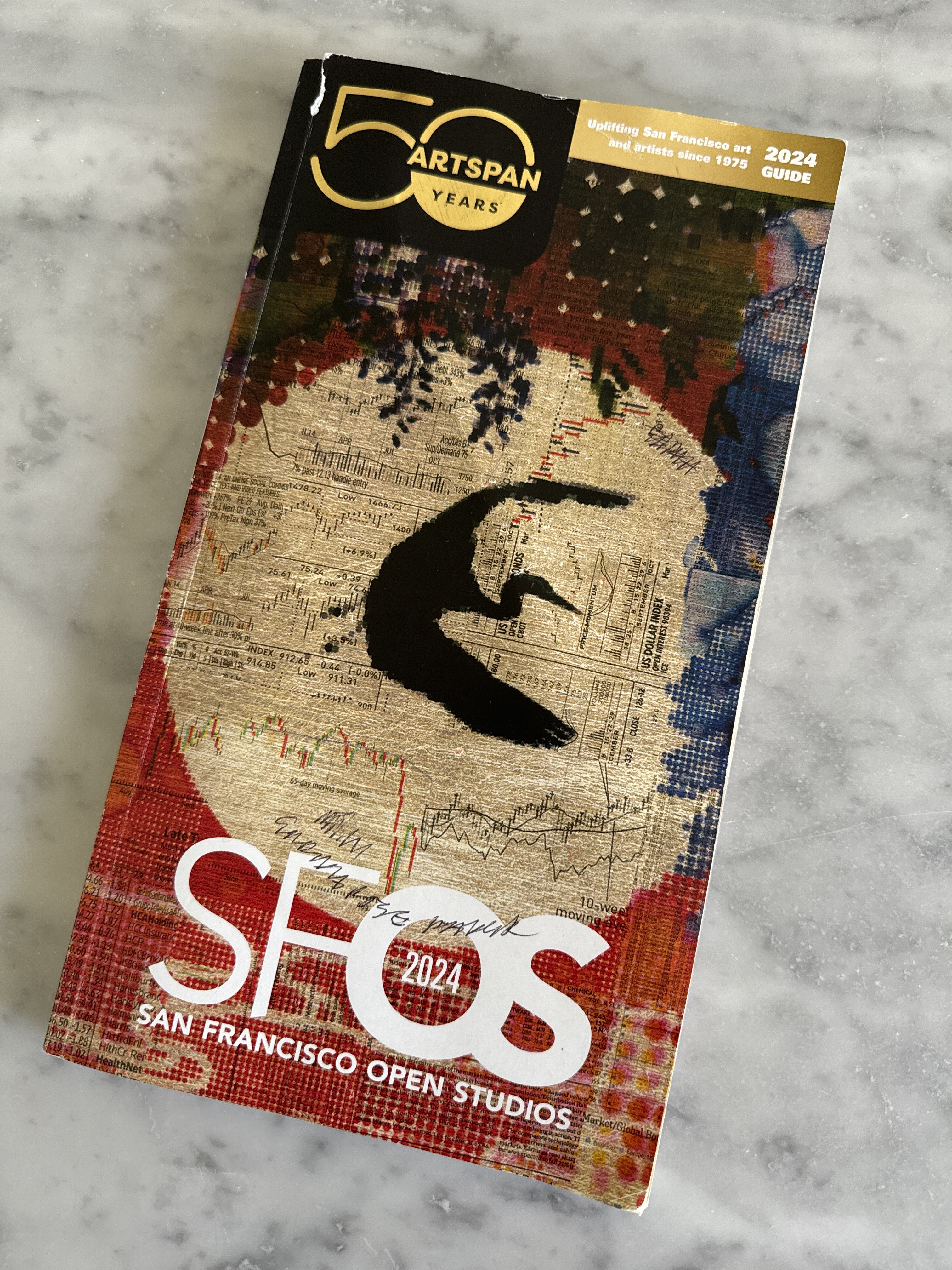
Butterfly - Philip Hua - 2024
Philip Hua is one of Eleanor’s favorite artists. We met him at an ArtSpan opening in 2024. Eleanor was like a kid meeting her favorite rock star. The cranes (and other creatures) in his work signify beauty and nature while the numbers overlayed signify money and the daily drive for commerce.
https://www.philliphua.com/
[ 2024-11-03 19:11:36 ]
Ground Floor - Paper-Bigelow Residence
Bridge and Stream - Jann Pollard
Eleanor bought this watercolor from Jann directly. Jann's subtle use and wide range of color (from purple to yellow to blue) creates a cool, realistic and inviting scene in nature.
Jann Pollard artist link here.

Storage - Paper-Bigelow Residence
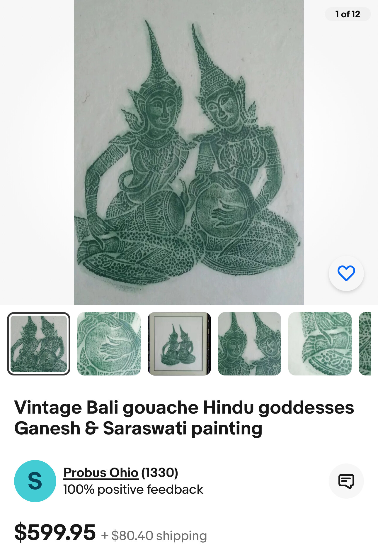
Two People - artist unknown - date unknown
This piece was given to Eleanor by Bob and Jane Bennett who were neighbors of the Bigelow family on Parrott Drive. Appears to be the Hindu goddesses Ganesh and Saraswati, from a search on Google Lens, although not quite so sure after reading this summary from Perplexity about these two goddesses.

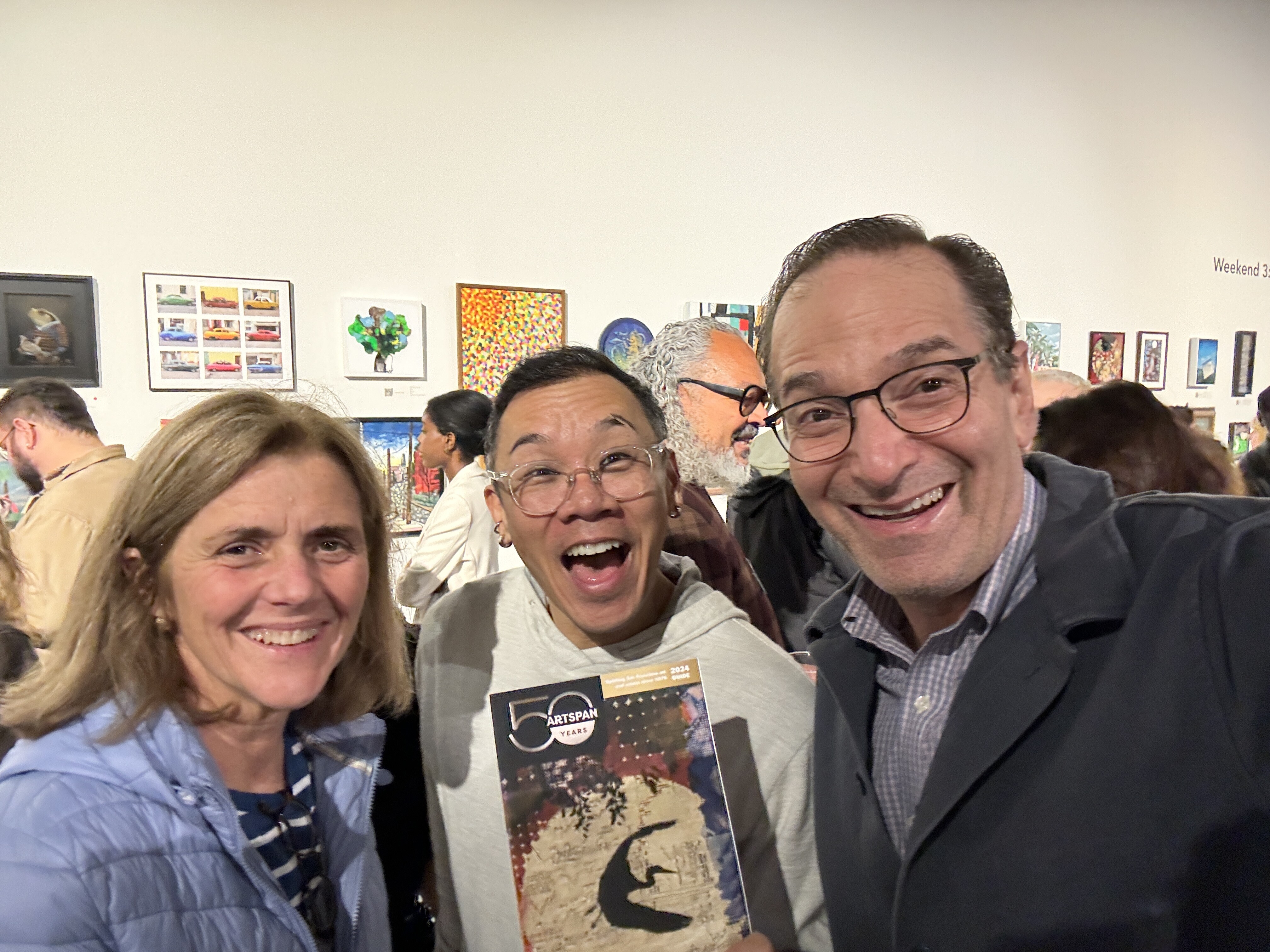
Philip Hua - Crane scene
Philip Hua is one of Eleanor’s favorite artists. We met him at an ArtSpan opening in 2024. Eleanor was like a kid meeting her favorite rock star. The cranes (and other creatures) in his work signify beauty and nature while the numbers overlayed signify the drive for commerce.
E205 - PH1473 - M6068
Twig and Leaf - Sarah Paper - ~2016-2020
San Francisco Chinatown - Board of Supervisors - 1885
I remember being flabbergasted when I first saw this map. I couldn’t believe that I, who’d lived in San Francisco for 10 years, didn’t know about this ultra-racist chapter of oh-so-politically-correct San Francisco. This map shows those racist and bigoted genes in technicolor. Below from National Geographic. One of the images has this jarring caption: “In the South, the Ku Klux Klan targeted African Americans. In the West, the white supremacist organization attacked Chinese immigrants.”
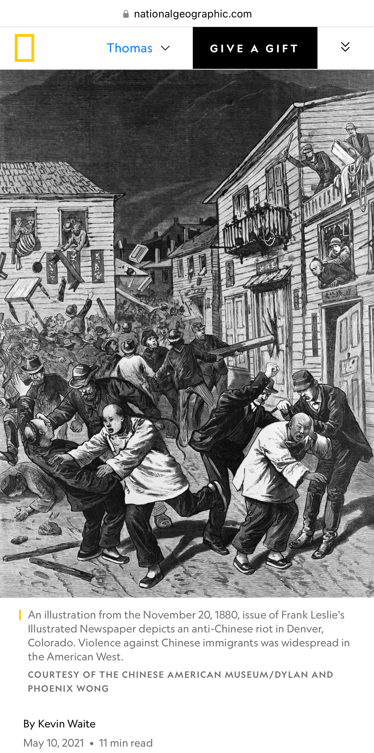
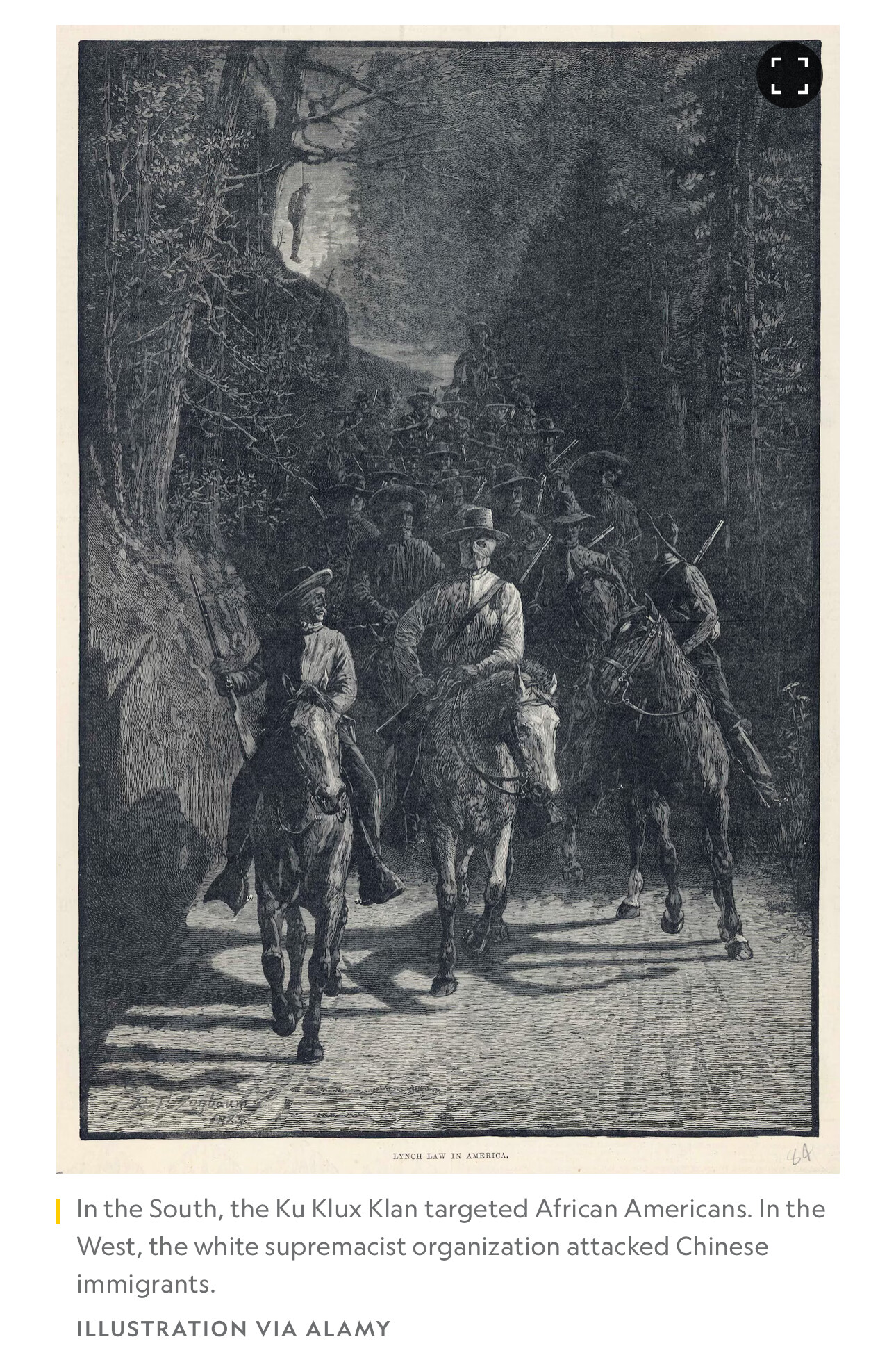
“This map reflects the pervasive bias against the Chinese in California and in turn further fostered the hysteria. It was published as part of an official report of a Special Committee established by the San Francisco Board of Supervisors "on the Condition of the Chinese Quarter." The Report resulted from a dramatic increase in hostility to the Chinese, particularly because many Chinese laborers had been driven out of other Western states by vigilantes and sought safety in San Francisco...From the report: "The Chinese brought here with them and have successfully maintained and perpetuated the grossest habits of bestiality practiced by the human race." The map highlights the Committee's points, particularly the pervasiveness of gambling, prostitution and opium use. The Report concludes with a recommendation that the Chinese be driven out of the City by stern enforcement of the law.” PJ Mode Collection at Cornell
Eating Genetically Modified Fruit - Jon Parr - 2001
Eleanor and Tom met Jon Parr through his wife, Marin Thurber. We attended his California College of the Arts graduation exhibit in 2001 and bought this piece which we thought was his best work. We call it "eating genetically modified fruit." Marin was his model for this piece. Jon now lives in LA with his family and is a commercial artist. He also creates, every year, the most amazing graphic family Christmas cards.


Artist Jon Parr Resume
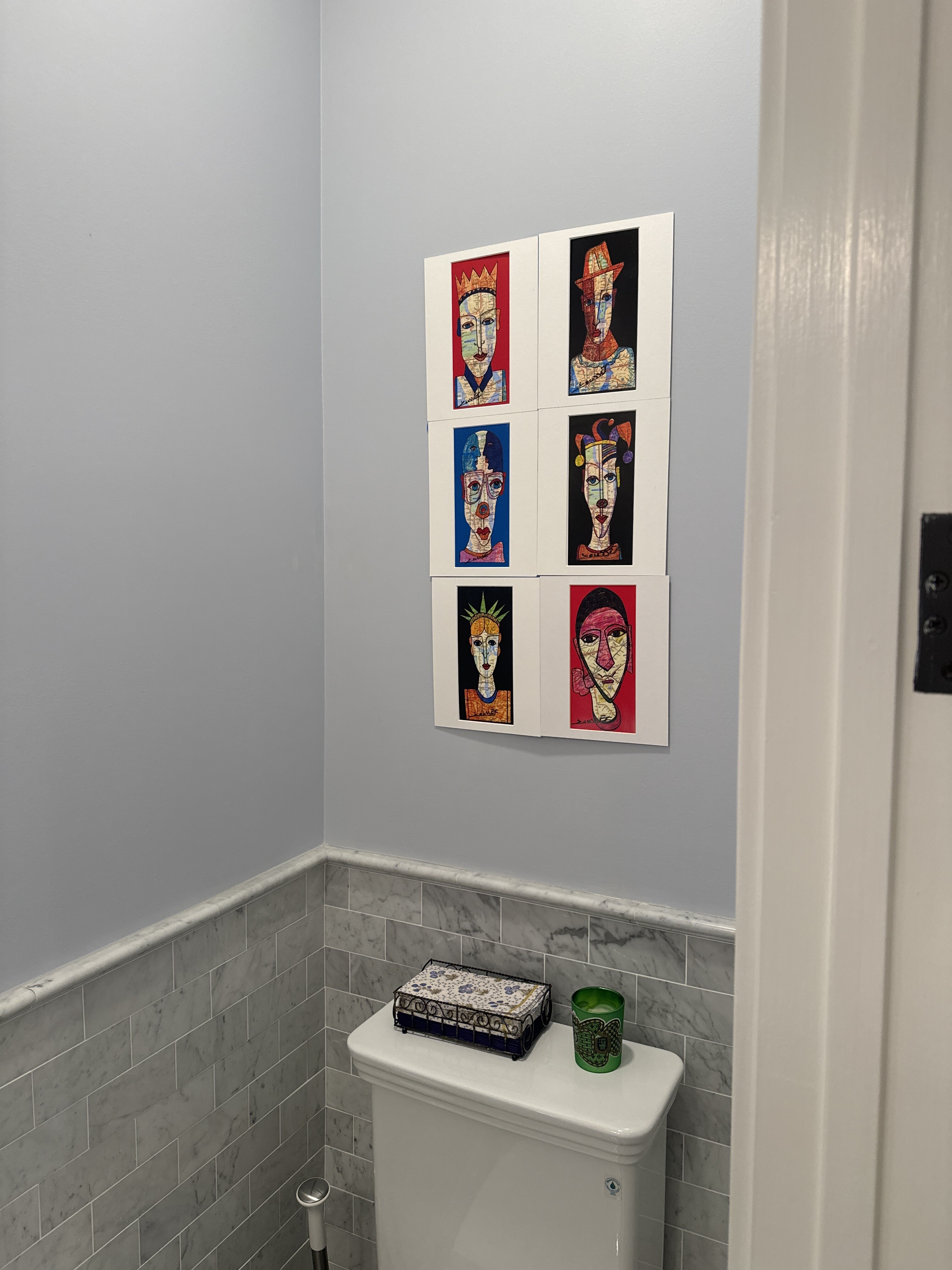
Steeet Map People 1-6 - Joissef - date unknown
We bought this group of six people on maps on the street in New York in roughly 2023. We don’t know the artist. In the style of Gunther Temech. See Perplexity.
[ 2024-11-23 15:33:10 ]
Street Map Person - 1
We bought this group of six people on maps on the street in New York in roughly 2023. We don’t know the artist. In the style of Gunther Temech. See Perplexity.
Street Map Person - 2
We bought this group of six people on maps on the street in New York in roughly 2023. We don’t know the artist. In the style of Gunther Temech. See Perplexity.
Street Map Person - 3
We bought this group of six people on maps on the street in New York in roughly 2023. We don’t know the artist. In the style of Gunther Temech. See Perplexity.
Street Map Person - 4
We bought this group of six people on maps on the street in New York in roughly 2023. We don’t know the artist. In the style of Gunther Temech. See Perplexity.
Street Map Person - 5
We bought this group of six people on maps on the street in New York in roughly 2023. We don’t know the artist. In the style of Gunther Temech. See Perplexity.
Street Map Person - 6
We bought this group of six people on maps on the street in New York in roughly 2023. We don’t know the artist. In the style of Gunther Temech. See Perplexity.
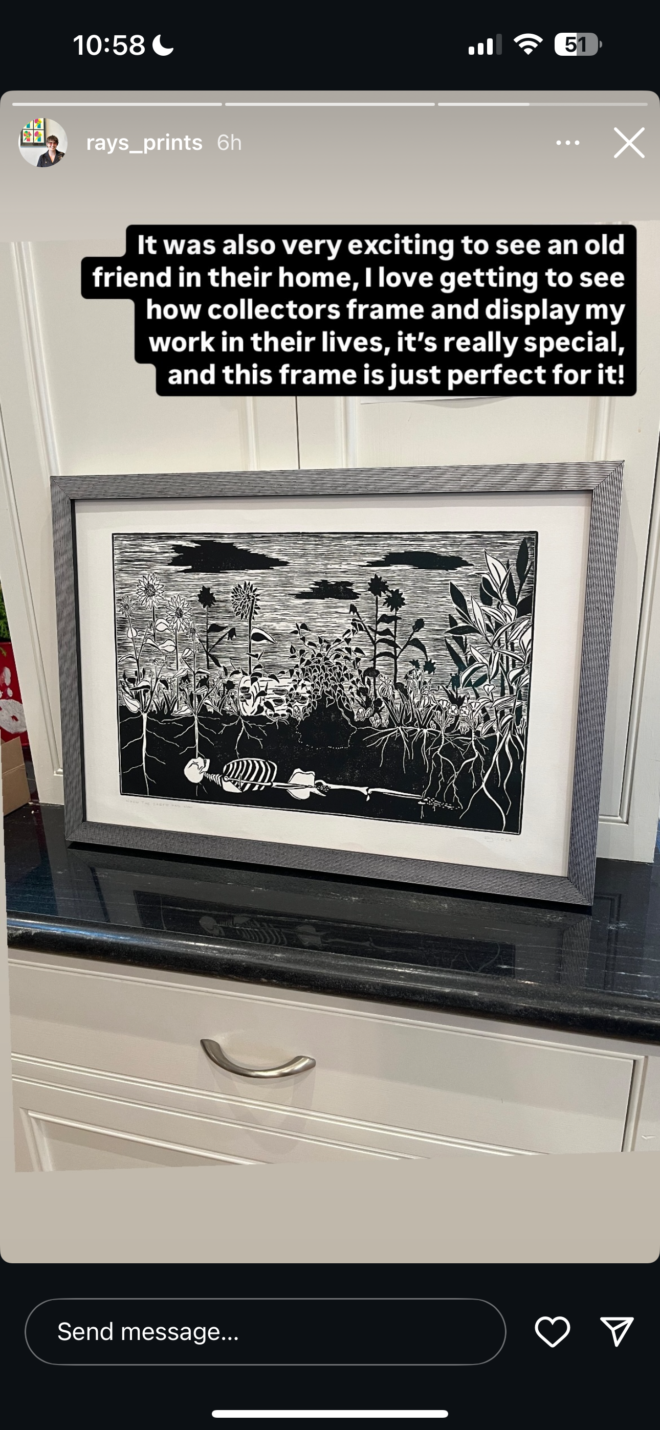
Plants Over Skeleton - Ray Gonzalez - 2024
Embrace - Megan Bigelow - date unknown
To create a story about your collection
If you are interested in creating a story about your collection, email Tom Paper at tom@pixeum.org or Sarah Paper at sarah@pixeum.org.
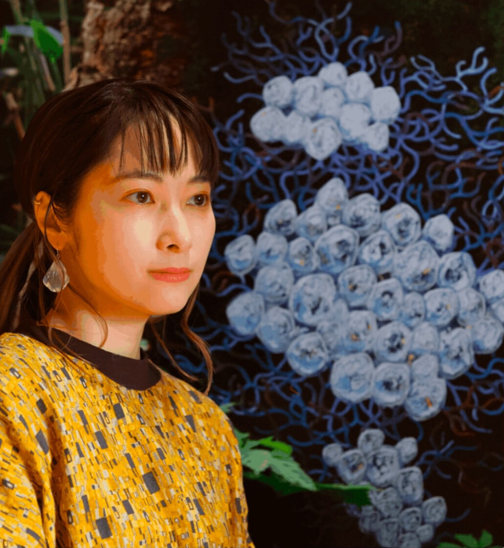
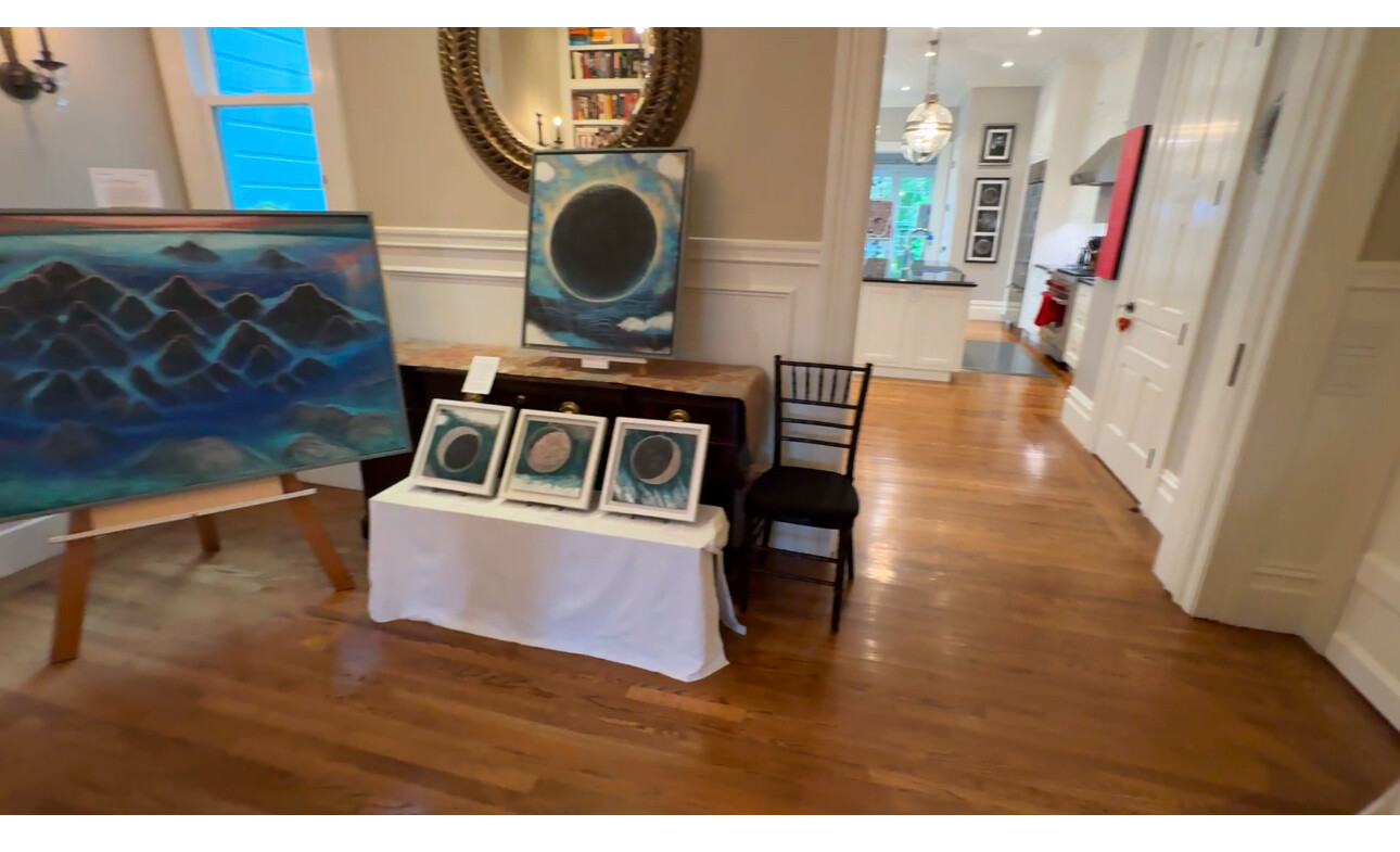
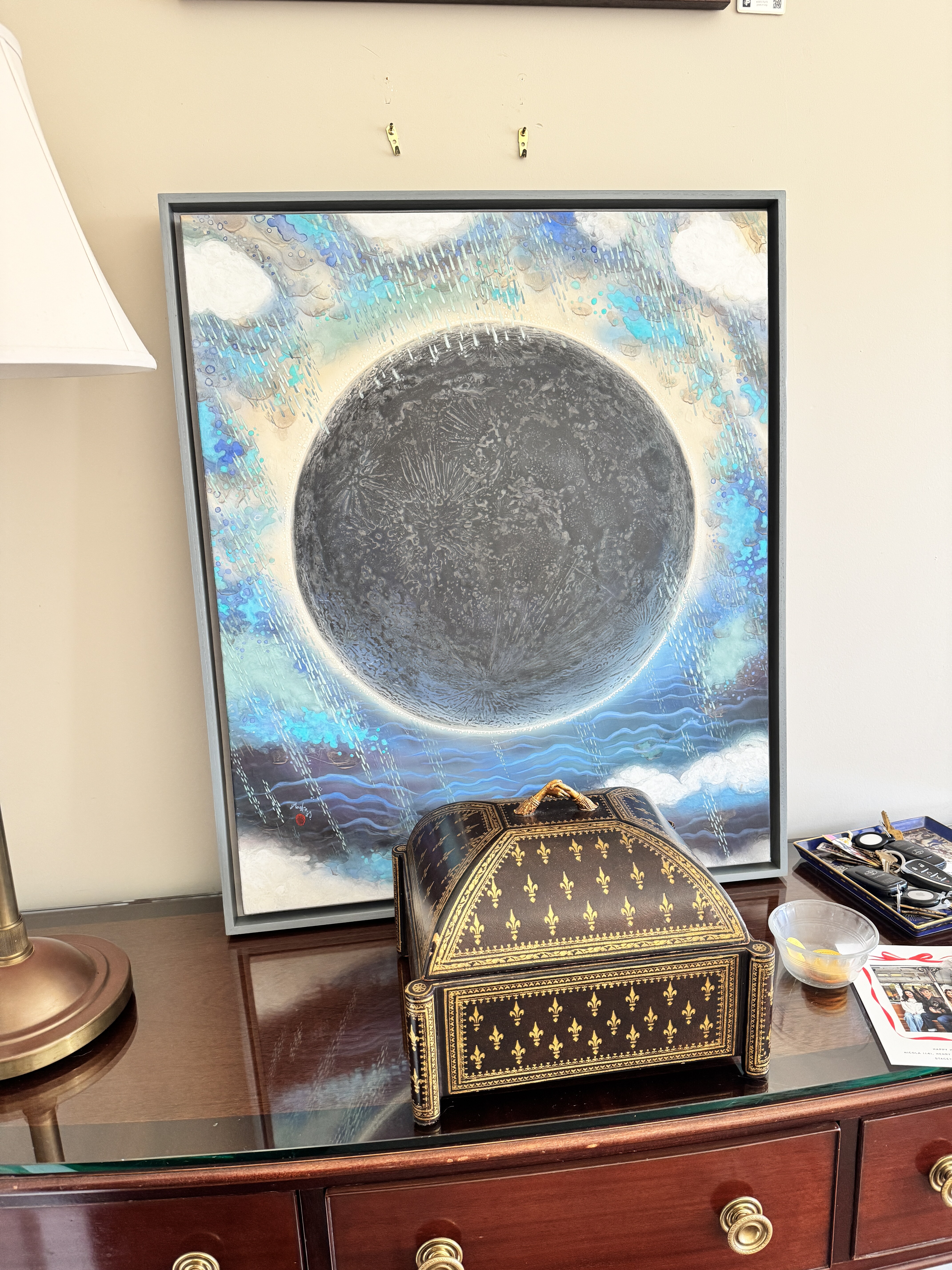
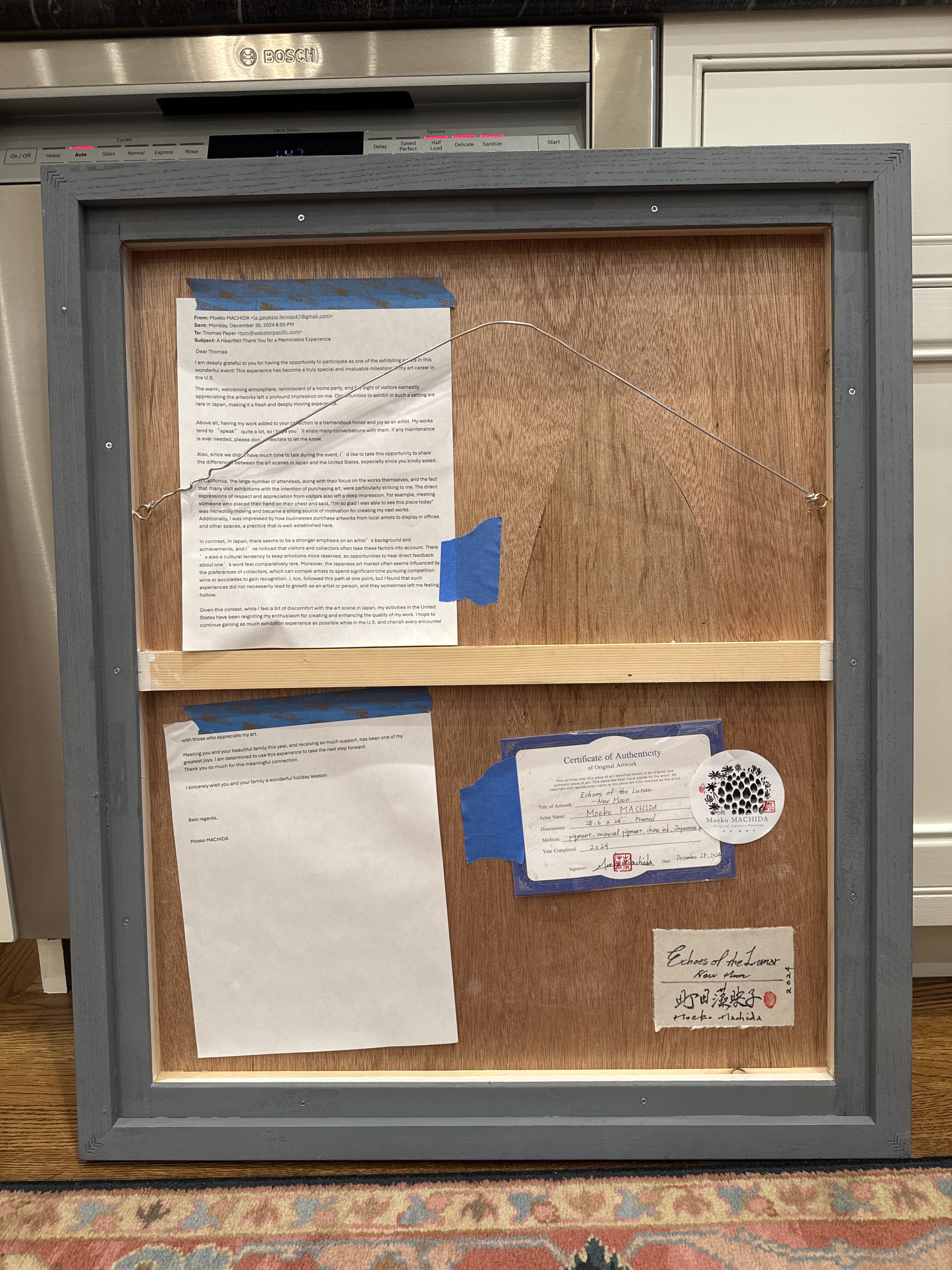
Echoes of the Lunar New Moon - Moeko Machida - 2024
[ 2025-01-02 16:25:59 ]
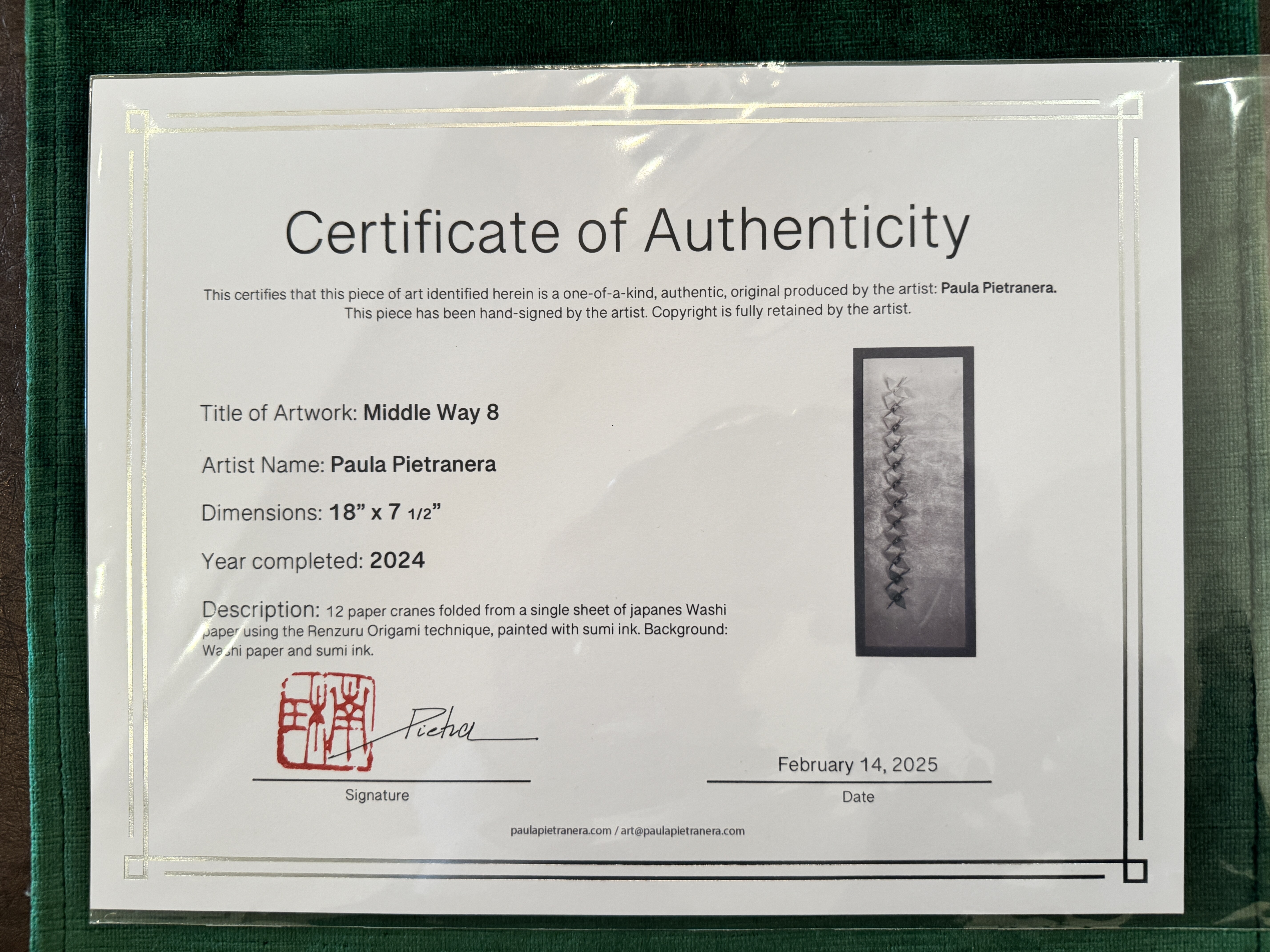
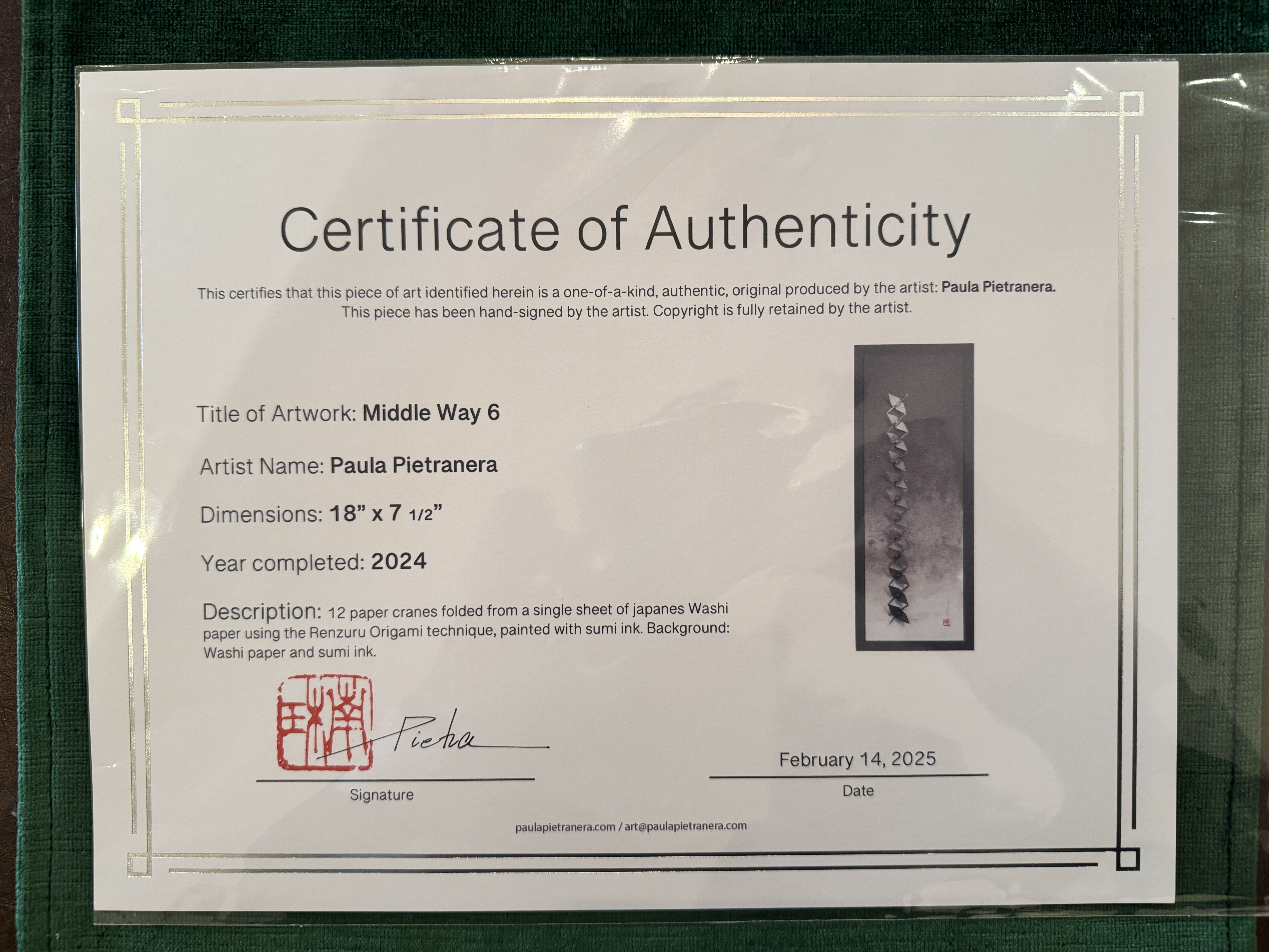
Middle Way 6 & 8 - Paula Pietranera - 2025
Art from Sicily on papyrus
From perplexity: The Trinacria, Sicily's emblem, features three bent legs radiating from the head of Medusa, symbolizing the island's triangular shape and its three capes: Peloro, Passero, and Lilibeo. Medusa's head represents protection, while the wheat ears signify fertility. The symbol dates back to ancient Greece, when Sicily was called "Trinacria," meaning "three-pointed." It was later adopted during the Sicilian Vespers in 1282 and became central to Sicily's flag in 1943. The Trinacria reflects Sicilian mythology, history, and pride, appearing widely in art and souvenirs as a timeless icon of the island's identity123.
- https://www.excursionssicily.com/trinacria-symbol-of-sicily/
- https://livtours.com/blog/the-trinacria-the-symbol-of-sicily/
- https://www.italynotes.com/stories/trinacria
- http://www.grandvoyageitaly.com/piazza/trinacria-this-sicilian-symbol-has-got-legs
- https://en.wikipedia.org/wiki/Flag_of_Sicily
- https://www.facebook.com/photo.php?fbid=1046757176922265&id=100047639785393&set=a.580637420200912
- https://www.paolomodena.com/italian-art-at-home/the-sicilian-trinacria-undercover-the-mystery-behind-the-symbol/
- https://www.thethinkingtraveller.com/blog/the-sicilian-flag
Bought in Sicily October 2024
The Sicilian legend of the Moor's Head tells of a young woman in Palermo's Kalsa district during the Moorish rule. A wealthy Moor fell in love with her and confessed his feelings. She reciprocated until discovering he had a wife and children back home. Enraged, she killed him in his sleep, severed his head, and used it as a planter for basil on her balcony. The flourishing plant drew attention, inspiring locals to craft ceramic pots resembling Moorish heads, which remain iconic in Sicilian culture today[3][4][6]. This tale symbolizes passion, betrayal, and revenge, blending history with folklore.
Sources
[1] Muslim conquest of Sicily - Wikipedia https://en.wikipedia.org/wiki/Muslim_conquest_of_Sicily
[2] Muslim Sicily - Wikipedia https://en.wikipedia.org/wiki/Muslim_Sicily
[3] THE LEGEND OF SICILIAN MOOR'S HEADS - Visit Sicily https://www.visitsicily.info/en/the-legend-of-sicilian-moors-heads/
[4] A Sicilian woman's revenge - Rebecca Bricker https://rebeccabricker.com/a-sicilian-womans-revenge
[5] Roger II's Sicily: A Cultural Fusion of Islamic and Christian Traditions https://memorients.com/articles/roger-iis-sicily-a-cultural-fusion-of-islamic-and-christian-traditions
[6] The legend of the Sicilian Moorish heads - Sicily Lifestyle https://www.sicilylifestyle.com/the-legend-of-the-sicilian-moorish-heads/
[7] The Legacy of Sicily – Hiba | Islamic Books & Accessories https://www.hibamagazine.com/the-legacy-of-sicily/
[8] Muslims in Norman Sicily https://muslimheritage.com/muslims-norman-sicily/
Papyrus thrives in **warm, frost-free environments** with **full sun to partial shade**. It requires **moist to wet soil** or shallow water, making it ideal for marshy areas, ponds, or water gardens. The soil should be fertile and rich in organic matter. Consistent moisture is crucial, as the plant cannot tolerate dryness[1][4][6].
Sources
[1] Papyrus Plants: How To Grow Papyrus - Gardening Know How https://www.gardeningknowhow.com/ornamental/foliage/papyrus/papyrus-plants.htm
[2] Umbrella Papyrus (Cyperus alternifolius) Plant Care Guide https://www.healthyhouseplants.com/indoor-houseplants/umbrella-papyrus-cyperus-alternifolius-plant-care-guide/
[3] Papyrus, Cyperus papyrus - Wisconsin Horticulture https://hort.extension.wisc.edu/articles/papyrus-cyperus-papyrus/
[4] Papyrus Plant: Tips for Thriving Growth and Easy Maintenance https://dwello.in/news/papyrus-plant-tips-for-thriving-growth-and-easy-maintenance
[5] Graceful Grasses® King Tut® - Egyptian Papyrus - Proven Winners https://www.provenwinners.com/plants/cyperus/graceful-grasses-king-tut-egyptian-papyrus-cyperus-papyrus
[6] How to Plant and Grow Papyrus - Better Homes & Gardens https://www.bhg.com/gardening/plant-dictionary/water/papyrus/
[7] Growing Papyrus: For the Love of Water - Dengarden https://dengarden.com/gardening/for-the-love-of-water-growing-papyrus
[8] Papyrus Plant Care Guide: How to Grow Papyrus Plants - MasterClass https://www.masterclass.com/articles/papyrus-plant-guide
[ 2025-02-16 15:20:09 ]
City of Women - Rebecca Solnit - 2019
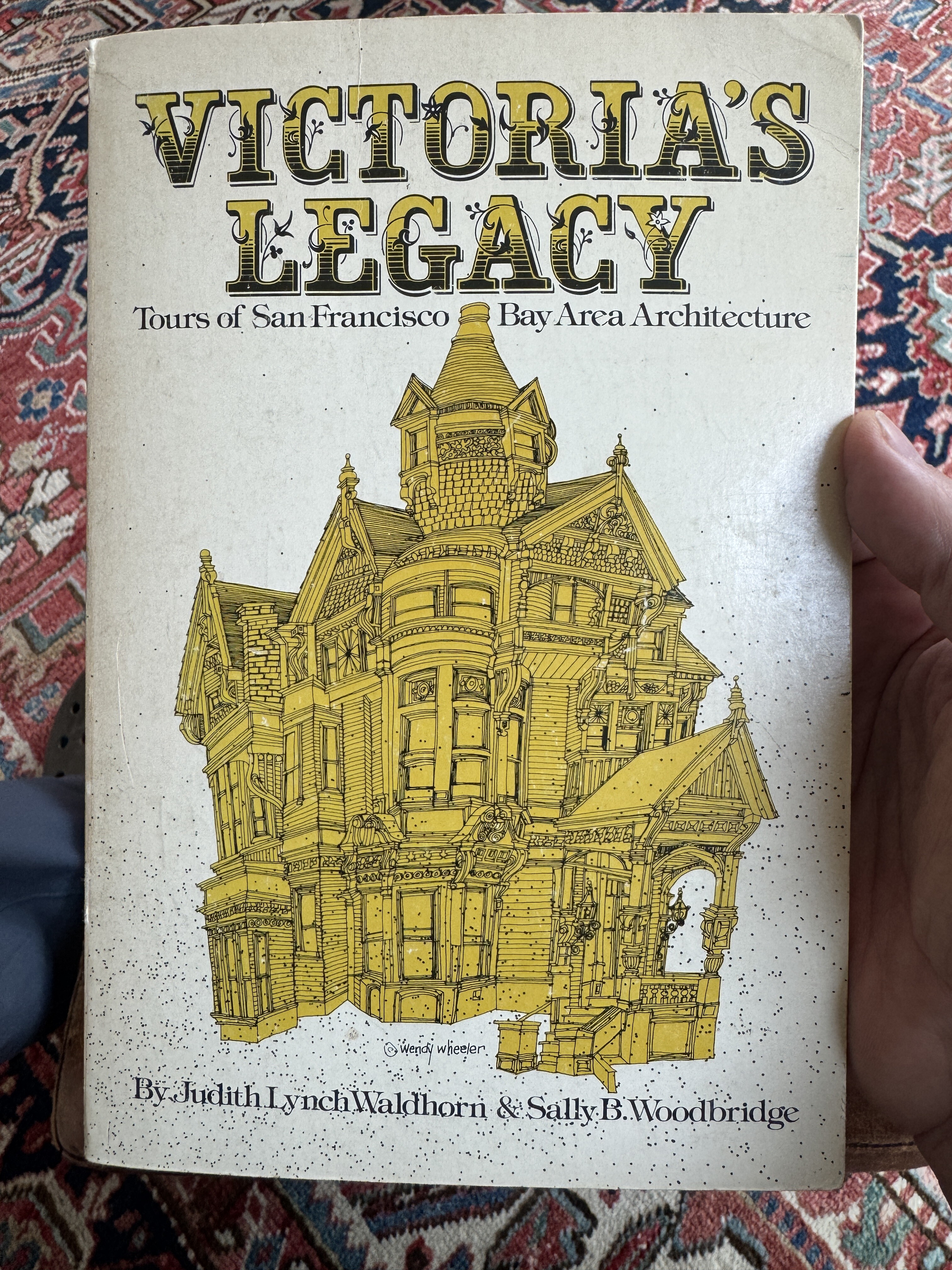
1911 Baker Street
Perplexity |
William Hinkel was a prominent builder and architect in 19th-century San Francisco, known for his contributions to the city's Victorian housing landscape. A German immigrant, Hinkel arrived in San Francisco in 1852 and began a family legacy of residential construction that spanned four generations. His work, along with that of his descendants, helped shape iconic neighborhoods like Pacific Heights, the Western Addition, and Eureka Valley, where rows of Italianate-style homes still stand as a testament to their craftsmanship19.
Hinkel specialized in designing and constructing Italianate-style homes, which were popular among San Francisco's middle class during the late 19th century. His projects often featured hallmark elements such as bracketed cornices, projecting bays, and arched windows. Notably, he built several rows of homes on Webster Street in the Western Addition, which remain part of the city's historic fabric today9.
Hinkel's attention to detail and quality extended to his personal projects. For example, his brother Charles Hinkel built notable residences like the Charles Lewis Hinkel House at 280 Divisadero Street, showcasing transitional Second French Empire architecture15. Together, the Hinkel family left an enduring architectural legacy that continues to define San Francisco's historic charm.
Citations:
- https://noehill.com/sf/landmarks/sf190.asp
- https://www.zillow.com/homedetails/1709-Broderick-St-San-Francisco-CA-94115/15083084_zpid/
- https://victoriamansion.org/wp-content/uploads/2019/04/AR2019web.pdf
- https://jacksonfuller.com/insight/blog/a-very-short-history-of-victorian-homes-in-san-francisco/
- https://www.tailormadeitineraries.com/post/the-tailor-made-guide-to-the-victorian-architecture-of-san-francisco
- https://www.priceypads.com/live-like-a-tanner-iconic-full-house-home-lists-for-6-5-million-in-san-francisco-california/
- https://beaverdalebooks.com/what-were-reading/hunter/
- https://savingplaces.org/stories/haas-lilienthal-san-francisco-victorian
- https://default.sfplanning.org/Preservation/walking_tours/Walking_Tour_WEBSTER_STREET.pdf
- https://ohp.parks.ca.gov/pages/1067/files/CA_San%20Francisco%20County_John%20A.%20Whelan%20House_DRAFT%202020-03-13.pdf
Answer from Perplexity: https://www.perplexity.ai/search/write-a-200-word-history-of-th-3dQBrAucS7qmh5UEoSCSyg?utm_source=copy_output
[ 2025-03-23 20:38:21 ]
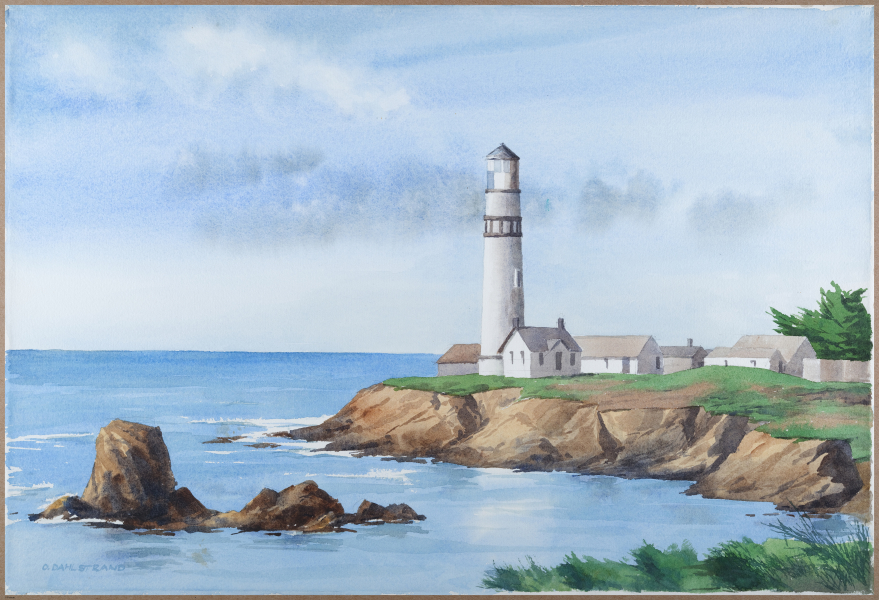
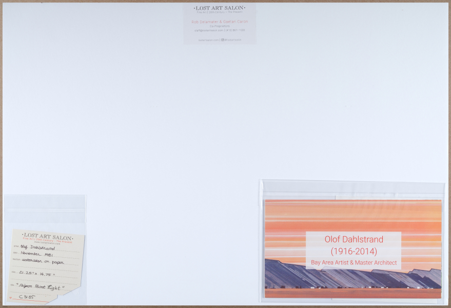
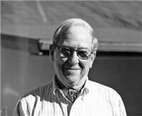
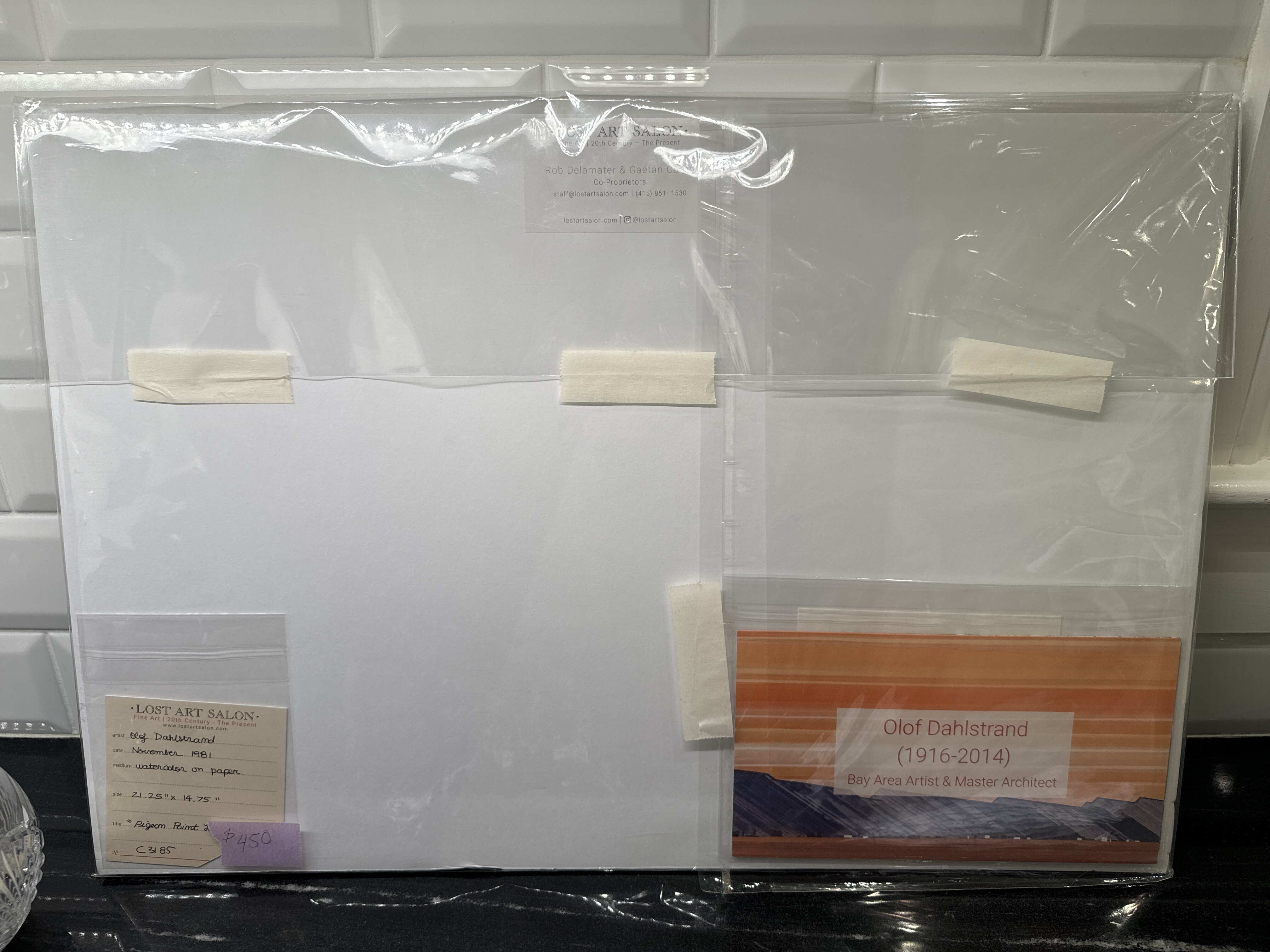
Pigeon Point - Olof Dahlstrand - 1981
Olof Dahlstrand - UC Berkeley bio
Bought from Lost Art Salon, November 2024.
“He was a talented architect and artist whose career included the design of many homes and buildings in the Carmel area such as the Wells Fargo Bank building, and in the S.F. bay area as well. As an artist he belonged to the Carmel Art Association and enjoyed both painting and drawing.” Legacy.com
00:00
OK. So here we are. Eleanor bought this lovely piece of the of the Pigeon Point Lighthouse.
00:05
And what's the story about the artist? What did they do before The artists name is Olaf Doll Strand.
00:12
He lived in the 1900s. Was born in 1916. Died recently in 2014.
00:18
He was a Bay Area architect. He did a lot of UM building in the Oakland Hills, and um, he also looked plain air painting.
00:29
And the piece that I purchase is a Pigeon Point lighthouse in Half Moon Bay, and it's quite beautiful.
00:35
I think it's water color, and I'll find out more later.
00:39
And, and you bought it at the loss starts Loon on october 13 or fourteenth, 2024.
00:49
And they have a collect, they got a collection of his from his children, and have been selling it recently.
00:56
And so this was kind of his side gig. Well, he, he loved painting, yes, but he was an architect, primarily Tim pay his bills, Left painting.
01:06
Okay. Okay.
[ 2024-11-16 01:38:21 ]
[ 2025-08-24 17:39:08 ]
[ 2025-08-24 17:39:08 ]
Transcription | Voice Note [2025-11-09 16:41]
----------------------
I bought this piece from. Jesse Hinckley. Uh, who runs the Klein Maker space. And these pieces were done by, I think her aunt, and it's this one, and then another one of a woman. Um, and I just thought they were beautiful. Uh, they're made with little beads. Uh, they, they were very inexpensive. Um, she did this by hand. I, I just think they're. Yeah, they're beautiful. Uh, uh, love them. OK. Uh, in La Junta, the Kleinmaker space in La Junta, Colorado.
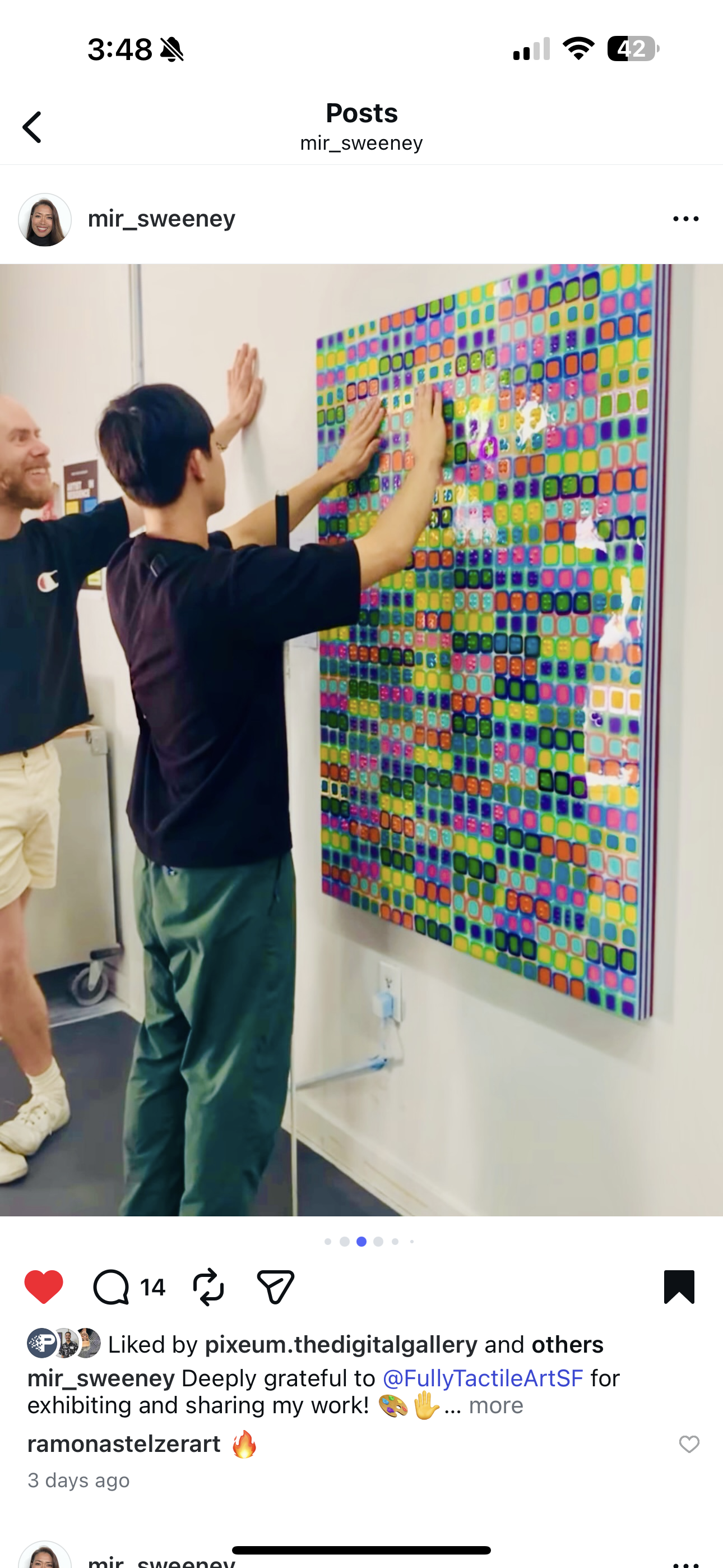
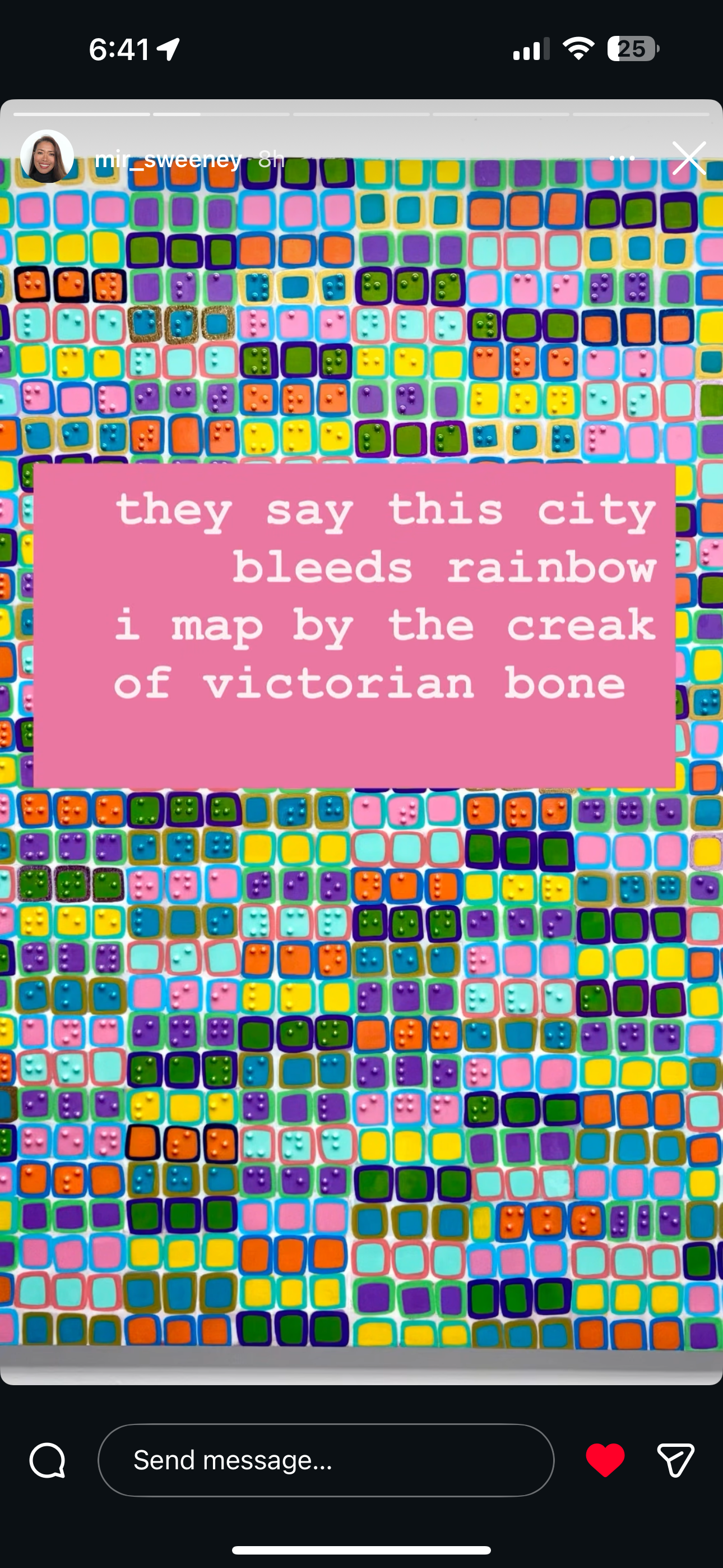
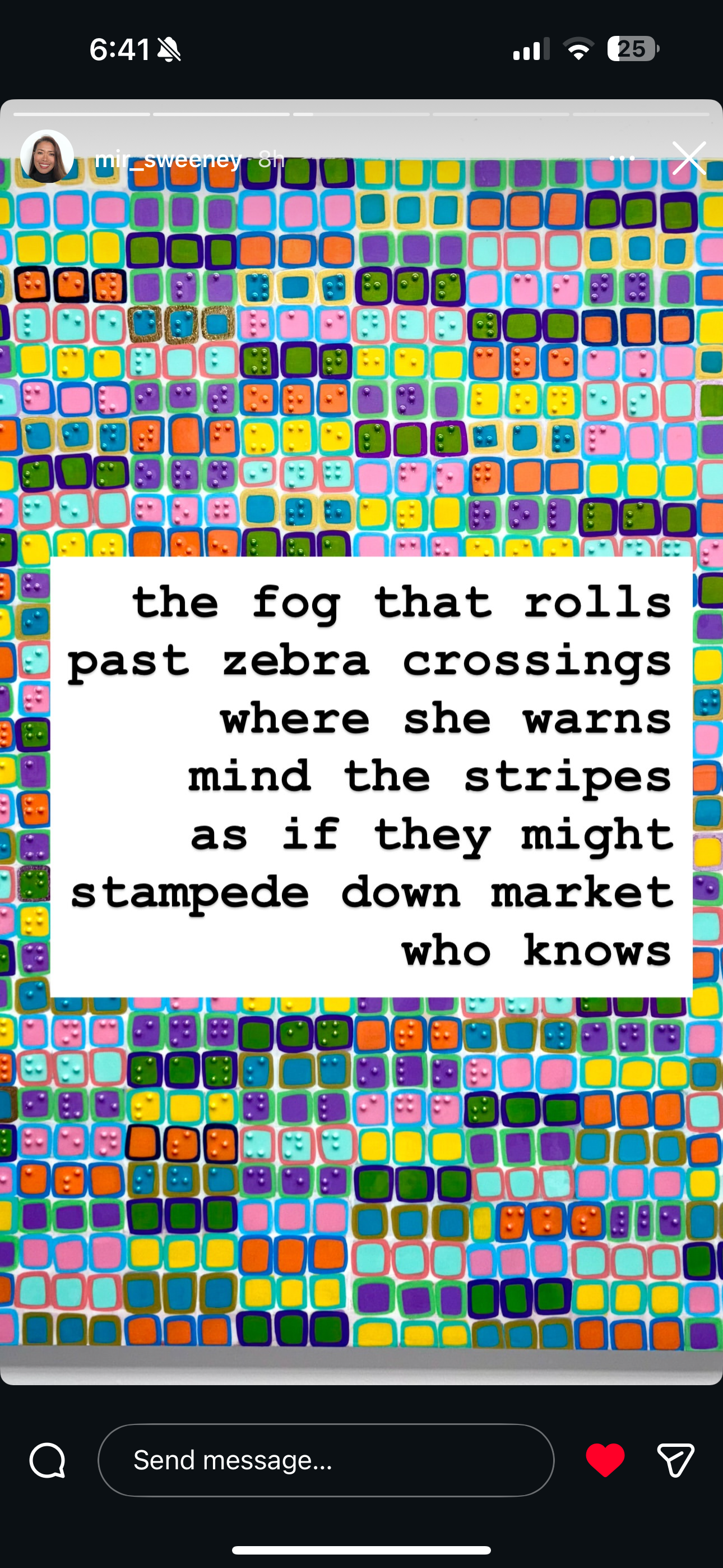
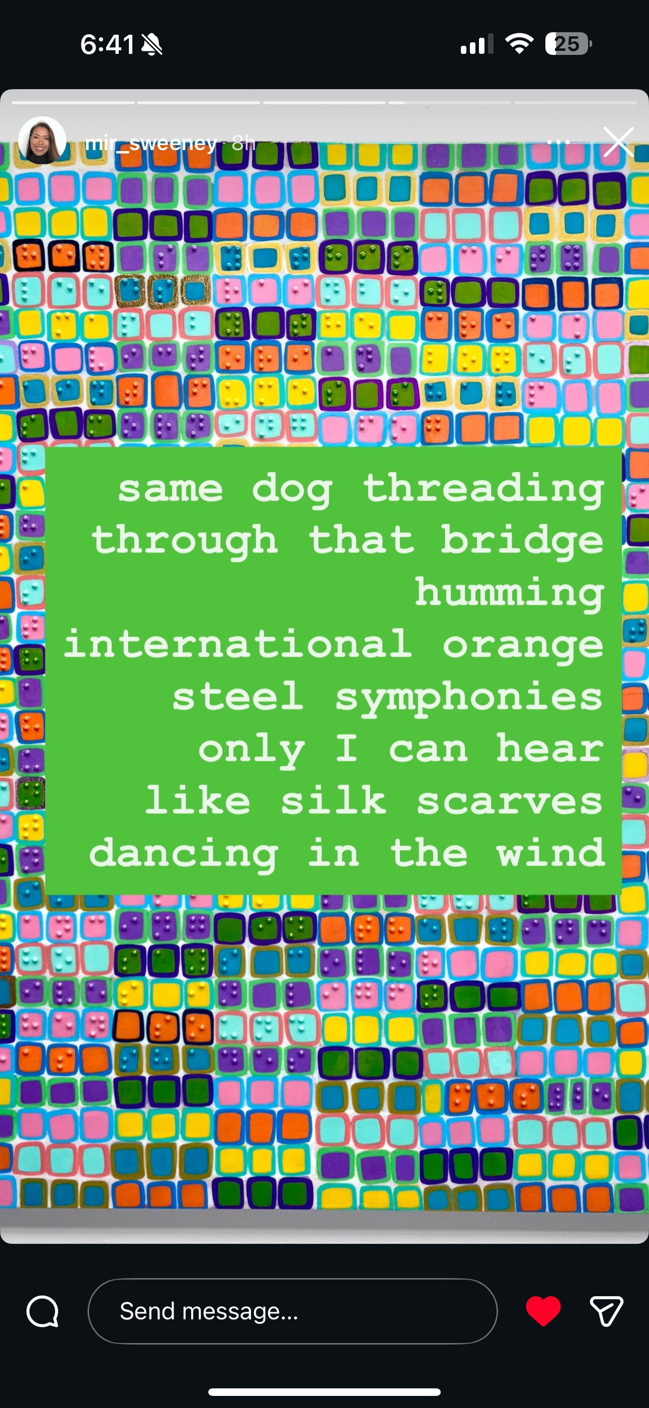
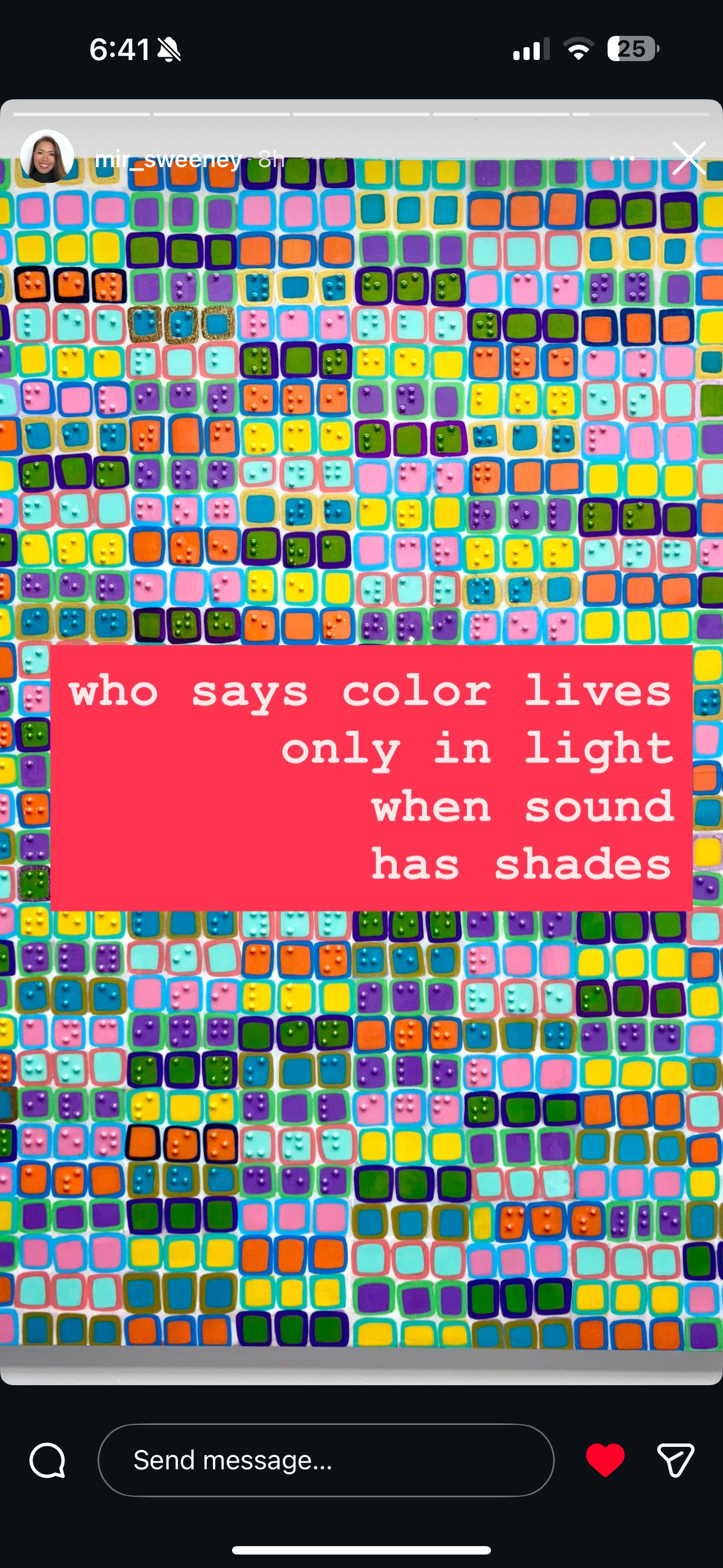
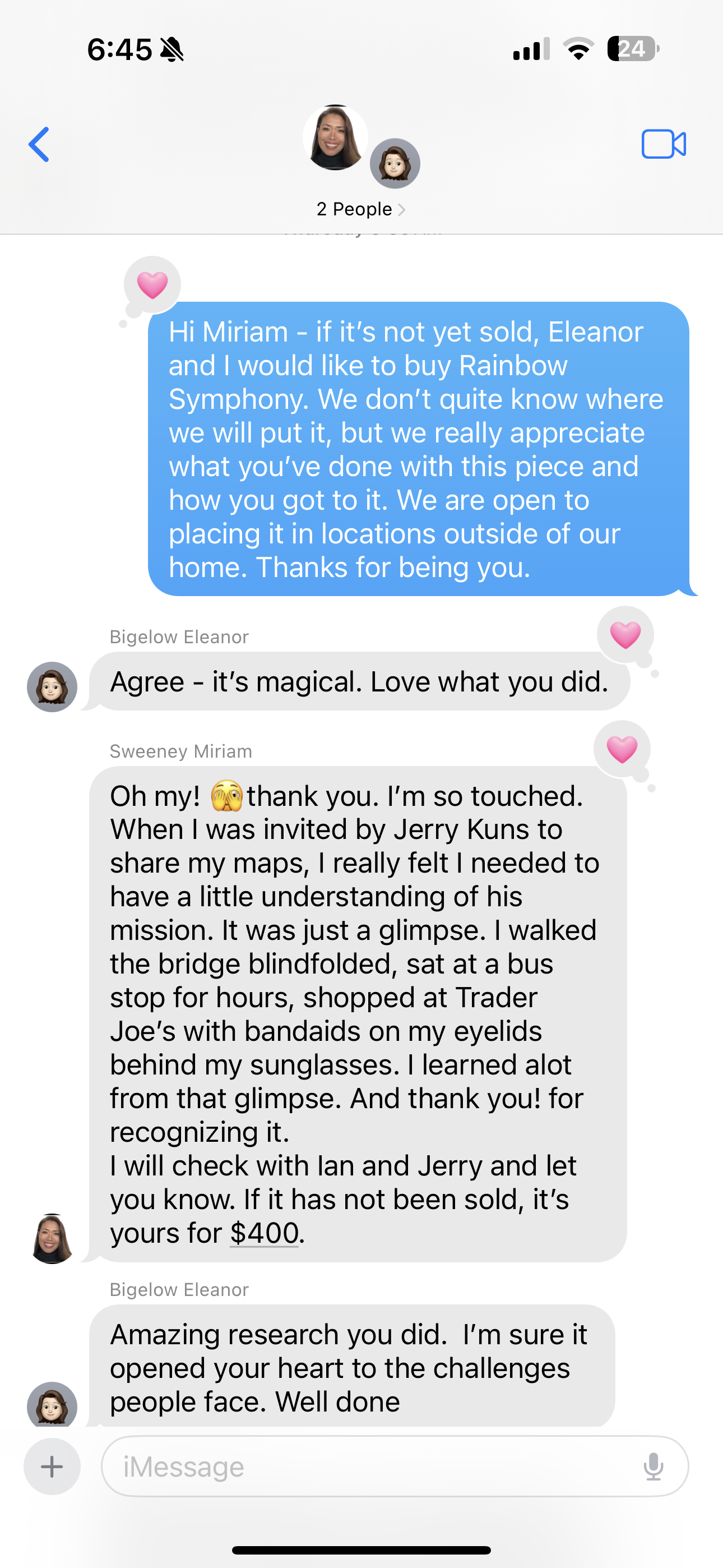
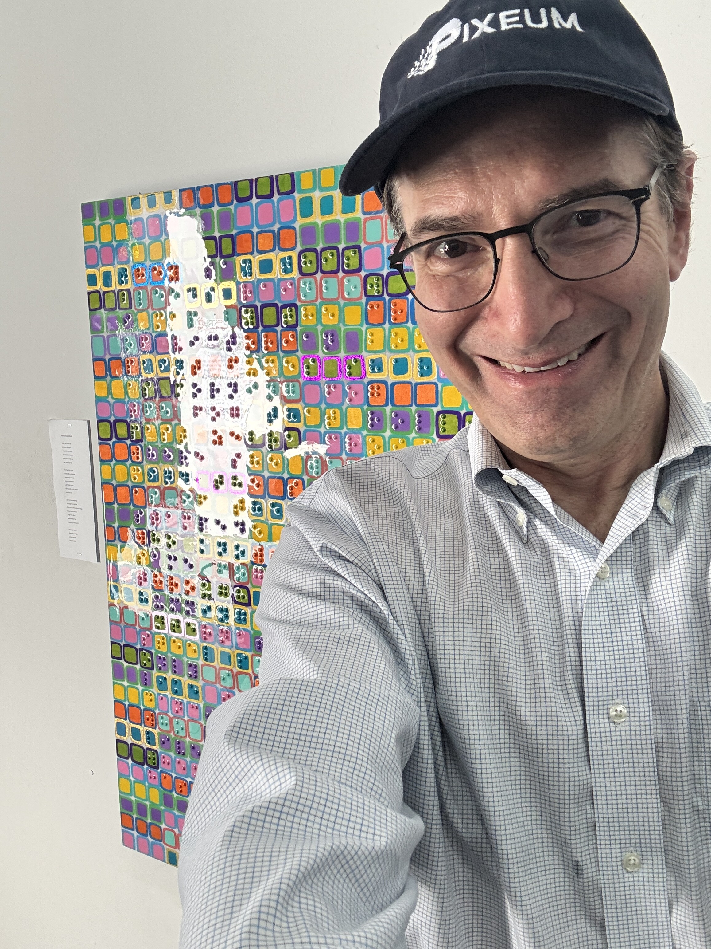
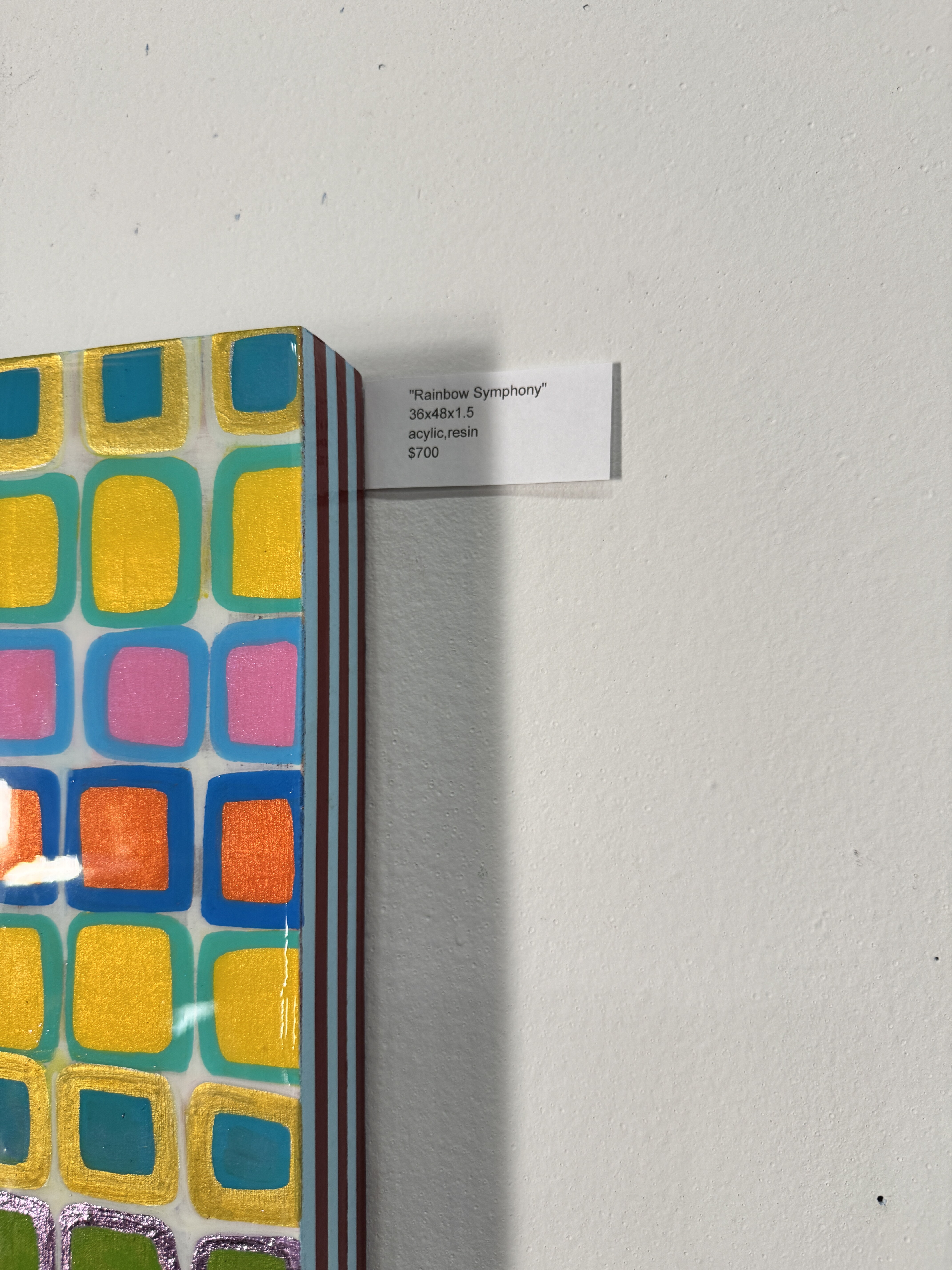
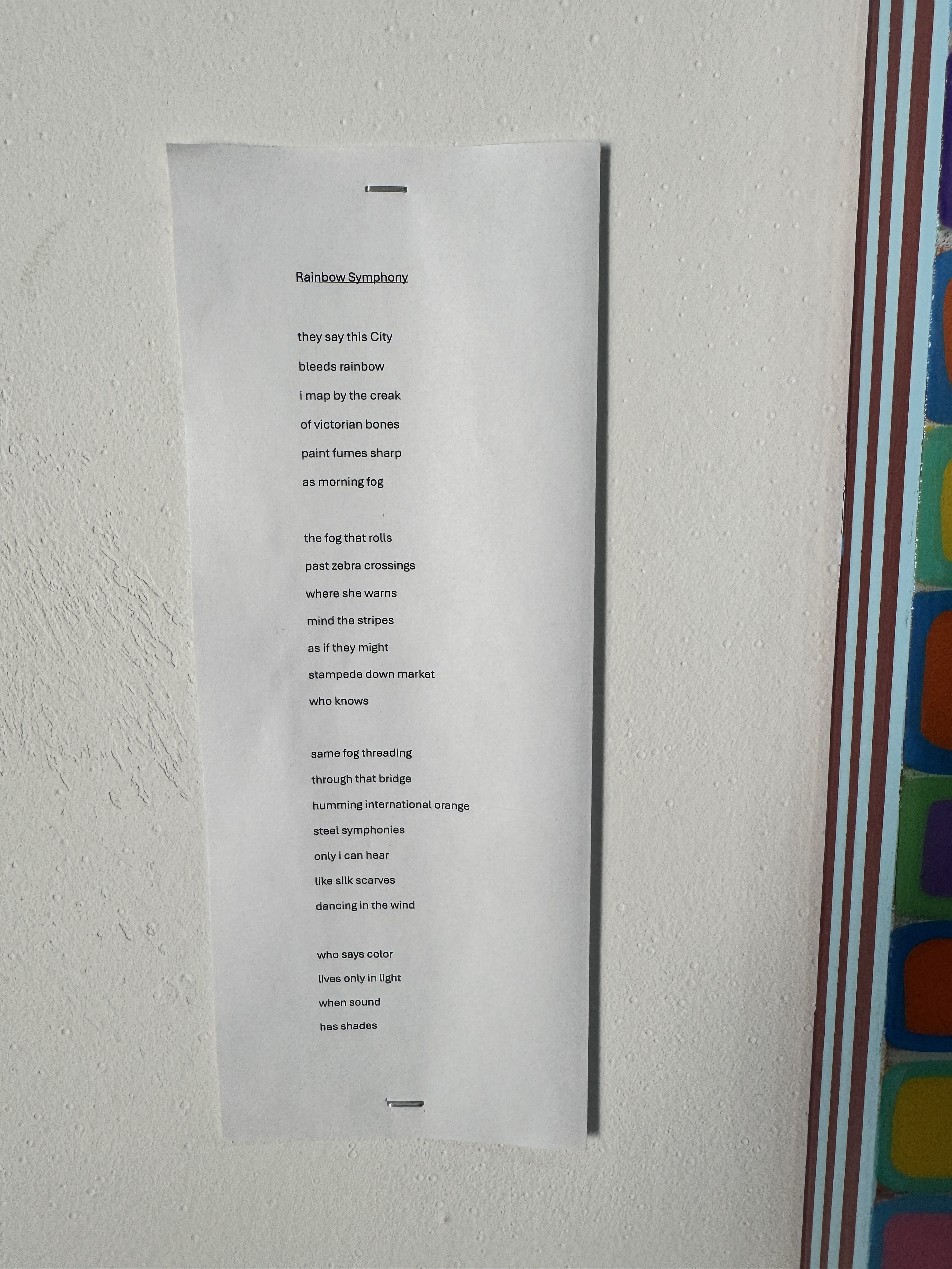
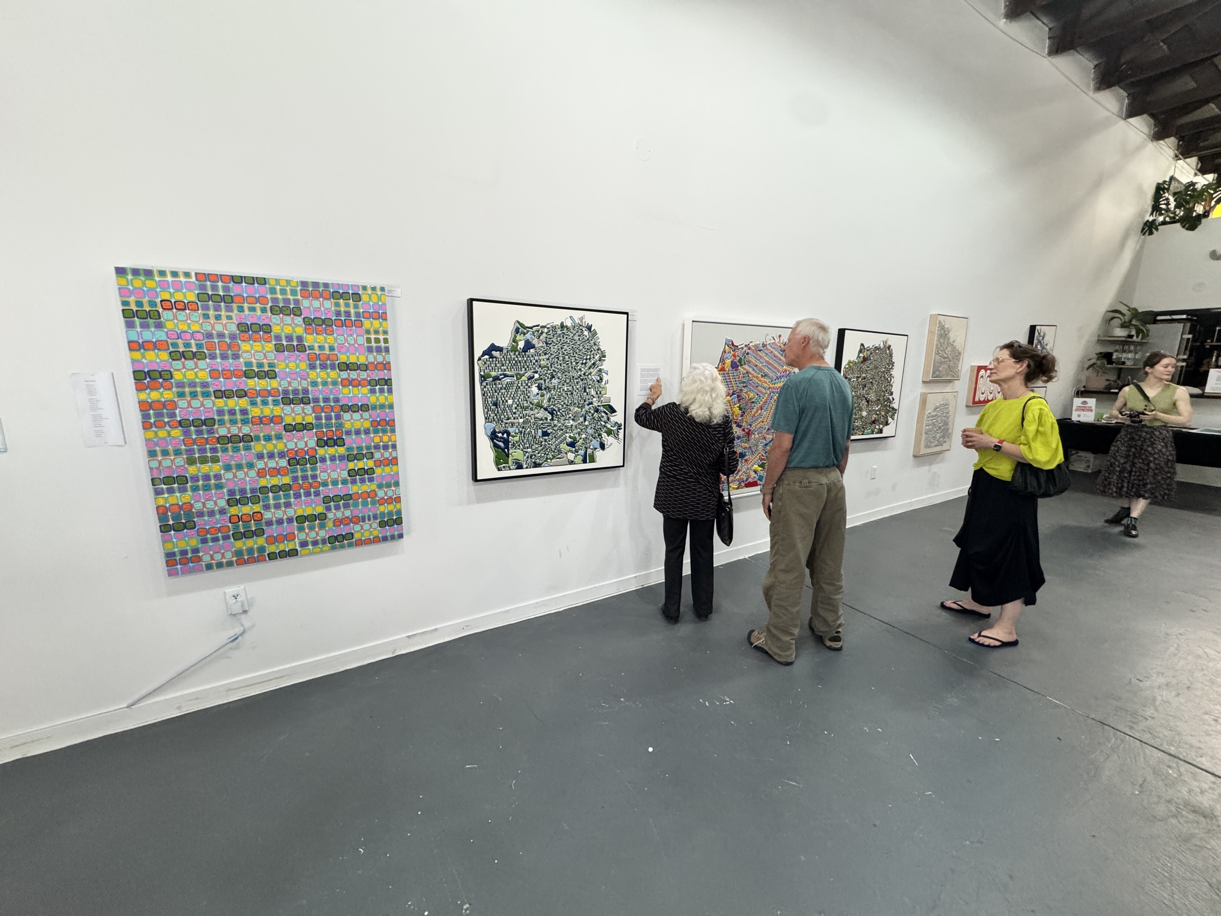
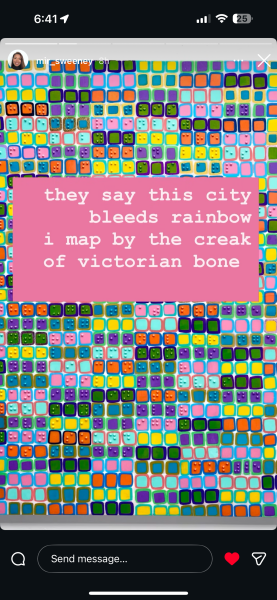
Rainbow Symphony - Miriam Sweeney - 2025
[ 2025-10-13 17:10:19 ]
[ 2025-10-13 17:11:19 ]
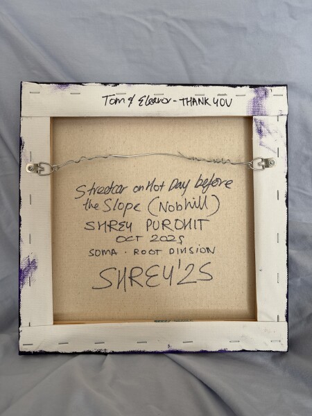
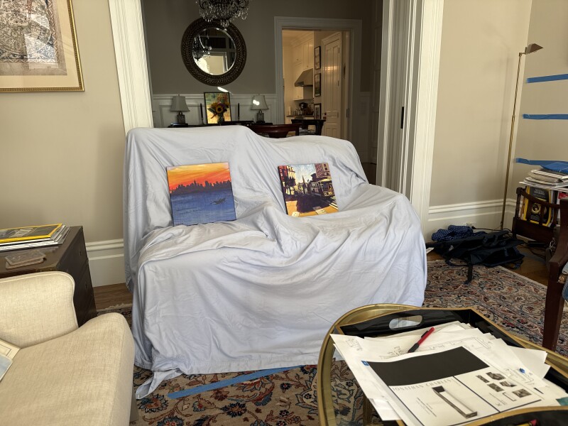
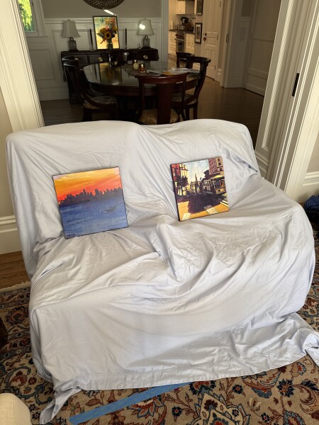
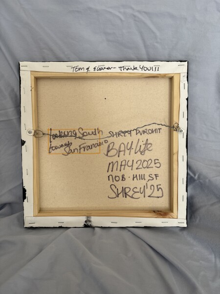
by Shrey Purohit
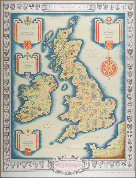
E205 - Big Paper Collection - 9985
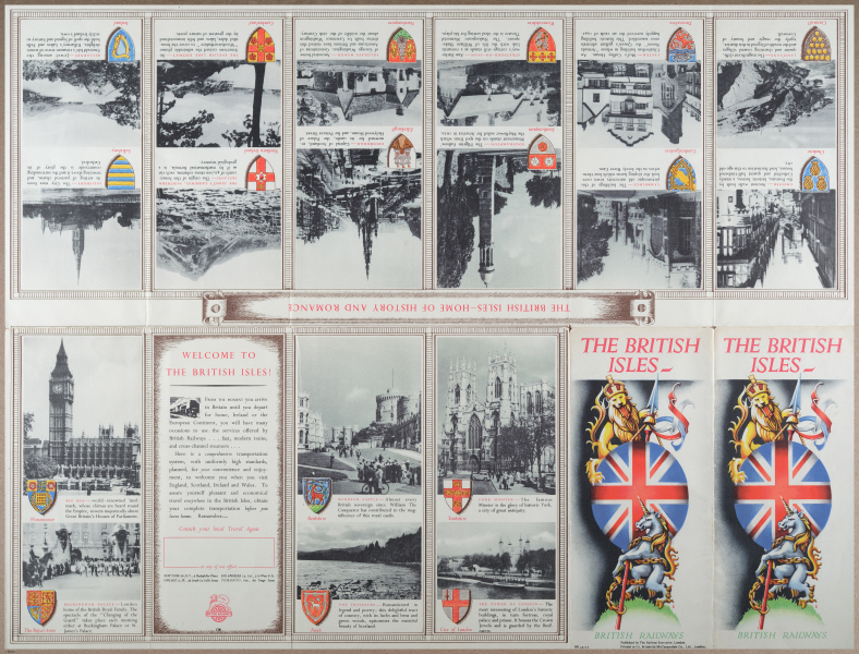
The British Isles. 1951 (undated) 22.75 x 17.5 in (57.785 x 44.45 cm) 1 : 2650000
The British Isles, surrounding seas, and a portion of northwest France are included, with illustrations representing towns, cities, and landmarks, including Nelson's Column in Trafalgar Square, dancing clansmen in the Scottish Highlands, and the Government Buildings in Dublin. Red lines trace the lines of British Railways, as well as the small handful of railways not nationalized in 1948 and the railways of Ireland, which remained partially integrated and independent of British Railways despite partition in the early 1920s. The four countries of Great Britain are listed in cartouches adorned with representative flowers and coats of arms. Ireland is displayed as unified and seemingly as part of Great Britain, much to the annoyance of Irish nationalists, no doubt. Text used for the names of seas is done in the ornate style of early modern copperplate engraved maps. Surrounding the map are additional coats of arms of various British cities. The verso includes photographs and promotional text of the landmarks and cities visited by the rail network.The Birth of British RailwaysBoth British Railways and the British Transport Commission referenced on the title panel on the verso were the brainchild of Clement Atlee's postwar Labour government. In fact, the nationalization of Britain's railways had begun several decades earlier, with the state taking over management of the railways during the First World War. In 1921, a Railways Act grouped dozens of existing private railways, most of which were facing financial trouble, into four large railway companies, each assigned a geographic region of Britain. After World War II, these 'Big Four' were fully nationalized, as numbers of passengers continued to decrease. The railways were privatized in the mid-1990s, though the logo and name British Rail (the name of British Railways after 1965) continue to be used in stations throughout Great Britain. In recent years, financial difficulties have led to a number of lines (such as the London North Eastern Railway and Iarnród Éireann in Ireland) being effectively renationalized as public corporations.Publication History and CensusThis map was drawn by Cecil Meyer, designed at the 'Studio of C. and E. Leyton Ltd.' (likely the London printers Charles and Edwin Layton), and printed by D. R. Hillman and Sons for British Railways. The map is undated, and is sometimes erroneously dated to the 1930s, but, as discussed above, it must date to 1948 or later as British Railways did not exist until that time. The OCLC notes examples at the University of Wisconsin Milwaukee, the University of Michigan, and Utrecht University.
.
Place a DOT on the image


