

The Cartographic History of San Francisco
Step 0 of 0
1
E166 - San Francisco Cartographic History Title Page
2
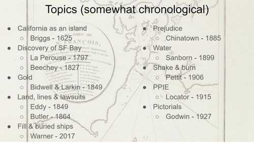
E166 - San Francisco, Topics
3
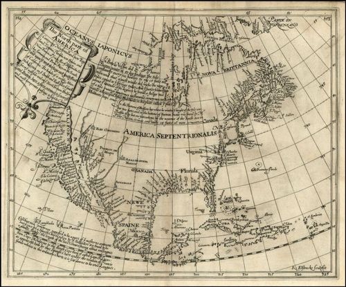
E166 - North America, by Henry Briggs, 1625
4
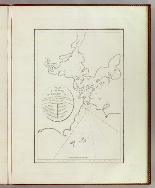
E166 - San Francisco Bay, by La Perouse, 1797
5
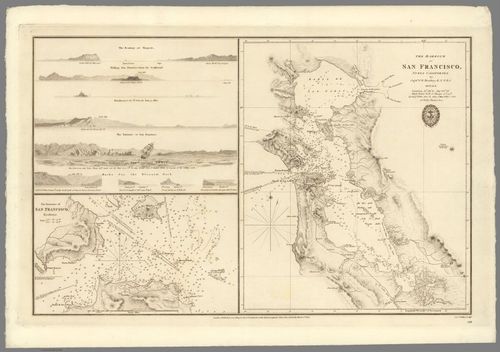
E166 - San Francisco Bay, by Beechey, 1827
6
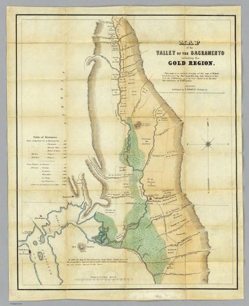
E166 - San Francisco & Gold Country, Bidwell & Larkin, 1849
7
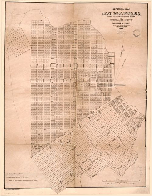
E166 - San Francisco, by William Eddy, 1849
8
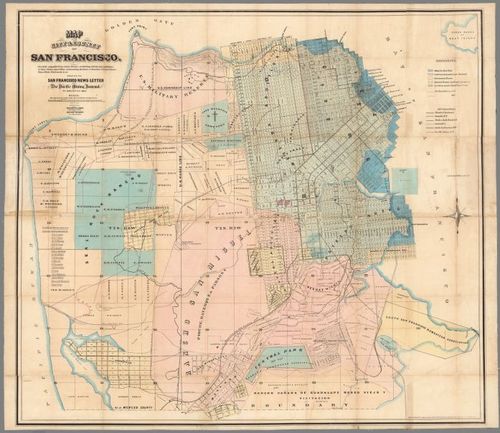
E166 - San Francisco Butler 1864
9

E166 - San Francisco Buried Ships, by Michael Warner, 2017
10
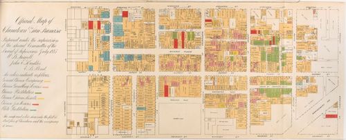
E166 - San Francisco Chinatown, by Board of Supervisors, Farwell, Kunkler & Pond, 1885
11
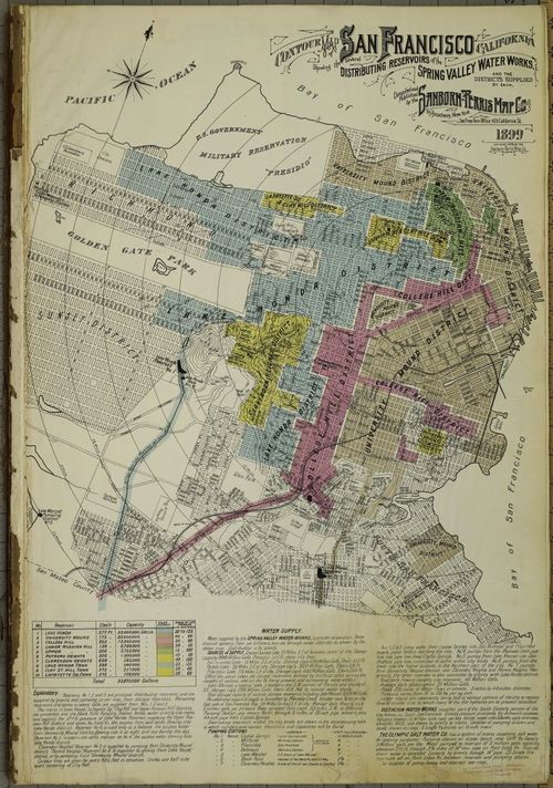
E166 - San Francisco, by Sanborn Map Company, 1899
12
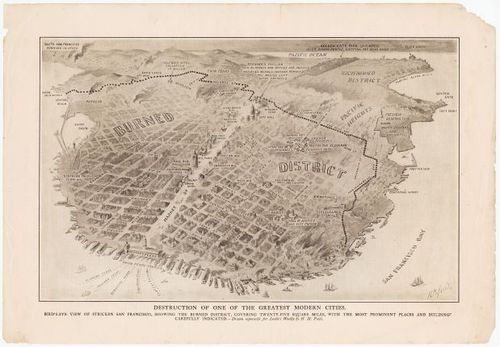
E166 - San Francisco, by Pettit, 1906
13

E166 - San Francisco, by Harrison Godwin, 1927
Place a DOT on the image