

Holy Lands - Images to go with the BC course - 2026
Step 0 of 0
1
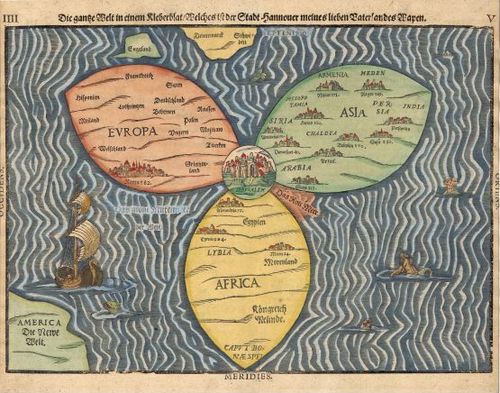
Bunting Cloverleaf Map - 1581
2
E126 IMCoS Martin Van Brauman DUPLICATED
3
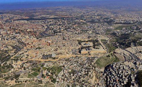
E126 Martin Van Brauman - Jerusalem photo DUPLICATED
4
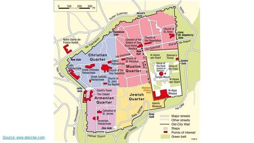
E126 Martin Van Brauman - Jerusalem map DUPLICATED
5
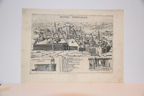
E126 Martin van Brauman - Civitas Hierusalem - Giovanni Francesco Camocio - 1570 DUPLICATED
6
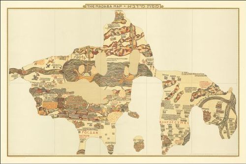
Madaba Map - 6th Century AD
7
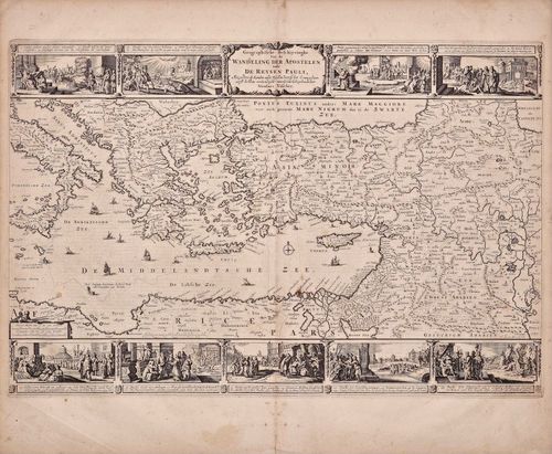
E34 - Walking Tour of the Apostle Paul 1669DUPLICATED
8
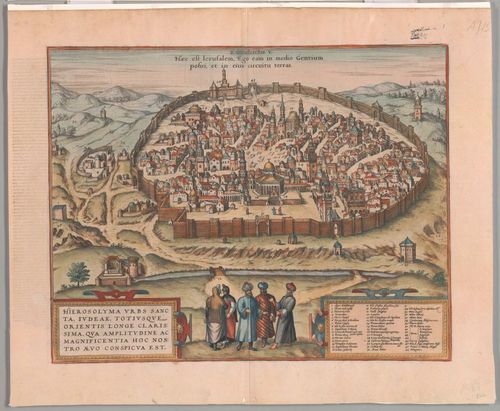
E581 - Eleven Interesting Aspects: Jerusalem by Hogenberg 1575.DUPLICATED
9
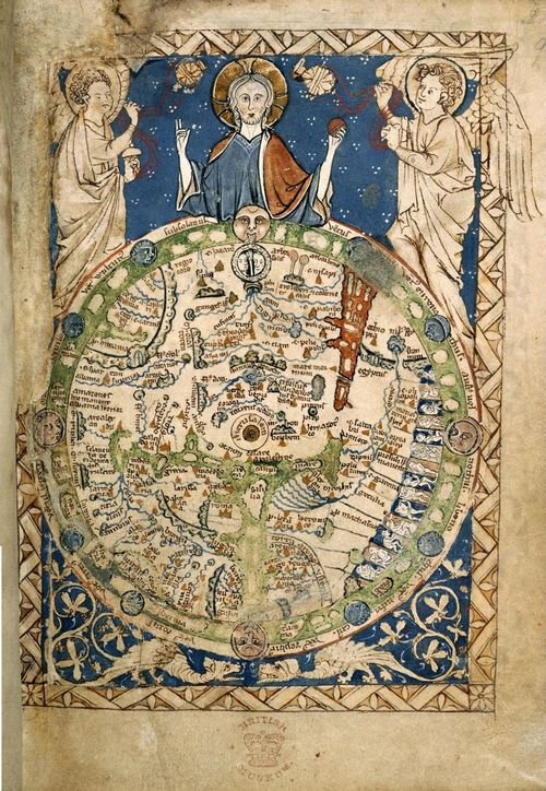
Psalter Map - artist unknown - 1265
10
![[ 2026-04-27 01:37:22 ]](https://iiif.pixeum.org/iiif/3/1777253863_69eebde7eceb9/full/500,/0/default.jpg)
[ 2026-04-27 01:37:22 ]
11
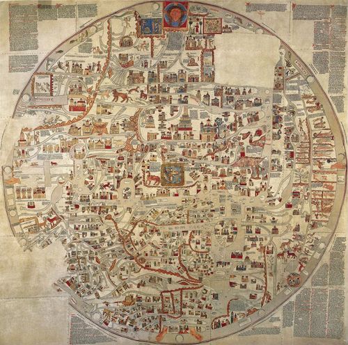
The Ebstorf Map 1234
12
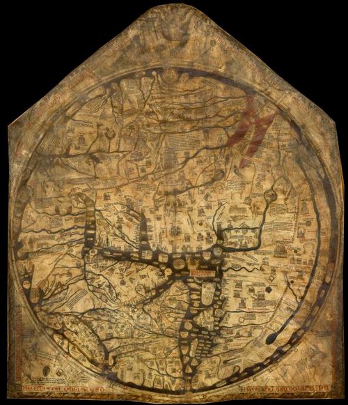
The Hereford Mappa Mundi c.1300
Place a DOT on the image