

Railroads and Canals from The David Rumsey Center
Step 0 of 0
1
E73 - Map of the Western Part of the State of New York - John Ogden Dey - 1825
2
E73 - Map of the State of New York - Anthony Finley - 1826
3

E73 - Map of the State of New York - Anthony Finley - 1827
4
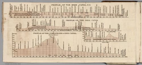
E73 - Profiles of Erie Ohio and Chesapeake Canals Ohio Railroad - Henry S Tanner - 1834
5
E73 - Map of the US and the Provinces of Upper and Lower Canada New Brunswick and Nova Scotia - John Walker - 1835
6
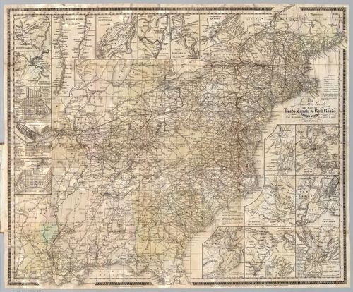
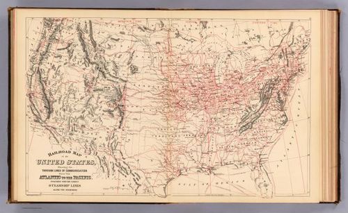
E73 - Map Of The Roads Canals and Rail Roads of the United States - Henry S Tanner - 1836
7
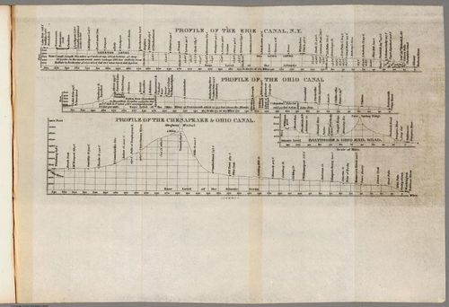
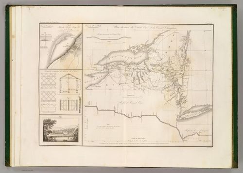
E73 - Profile of the Erie Canal NY - Henry S Tanner - 1840
8
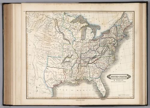
E73 - United States and Texas with all the Railways and Canals - William H Lizars - 1841
9
E73 - Manuscript Drawing - Henry S Tanner - 1842
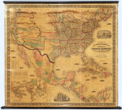
10
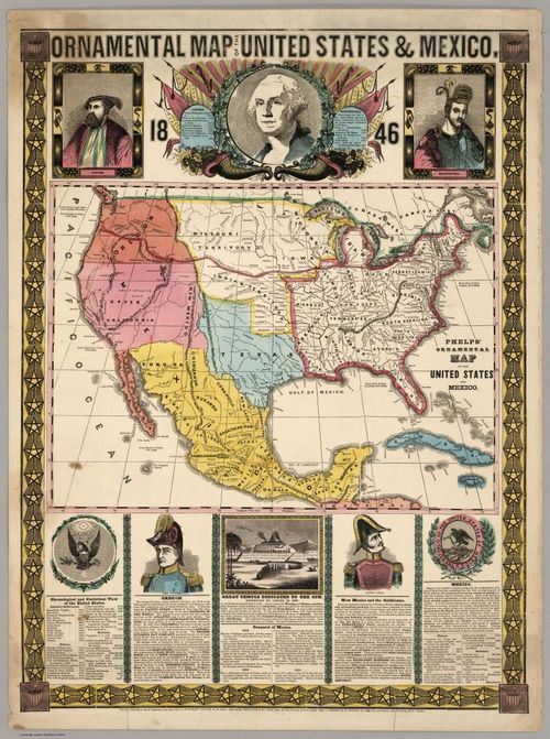
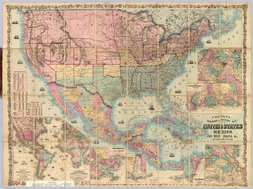
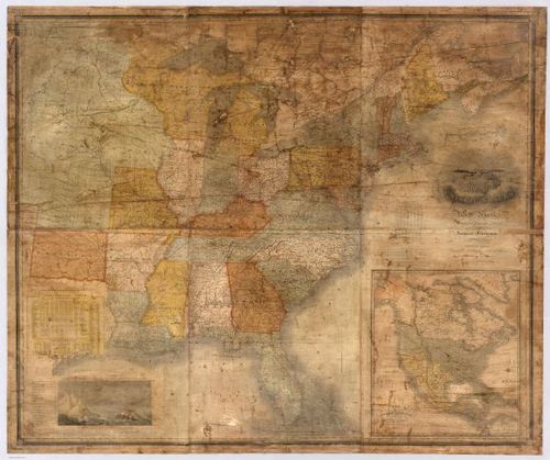
E73 - Ornamental Map Of The United States and Mexico - Humphrey Phelps - 1846
11
E73 - Map of North America showing possible Rail Routes Across the Continent - Asa Whitney - 1849
12
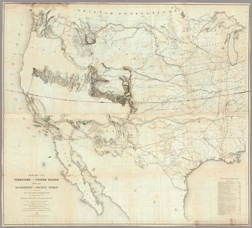
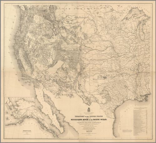
E73 - Map Of The Territory Of The United States From The Mississippi To The Pacific Ocean - Warren Gouverneur Kemble - 1855
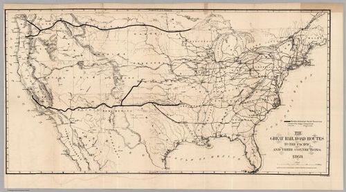
13
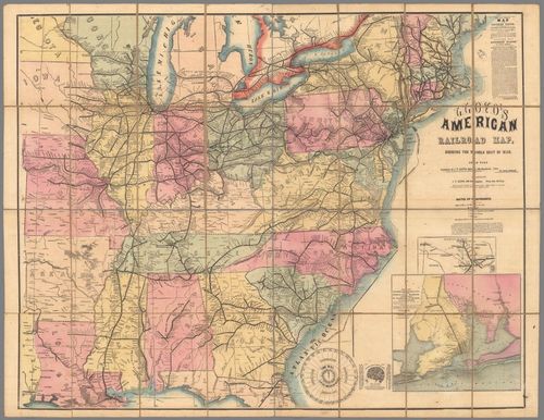
E73 - Lloyds American Railroad Map of the United States - James T Lloyd - 1859
14
E73 - Lloyds American Railroad Map Showing The Whole Seat of War - 1861
15
E73 - Coltons Railroad and Military Map United States - GW and CB Colton - 1862
16
E73 - Territory Of The United States From The Mississippi River To The Pacific Ocean - Freyhold Warren and Kemble - 1868
17
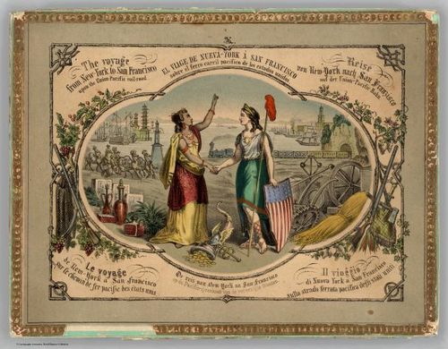
E73 - Voyage from New York to San Francisco upon the Union Pacific Railroad - 1870
18
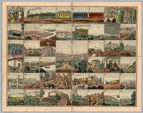
E73 - Game Board Voyage from New York to San Francisco upon the Union Pacific Railroad - 1870
19
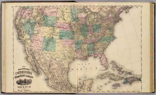
E73 - New Railroad Map of the United States Dominion of Canada Mexico and the West Indies - Alfred T Andreas - 1875
20
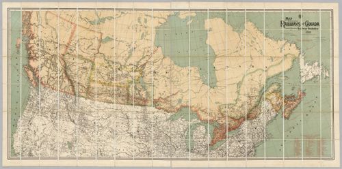
E73 - Map Shewing the Railways of Canada - Canada Government Railways - 1886
21
E73 - Railroad Map US - Samuel Augustus Mitchell - 1890
22
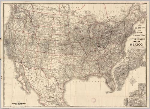
E73 - Railroad Map Of The United States - Rand McNally and Company - 1889
23
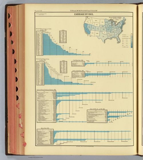
E73 - Carriage by Rail - Henry Gannett - 1883
24
E73 - Map Of The United States - Anthony Finley - 1833
25
E73 - Canal Erie - Guillaume Tell Poussin - 1834
26
E73 - Railroad Routes To The Pacific - American Photo Lithographic Company - 1869
27
E73 - Republics Of North America - AJ Johnson - 1859
28
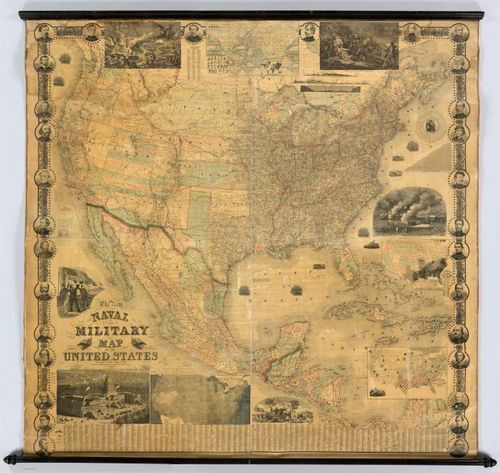
E73 - Naval And Military Map Of The United States - J Calvin Smith - 1862
29
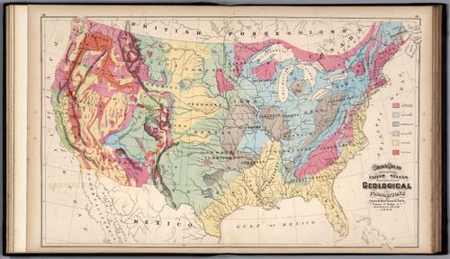
E73 - United States Showing the Principal Geological Formations - Charles H Hitchcock - 1873
30
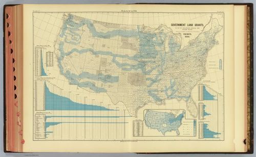
E73 - Government Land Grants Railways - Henry Gannett - 1883
31
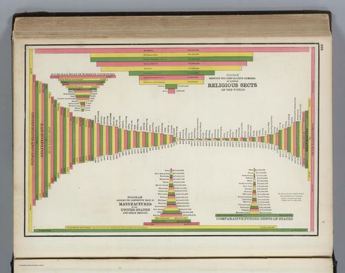
E73 - Statistical Diagrams of Communications and Religions - George Franklin Cram - 1889
32
E73 - Transcontinental Line - JFHowell - 1915
33
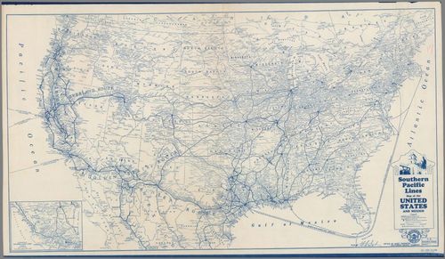
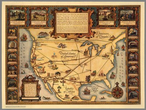
E73 - Southern Pacific Lines Map of the United States and Mexico - 1934
34
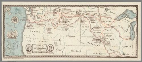
E73 - Map Showing Route of the Lewis and Clark Expedition - WH Gordenier - 1927
35
E73 - United States of America - SP Co - 1928
36
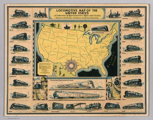
E73 - Locomotive Map of the United States - David Bowers - 1935
37
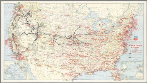
E73 - Geographically Correct Map of the United States - Union Pacific Railroad - 1942
38
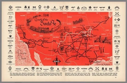
E73 - Growth of the Santa Fe Railway - 1950
Place a DOT on the image