

Railroads and Canals from the Library of Congress
Step 0 of 0
1
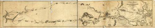
E72 - Plan of a Survey for the Proposed Boston and Providence Rail-Way - James Hayward - 1828
2

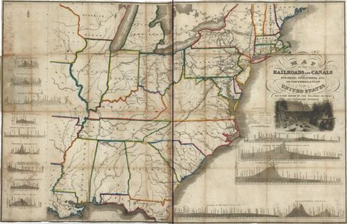
E72 - Map of the Railroads and Canals of the US - Henry Schenck Tanner - 1830
3
E72 - Map of the Railroads and Canals Finished Unfinished and in Contemplation in the US - William Norris - 1834
4
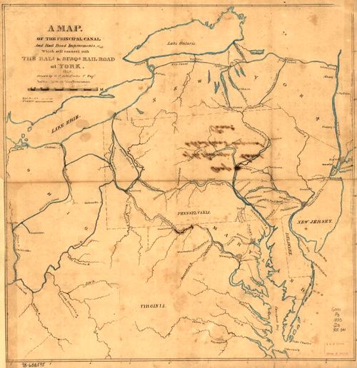
E72 - Map of the Principal Canal and Railroad Improvement - GF De La Roche - 1835
5
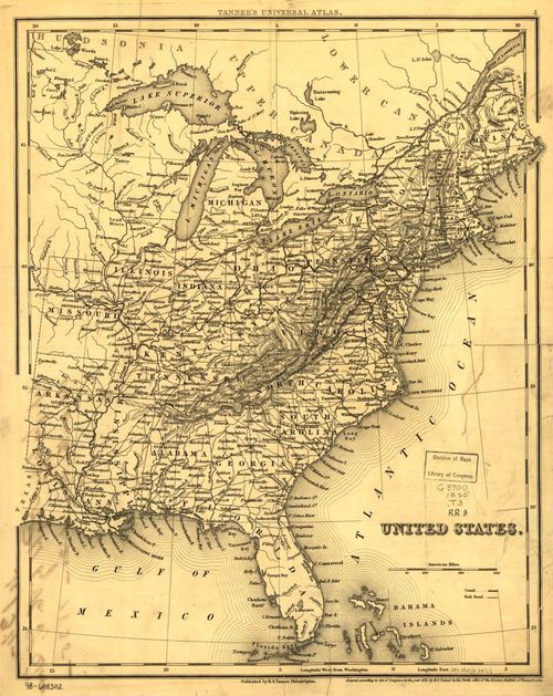
E72 - Map of the Railroads and Canals Eastern Half of the United States - Henry Schenck Tanner - 1835
6
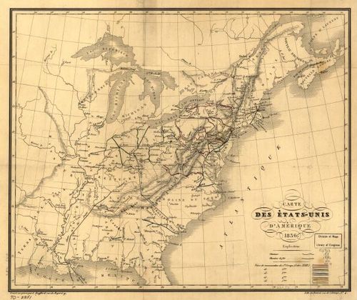
E72 - Carte des Etats-unis D Amerique - L Bouffard - 1836
7
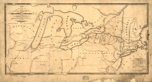
E72 - Railroad Map Showing the Most Direct Commercial Route Northeastern States - John Price - 1836
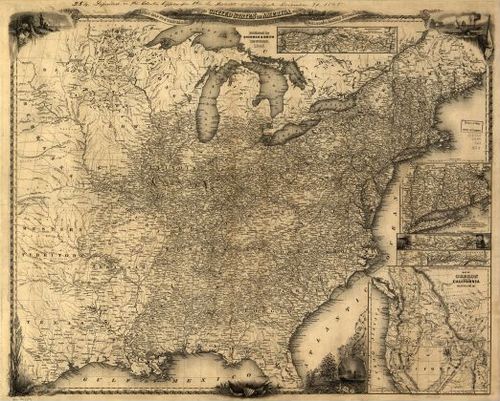
8
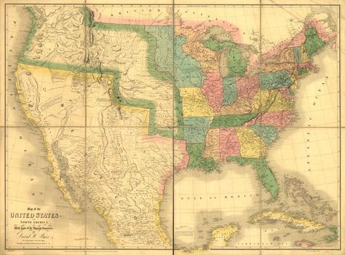
E72 - Map of the United States of North America with Parts of the Adjacent Countries - Burr and Arrowsmith - 1839
9
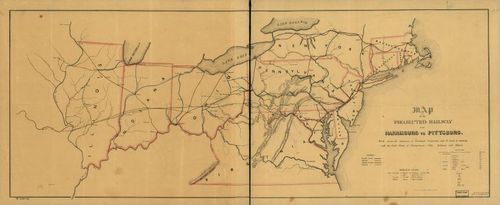
E72 - Map of the Projected Railway from Harrisburg to Pittsburg - JA Sheaff - 1840
10
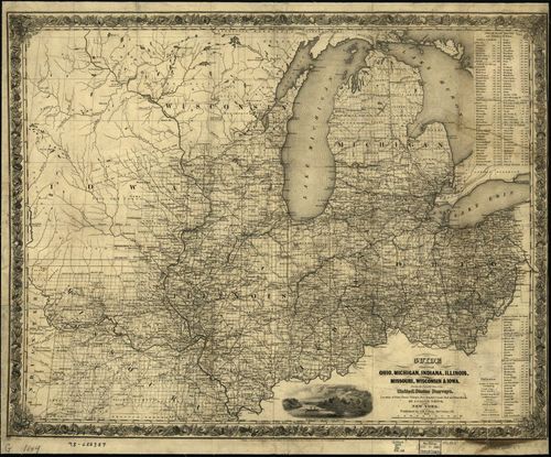
E72 - Guide Through Ohio Michigan Indiana Illinois Missouri Wisconsin and Iowa - J Calvin Smith - 1844
11
E72 - Map of Oregon Northern California - Sherman and Smith - 1846
12
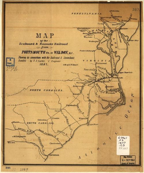
E72 - Map of the Seaboard and Roanoke Railroad from Portsmouth VA to Weldon NC - Ephraim W Bouve - 1847
13

E72 - Railroads in Michigan with Steamboat Routes on the Great Lakes - John Doggett - 1848
14
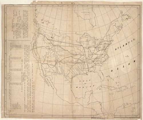
E72 - Map Showing the Railroad Route to Santa Fe and San Diego - Asa Whitney - 1849
15

E72 - Map Showing the Position of Chicago - Edward Mendel - 1850
16
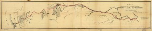
E72 - A Map Illustrative of the Route of the Proposed Railroad from St Louis to the Bay of San Francisco - William L Dearborn - 1850
17
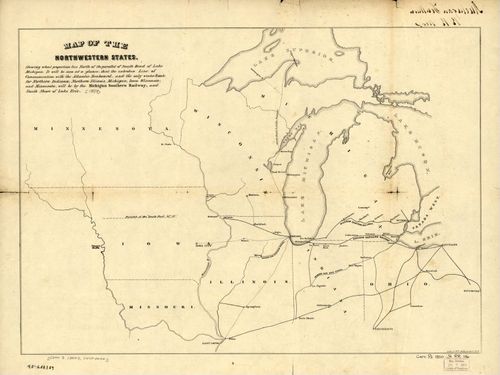
E72 - Map of the Northwestern States - John B Jervis - 1850
18
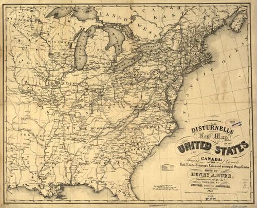
E72 - Disturnells New Map of the United States and Canada - Henry A Burr - 1851
19
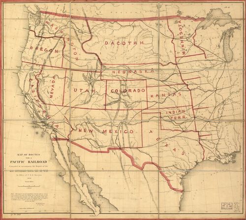
E72 - Map of Routes for a Pacific Railroad - Gouverneur K Warren - 1855
20
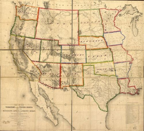
E72 - Map of the Territory of the United States from the Mississippi River to the Pacific Ocean - Gouverneur K Warren - 1863
21
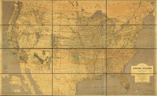
E72 - Map of the United States and Territories showing the extent of Public Surveys Indian and Military Reservations Land Grant - USGLO - 1873
22
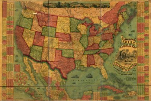
E72 - The American Union Railroad Map of the United States British Possessions West Indies Mexico and Central America - Darius L Guernsey - 1874
23
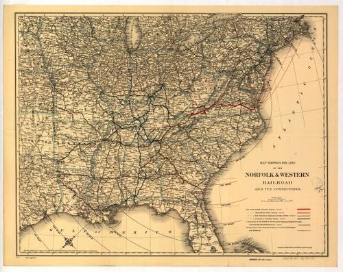
E72 - Map Showing the line of the Norfolk and Western Railroad and its Connections - GW and CB Colton - 1887
24

E72 - Map of Franklin County Arkansas showing the land grant of the Little Rock and Fort Smith Railway - US Gen Land Office - 1893
25
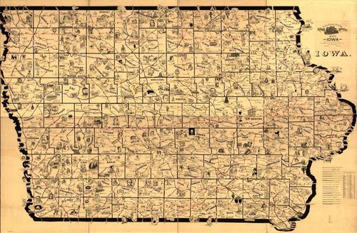
E72 - Galbraiths Railway Mail Service Maps Iowa - Frank H Galbraith - 1897
Place a DOT on the image