

GIFT1: Jane and Ronald Gibbs Collection at Stanford University
Step 0 of 0
1
2
3
4

5
6
7
8
9
10
11
12
13
14
15
16
17
18
19
20
21
22
23
24
25
26
27
28
29
30
31
32
33
34
35
36
37
38
39
40
41
42
43
44
45
46
47
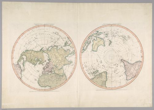
E560 - Northern Hemisphere & Southern Hemisphere 1799 - Jane and Ronald Gibbs Collection
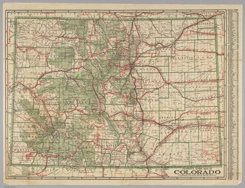
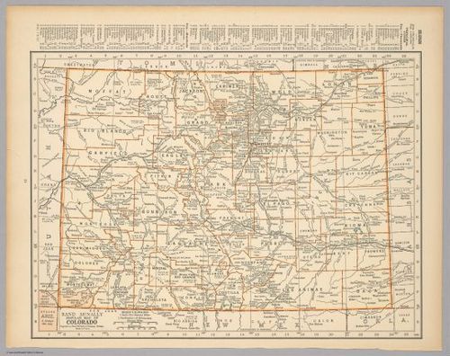
E560 - Clason's Guide Map of Colorado 1920 - Jane and Ronald Gibbs Collection
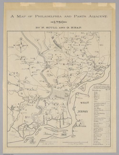
E560 - A Map of Philadelphia and Parts Adjacent 1750 - Jane and Ronald Gibbs Collection
E560 - La haute Alsace, avec le Suntagow et le Brisgow - Jane and Ronald Gibbs Collection
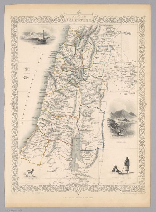
E560 - Modern Palestine - Jane and Ronald Gibbs Collection
E560 - Rand McNally Popular Map of Colorado - Jane and Ronald Gibbs Collection
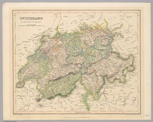
E560 - Switzerland and the Passes of the Alps - Jane and Ronald Gibbs Collection
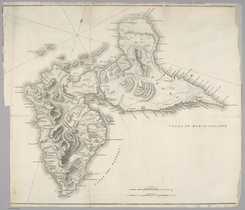
E560 - Guadelope, The Army Commanded by Majaor General Barrington, the [plan[ by commodore moore 1773 - Jane and Ronald Gibbs Collection
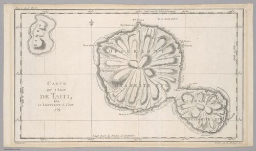
E560 - Carte de l'isle de Taiti, par le Lieutenant J. Cook 1769 - Jane and Ronald Gibbs Collection
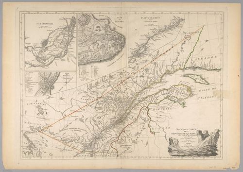
E560 - Nouvelle Carte de la Province de Quebec selon l'Edit du Roi d'Angleterre du 7. 8bre 1763 1777 - Jane and Ronald Gibbs Collection
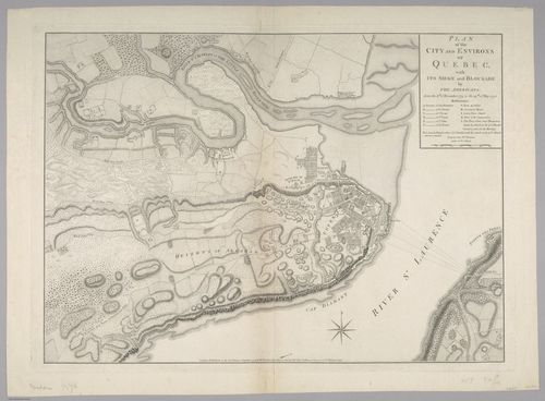
E560 - Plan of the City and Environs of Quebec with Its Siege and Blockade by the Americans 1776 - Jane and Ronald Gibbs Collection
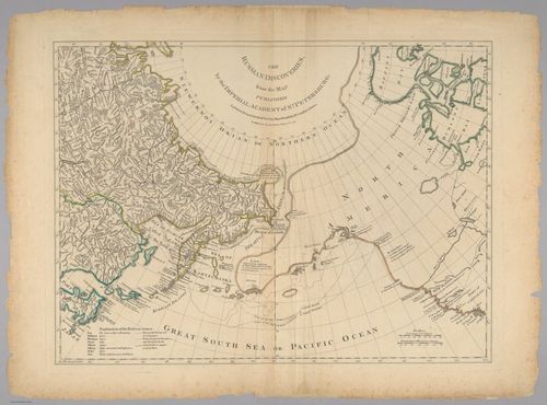
E560 - The Russian discoveries, from the map published by the imperial academy of St. Petersburg 1775 - Jane and Ronald Gibbs Collection
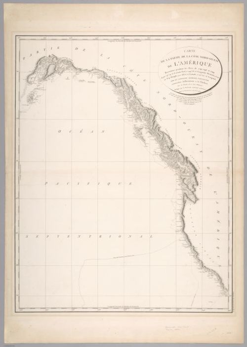
E560 - Carte de la Côte Nord-Ouest de l'Amérique Reconnue pendant les Etés de 1792, 17953, et 1794 - Jane and Ronald Gibbs Collection
E560 - Carte de l'isle de la Jamaique, par le S. Bettin Ingén de la Marine 1758 - Jane and Ronald Gibbs Collection
E560 - Fac-simile of a Portion of Holme's Map of the Province of Pennsylvania, with Names of Original Purchasers from William Penn - Jane and Ronald Gibbs Collection
E560 - A Map of the Inhabited Part of Canada from the French Surveys with the Frontiers of New York and New England from the Large Survey by Claude Joseph Sauthier 1777 - Jane and Ronald Gibbs Collection
E560 - A Plan of the City and Environs of Philadelphia, with the Works and Encampments of His Majesty's Forces, Under the command of Lieutenant-General Sir William Howe, K.B. - Jane and Ronald Gibbs Collection
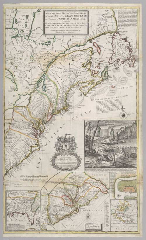
E560 - A New and Exact Map of the Dominions of the King of Great Britain on the Continent of North America. Containing Newfoundland, New Scotland, New England, New York, New Jersey, Pennsylvania, Maryland, Virginia and Carolina - Jane and Ronald Gibbs Collection
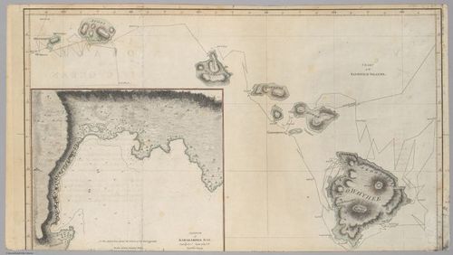
E560 - Sketch of Karakakooa Bay & Chart of the Sandwich Islands - Jane and Ronald Gibbs Collection
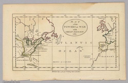
E560 - Map of the Powers at War with Great Britain. 1783 1785 - Jane and Ronald Gibbs Collection
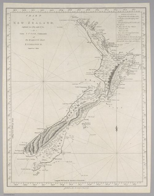
E560 - Chart of New Zealand explored in 1769 and 1770 1772 - Jane and Ronald Gibbs Collection
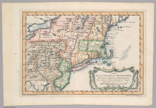
E560 - Carte de la Nouvelle Angleterre, Nouvelle Yorck, et Pensilvanie 1757 - Jane and Ronald Gibbs Collection
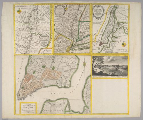
E560 - A Plan of the City and Environs of New York in North America - Jane and Ronald Gibbs Collection
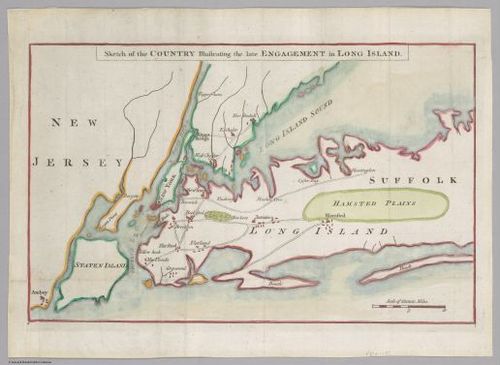
E560 - Sketch of the Country Illustrating the late Engagement in Long Island - Jane and Ronald Gibbs Collection
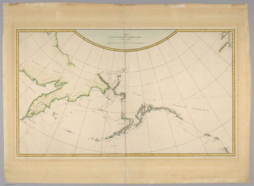
E560 - Chart of NW Coast of America and NE Coast of Asia explored in the Years 1778 & 1779 - Jane and Ronald Gibbs Collection
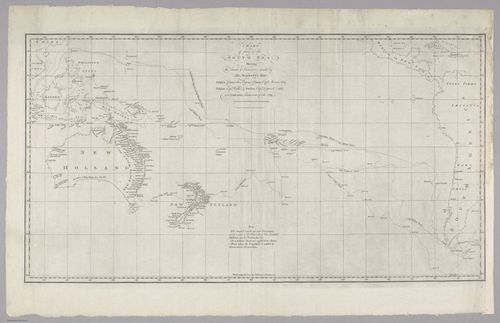
E560 - Chart of Part of the South Sea, Shewing the Tracts & Discoveries made by His Majesty's Ships - Jane and Ronald Gibbs Collection
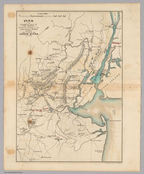
E560 - Plan of the Northern part of New Jersey Shewing the Positions of the American & British Armies after crossing the North River in 1776 - Jane and Ronald Gibbs Collection
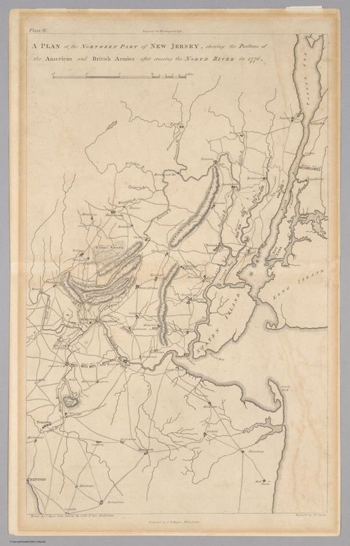
E560 - A Plan of the Northern Part of New Jersey, shewing the Positions of the American and British Armies after crossing the North River in 1776 - Jane and Ronald Gibbs Collection
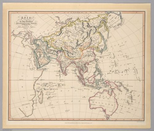
E560 - Asia for the elucidation of the Abbe Gaultiers geographical games 1823 - Jane and Ronald Gibbs Collection
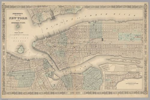
E560 - Johnson's Map of New York and the Adjacent Cities - Jane and Ronald Gibbs Collection
E560 - Johnson's Map of New York and the Adjacent Cities - Jane and Ronald Gibbs Collection
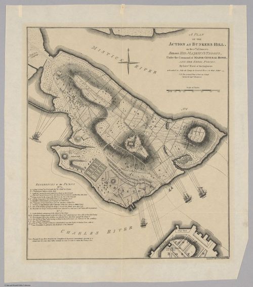
E560 - A Plan of the Action at Bunkers Hill on the 17th of June 1775 - Jane and Ronald Gibbs Collection
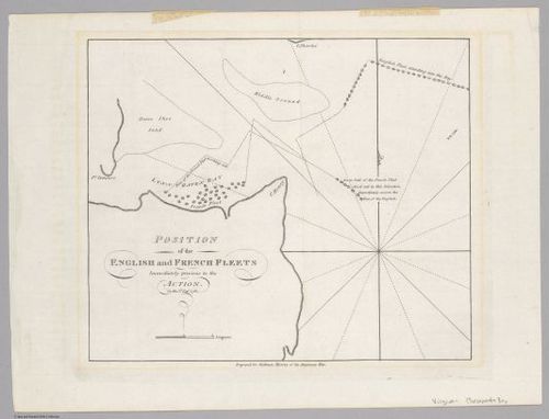
E560 - Position of the English and French Fleets Immediately previous to the Action on the 5th Sepr. 1781 - Jane and Ronald Gibbs Collection
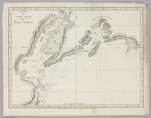
E560 - Chart of Cooks River in the N.W. Part of America - Jane and Ronald Gibbs Collection
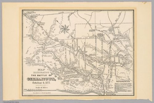
E560 - Map Illustrating the Battle of Germantown, October 4. 1777 (1877) - Jane and Ronald Gibbs Collection
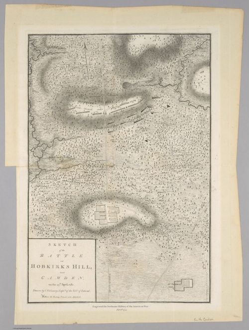
E560 - Sketch of the Battle of Hobkirks Hill, near Camden. on the 25th April, 1781 (1794) - Jane and Ronald Gibbs Collection
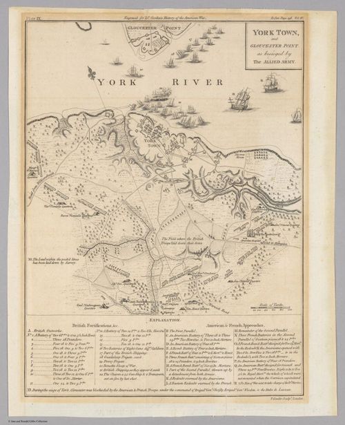
E560 - York Town, and Gloucester Point. as besieged by The Allied Army - Jane and Ronald Gibbs Collection
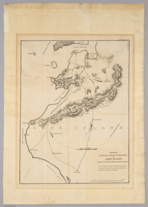
E560 - Sketch of General Grants Position on Long Island - Jane and Ronald Gibbs Collection
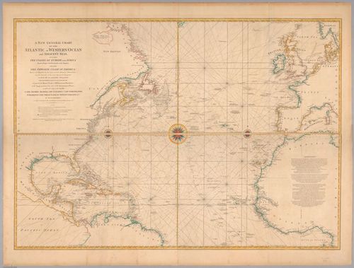
E560 - A new general chart of the Atlantic or Western Ocean and adjacent seas 1777 - Jane and Ronald Gibbs Collection
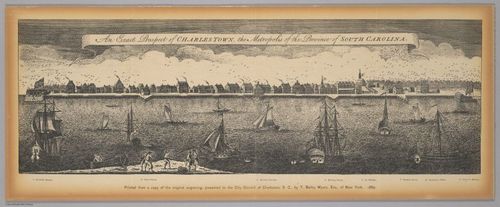
E560 - An exact prospect of Charlestown, the metropolis of the province of South Carolina : printed from a copy of the original engraving, presented to the City Council of Charleston, S.C., by T. Bailey Myers, Esq., of New York, 1882 (1762)
- Jane and Ronald Gibbs Collection
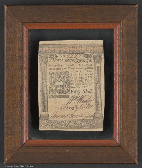
E560 - Fifty shillings 1773 - Jane and Ronald Gibbs Collection
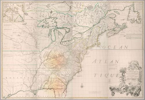
E560 - Amérique septentrionale avec les routes, distances en miles, villages, et establissements françois et anglois (1776) - Jane and Ronald Gibbs Collection
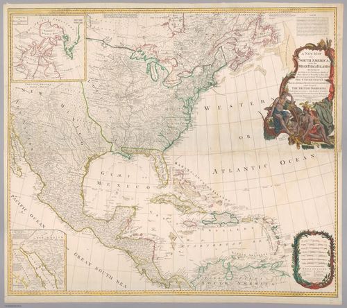
E560 - A New map of North America with the West India Islands : divided according to the preliminary articles of peace, signed at Versailles, 20. Jan. 1783, wherein are particularly distinguished the United States and the several provinces, governments & ca which compose the British Dominions : laid down according to the latest surveys, and corrected from the original materials, of Goverr. Pownall, Membr. of Parliamt (1794) - Jane and Ronald Gibbs Collection
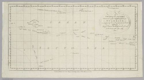
E560 - A chart of the islands discovered in the neighborhood of Otaheite in the course of several voyages round the world made by the Capns. Byron, Wallis, Carteret & Cook in the years 1765, 1767, 1769 (1784) - Jane and Ronald Gibbs Collection
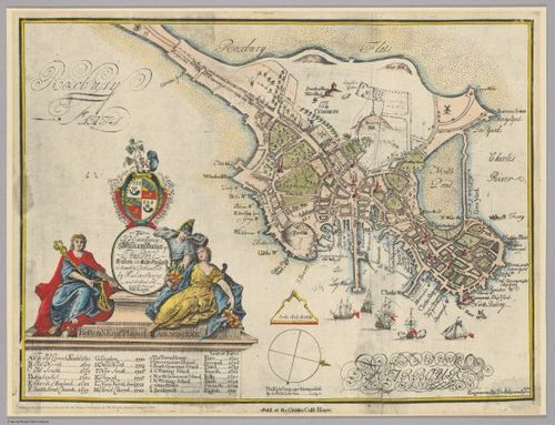
E560 - To His Excellency William Burnet Esq., this plan of Boston in New England is humbly dedicated by His Excellencys most obedient and humble servant Will Burgis (1728) - Jane and Ronald Gibbs Collection
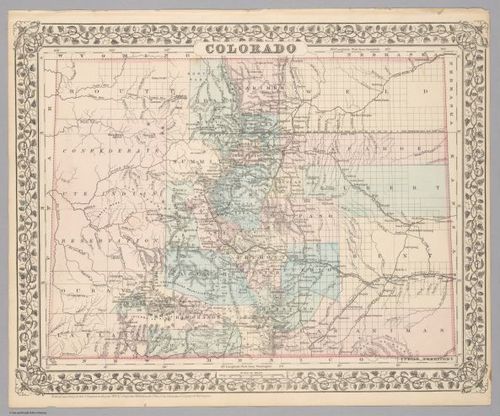
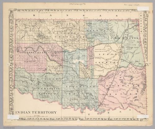
E560 - Colorado ; Indian Territory (1882) - Jane and Ronald Gibbs Collection
E560 - Colorado ; Indian Territory (1882) - Jane and Ronald Gibbs Collection
Place a DOT on the image