250th Anniversary of the American Revolution - by Ron Gibbs
Step 0 of 0
1

2

3

4

5

6

7

8

9

10

11

12
13
14

15

16
17

18
19

20

21
22
23
24

25

26

27
28
29
30

31
32
33

34

35
36

37

38
39

40
41

42

43
44
45

46

47
48
49

50
51

52

53
54
55
56

57
58
59

60

61

62

63

64
65
66
67

68

69

70

71

72

73
74
75
76
77

78

79

80

81

82

83

84

85

86

87

88

A New map of North America with the West India Islands - Jane and Ronald Gibbs Collection
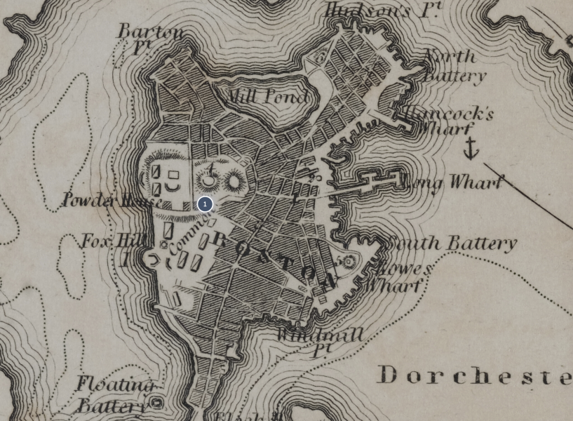
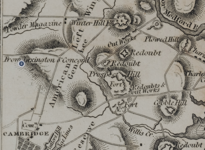
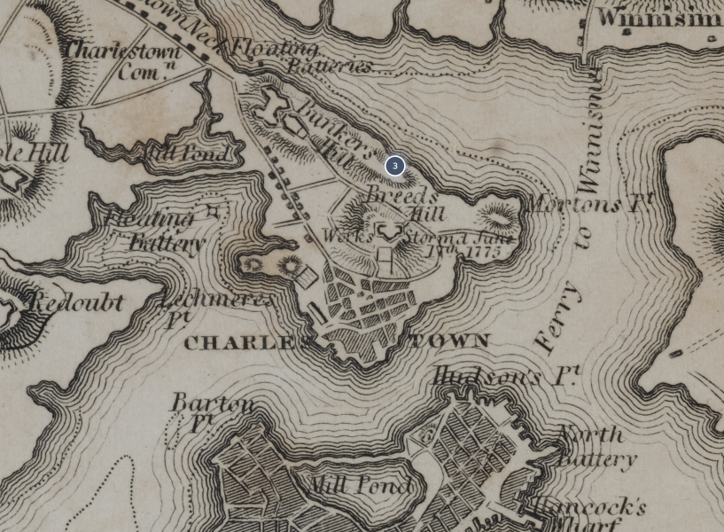
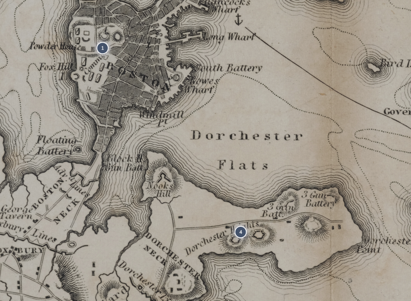
Boston with its Environs - from Atlas to Marshall’s Life of Washington
The Death of General Warren
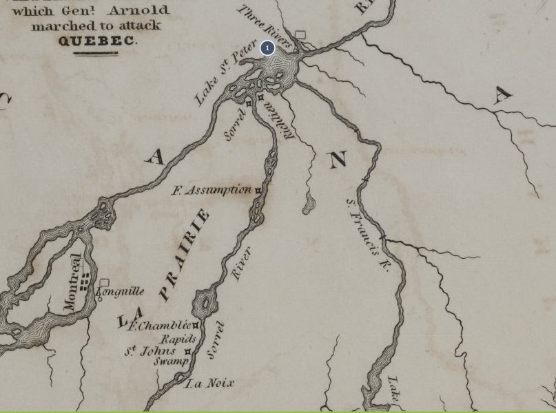
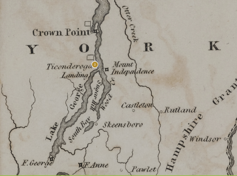
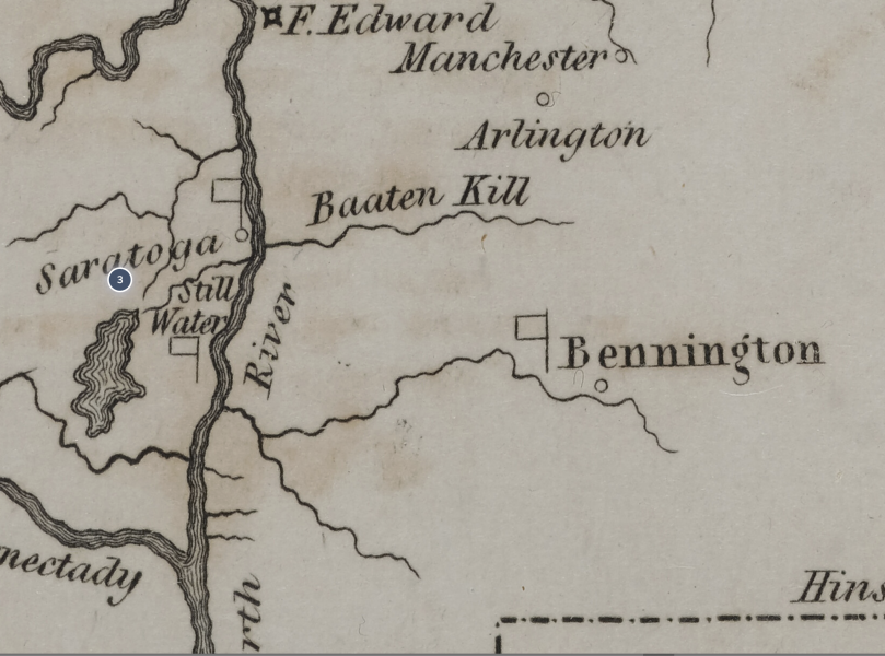
Northern Army - Atlas to Marshall’s Life of Washington
Northern Army - Atlas to Marshall’s Life of Washington 1 Dot 1
Northern Army - Atlas to Marshall’s Life of Washington 1 Dot 2
Northern Army - Atlas to Marshall’s Life of Washington 1 Dot 3
Benedict Arnold
This is an engraving of Benedict Arnold by H. B. Hall, after the portrait by John Trumbull.
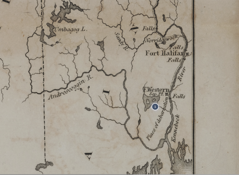
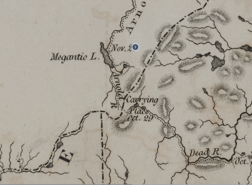
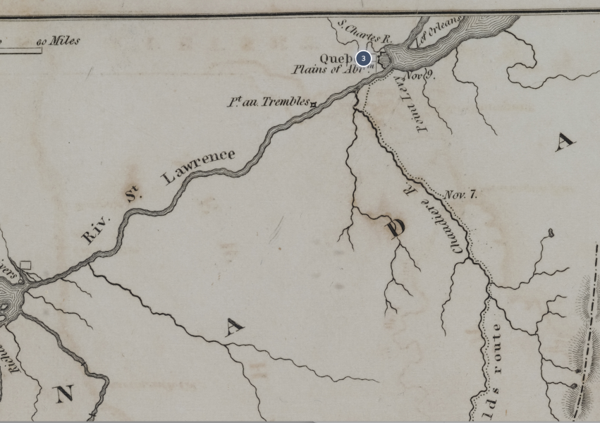
The name Benedict Arnold has become synonymous with being a heinous traitor, but what is less known is that Arnold was respected as one of the American army's best field commanders early in the war. He was born in 1741 in Connecticut and had an early career in overseas trading. In 1775-77, he was recognized for his bold leadership in the capture of Fort Ticonderoga (May 1775), the attack on Quebec City (December 1775), the Battle of Valcour Island in Lake Champlain (October 1776), and the defense of Fort Stanwix (August 1777). At the Battle of Bemis Heights, Arnold led his men in the successful attack on the Breymann Redoubt, but in the midst of the fighting he was wounded in the leg.
1776 New York Campaign Map
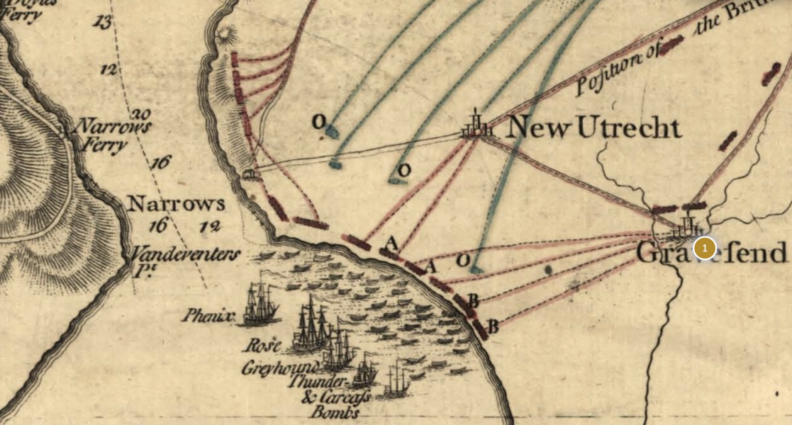
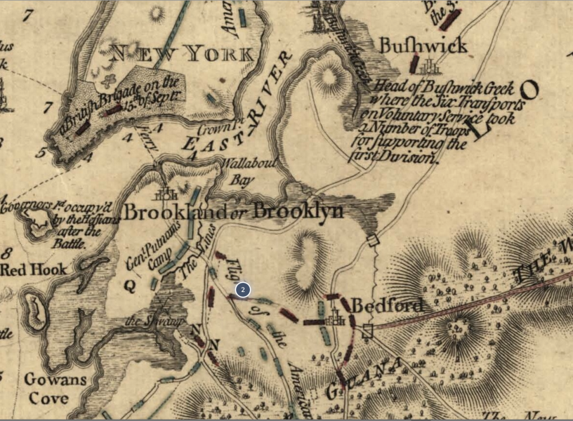
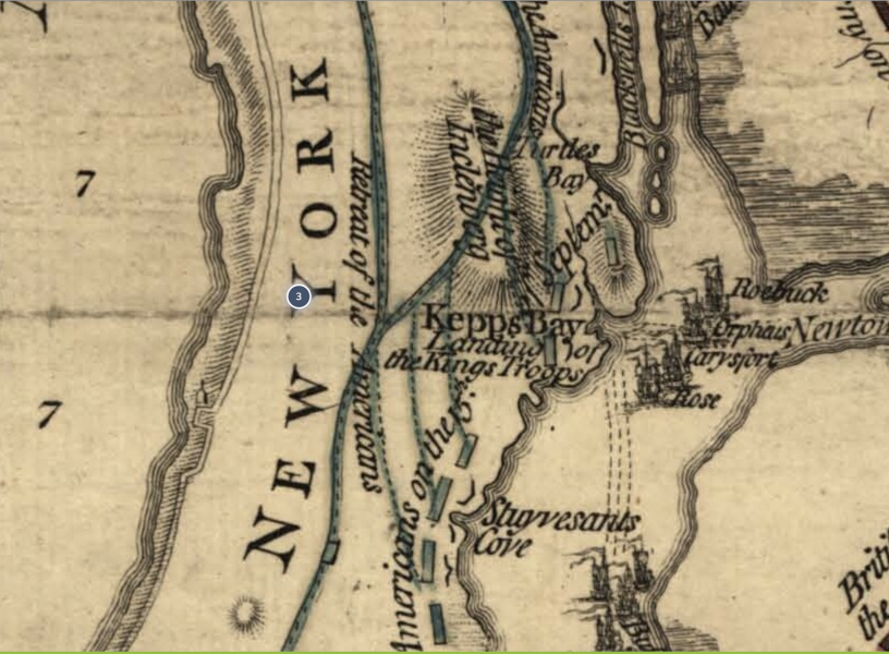
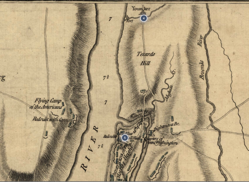
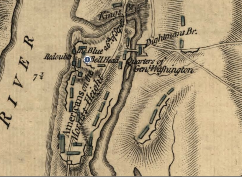
This handsome map, by William Faden, Geographer to the King, shows rich topographical and tactical detail , covering the actions of August -September 1776. Note, for example, the British ships landing the troops on Long Island at Gravesend Bay (lower center) and also the landings at Kepp’s (Kip’s) Bay, located at mid-Manhattan (present day 34th Street) at the East River. / Library of Congress, Geography and Map Division.
1776 New York Campaign Map Dot 1
1776 New York Campaign Map Dot 2
1776 New York Campaign Map Dot 3
A View from Kip's Bay Looking East
1776 New York Campaign Map Dot 4
1776 New York Campaign Map Dot 5
1777 Trenton Map
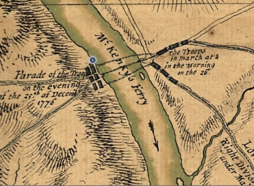
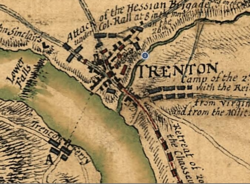
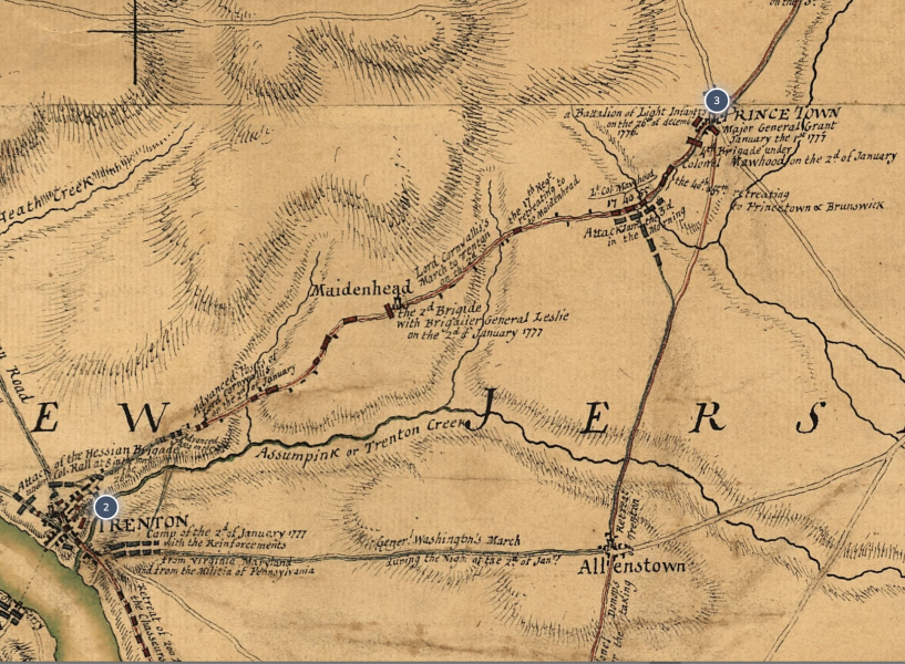
This detailed battle map, published by Willam Faden in 1777, shows the heroic actions of the American forces from December 26, 1776 to January 3, 1777. After crossing the Delaware River into Pennsylvania, the Americans encamped near Newtown (center, left of map). With the integrity of his army at stake, Washington decided on the one course that would save the revolution; he would attack! He chose an isolated Hessian outpost in Trenton, at the very end of the British-Hessian line. On Christmas night 1776, the American Army crossed the Delaware River back into New Jersey at McKonkey’s Ferry (just northeast of Newtown on map). Then the army marched in two divisions, the left down the Pennington Road and the right down the River Road, to attack the Hessians. Catching the enemy by surprise, the result was an hour long battle leading to a small, but complete victory. The Hessian commander was killed, and over 1000 Hessians were taken prisoner. Washington then returned his army to its Pennsylvania encampment, but followed up with another victory a week later in Princeton, New Jersey (northeast of Trenton). The twin victories breathed new life into the cause of independence and led to recognition of Washington as a battlefield commander. The British knew they would now be in for a long struggle if they were to put down the American rebellion. / Image courtesy of Library of Congress, Geography and Map Division.
1851 Emmanuel Leutze - Washington Crossing the Delaware
One of the most beloved and well-known artworks in American history, Emmanuel Leutze’s depiction of the heroic crossing was not painted until 75 years later. It contains many historical errors. Notably, the boats do not represent the actual Durham boats used in the crossing, and the flag was not developed until months later. Yet, the painting conjures up the decisiveness of Washington and the patriotism and courage of his men. Painting by Emmanuel Leutze in 1851. / Image courtesy of Smithsonian.
Re-enactment Showing the Durham Boat
AND if you wanted to know what the boats were really like, well, HERE ARE REPLICAS—THE DURHAM BOATS USED FOR TRAFFIC ON THE DELAWARE IN 18TH CENTURY. MUCH BIGGER THAN ROWBOATS,. Other craft were flat bottomed ferries that were probably used for CANNON & HORSES.
Charleston - Atlas to Marshall’s Life of Washington
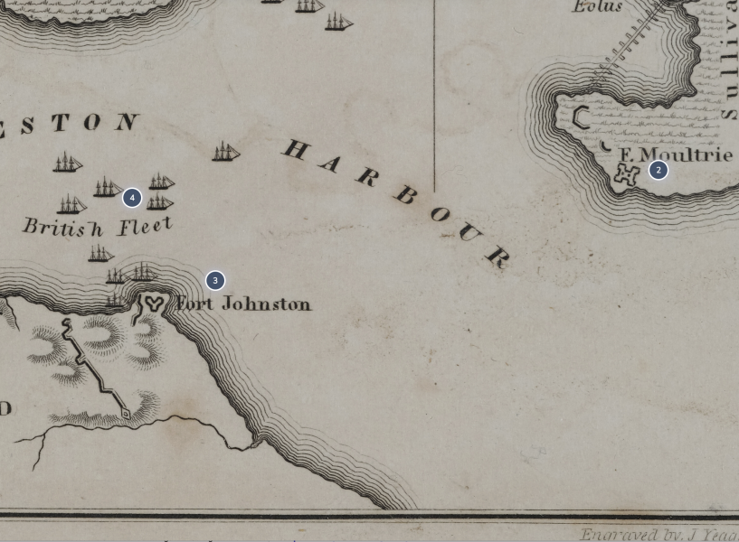
Charleston - Atlas to Marshall’s Life of Washington Dot 1
Charleston - Atlas to Marshall’s Life of Washington Dots 2, 3, 4a
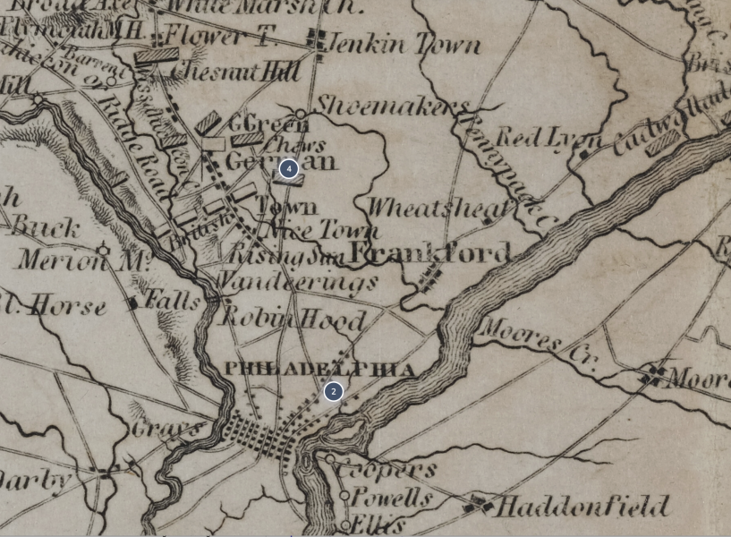
Philadelphia
Raritan River - Atlas to Marshall’s Life of Washington
Raritan River - Atlas to Marshall’s Life of Washington Dot 1
Raritan River - Atlas to Marshall’s Life of Washington Dot 2
Raritan River - Atlas to Marshall’s Life of Washington Dot 3
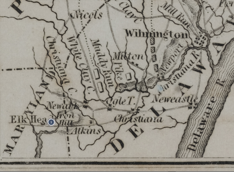
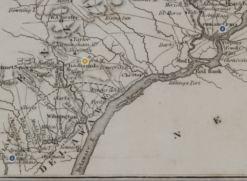
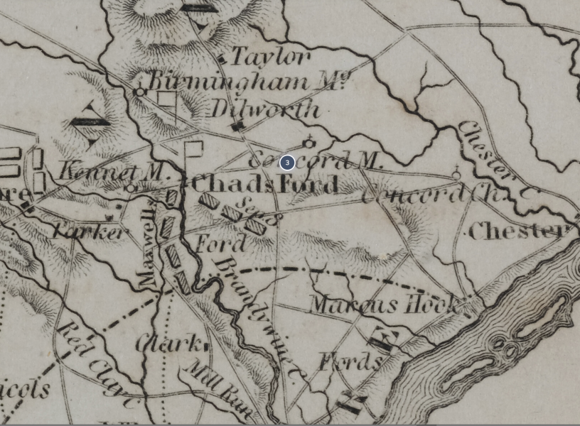
Brandywine Creek at Chad's Ford
A view of the Brandywine River from the American (East) side, looking toward the Hessian-British (West) side at Chad's Ford. The river was not very broad, and its banks were not steep. It was fordable in several places. The Brandywine turned out to be a poor choice for Washington to use when defending the approach to Philadelphia. (photo by R. Gibbs)
Raritan River - Atlas to Marshall’s Life of Washington Dot 4a
Raritan River - Atlas to Marshall’s Life of Washington Dot 5
Independence Hall
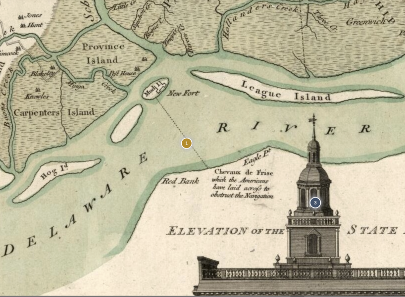
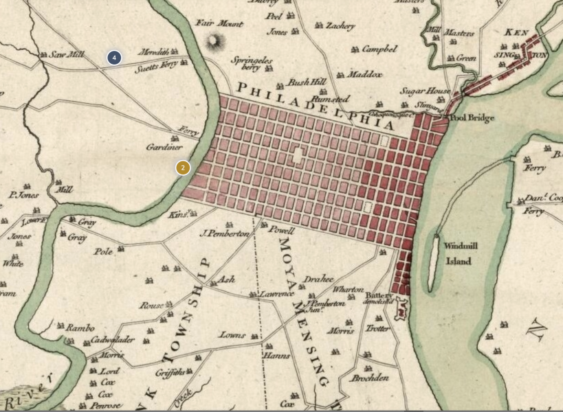
Completed in 1753, the Pennsylvania State House in Philadelphia was the most ambitious public building in the thirteen colonies. Fittingly, it became the venue for the Second Continental Congress, which began meeting in May 1776. Here , on July 4, 1776 , the Declaration of Independence was proclaimed . The edifice became known as Independence Hall and is considered the birthplace of the United States. British General Howe aimed to capture the city and the seat of the rebel government. Wikipedia
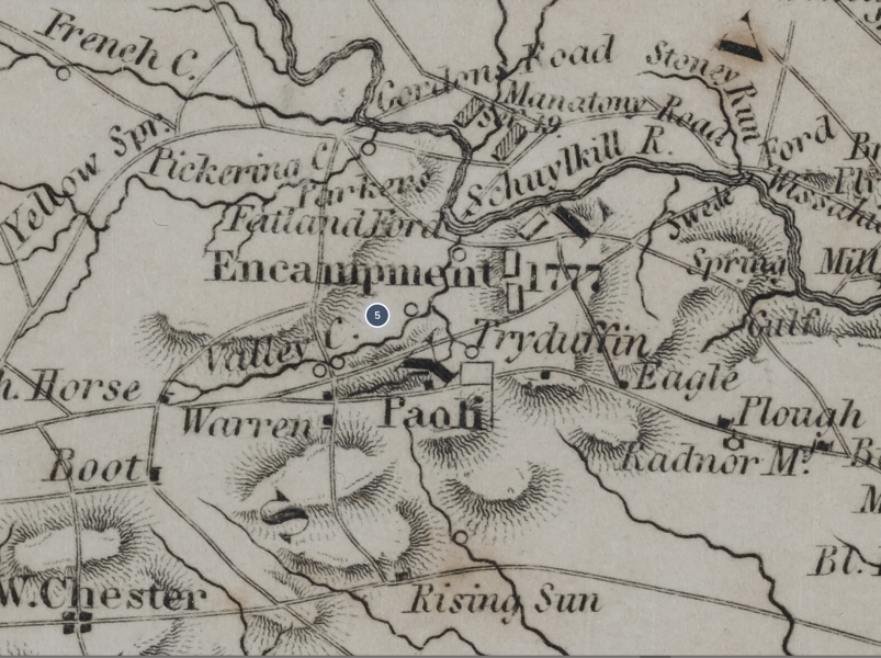
The March to Valley Forge - Trego
"The March to Valley Forge," by William Trego (1883).
With the Crown Forces completely in control of Philadelphia and its immediate environs , Washington sought a winter encampment from which he could keep an eye on the British. This well known painting depicts the march into Valley Forge, which the Americans reached on December 19th. Washington and his senior officers set up headquarters in existing homes while the men built crude log huts as they faced the heroic winter of 1777-1778 at Valley Forge.
Museum of the American Revolution
Northern Army - Atlas to Marshall’s Life of Washington
Northern Army - Atlas to Marshall’s Life of Washington Dot 1
Northern Army - Atlas to Marshall’s Life of Washington Dot 2
Northern Army - Atlas to Marshall’s Life of Washington Dot 3
Ye Breaking News 17 October 1777
Surrender at Saratoga of General Burgoyne
The Surrender of General Burgoyne, by John Trumbell (c. 1786)
Burgoyne was trapped in the wilderness, with no hope of relief from New York, supplies dwindling, and winter ahead. He sued for a treaty and surrendered on October 17th, 1777.
Trumbell's painting depicts Burgoyne and Gates as the central figures. Others shown are American officers: Col. John Stark (of Bennington fame), Col. Daniel Morgan, and Major General Philip Schuyler and Hessian officer: General Baron von Riedesel. Arnold is not shown, presumably because he was recovering in a hospital in Albany on that day.
The Campaign of 1777 was the decisive year for the American Revolution because the victory at Saratoga ended the threat from Canada, raised morale of the army and the pro-independence citizenry, and secured the critical alliance with France. For General Washington, the campaign was once again marked by defeats (at Brandywine and Germantown ), the capture of Philadelphia by the British, and retreat to Valley Forge. Some in Congress and the army began to doubt Washington's ability as Commander in Chief, but he overcame these adversities and led the army to eventual victory at Yorktown , Virginia four long years later.
Charleston - Atlas to Marshall’s Life of Washington
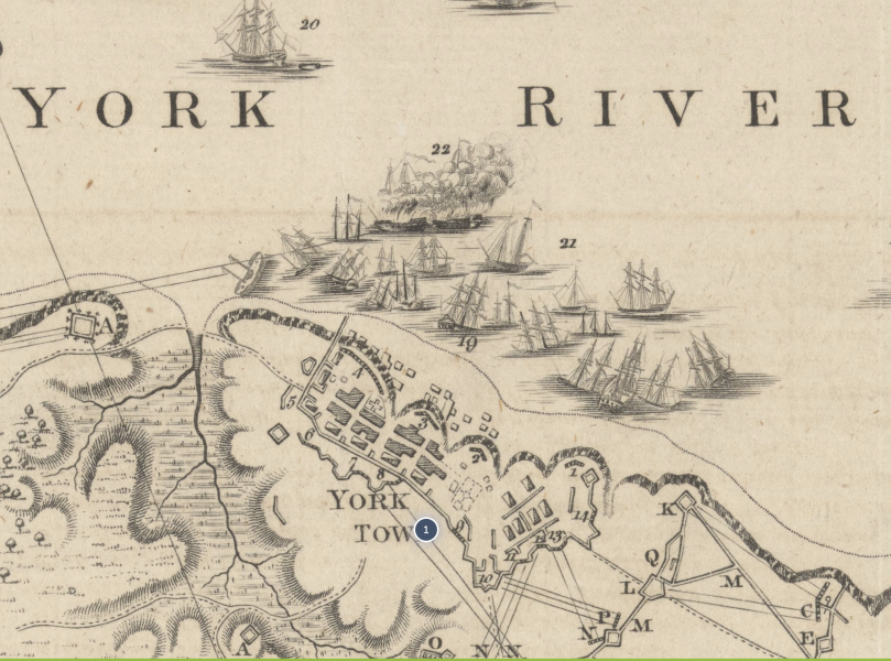
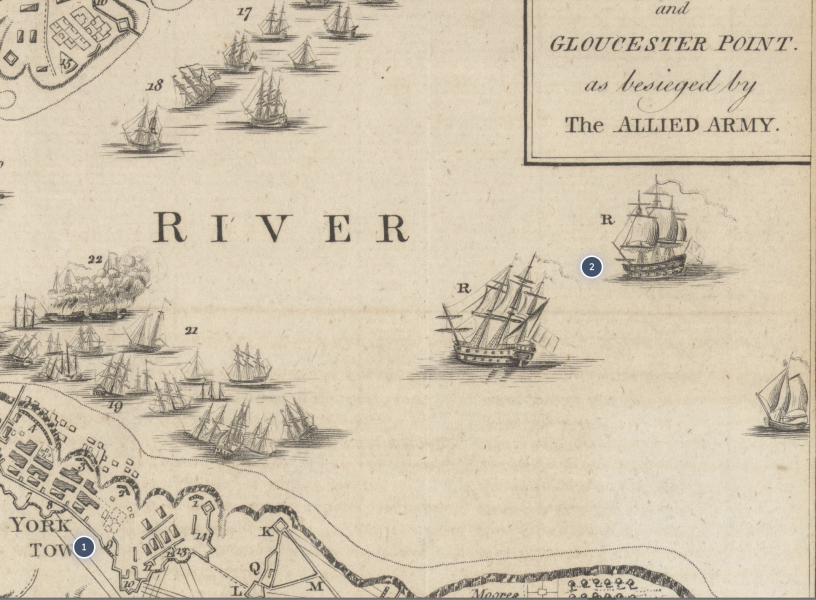
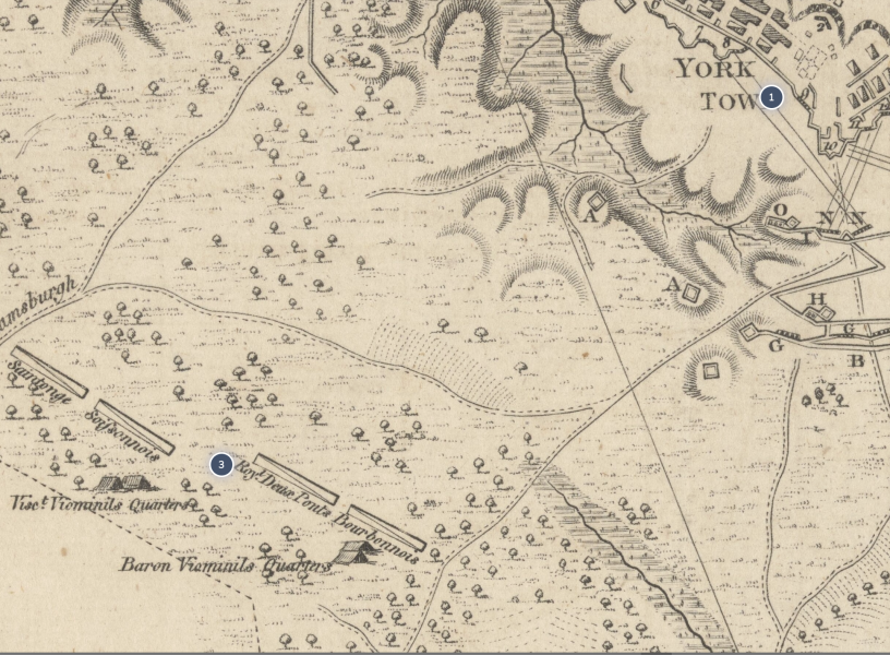
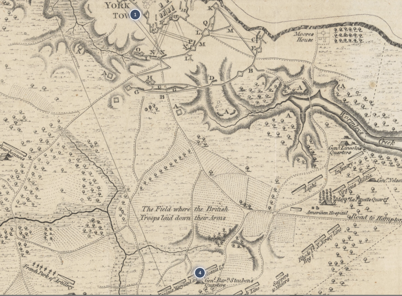
Yorktown and Gloucester Point
Yorktown and Gloucester Point Dot 1
Yorktown and Gloucester Point Dot 2
Yorktown and Gloucester Point Dot 3
Yorktown and Gloucester Point Dot 4
Surrender at Yorktown
The Surrender at Yorktown , Virginia , by John Trumbull (1826)
The American Revolutionary War would not be officially over until The Treaty of Paris in 1783, but the main fighting ended with the joint French-American victory at Yorktown, Virginia fully four years later in October, 1781. Washington is depicted in the painting center right on horseback. How, after all, did Washington win? He won because he and his men had a cause. He was fighting the right war—keeping his less-experienced army intact, winning just enough times, and gaining the critical aid of the French. The British Crown and British people had no stomach for more blood and more treasure. Reflecting over the last nearly 250 years, we remember the decisive year of 1777 when victory at Saratoga bolstered hope in independence and led to the French Alliance and when Congress and the army stood by George Washington. Although Washington lost major battles in 1777, he kept the army intact and eventually wore down the British military forces. There was no one else in the Continental Army who could have done what Washington did. Painting by John Trumbull. Image courtesy of Architect of the Capitol and Wikipedia.
Amérique septentrionale avec les routes, distances en miles, limites et etablissements françois et anglois,
Portrait of George Washington
Now meet General George Washington. From June 1775 until the end of the war, the American Commander in Chief was George Washington, whose prior military command experience was no larger than a regiment (about 700 men). But he looked and acted like a commander in chief. He had an iron will and steely self-confidence , characteristics that would serve him well during the war's eight long years. As a Virginian, Washington also brought regional balance since the early fighting took place in New England.
Washington made errors alright, but he learned from them, kept the American Army intact as a fighting force, and led to ultimate victory. There was no one to match Washington's Olympian status.
Mitchell Map - i7521
Place a DOT on the image


No dots yet