

Evan Applegate Images
0 of 0
Click here to enter exhibit
Evan Applegate Images
Tags: Evan Applegate
Categories:
What Topic
Various - What Topic
Postal Service
What Type
Maps
Maps - Postal Service
Where
Various - Where
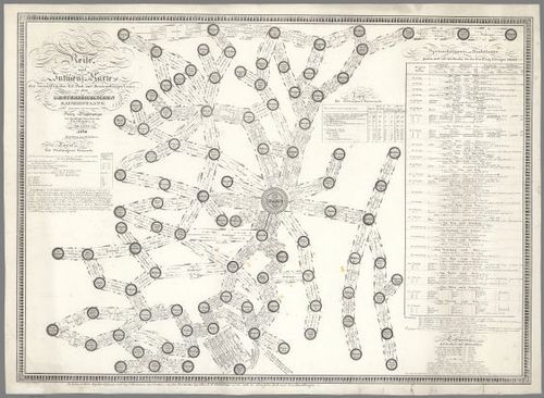
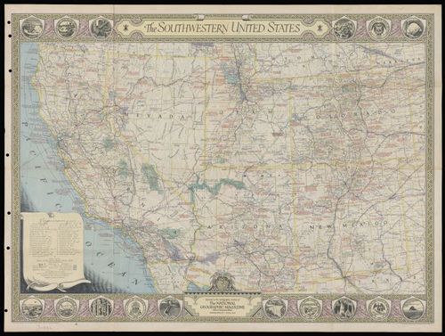
American Southwest
Ljublana
Vienna
When
C19
C20
Who Creator
Various - Who Creator
Who Collector
David Rumsey
Evan Applegate
Curators:
tomcurator(@tomcurator),
Evan Applegate(@evan_applegate).
Start screensaver
Please Choose seconds per image
Start Exhibit Story at specific step
Start Run of Show at specific story
Loop Exhibit Story
Choose duration for A step
Choose duration for B step
Choose zoom-in animation time
Choose zoom-out animation time
Finalise exhibit story
| Step & Preview | Auto-play | Pan | Line | No zoom-out | Actions |
|---|
Place a DOT on the image