

Scilly Naval Disaster 1707
Step 0 of 0
1
![[ 2023-12-16 06:37:59 ]](https://iiif.pixeum.org/iiif/3/1702708687/full/500,/0/default.jpg)
[ 2023-12-16 06:37:59 ]
2
![[ 2023-12-16 06:22:41 ]](https://iiif.pixeum.org/iiif/3/1702707772/full/500,/0/default.jpg)
[ 2023-12-16 06:22:41 ]
3
![[ 2023-12-16 06:20:50 ]](https://iiif.pixeum.org/iiif/3/1702707698/full/500,/0/default.jpg)
[ 2023-12-16 06:20:50 ]
4
![[ 2026-01-02 22:04:33 ]](https://iiif.pixeum.org/iiif/3/1767391553/full/500,/0/default.jpg)
[ 2026-01-02 22:04:33 ]
5
![[ 2023-12-16 06:21:48 ]](https://iiif.pixeum.org/iiif/3/1702707740/full/500,/0/default.jpg)
[ 2023-12-16 06:21:48 ]
6
![[ 2023-12-16 06:22:31 ]](https://iiif.pixeum.org/iiif/3/1702707761/full/500,/0/default.jpg)
[ 2023-12-16 06:22:31 ]
7
![[ 2023-12-16 06:20:23 ]](https://iiif.pixeum.org/iiif/3/1702707649/full/500,/0/default.jpg)
[ 2023-12-16 06:20:23 ]
8
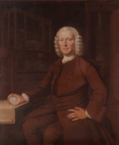
John Harrison
9
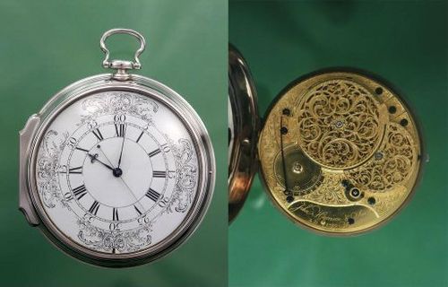
H4
10
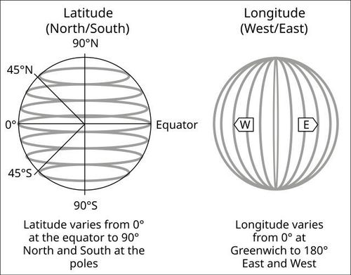
Latitude and Longitude
Place a DOT on the image