

Ortelius in the Holy Land
Step 0 of 0
1
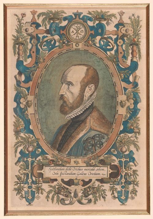
E42 - 1579 - ABRAHAM ORTELIUS (April 14, 1527- June 28, 1598)
2
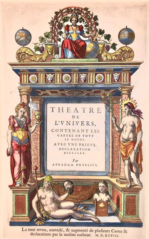
E42 - THEATRUM ORBIS TERRARUM
3
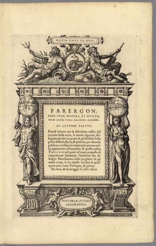
E42 - 1608 - PARERGON
4
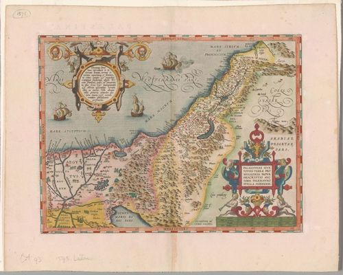
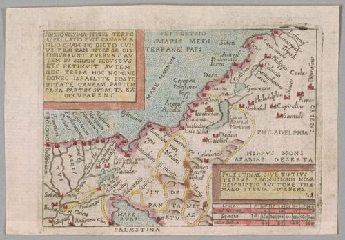
E42 - 1601 - PALESTINAE SIVE TOTIUS TERRAE PROMISSIONIS NOVE DESCRPTIO AUCTORE TILEMANNO STELLA SIGENSIS
5
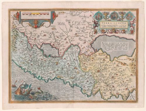
E42 - 1587 - TERRA SANCTA A Petro Laicsteen et Christain Schrott
6
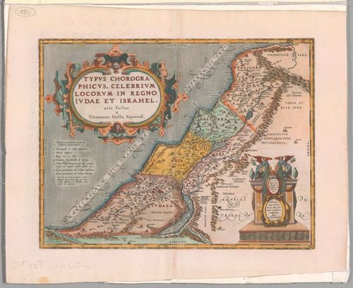
E42 - 1586 - TYPUS CHOROGRAPHICU, CELEBRIUM LOCORUM IN REGNO IUDAE ET ISRAHEL, arte factus Tielemanno Stella Sigenensi
7
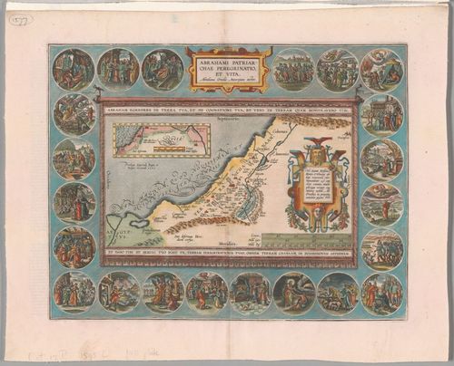
E42 - 1595 - ABRAHAMI PETRIARCHAE PEREGRINATIO ET VITA
8
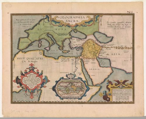
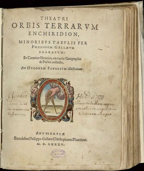
E42 - 1612 - GEOGRAPHIA SACRA
9
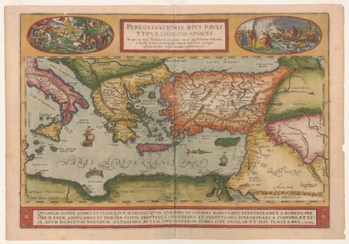
E42 - 1579 - PEREGRATIONIS DIVI PAULI TYPUS CHORIOGRAPHICUS
10
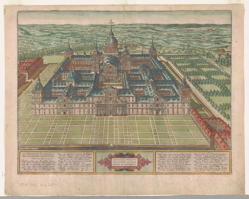
E42 - 1592 - SCENOGRAPHIA TOTIUS FABRICAE S. LAVRENTI IN ESCORIAL
11
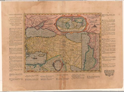
E42 - 1624 - LUMEN HISTORIARUM per ORIENTUM illestrandus Biblijs sacris, Martyro-logio, et alijs multis Concinn. Fran.Hareio Antuerpiae.
12
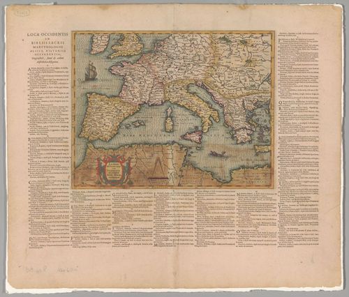
E42 - 1624 - LUMEN HISTORIARUM per OCCIDENTEM exconatibus Fran.Harei Antuerpiae
13
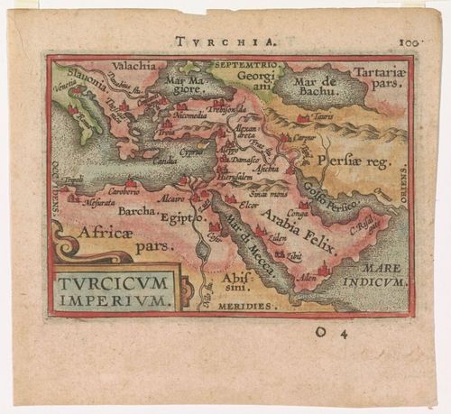
E42 - 1592 - TURCHIA
14
E42 - 1593 - PALESTINAE SIVE TOTIUS TERRAE PROMISSIONIS NOVE DESCRPTIO AUCTORE TILEMANNO STELIA SIGENENS
15
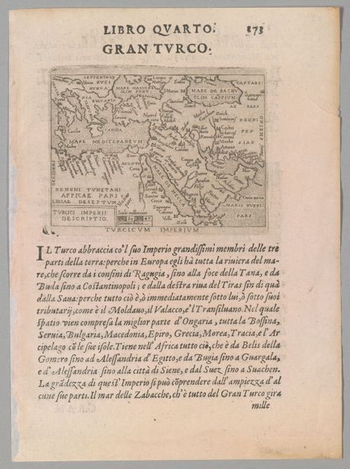
E42 - 1570 - LIBRO QUARTO GRAN TURCO
16
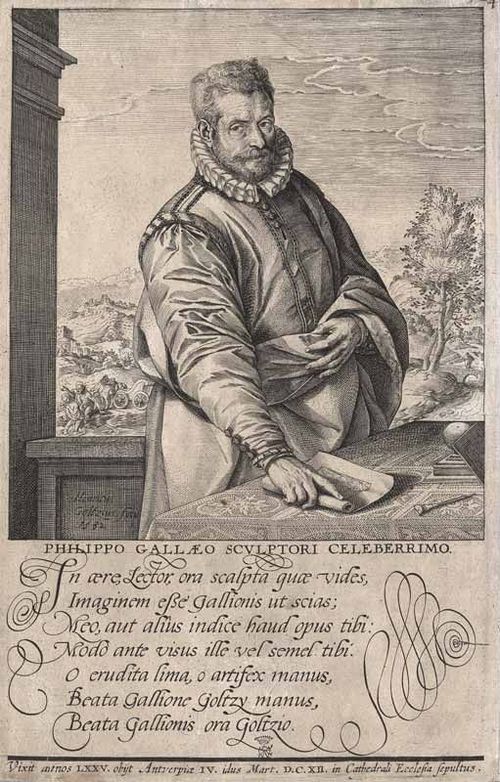
E42 - Philip Galle
17
E42 - Theatri Orbis Plantinus - Title Page
Place a DOT on the image