

Paris Transformed
Step 0 of 0
1
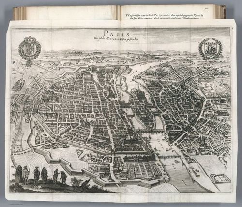
1620 Paris
2
1705 Paris
3
1785 Paris
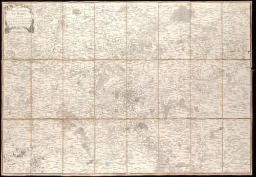
4
1805 Paris
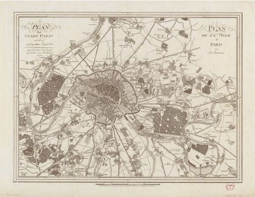
5
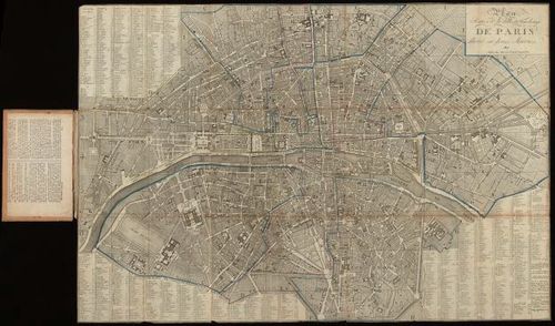
1811 Paris
6
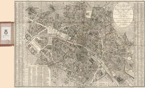
1823 Paris
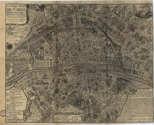
7
1834 Paris
8
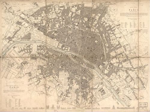
1852 Paris
9
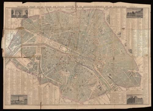
1854 Paris
10
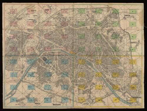
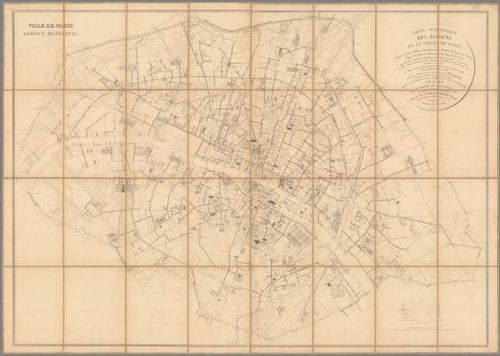
1865 Paris
11
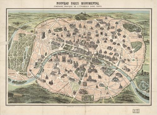
1878a Paris
12
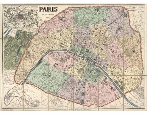
1878b Paris
13
1852b Paris
14
1855 Paris
15
1858 Paris
16
1860 Paris
17
1870a Paris
18
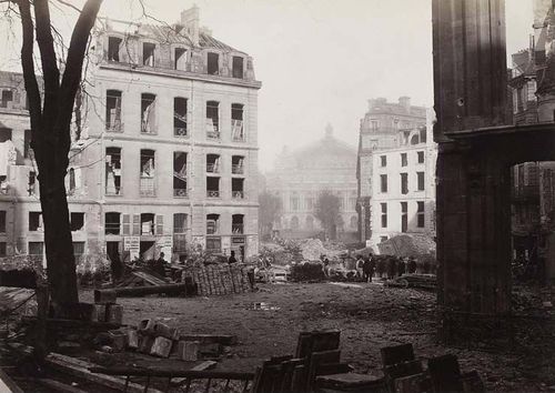
1870b Paris
19
1876a Paris
20
1876b Paris
21
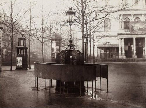
1876c Paris
22
1876d Paris
23
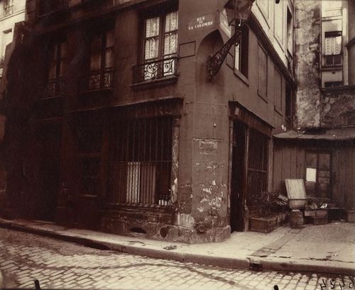
1923 Paris Atget Coin Rue de la Colombe
24
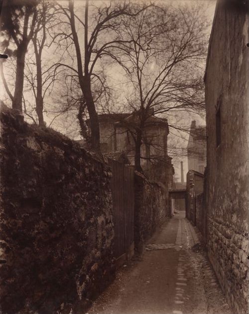
1926 Paris Atget Rue des Reculettes
Place a DOT on the image