Various Maps from the Collection of Ken Habeeb
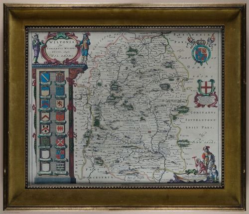
0 of 0

0 of 0

Click here to enter exhibit

Exhibit story


Image Title -


Step 0 of 0

e373 |

Dot story


Image Title -


Step 0 of 0

e373 |

1

E373 - Wiltonia - 12218-12219
Image 1 of 1 | e373 | i12941 | 12843x11060px E373 - Wiltonia - 12218-12219

A richly detailed, 1645 English county map by the well-known Dutch cartographer, Joan Blaeu, of the county of Wiltshire, in the Southwest of England. Not the first map of Wiltshire (cartographer John Speed's was earlier), but nevertheless nicely engraved and colored. Wiltonia, the county name shown on the map, is the Latin equivalent of Wiltshire. Wiltshire county, Great Britain, is most famous for the landmark called Stonehenge. John Speed, in his map of the county, featured Stonehenge prominently in an upper corner of the map. You'll have to look hard to see it in this map by Blaeu. But then, he was a Dutchman [clue: look for a tiny brown, button-like image]. Still, it's a fine map with multiple images and some notes as well. The cartouche at bottom right is of a sprightly putti assisting what may be an architect, who in turn appears to be under the guidance of a lord on horseback, the floppy hat and adorned clothing telling us that he is royalty to be heeded! 

The map was part of the fourth volume of Blaeu's Atlas Novus, his atlas of England. Blaeu knew a market when he saw one!

One of the leading examples of English gothic architecture, Salisbury Cathedral, completed in 1258, is shown in the map just below Stonehenge. Wiltshire county is famous for other sites as well, though you may not be able to seem them on this map... Avebury Ring, a UNESCO World Heritage Site, is a stone monument which encircles the town of Avebury and is believed to have been constructed between 2850 and 2200 bce. As well, Silbury Hill, is a prehistoric artificial chalk mound near Avebury. Wilshire county has been a tourist destination for not hundreds, but thousands of years. 

[Older frame with velvet mat.]

0

E373 - Wiltonia - 12218-12219

A richly detailed, 1645 English county map by the well-known Dutch cartographer, Joan Blaeu, of the county of Wiltshire, in the Southwest of England. Not the first map of Wiltshire (cartographer John Speed's was earlier), but nevertheless nicely engraved and colored. Wiltonia, the county name shown on the map, is the Latin equivalent of Wiltshire. Wiltshire county, Great Britain, is most famous for the landmark called Stonehenge. John Speed, in his map of the county, featured Stonehenge prominently in an upper corner of the map. You'll have to look hard to see it in this map by Blaeu. But then, he was a Dutchman [clue: look for a tiny brown, button-like image]. Still, it's a fine map with multiple images and some notes as well. The cartouche at bottom right is of a sprightly putti assisting what may be an architect, who in turn appears to be under the guidance of a lord on horseback, the floppy hat and adorned clothing telling us that he is royalty to be heeded! 

The map was part of the fourth volume of Blaeu's Atlas Novus, his atlas of England. Blaeu knew a market when he saw one!

One of the leading examples of English gothic architecture, Salisbury Cathedral, completed in 1258, is shown in the map just below Stonehenge. Wiltshire county is famous for other sites as well, though you may not be able to seem them on this map... Avebury Ring, a UNESCO World Heritage Site, is a stone monument which encircles the town of Avebury and is believed to have been constructed between 2850 and 2200 bce. As well, Silbury Hill, is a prehistoric artificial chalk mound near Avebury. Wilshire county has been a tourist destination for not hundreds, but thousands of years. 

[Older frame with velvet mat.]

0
Image 1 of 1
e373
i12941
12843x11060px
Dots count
0

No dots yet

Place a DOT on the image