

Captain Cook Engravings and Maps
Step 0 of 0
1
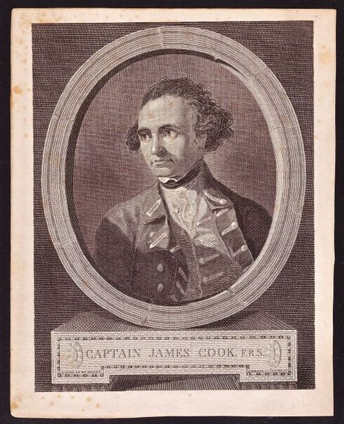
Captain Cook portrait by William Hodges 1777
2
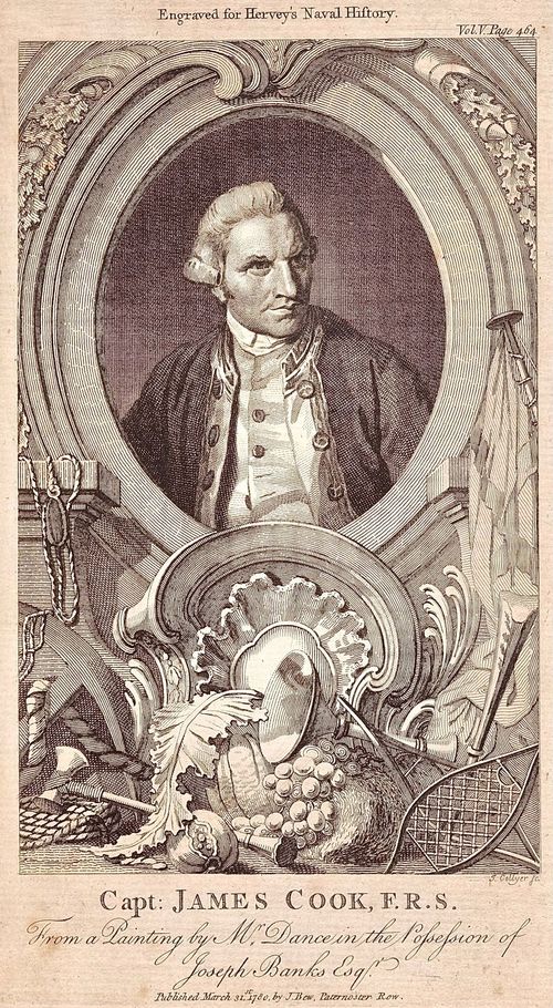
Captain Cook Portrait Engraved by Joseph Collyer
3
Cook Three Voyages
4
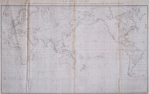
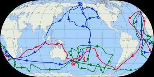
Map of Cook Voyages 1784
5
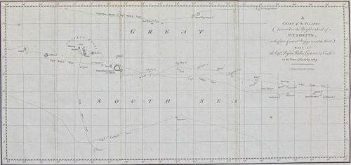
A chart of the islands discovered in the neighbourhood of Otaheite
6
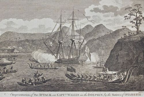
The Attack on Captain Wallis
7
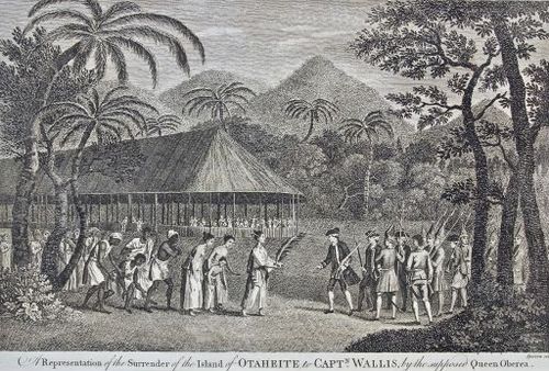
Surrender of the Island of Otaheite to Captain Wallis
8
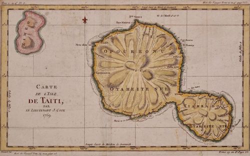
Carte de Isle de Tahiti
9
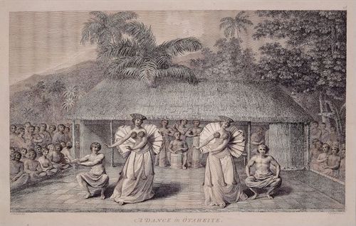
Dance in Otaheite
10
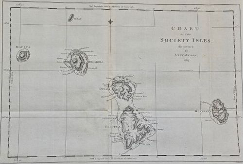
Chart of the Society Isles
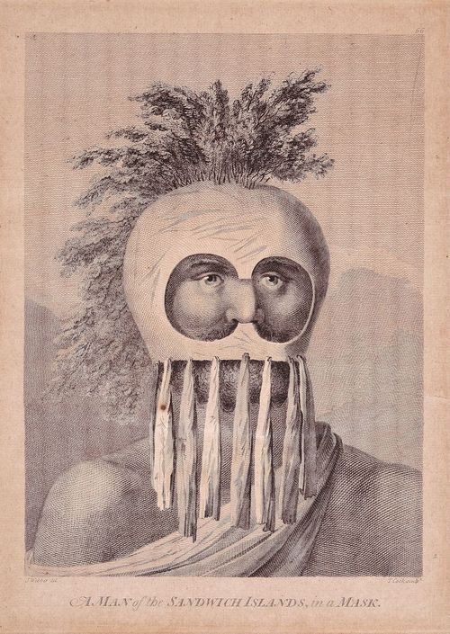
11
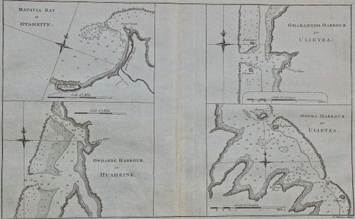
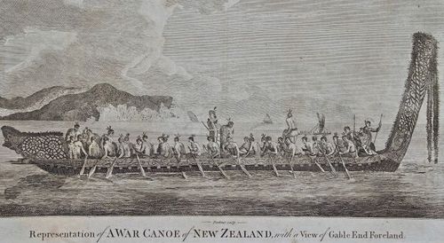
Matavia Bay Otaheite
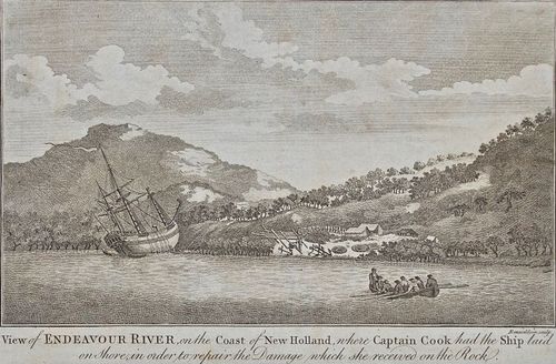
12
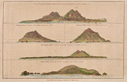
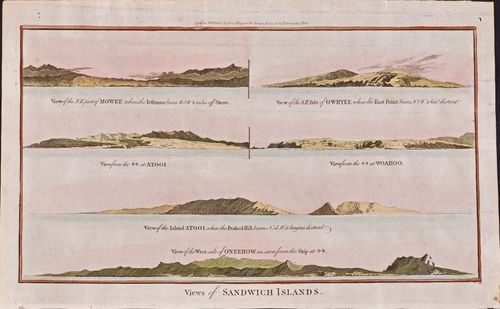
Topographic Views of Five Islands in the Pacific discovered by Capt Cook
13
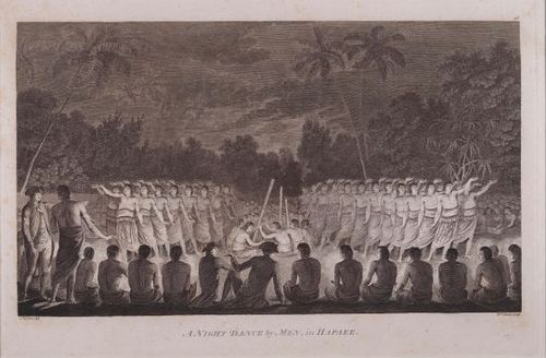
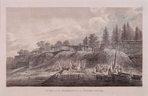
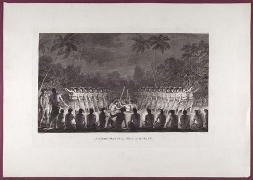
Night Dance of Men Tonga 1777
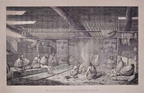
14
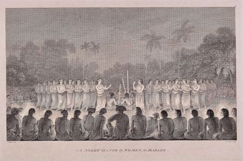
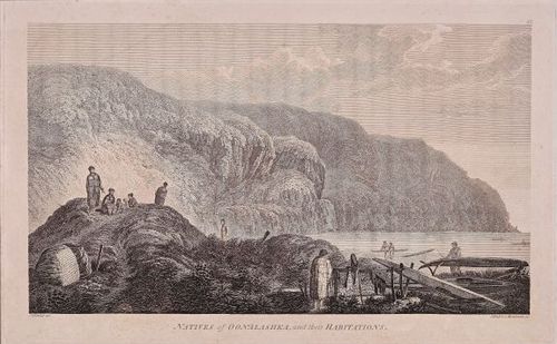
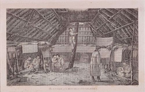
Night Dance of Women
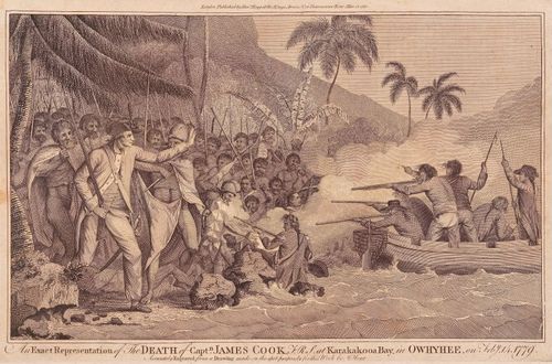
15
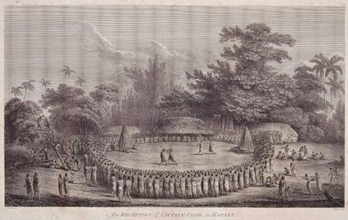
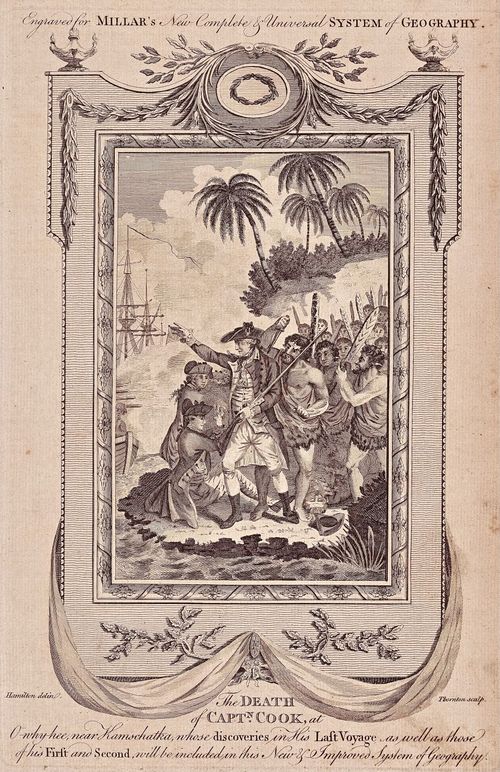
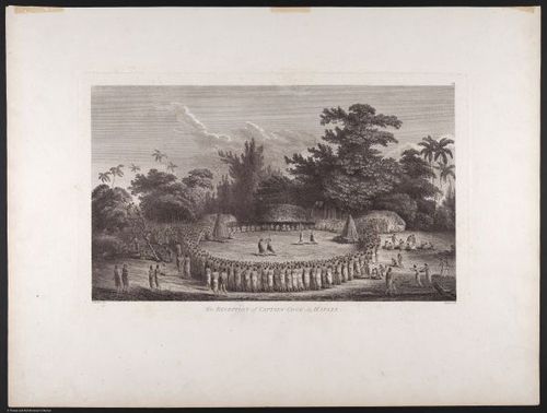
Reception of Captain Cook in Hapaee
16
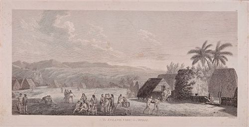
An inland view in Atooi Kauai
17
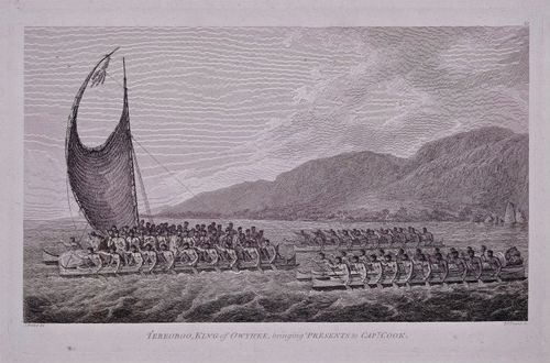
King of Owyhee bringing bring gifts to Captain Cook
18
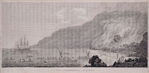
Cook arrives Karakakooa Bay Hawaii
19
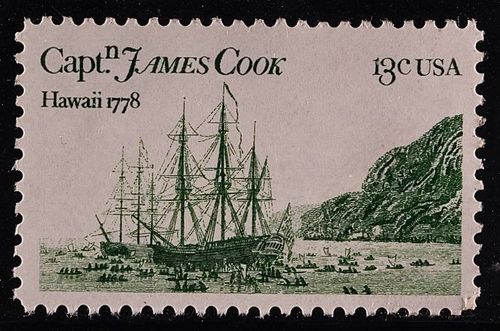
Captain Cook US Stamp
20
Hawaiian Rowers Masked with Priest 1784
21
Masked Man of Sandwich Islands
22
A War Canoe of New Zealand
23
Endeavor River on the Coast of New Zealand
24
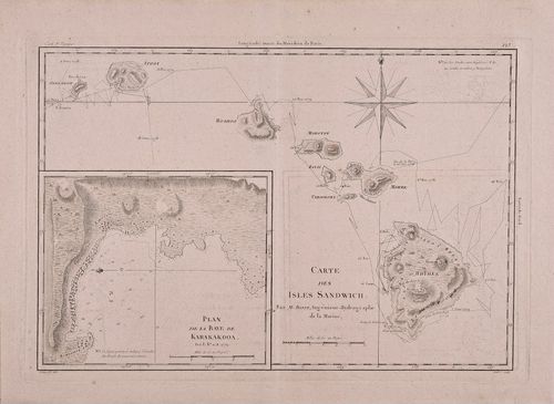
Cartes des Isles Sandwich 1787
25
Topography of Sandwich Islands
26
A View of the Habitations in Nootka Sound
27
The Inside of a House in Nootka Sound
28
Natives of Oonalashka and their habitations
29
Inside of a house in Oonalashka
30
Death of Cook at Karakakooa Bay
31
Death of Cook for Millar
32
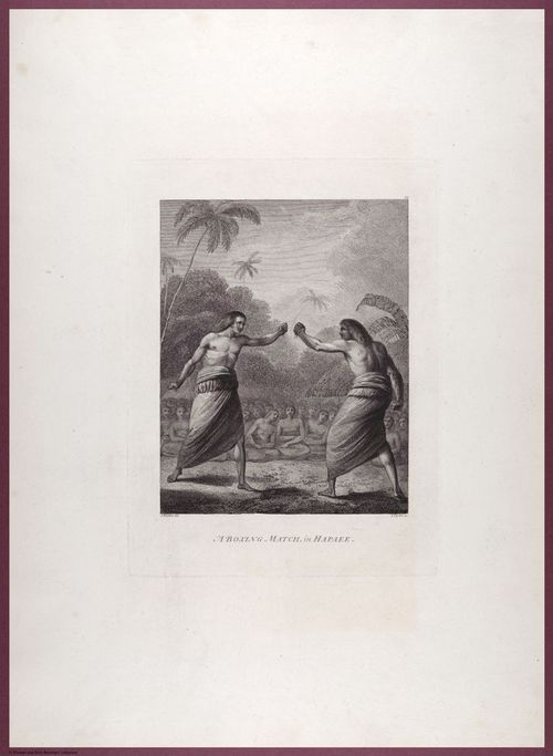
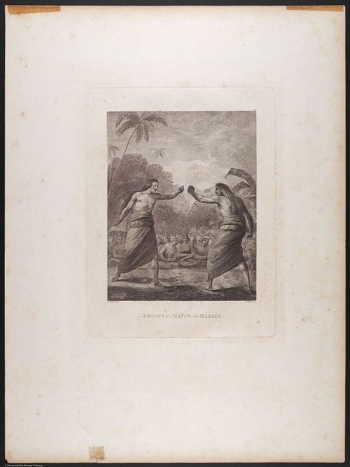
E504 - Various Rich Breiman - i0700222
33
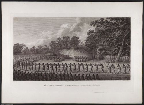
E504 - Various Rich Breiman - i0700224
34
E504 - various Rich Breiman - i0700206
35
E504 - Various Rich Breiman - i0700210
36
E504 - Various Rich Breiman - i0700211
37
E504 - Various Rich Breiman - i0700212
Place a DOT on the image