

Colossi Maps
Step 0 of 0
1
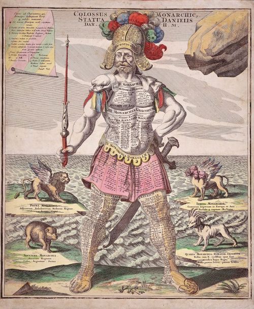
1728 Colossal Kings Plate 1
2
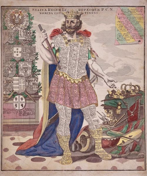
1728 Colossal Kings Plate 2
3
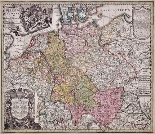
Imperium Romano Germanicum 1728
4
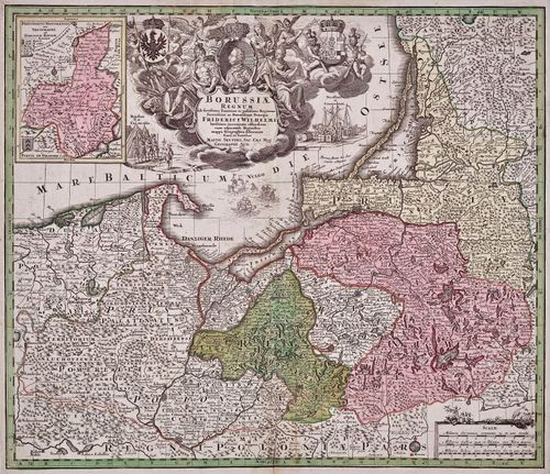
Borussaie Regnum 1728
5
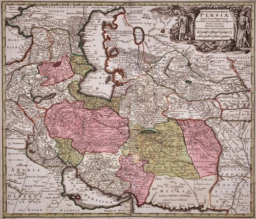
Opulentissimi Regni Persiae 1730
Place a DOT on the image