

17th Century Vignette Maps
Step 0 of 0
1
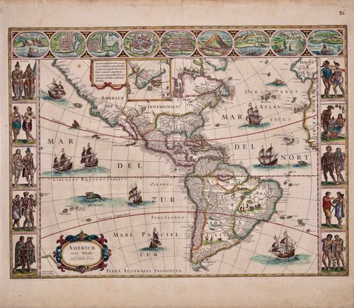
E34 - Americae Nova Tabula 1635
2
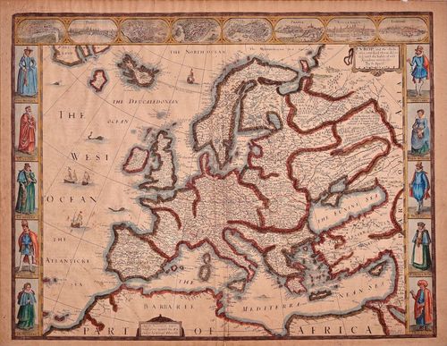
E34 - John Speed Europe and Chief Cities 1626
3
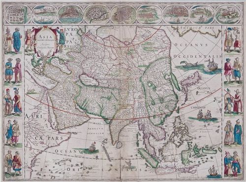
E34 - Asia Noviter Delineata 1635
4
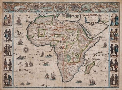
E34 - Africa Nova Descriptio 1635
5
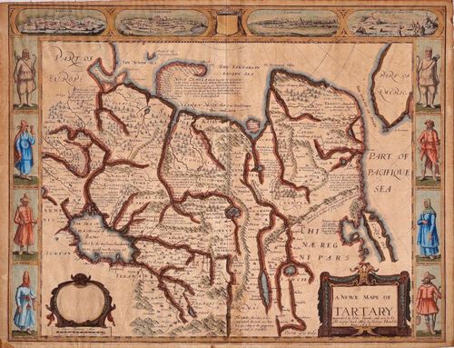
E34 - A New Map of Tartary 1626
6
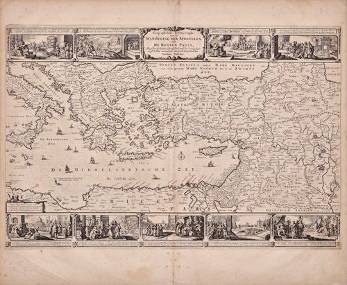
E34 - Walking Tour of the Apostle Paul 1669
7
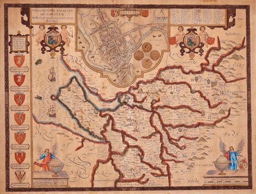
E34 - John Speed - The Countye of Palatine of Chester 1611
Place a DOT on the image