

Vaugondy Atlas - 1845
Step 0 of 0
1
E231 - Сover Atlas Geography - i1602
2
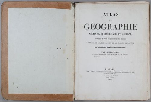
E231 - Atlas Geography 1845 - i1603
3
E231 -Atlas Geography - i1604
4
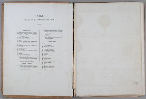
E231 - Table of maps in this atlas - i1605
5
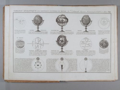
E231 - Analytical table of the different systems of the world 1838 - i1606
6
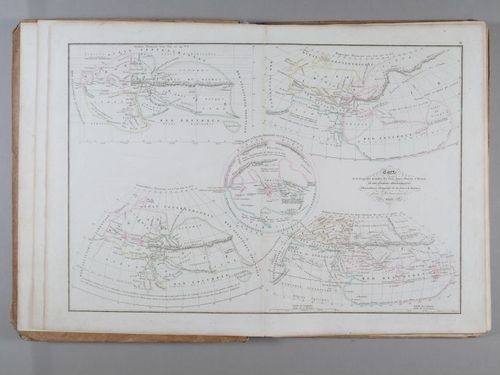
E231 - Map of the primitive geography of the Greeks according to Homer and Hesiod, and geographic systems.1838 - i1607
7
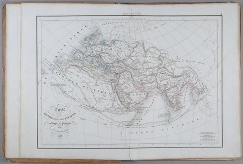
E231 - The world map connects the ancients In the time of Ptolemy by Delamarche 1838 - i1608
8
E231 - Vaugondy Atlas 1844 - i 1609
9
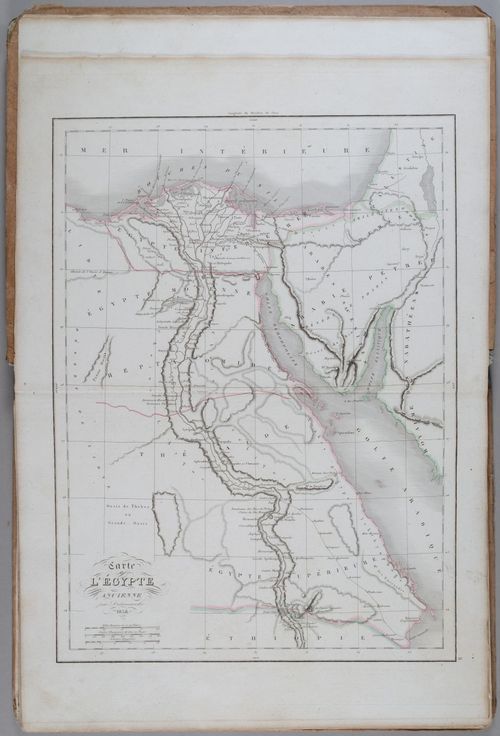
E231 - Map of Ancient Egypt 1838 - i1610
10
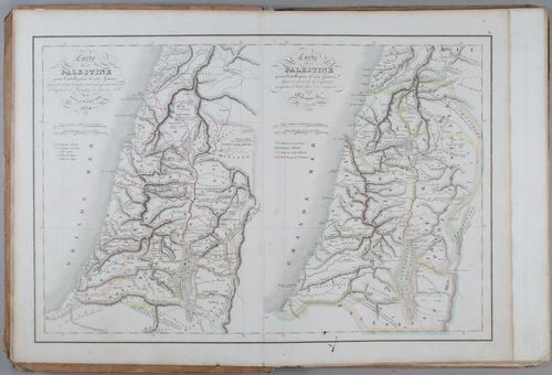
E231 - Map of Palestine 1838 - i1611
11
E231 - Map of Ancient Crete 1845 - i1612
12
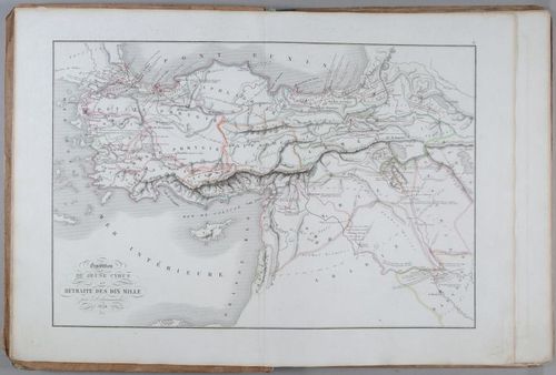
E231 - Map of the Expedition of the Young Cyrus and the Retreat of Ten Thousand 1838. - i1613
13
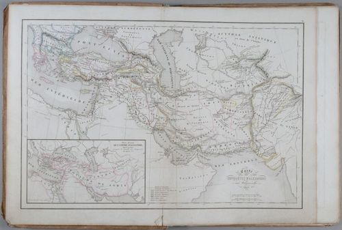
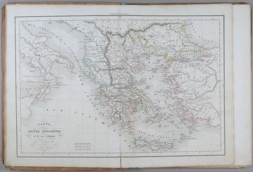
E231 - Map of the Alexandria Conquets in 1845 - i1614
14
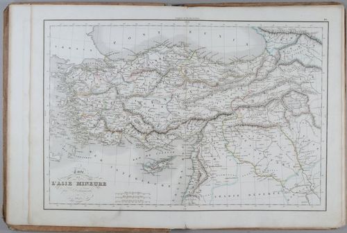
E231 - Map of Asia Minor, 1845 - i1615
15
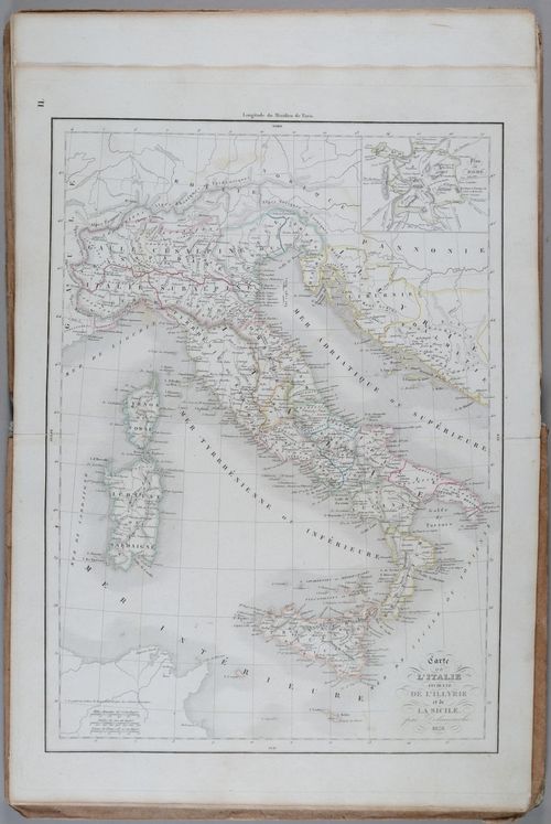
E231 - Map of Ancient Italy, Illyria, and Sicily, 1835 - i1616
16
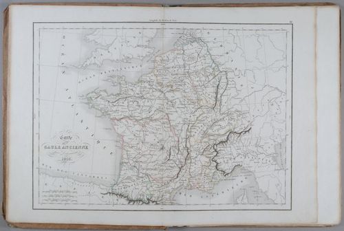
E231 - Map of Ancient Gaul, 1838 - i1617
17
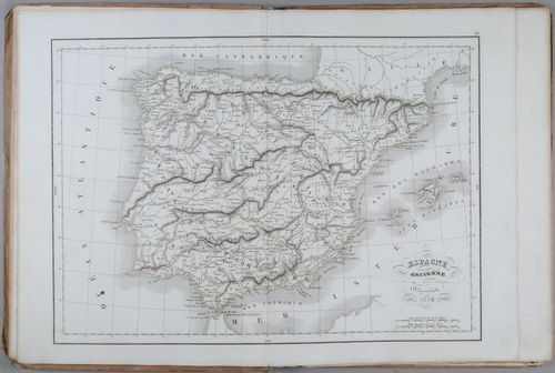
E231 - Map of Ancient Spain 1838 - i1618
18
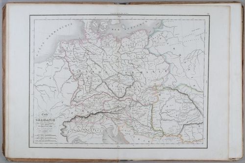
E231 - Map of Germany and Adjacent Countries, 1838 - i1619
19
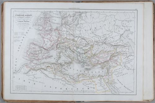
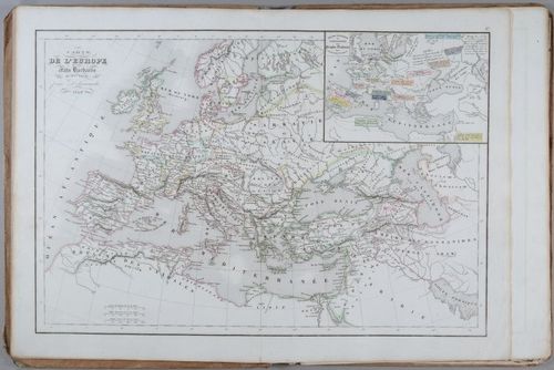
E231 - Map of the Roman Empire, 1845 - i1620
20
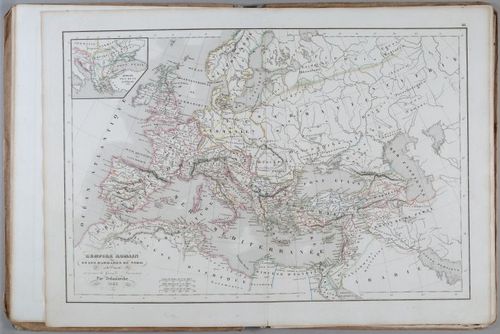
E231 - Roman Empire 1843 - i1621
21
E231 - Map of Europe 1843 - i1622
22
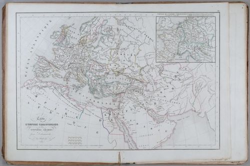
E231 - Map of the Karlovingian and Arabian Empires of 1843 - i1623
23
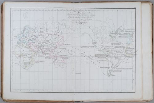
E231 - A map of the state of the world at the end of the XVth century. 1858 - i1624
24
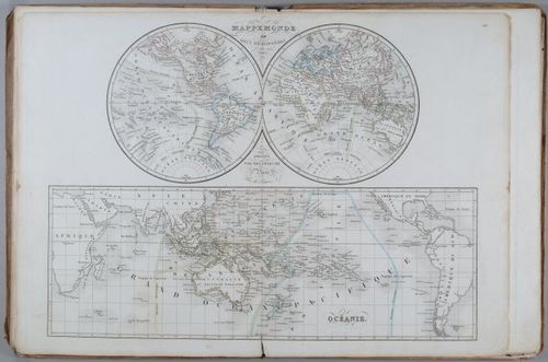
E231 - Map of the World in Two Hemispheres 1842 - i1625
25
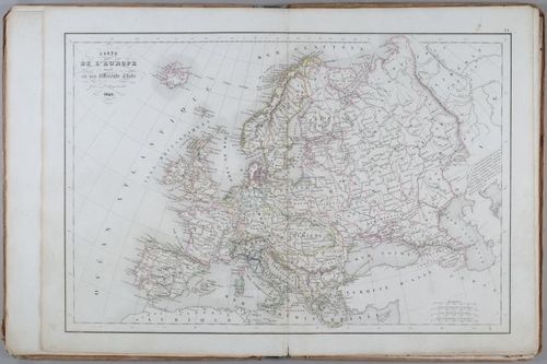
E231 - Map of Europe 1845 - i1626
26
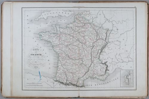
E231 - Map of France 1838 - i1627
27
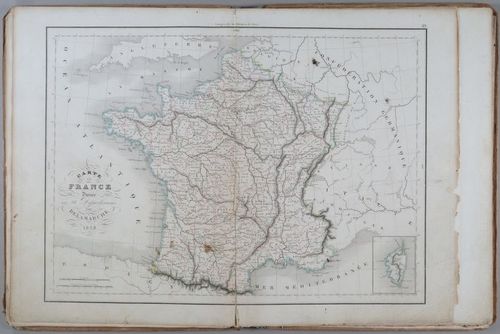
E231 - Map of France 1838 - i1628
28
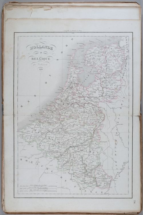
E231 - Map of Holland and Belgium 1838 - i1629
29
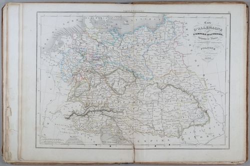
E231 - Map of Germany of the Austrian Empire 1838 - i1630
30
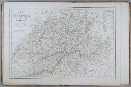
E231 - Map of Switzerland 1843 - i1631
31
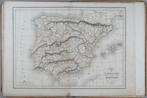
E231 - Map of Spain 1838 - i1632
32
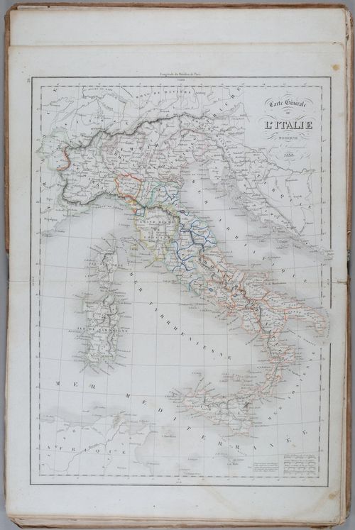
E231 - Map of Italy 1838 - i1633
33
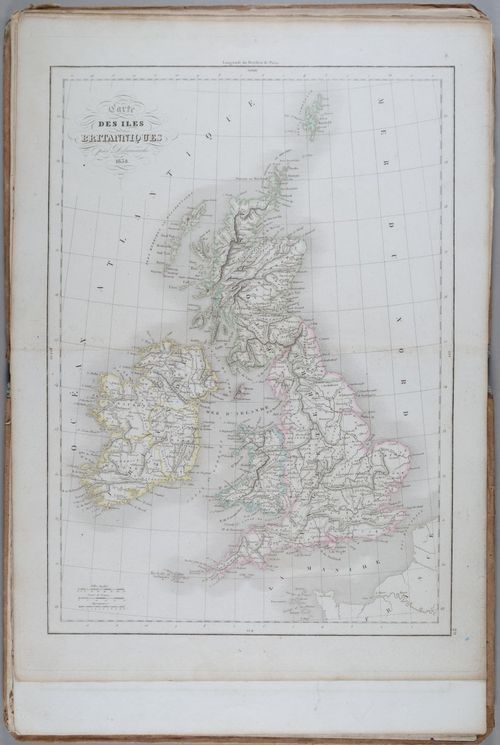
E231 - Map of the British Isles 1838 - i1634
34
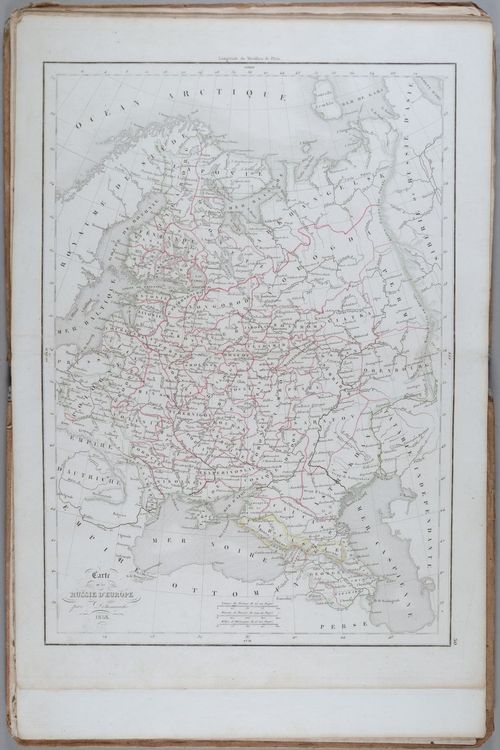
E231 - Map of Russia in Europe 1838 - i1635
35
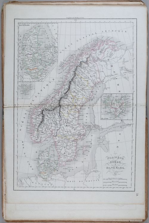
E231 - Map of Norway and Denmark 1838 - i1636
36
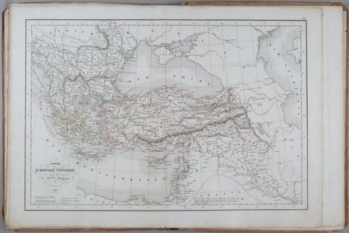
E231 - Map of the Ottoman Empire 1845 - i1637
37
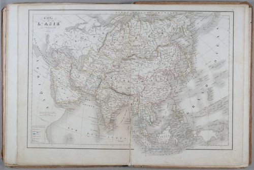
E231 - Map of Asia 1843 - i1638
38
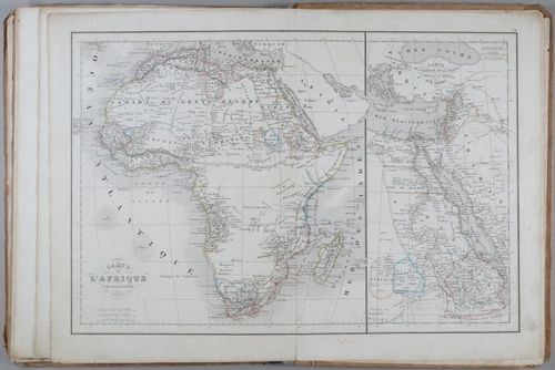
E231 - Map of Africa 1843 - i1639
39
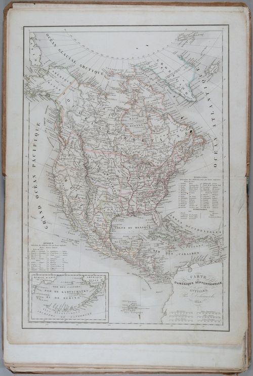
E231 - Map of North America 1844 - i1640
40
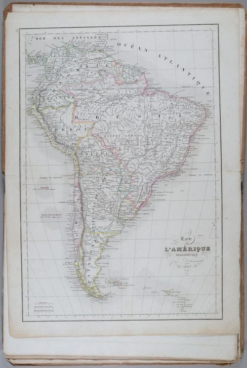
E231 - Map of America 1843 - i1641
41
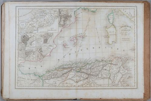
E231 - Map of Algeria 1842 - i1642
42
E231 - Сover Atlas Geography - i1643
Place a DOT on the image