

Various California Maps
Step 0 of 0
1
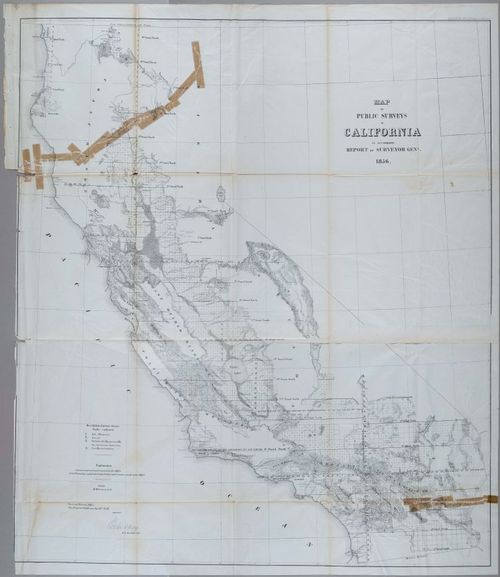
E227 - 1856 California Map San Francisco Grants Los Angeles
2
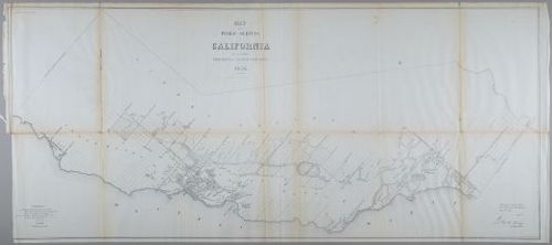
E227 - 1854 California Map
3
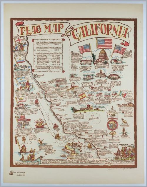
E227 - Historic Pictorial Flag Map of California
4
E227 - Early Mid-century Pictorial Japanese World Map
5
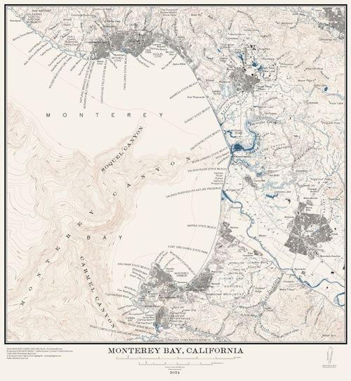
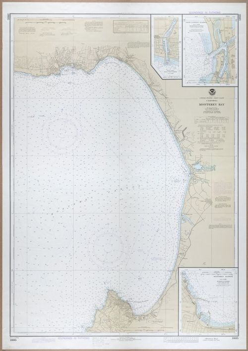
Monterrey Bay by Evan Applegate - April 2024
6
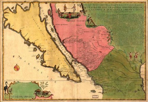
La Californie ou Nouvelle Caroline - Nicolas de Fer - 1720
7
![[ 2025-08-09 02:43:12 ]](https://iiif.pixeum.org/iiif/3/1754707406/full/500,/0/default.jpg)
[ 2025-08-09 02:43:12 ]
8
![[ 2025-08-09 02:45:09 ]](https://iiif.pixeum.org/iiif/3/1754707557/full/500,/0/default.jpg)
[ 2025-08-09 02:45:09 ]
9
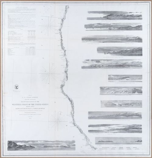
Reconnaissance of the Western Coast of the United States - 1854
10
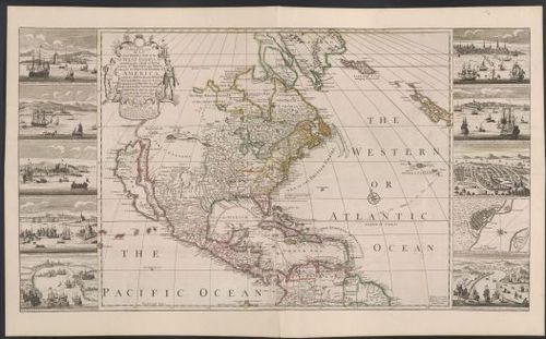
North America - Henry Overton - 1741
11
E227 - Various CA - 2533
12
E227 - Various CA - 13833-13834-13835-13836
13
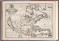
A New Map of North America - Edward Wells - abt 1700
Place a DOT on the image