

Various European and World Maps
Step 0 of 0
1
![[ 2026-07-12 17:21:50 ]](https://www.davidrumsey.com/luna/servlet/iiif/RUMSEY~8~1~290417~90061976/full/200,/0/default.jpg)
[ 2026-07-12 17:21:50 ]
2
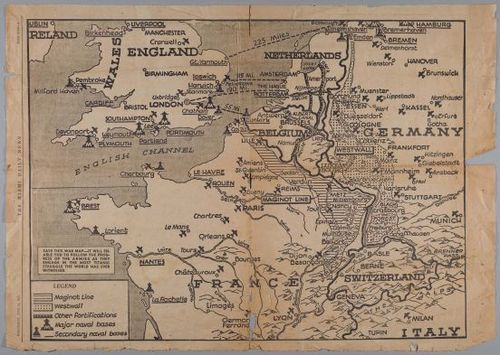
E226 - War Map
3
E226 - Map of Geneva Omega Longines Advertisement Broadside. 1
4
E226 - Map of Geneva Omega Longines Advertisement Broadside.2
5
E226 - Map of Geneva Omega Longines Advertisement Broadside.3
6
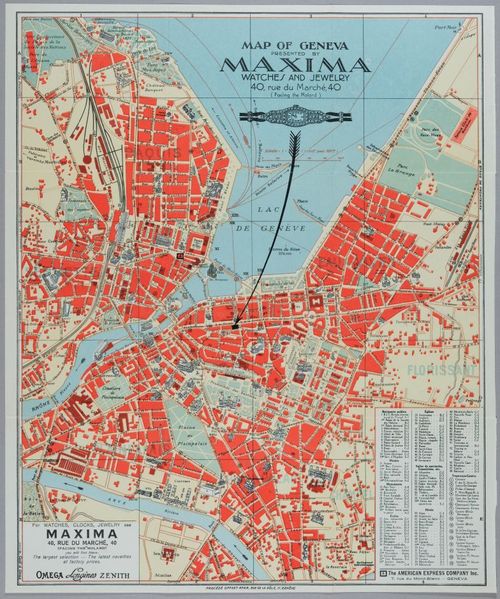
E226 - Map of Geneva Omega Longines Advertisement Broadside. 4
7
E226 - Various Europena - i12907-12908-12909-12910-12911-12912
8
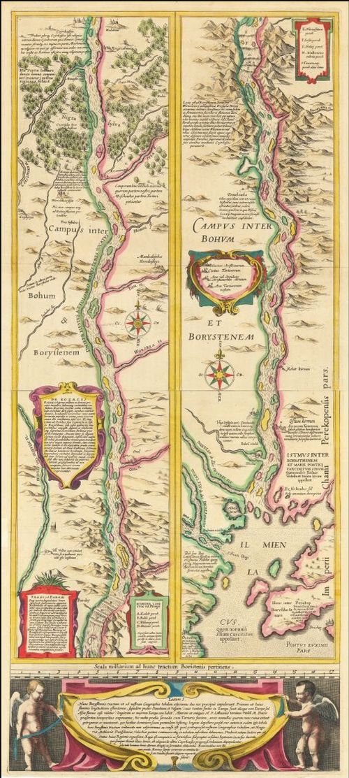
E226 - Campus inter Bohum et Borystenem - 1635
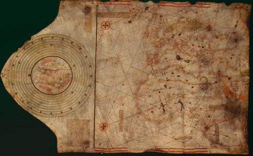
9
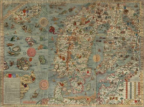
Carta Marina
10
Carta Marina LOC
11
1933 Keizo Shimada Japanese Manga Pictorial Map of the World
12
Japanese World Map with Stereotypes - 1932
13
Ulm Ptolemy - 1482
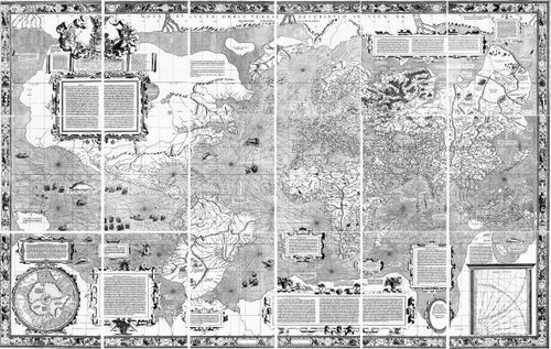
14
World Map - Mercator - 1569
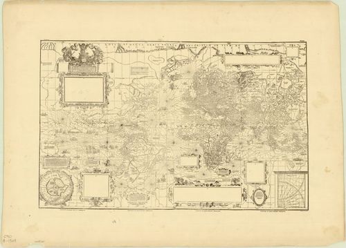
15
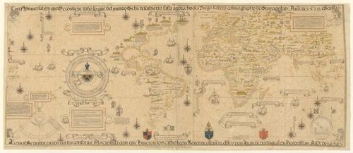
World Map - Ribeiro - 1529
16
King/Hamy World Map - 1520
17
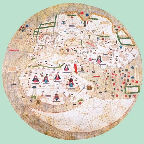
Catalan Estense World Map - 1450
18
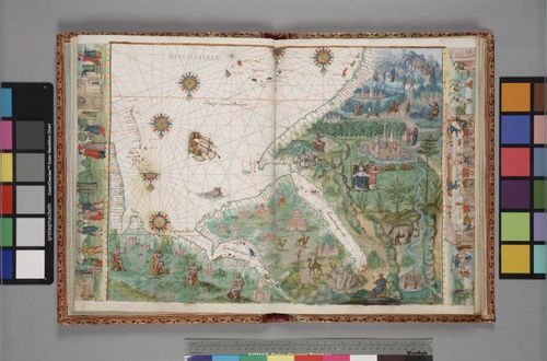
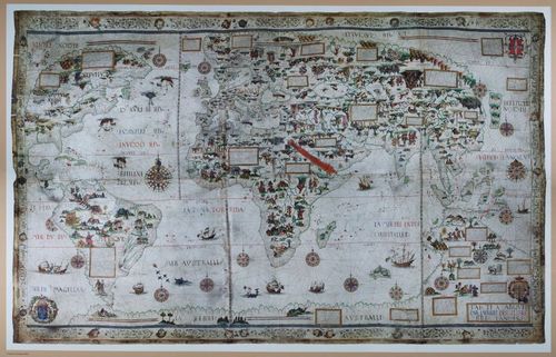
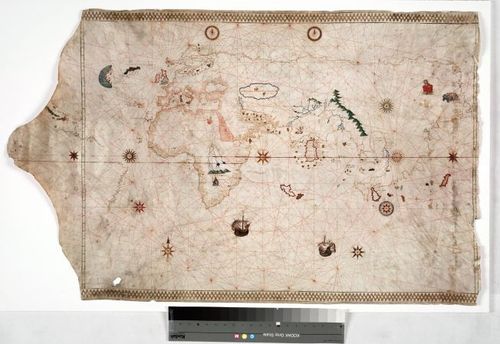
Vallard Atlas - 1547
19
World Map - Mercator - 1569
20
The Columbus Map - 1490
21
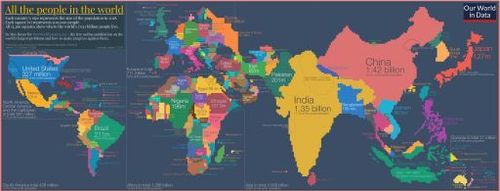
Population Cartogram
22
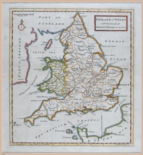
E226 - Map of England - i12141
23
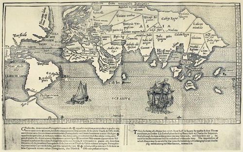
Thorne World Map
24
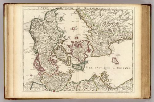
Danemarc - 1707 (gift from Danny Brooks to his daughter)
25
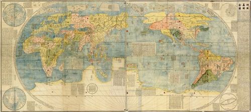
Kunyu Wanguo Quantu - 1602
Place a DOT on the image