

Various Maps of London & the British Isles
Step 0 of 0
1
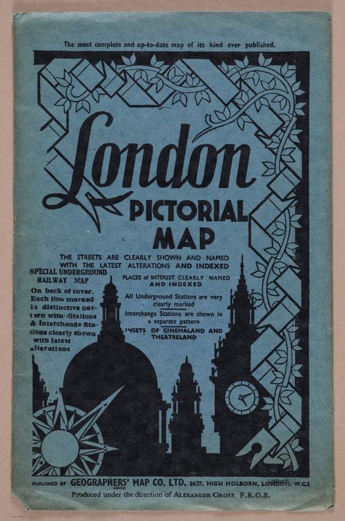
E222 - Various British Isles - i9694
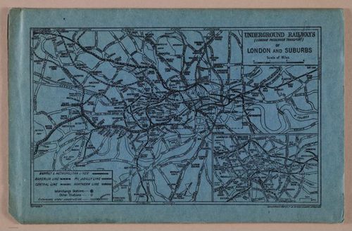
2

E222 - Various British Isles - i9699
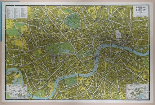
3
E222 - Various British Isles - i9695
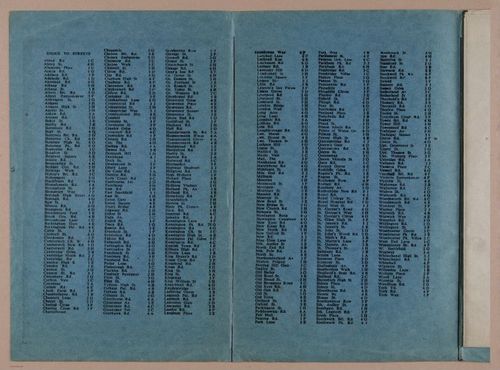
4
E222 - Various British Isles - i9696-9697
5
E222 - Various British Isles - i9698
6
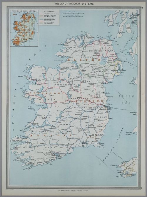
E222 - 1907 Ireland Railroad Map Leinster Munster Connaught Belfast
7
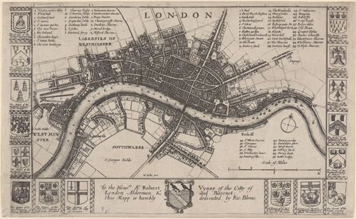
Map of London, before the Fire of 1666, Creator: Wenceslaus Hollar, Date Created: ca. 1667
8
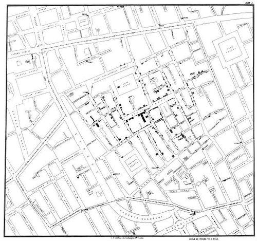
“On the Mode of Communication of Cholera” - John Snow - 1854 (Annie Gustafson)
Place a DOT on the image