

Various China and East Asian
Step 0 of 0
1
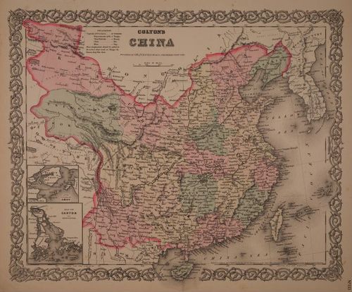
E214 - Various China - 1000
2
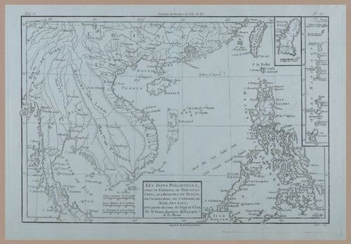
E214 - Various China - 1730
3
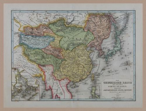
E214 - Various China - 1752
4
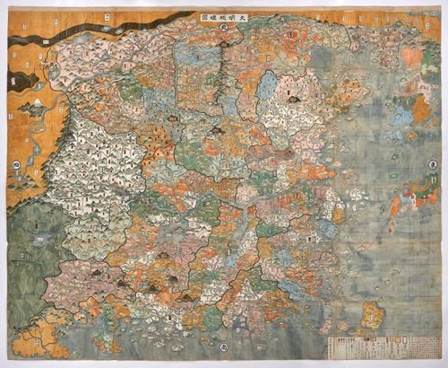
Geographical Map of Great Ming - 1681 - Denver Art Museum - from Wes Brown
5
![[ 2024-05-08 01:41:43 ]](https://iiif.pixeum.org/iiif/3/1715132634/full/500,/0/default.jpg)
[ 2024-05-08 01:41:43 ]
6
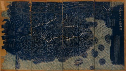
Da Qing wan nian yi tong di li quan tu 1816
7
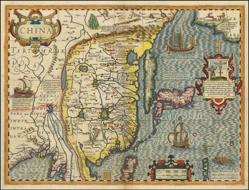
China - Hondius - 1606
Place a DOT on the image