

Maps for Tom Paper talk to CMS 5 Nov 2022 & ERTSF 28 June 2021
Step 0 of 0
1
E170 - CMS Talk by Tom Paper - 5 November 2022
2
E170 - Antique Maps and Geospatial Analysis
3
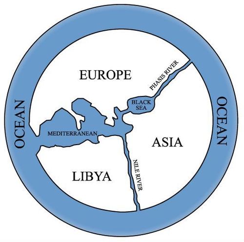
E170 - 500BC Anaximander World Map
4
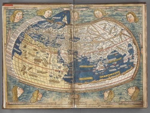
E170 - Ptolemy map of the world
5
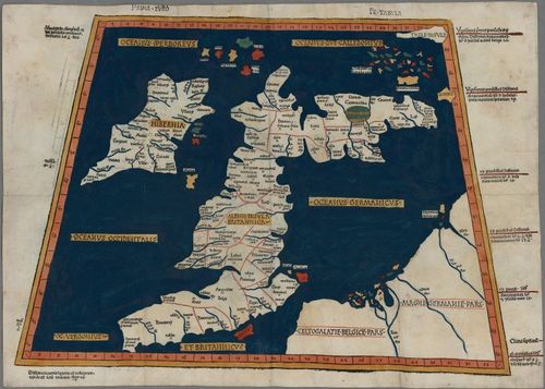
E170 - Ptolemy map of Great Britain and Ireland
6
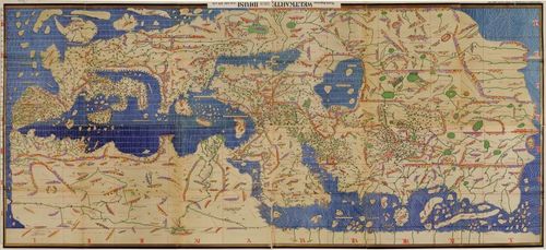
E170 - 1154 Tabla Rogeriana by Al Idrisi
7
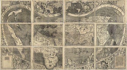
E170 - 1507 Waldseemueller - map of the world
8
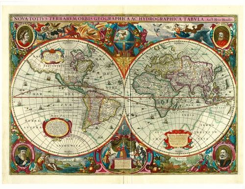
E170 - 1630 Hondius - map of the world
9
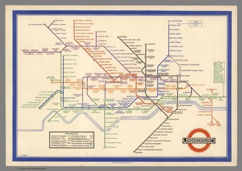
E170 - 1933 Harry Beck - Underground Map
10
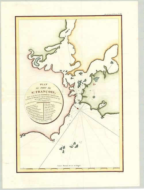
E170 - 1798 La Perouse San Francisco Bay
11
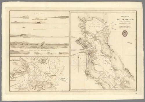
E170 - 1833 San Francisco Bay Map by Beechey
12
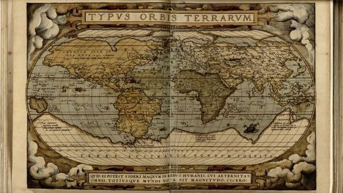
E170 - 1570 Ortelius - Typus Orbus Terrarum
13
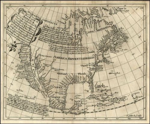
E170 - 1625 Henry Briggs - North America
14
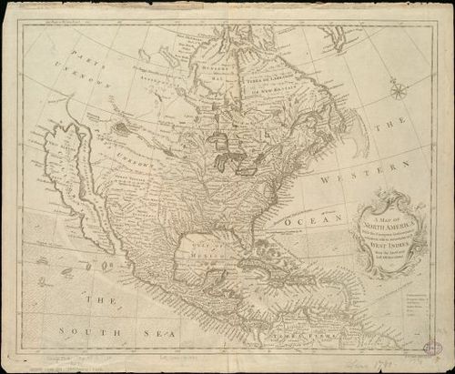
E170 - 1745 Richard William Seale - North America
15
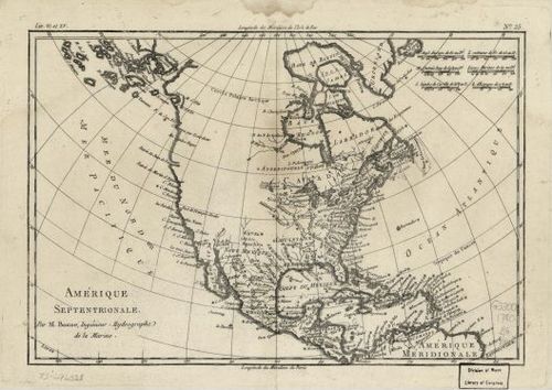
E170 - 1780 Rigobert Bonne - North America
16
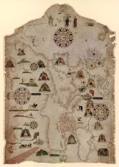
E170 - 1559 Prunes - Portolan chart of the Mediterranean
17
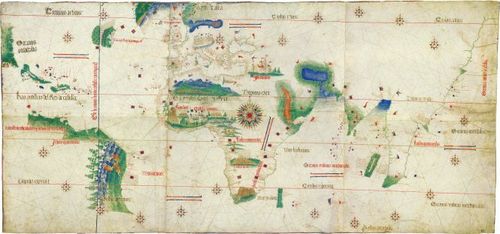
E170 - 1502 Alberto Cantino - Cantino Planisphere world map
18
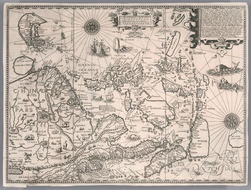
E170 - 1593 Jan Huygen Van Linschoten - East Asia
19
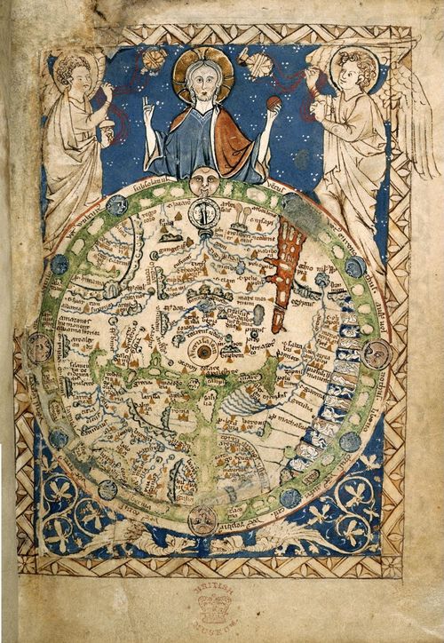
E170 - Psalter Map - 1265 - M5743
20
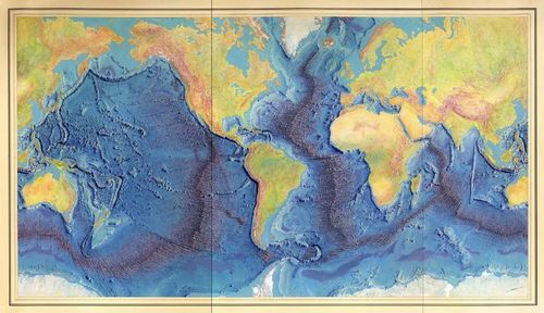
E170 - Map of the Ocean Floor 1977
Place a DOT on the image